Hornby

Civil Parish in Yorkshire Hambleton

England

Hornby

Fieldside track at High Entercommon Farmer's track accessed via a locked gate. No right of way here.
Fieldside track at High Entercommon Credit: Gordon Hatton

Hornby is a civil parish located in the district of Richmondshire, in the county of Yorkshire in England. It is situated on the southern banks of the River Ure, approximately 6 miles northwest of the market town of Bedale. The parish covers an area of about 7 square miles and has a population of around 350 people.

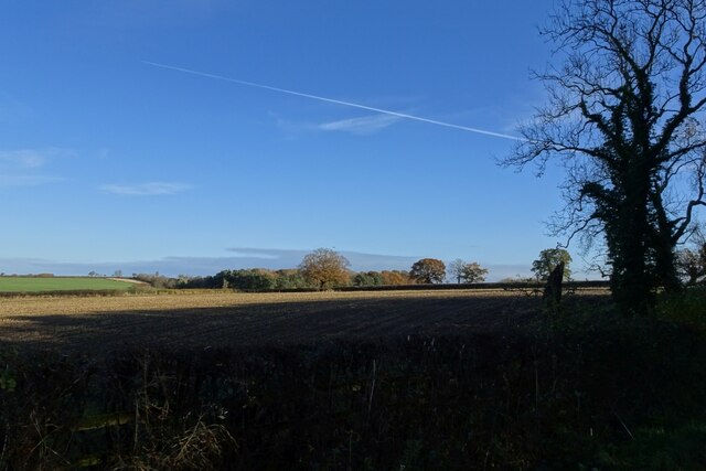
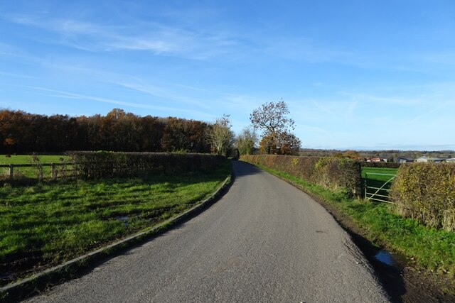
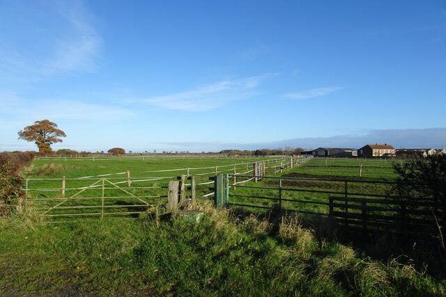
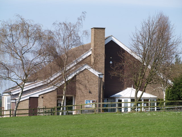
Hornby is a rural village with a rich history dating back to the medieval period. It is known for its picturesque landscapes, rolling hills, and charming stone houses. The village is centered around a 13th-century castle, which has been converted into a private residence and is not open to the public. The castle, along with the nearby St. Mary's Church, adds to the historical charm of the area.

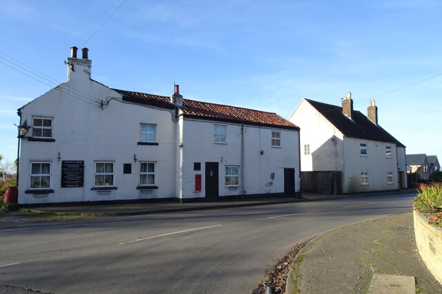
The village has limited amenities, with a small primary school, a village hall, and a local pub being the main focal points. However, residents have easy access to nearby towns for additional services and facilities.

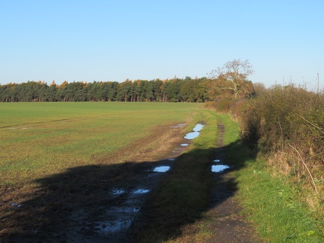
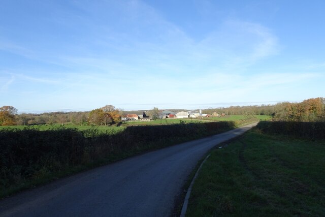
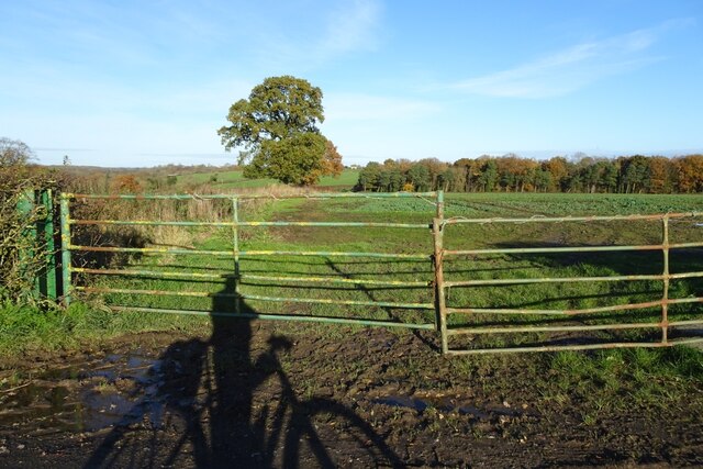
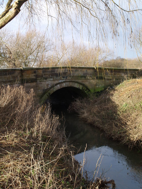
Hornby is surrounded by beautiful countryside, making it a popular destination for outdoor enthusiasts. The area offers numerous walking and cycling routes, allowing visitors to explore the scenic surroundings. The River Ure also provides opportunities for fishing and watersports.

Overall, Hornby is a peaceful and picturesque village in Yorkshire, offering a tranquil setting for residents and visitors alike to enjoy the beauty of the English countryside.

If you have any feedback on the listing, please let us know in the comments section below.

Hornby Images

Images are sourced within 2km of 54.440822/-1.439981 or Grid Reference NZ3605. Thanks to Geograph Open Source API. All images are credited.

Fieldside track at High Entercommon Farmer's track accessed via a locked gate. No right of way here.
Fieldside track at High Entercommon
Farmer's track accessed via a locked gate. No right of way here.
Road towards Staindale Bridge National Cycle Network route 165 runs along here.
Road towards Staindale Bridge
National Cycle Network route 165 runs along here.
Farmland near Staindale Bridge Fields north of the road and south of Staindale Bridge.
Farmland near Staindale Bridge
Fields north of the road and south of Staindale Bridge.
Fields beside a bend in the road Looking across fields in the low winter sun.
Fields beside a bend in the road
Looking across fields in the low winter sun.
Road towards Staindale Bridge National Cycle Network route 165 runs along here.
Road towards Staindale Bridge
National Cycle Network route 165 runs along here.
Fields near Staindale Grange Staindale Grange Farm is on the right.
Fields near Staindale Grange
Staindale Grange Farm is on the right.
Road verge near Staindale West Looking along the B1264 towards Yarm.
Road verge near Staindale West
Looking along the B1264 towards Yarm.
Road towards Yarm Looking along the B1264 towards Yarm near Staindale West.
Road towards Yarm
Looking along the B1264 towards Yarm near Staindale West.
Field near Dales Farm Looking over a hedgerow from a road near Hornby.
Field near Dales Farm
Looking over a hedgerow from a road near Hornby.
Road towards the B1264 The road heads from Hornby to meet the road to Yarm. National Cycle Network route 165 runs along here.
Road towards the B1264
The road heads from Hornby to meet the road to Yarm. National Cycle Network route 165 runs along here.
Farm track north of Hornby Looking along a farm track to the north of Hornby.
Farm track north of Hornby
Looking along a farm track to the north of Hornby.
Road through Hornby National Cycle Network route 165 runs along here.
Road through Hornby
National Cycle Network route 165 runs along here.
The Grange Arms A pub in the village of Hornby. National Cycle Network route 165 runs along here.
The Grange Arms
A pub in the village of Hornby. National Cycle Network route 165 runs along here.
Road through the village of Hornby National Cycle Network route 165 runs along here.
Road through the village of Hornby
National Cycle Network route 165 runs along here.
Hornby Village National Cycle Network route 165 runs along here.
Hornby Village
National Cycle Network route 165 runs along here.
Fields north of the road near Hornby Farmland east of the village and north of the road.
Fields north of the road near Hornby
Farmland east of the village and north of the road.
Field near Longlands Farm Looking across a field from the road passing Longlands Farm.
Field near Longlands Farm
Looking across a field from the road passing Longlands Farm.
Road near Longland Farm National Cycle Network route 165 runs along here between Hornby and Appleton Wiske.
Road near Longland Farm
National Cycle Network route 165 runs along here between Hornby and Appleton Wiske.
Show me another place!

Hornby is located at Grid Ref: NZ3605 (Lat: 54.440822, Lng: -1.439981)

Division: North Riding

Administrative County: North Yorkshire

District: Hambleton

Police Authority: North Yorkshire

What 3 Words

///slam.factoring.jabs. Near Hurworth, Co. Durham

Nearby Locations

Hornby Hornby

Related Wikis

Hornby, Hambleton

Hornby is a village and civil parish in the Hambleton district of North Yorkshire, England. It lies on a minor road between Great Smeaton and Appleton...

Great Smeaton

Great Smeaton is a village and civil parish in North Yorkshire, England. It lies on elevated ground near the River Wiske, which is a tributary of the River...

Little Smeaton, Hambleton

Little Smeaton is a hamlet and civil parish in North Yorkshire, England. == Etymology == The name of Little Smeaton is first attested in the Domesday Book...

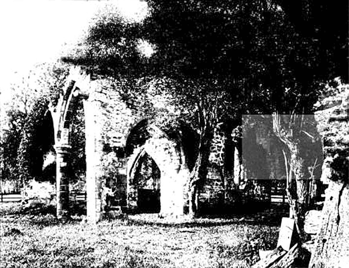
All Saints Church, Sockburn

All Saints Church is a ruined Church of England parish church in Sockburn, County Durham, England. A Grade I listed building, the church has pre- and post...

Related Videos

It's Great Smeaton

https://en.m.wikipedia.org/wiki/Great_Smeaton https://blackbullgreatsmeaton.co.uk/ https://www.wiskebenefice.org/about-3-1 ...

Nearby Amenities

Located within 500m of 54.440822,-1.439981
Hornby
Is In: North Yorkshire, England, UK
Place: hamlet
Lat/Long: 54.4443469/-1.4408688
Power: tower
Lat/Long: 54.4425366/-1.4363697
Power: tower
Lat/Long: 54.4385084/-1.4408227
Power: tower
Lat/Long: 54.4405225/-1.4385962
Grange Farm
Place: farm
Lat/Long: 54.4367625/-1.4378825
Generator Method: photovoltaic
Generator Output Electricity: yes
Generator Source: solar
Generator Type: solar_photovoltaic_panel
Power: generator
Lat/Long: 54.4443887/-1.4420376
Access: no
Description: Disused since the 1950s
Drinking Water: no
Man Made: water_well
Lat/Long: 54.4439795/-1.4416544
The data included in this document is from www.openstreetmap.org. The data is made available under ODbL.

Have you been to Hornby?

Leave your review of Hornby below (or comments, questions and feedback).