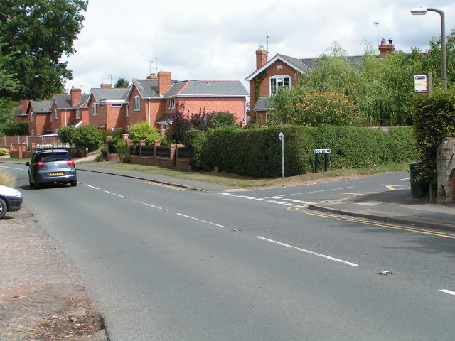
Brook End
Settlement in Worcestershire Malvern Hills
England
Brook End

Brook End is a small village located in Worcestershire, England. Situated approximately 10 miles southwest of Worcester, it is nestled in the beautiful countryside of the county. The village is primarily residential, with a population of around 500 inhabitants.
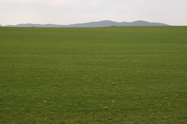
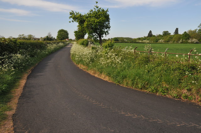
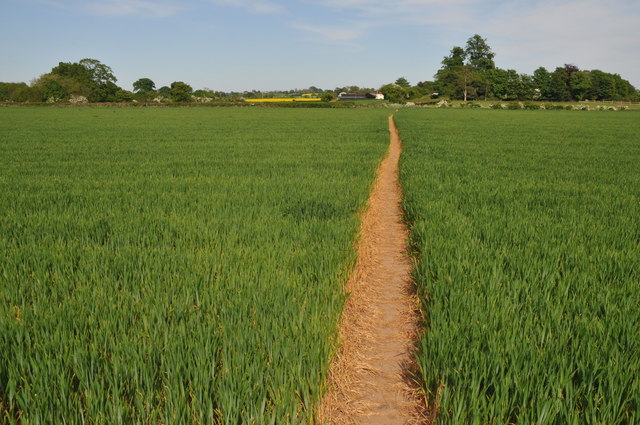
One of the defining features of Brook End is its picturesque surroundings. The village is surrounded by lush green fields, rolling hills, and dense woodland, offering residents and visitors alike the opportunity to explore and enjoy nature. The nearby River Severn adds to the charm of the area, providing a peaceful backdrop for leisurely walks and fishing.
Despite its small size, Brook End boasts a strong sense of community. The village has a local primary school, which serves the needs of the children in the area. Additionally, there is a village hall that hosts various community events, such as social gatherings, classes, and meetings.
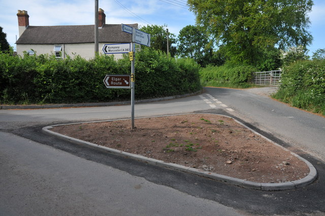
Transportation to and from Brook End is convenient, with regular bus services connecting the village to Worcester and other nearby towns. The village is also easily accessible by car, with the A44 road passing close by.
Overall, Brook End offers a tranquil and idyllic setting for those seeking a peaceful rural lifestyle. Its natural beauty and close-knit community make it an attractive place to live for residents who value a sense of belonging and the great outdoors.
If you have any feedback on the listing, please let us know in the comments section below.
Brook End Images
Images are sourced within 2km of 52.147156/-2.214799 or Grid Reference SO8549. Thanks to Geograph Open Source API. All images are credited.


Brook End is located at Grid Ref: SO8549 (Lat: 52.147156, Lng: -2.214799)
Administrative County: Worcestershire
District: Malvern Hills
Police Authority: West Mercia
What 3 Words
///pounding.agreeing.homelands. Near Kempsey, Worcestershire
Nearby Locations
Related Wikis
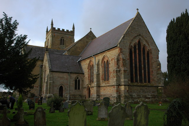
Kempsey, Worcestershire
Kempsey is a village and civil parish in the Malvern Hills District in the county of Worcestershire, England. It is bounded by the River Severn on the...

Draycott, Worcestershire
Draycott is a hamlet in the English county of Worcestershire. It is located on the A38 road due south of the city of Worcester. It forms part of the civil...

Callow End
Callow End is a constituent village of the civil parish of Powick in the Malvern Hills District of Worcestershire, England. It is located on the B4424...

Hatfield, Worcestershire
Hatfield is a small hamlet in the district of Wychavon near the city of Worcester, in England. It is surrounded by the villages of Littleworth, Norton...
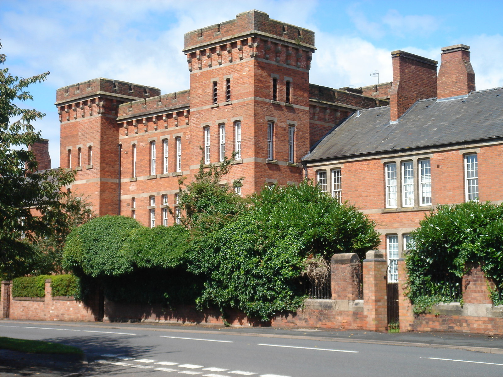
Norton Barracks
Norton Barracks is a military installation in Norton, Worcestershire. The keep is a Grade II listed building. == History == The barracks were built in...

Norton, Worcestershire
Norton is a village in the Wychavon district of Worcestershire, 0.8 miles (1.3 km) from the boundary of the City of Worcester, England. The village sits...

St Peter the Great, Worcester
St Peter's is a suburb in the civil parish of St. Peters, in the city of Worcester, in the county of Worcestershire, England. It lies south of the city...

Powick
Powick is a village and civil parish in the Malvern Hills district of Worcestershire, England, located two miles south of the city of Worcester and four...
Nearby Amenities
Located within 500m of 52.147156,-2.214799Have you been to Brook End?
Leave your review of Brook End below (or comments, questions and feedback).