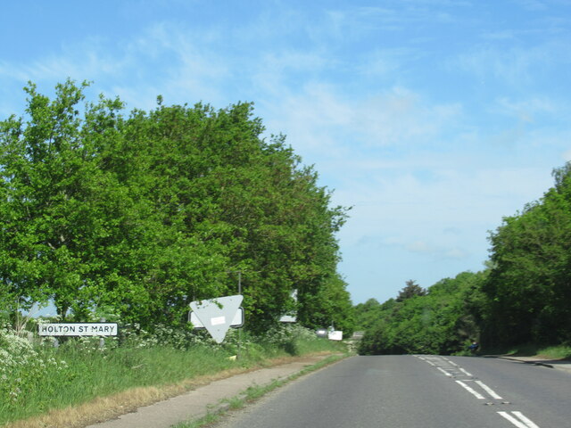
Holton St. Mary

Civil Parish in Suffolk Babergh

England

Holton St. Mary

Holton St Mary village sign on B1070
Holton St Mary village sign on B1070 Credit: Roy Hughes

Holton St. Mary is a civil parish located in the county of Suffolk, England. It is situated in the Babergh district, approximately 3 miles southwest of the town of Ipswich. The parish covers an area of about 6 square miles and has a population of around 400 residents.

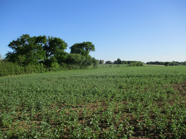
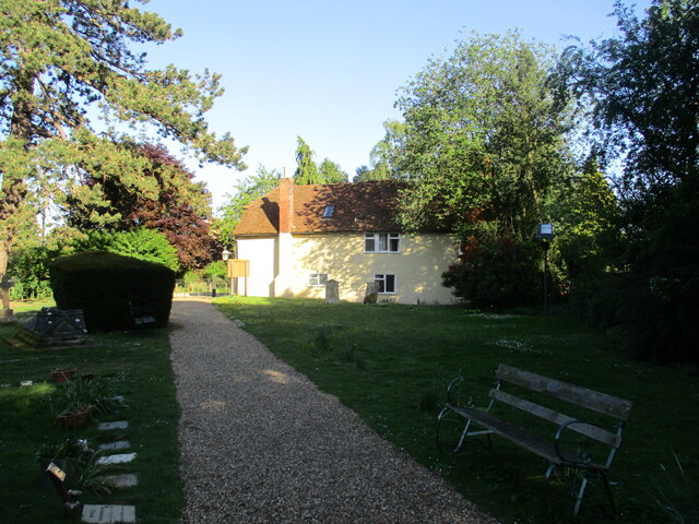
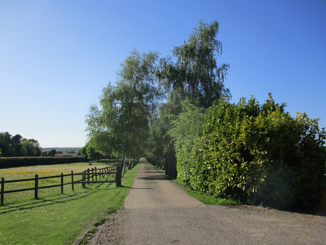
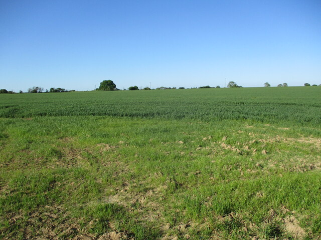
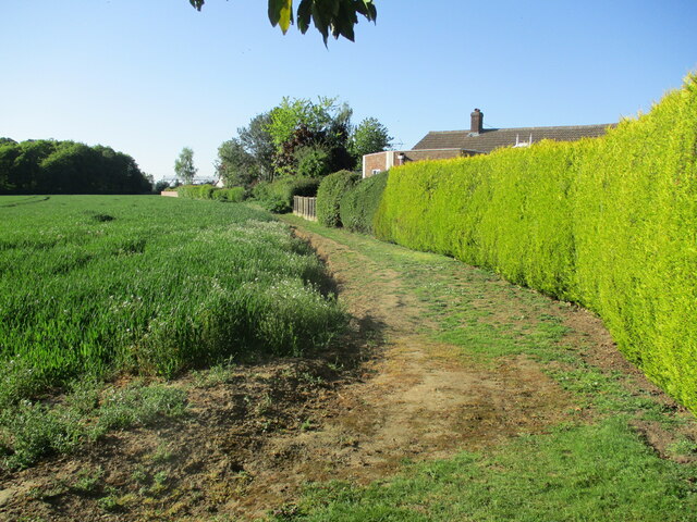
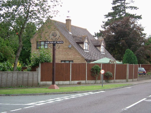
The village of Holton St. Mary is known for its picturesque rural setting and charming character. It is surrounded by rolling countryside, with fields and woodlands providing a scenic backdrop. The village itself consists of a mix of quaint cottages, farmhouses, and modern homes, creating a diverse architectural landscape.

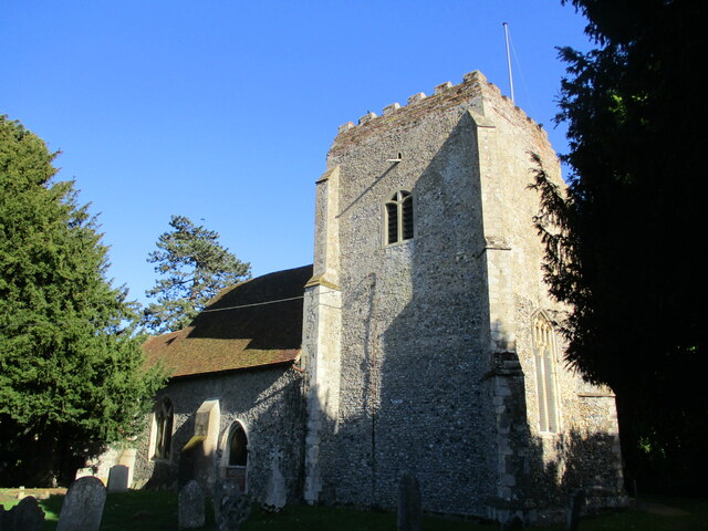
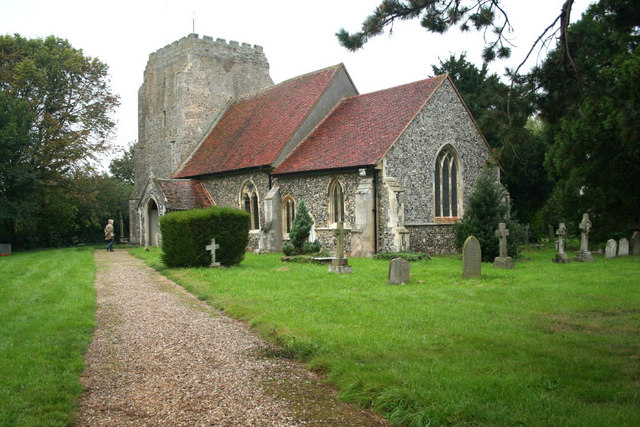
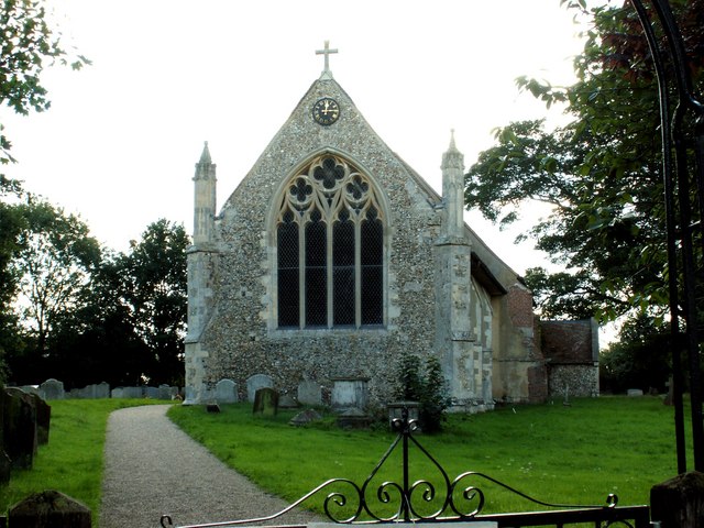
One notable feature of Holton St. Mary is its historic parish church, St. Mary's Church. This Grade I listed building dates back to the 14th century and showcases beautiful medieval architecture. The church is still in use today and holds regular services, as well as hosting various community events.

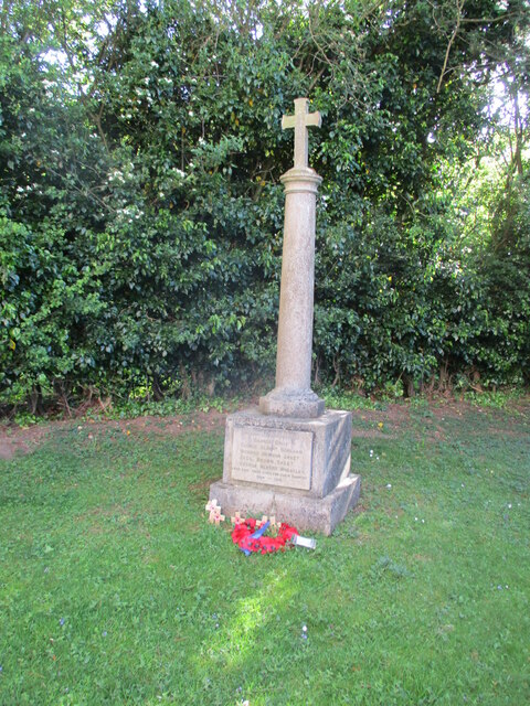
The parish also benefits from a strong sense of community spirit, with several local organizations and clubs bringing residents together. These include a village hall, which acts as a hub for social gatherings and events. Additionally, there is a primary school within the parish, providing education to the local children.

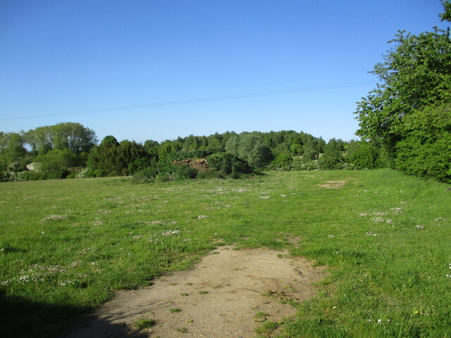
The surrounding countryside offers plenty of opportunities for outdoor activities, such as walking, cycling, and horse riding. There are also several nature reserves and wildlife areas nearby, allowing residents to enjoy the natural beauty of the area.

Overall, Holton St. Mary is a picturesque and close-knit community that offers a peaceful and idyllic lifestyle for its residents.

If you have any feedback on the listing, please let us know in the comments section below.

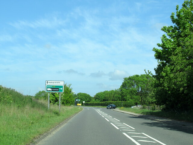
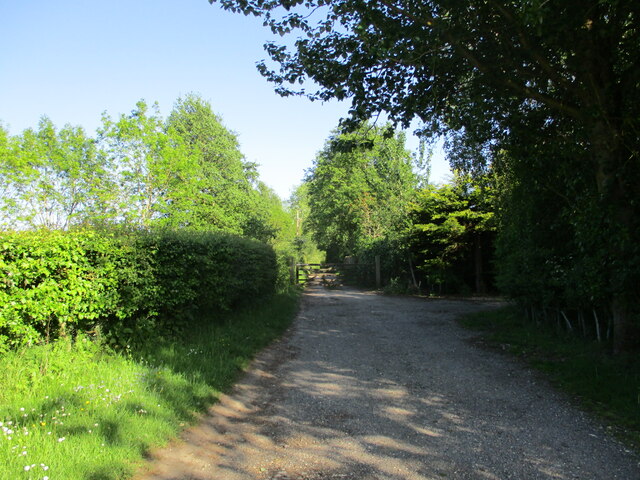
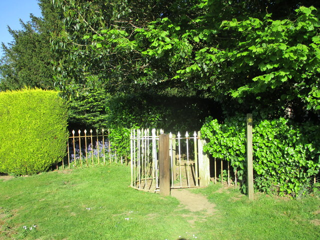
Holton St. Mary Images

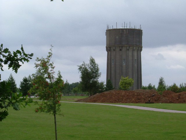
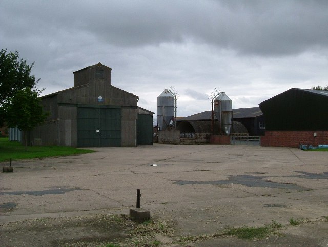
Images are sourced within 2km of 51.992755/0.992821 or Grid Reference TM0536. Thanks to Geograph Open Source API. All images are credited.

Holton St Mary village sign on B1070
B1070 at junction for A12 north
The beginning of a footpath to Holton St. Mary
Bean field near Holton St. Mary
Gate into the churchyard, Holton St. Mary
The churchyard, Holton St. Mary
Roadway near Sulley's Manor Farm
Grass field near Sulley's Manor Farm
Field of wheat near Holton St. Mary
War Memorial, Holton St. Mary At some stage in its history memorial has lost an ornamental lamp. This has been replaced by a cross <span class="nowrap"><a title="https://historicengland.org.uk/listing/the-list/list-entry/1465009?section=official-list-entry" rel="nofollow ugc noopener" href="https://historicengland.org.uk/listing/the-list/list-entry/1465009?section=official-list-entry">Link</a><img style="margin-left:2px;" alt="External link" title="External link - shift click to open in new window" src="https://s1.geograph.org.uk/img/external.png" width="10" height="10"/></span>
War Memorial, Holton St. Mary
At some stage in its history memorial has lost an ornamental lamp. This has been replaced by a cross LinkExternal link
Field edge, Holton St. Mary Not a public footpath but seems to be well used as such.
Field edge, Holton St. Mary
Not a public footpath but seems to be well used as such.
The parish church, Holton St. Mary Grade II* listed <span class="nowrap"><a title="https://historicengland.org.uk/listing/the-list/list-entry/1351596?section=official-list-entry" rel="nofollow ugc noopener" href="https://historicengland.org.uk/listing/the-list/list-entry/1351596?section=official-list-entry">Link</a><img style="margin-left:2px;" alt="External link" title="External link - shift click to open in new window" src="https://s1.geograph.org.uk/img/external.png" width="10" height="10"/></span>
The parish church, Holton St. Mary
Grade II* listed LinkExternal link
Layby on the A12, East Bergholt
The A12, East Bergholt
Raydon Water Tower This water tower stands in the middle of Bett Vale Golf Club. Located on the minor road that heads in a southerly direction from the B1070 in Raydon.
Raydon Water Tower
This water tower stands in the middle of Bett Vale Golf Club. Located on the minor road that heads in a southerly direction from the B1070 in Raydon.
Raydon Hall Farm This workman like looking farm stands on the edge of the old Raydon Aerodrome it has the advantage that many of its farm tracks are concrete taxiways.  Clearly the yard was once an aircraft dispersal.
Raydon Hall Farm
This workman like looking farm stands on the edge of the old Raydon Aerodrome it has the advantage that many of its farm tracks are concrete taxiways. Clearly the yard was once an aircraft dispersal.
Holton's Sign The village sign in Holton St Mary. In the background a modern house in vernacular style
Holton's Sign
The village sign in Holton St Mary. In the background a modern house in vernacular style
St. John's church, Great Wenham, Suffolk This mainly 14th century church has a fine tower with nice flushwork decoration.
St. John's church, Great Wenham, Suffolk
This mainly 14th century church has a fine tower with nice flushwork decoration.
Show me another place!

Holton St. Mary is located at Grid Ref: TM0536 (Lat: 51.992755, Lng: 0.992821)

Administrative County: Suffolk

District: Babergh

Police Authority: Suffolk

What 3 Words

///clotting.approach.foods. Near East Bergholt, Suffolk

Nearby Locations

Holton St. Mary

Related Wikis

Holton St Mary

Holton St Mary is a village and civil parish in Suffolk, England. Located on the B1070 around five miles south-west of Ipswich and half a mile from the...

Raydon

Raydon is a village and civil parish in Suffolk, England. Located around two miles south-east of Hadleigh, it is part of Babergh district. The parish also...

Wenham Magna

Wenham Magna, also known as Great Wenham, is a village and a civil parish in the Babergh district of Suffolk in eastern England. The parish also contains...

East Bergholt

East Bergholt is a village in the Babergh District of Suffolk, England, just north of the Essex border. The nearest town and railway station is Manningtree...

Nearby Amenities

Located within 500m of 51.992755,0.992821
Bus Stop
Telephone Box
Local Ref: adj
Naptan AtcoCode: 390010122
Naptan Bearing: NW
Naptan CommonName: Telephone Box
Naptan Landmark: Telephone Box
Naptan NaptanCode: sufadjmg
Naptan Street: B1070
Naptan Verified: no
Public Transport: platform
Source: naptan_import
Lat/Long: 51.9912696/0.9987501
Bus Stop
Telephone Box
Local Ref: opp
Naptan AtcoCode: 390010123
Naptan Bearing: SE
Naptan BusStopType: CUS
Naptan CommonName: Telephone Box
Naptan Landmark: Telephone Box
Naptan NaptanCode: sufadjmj
Naptan Street: B1070
Naptan Verified: no
Public Transport: platform
Source: naptan_import
Lat/Long: 51.9912936/0.9988683
Bus Stop
Holton Place
Naptan AtcoCode: 390010363
Naptan Bearing: W
Naptan BusStopType: CUS
Naptan CommonName: Holton Place
Naptan Indicator: adj
Naptan Landmark: Holton Place
Naptan NaptanCode: sufagajt
Naptan Street: Bacons Green
Naptan Verified: no
Source: naptan_import
Lat/Long: 51.9961069/0.9897564
Bus Stop
Holton Place
Naptan AtcoCode: 390010364
Naptan Bearing: SE
Naptan BusStopType: CUS
Naptan CommonName: Holton Place
Naptan Indicator: opp
Naptan Landmark: Holton Place
Naptan NaptanCode: sufagajw
Naptan Street: Bacons Green
Naptan Verified: no
Source: naptan_import
Lat/Long: 51.9964385/0.9890937
Booth: K6
Covered: booth
Disused Amenity: telephone
Information: yes
Man Made: telephone_box
Tourism: information
Lat/Long: 51.9912664/0.9986692
Post Box
Post Box Type: lamp
Royal Cypher: EIIR
Royal Cypher Wikidata: Q33102113
Lat/Long: 51.9912788/0.9986518
Bench
Lat/Long: 51.9912236/0.9986652
Defibrillator
Defibrillator Location: on right hand side of front wall of village hall
Emergency: defibrillator
Lat/Long: 51.9921498/0.9977189
The data included in this document is from www.openstreetmap.org. The data is made available under ODbL.

Have you been to Holton St. Mary?

Leave your review of Holton St. Mary below (or comments, questions and feedback).