Holt

Civil Parish in Dorset East Dorset

England

Holt

Ford at Broom Hill This dry ford is the first of two fords at Broom Hill.
Ford at Broom Hill Credit: John Walton

Holt is a civil parish located in the county of Dorset, England. It is situated in the district of East Dorset, approximately 5 miles north of Wimborne Minster and 10 miles west of the county town of Bournemouth. The parish covers an area of around 6 square miles and has a population of approximately 1,600 people.

Holt is a predominantly residential area with a mix of housing styles, ranging from period cottages to modern developments. The village itself is centered around Holt Square, a quaint market square that dates back to the 18th century. The square is home to a number of amenities, including a village shop, a post office, and a local pub.

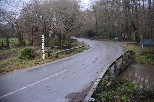
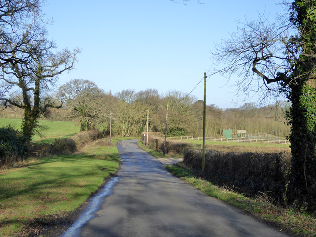
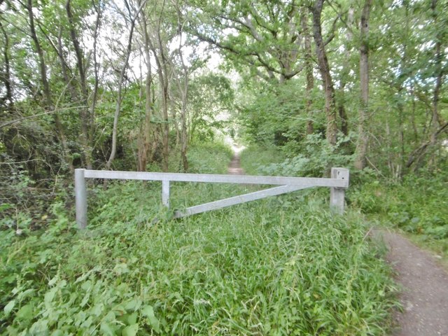
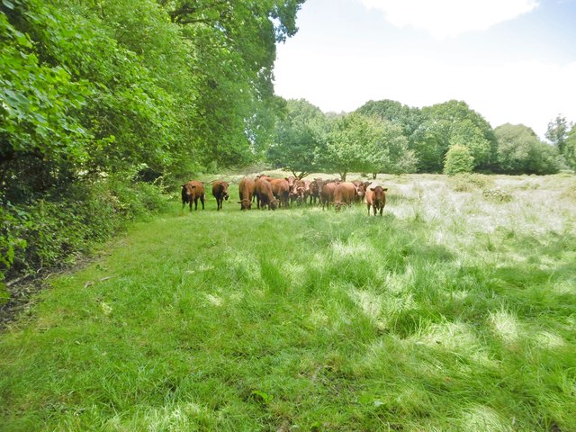
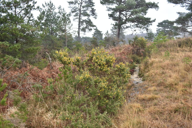
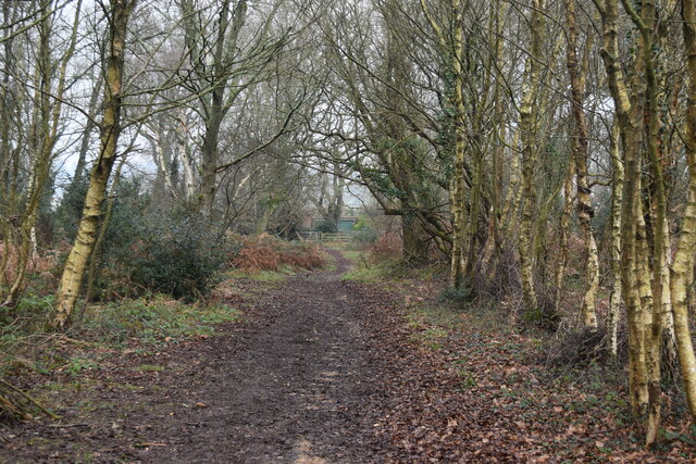
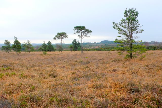
The parish is surrounded by beautiful countryside, with rolling hills, meadows, and woodlands. Holt Heath, a designated Site of Special Scientific Interest, is located to the east of the village. This heathland is a haven for wildlife, including rare bird species and reptiles.

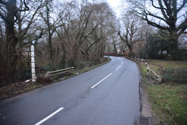
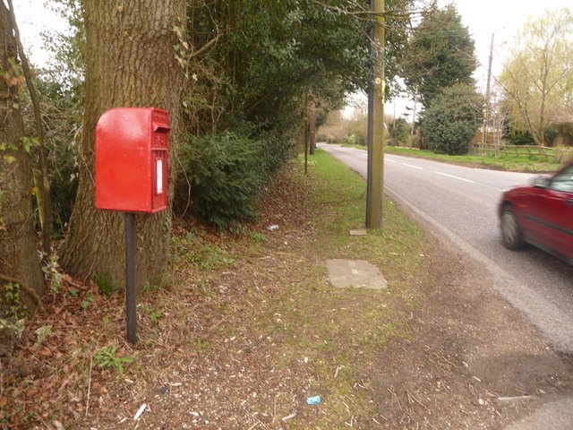
Holt is well-connected to the wider region by road, with the A31 passing nearby, providing easy access to Bournemouth, Poole, and Ringwood. The village is also served by regular bus services, connecting it to neighboring towns and villages.

Overall, Holt offers a peaceful and picturesque setting, with a close-knit community and easy access to both rural and urban amenities. It is a popular destination for those seeking a quieter, countryside lifestyle while still being within reach of larger towns and cities.

If you have any feedback on the listing, please let us know in the comments section below.
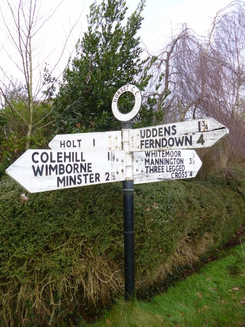
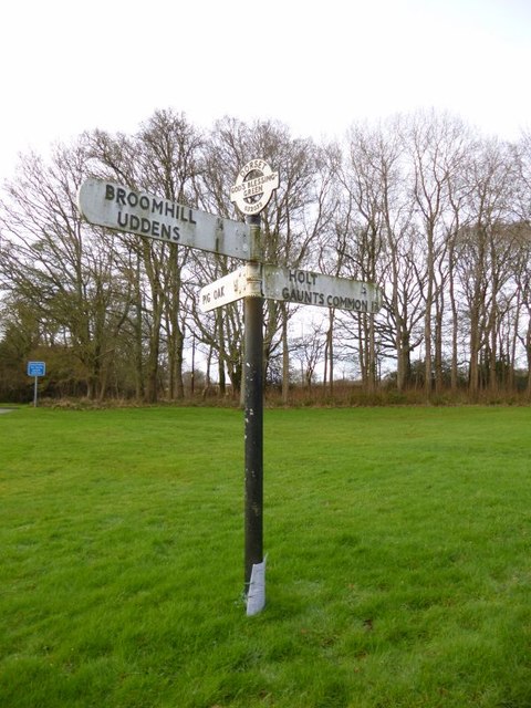
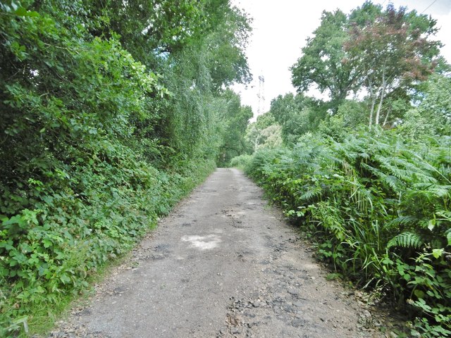
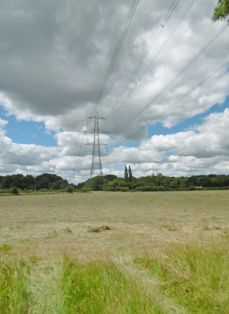
Holt Images

Images are sourced within 2km of 50.83727/-1.942765 or Grid Reference SU0404. Thanks to Geograph Open Source API. All images are credited.

Ford at Broom Hill This dry ford is the first of two fords at Broom Hill.
Ford at Broom Hill
This dry ford is the first of two fords at Broom Hill.
Ford at Broom Hill This is the second of the two Broom Hill fords.
Ford at Broom Hill
This is the second of the two Broom Hill fords.
Lodge Road Heading towards Gaunt's Common.
Lodge Road
Heading towards Gaunt's Common.
Old Direction Sign - Signpost in Holt, East Dorset Annulus & bar finial - 3 arms; Dorset halo with NGR by the UC road, in parish of Holt (East Dorset District), Holt, North corner of village green opposite village hall. Holt Lane junction with Hart's Lane.

Surveyed

Milestone Society National ID: DO_SU0203.
Old Direction Sign - Signpost in Holt, East Dorset
Annulus & bar finial - 3 arms; Dorset halo with NGR by the UC road, in parish of Holt (East Dorset District), Holt, North corner of village green opposite village hall. Holt Lane junction with Hart's Lane. Surveyed Milestone Society National ID: DO_SU0203.
Old Direction Sign - Signpost by Broom Hill, Holt Parish Annulus finial - 4 arms; Dorset halo without NGR by the UC road, in parish of Holt (East Dorset District), Broom Hill, junction of Colehill, Hart's and Pilford Lanes, on narrow verge.

Surveyed

Milestone Society National ID: DO_SU0302.
Old Direction Sign - Signpost by Broom Hill, Holt Parish
Annulus finial - 4 arms; Dorset halo without NGR by the UC road, in parish of Holt (East Dorset District), Broom Hill, junction of Colehill, Hart's and Pilford Lanes, on narrow verge. Surveyed Milestone Society National ID: DO_SU0302.
Old Direction Sign - Signpost by Hart's Lane, God's Blessing Green Annulus and bar finial - 3 arms; Dorset halo with NGR by the UC road, in parish of Holt (East Dorset District), God's Blessing Green, junction of UC road to Pig Oak, on green opposite garden centre.

Surveyed

Milestone Society National ID: DO_SU0303
Old Direction Sign - Signpost by Hart's Lane, God's Blessing Green
Annulus and bar finial - 3 arms; Dorset halo with NGR by the UC road, in parish of Holt (East Dorset District), God's Blessing Green, junction of UC road to Pig Oak, on green opposite garden centre. Surveyed Milestone Society National ID: DO_SU0303
Holt, bridleway Bridleway and farm road, from Higher Row to Ferndown Forest.
Holt, bridleway
Bridleway and farm road, from Higher Row to Ferndown Forest.
Holt, power lines Heading across farmland towards Chickerell.
Holt, power lines
Heading across farmland towards Chickerell.
Holt, gateway On the bridleway towards Ferndown Forest; also marking the beginning of National Trust land.
Holt, gateway
On the bridleway towards Ferndown Forest; also marking the beginning of National Trust land.
Holt Forest National Trust woodland - broad-leaved, with oak, holly and some beech.
Holt Forest
National Trust woodland - broad-leaved, with oak, holly and some beech.
Holt Forest, footpath Following the boundary of National Trust woodland, towards Lower Row.
Holt Forest, footpath
Following the boundary of National Trust woodland, towards Lower Row.
Holt, cattle grazing Inquisitive bullocks in a field next to Holt Forest.
Holt, cattle grazing
Inquisitive bullocks in a field next to Holt Forest.
Small path on Holt Heath The walked path and marked right of way diverge slightly on the edge of a small valley.
Small path on Holt Heath
The walked path and marked right of way diverge slightly on the edge of a small valley.
Path south of Crooked Withies Farm The path follows the edge of the heath.
Path south of Crooked Withies Farm
The path follows the edge of the heath.
Path towards Crooked Withies Farm There is a clearly marked four-way path junction on the heath at the south west corner of the enclosed farmland.
Path towards Crooked Withies Farm
There is a clearly marked four-way path junction on the heath at the south west corner of the enclosed farmland.
Path towards Paradise Farmhouse
Small pond south of Paradise Farmhouse
Disused pit near Lower Row
Show me another place!

Holt is located at Grid Ref: SU0404 (Lat: 50.83727, Lng: -1.942765)

Administrative County: Dorset

District: East Dorset

Police Authority: Dorset

What 3 Words

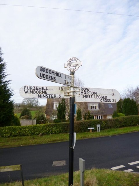
///arts.informer.husky. Near Three Legged Cross, Dorset

Related Wikis

Holt, Dorset

Holt is a village in east Dorset, England, 2 miles (3.2 km) north of Wimborne Minster. The village had a population of 1,265 in 2001. The electoral ward...

Holt Heath, Dorset

Holt Heath is a 4.88 square kilometres (1.88 sq mi) common situated four miles north-east of Wimborne Minster in east Dorset, southern England, close to...

Mannington, Dorset

Mannington and its southerly neighbour Lower Mannington are hamlets in the English county of Dorset. They are located within Holt parish 2.5 miles (4 km...

Horton Heath, Dorset

Horton Heath is a small village in Dorset, England situated one mile from Three Legged Cross and two miles from Horton. It consists of a main road, with...

Hinton Martell

Hinton Martell (also known as Hinton Martel) is a village and former civil parish, now in the civil parish of Hinton, in the county of Dorset in southern...

Horton Priory

Horton Priory was a priory at Horton in Dorset, England. It was founded as a Benedictine abbey around 970 by Ordgar, Earl of Devon, or his son, Ordulph...

Horton, Dorset

Horton is a village in East Dorset, England, situated on the boundary between the chalk downland of Cranborne Chase and the Dorset Heaths, and ten miles...

All Saints' Church, Chalbury

All Saints' Church is a Church of England church in Chalbury, Dorset, England. It has 13th-century origins, with later alterations and additions, and many...

Nearby Amenities

Located within 500m of 50.83727,-1.942765
The data included in this document is from www.openstreetmap.org. The data is made available under ODbL.

Have you been to Holt?

Leave your review of Holt below (or comments, questions and feedback).