Holbeach
Civil Parish in Lincolnshire South Holland
England
Holbeach
Holbeach is a civil parish located in the district of South Holland, Lincolnshire, England. It is situated approximately 11 miles east of Spalding and about 15 miles north of King's Lynn. The parish covers an area of around 1,700 hectares and has a population of around 7,000 people.
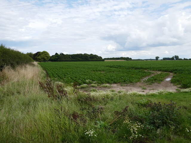
Holbeach is historically known for its agricultural roots, with farming being a major industry in the area. The fertile soils and flat landscape make it ideal for crop cultivation, particularly vegetables and flowers. Many farms in the parish produce potatoes, brassicas, and tulips, contributing to the local economy.
The town of Holbeach itself is a traditional market town with a mix of architectural styles, ranging from medieval to modern. It features several historic buildings, including the All Saints' Church, which dates back to the 14th century and showcases beautiful stained glass windows. The town is also home to the Holbeach Campus of the University of Lincoln, offering a range of courses in agriculture and horticulture.
Holbeach has a vibrant community with a variety of amenities and services. It has primary and secondary schools, a library, medical facilities, and a leisure center. The town hosts regular events, such as the Holbeach Music and Beer Festival, which attracts visitors from the surrounding areas.
Overall, Holbeach is a picturesque parish with a rich agricultural heritage, a close-knit community, and a range of amenities for its residents and visitors to enjoy.
If you have any feedback on the listing, please let us know in the comments section below.
Holbeach Images
Images are sourced within 2km of 52.856938/0.065365 or Grid Reference TF3930. Thanks to Geograph Open Source API. All images are credited.


Holbeach is located at Grid Ref: TF3930 (Lat: 52.856938, Lng: 0.065365)
Administrative County: Lincolnshire
District: South Holland
Police Authority: Lincolnshire
What 3 Words
///novels.shirtless.grades. Near Holbeach, Lincolnshire
Nearby Locations
Related Wikis
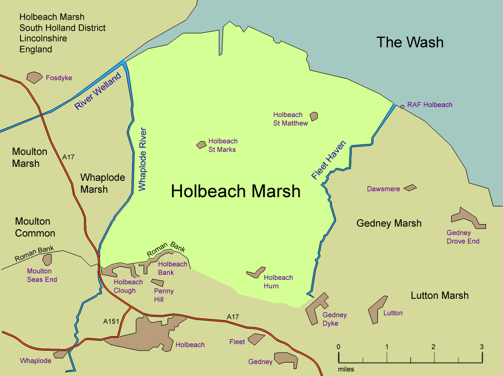
Holbeach Marsh
Holbeach Marsh is a fenland area in the South Holland district of Lincolnshire, England. Holbeach Marsh is situated between the market town of Holbeach...

Holbeach St Marks
Holbeach St Marks is a fenland village in the South Holland district of southern Lincolnshire, England. It is 5 miles (8 km) north from Holbeach, 3 miles...

Holbeach St Matthew
Holbeach St Matthew is a small fenland village in the South Holland district of southern Lincolnshire, England. It lies 6 miles (10 km) north-east from...

Holbeach Hurn
Holbeach Hurn is a small fenland village in the civil parish of Holbeach in the South Holland district of southern Lincolnshire, England. It is 2.5 miles...

Holbeach Bank
Holbeach Bank is a fenland village in the South Holland district of Lincolnshire, England. It is just under 2 miles (3 km) north from the market town of...
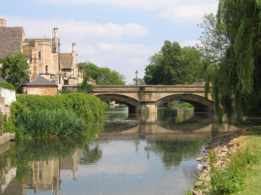
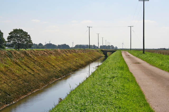
River Welland
The River Welland is a lowland river in the east of England, some 65 miles (105 km) long. It drains part of the Midlands eastwards to The Wash. The river...

Gedney Dyke
Gedney Dyke is a village in the civil parish of Gedney and the South Holland district of Lincolnshire, England. It is 40 miles (64 km) south-east from...

Fleet Hargate
Fleet Hargate is a village in the South Holland district of Lincolnshire, England. It is situated 2 miles (3.2 km) east from Holbeach, and just south from...
Have you been to Holbeach?
Leave your review of Holbeach below (or comments, questions and feedback).