Hipswell
Civil Parish in Yorkshire Richmondshire
England
Hipswell
Hipswell is a civil parish located in the Richmondshire district of Yorkshire, England. Situated about 2 miles south of Catterick and 5 miles north of Richmond, the parish covers an area of approximately 5 square miles. The village of Hipswell itself is small, with a population of around 500 people.
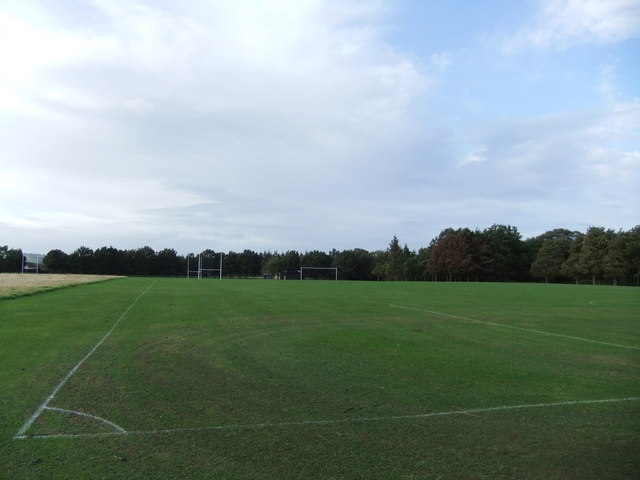
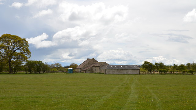
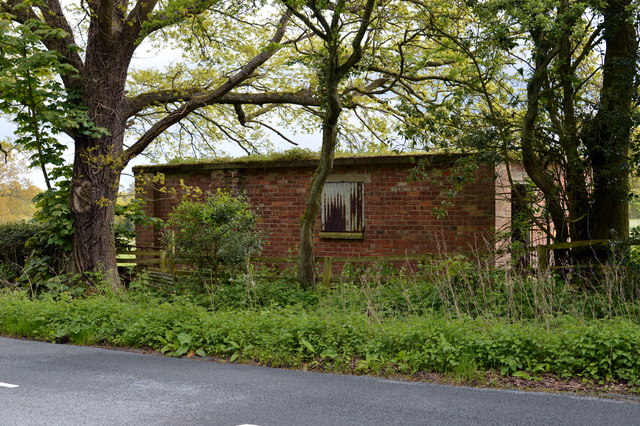
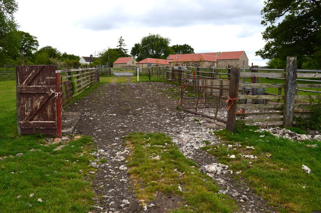
The parish is mainly rural, characterized by rolling countryside and farmland. It is surrounded by picturesque landscapes, including the Yorkshire Dales to the west and the North York Moors to the east. The River Swale flows nearby, offering opportunities for fishing and leisurely walks along its banks.
Hipswell has a rich history, with evidence of human habitation dating back to Roman times. The area was once part of the Swaledale hunting forest, and later became an important center for agriculture and the wool trade. The parish church, St. John the Evangelist, is a notable landmark, dating back to the 12th century.
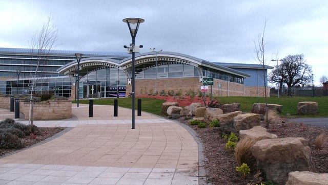
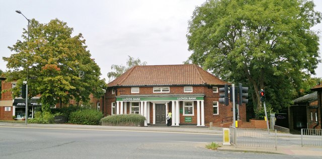
In terms of amenities, Hipswell has a primary school, a village hall, and a local pub. The nearby town of Richmond provides additional services, including shops, restaurants, and healthcare facilities. The area is well-connected by road, with the A1(M) and A6108 passing nearby, providing access to major cities such as Leeds and Newcastle.
Overall, Hipswell offers a peaceful and idyllic setting for those seeking a rural lifestyle, with its charming village, stunning countryside, and close proximity to larger towns and cities.
If you have any feedback on the listing, please let us know in the comments section below.
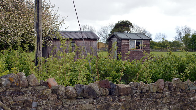
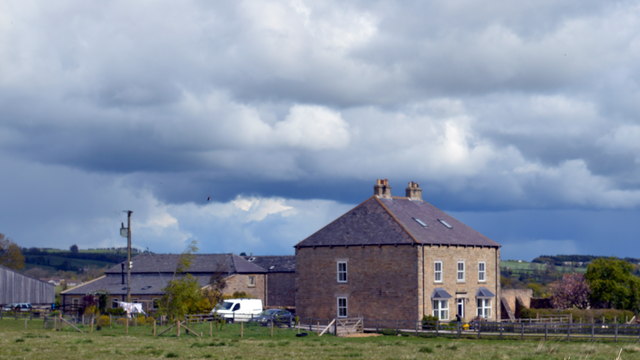
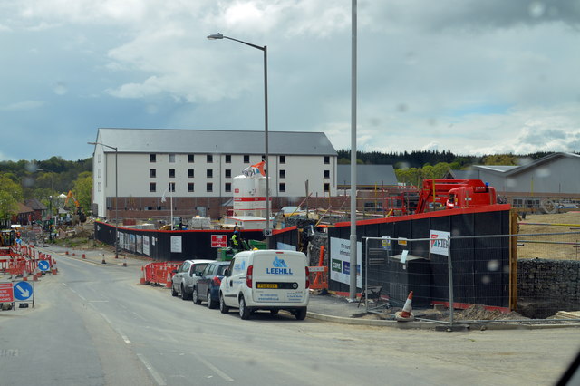
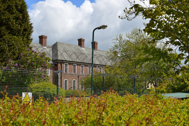
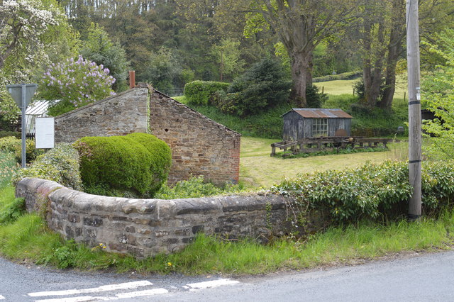
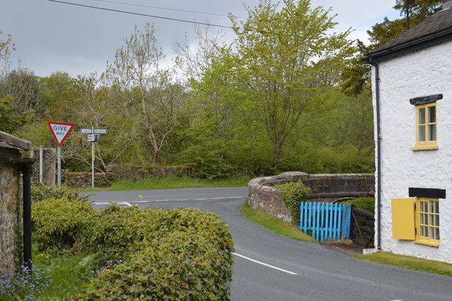
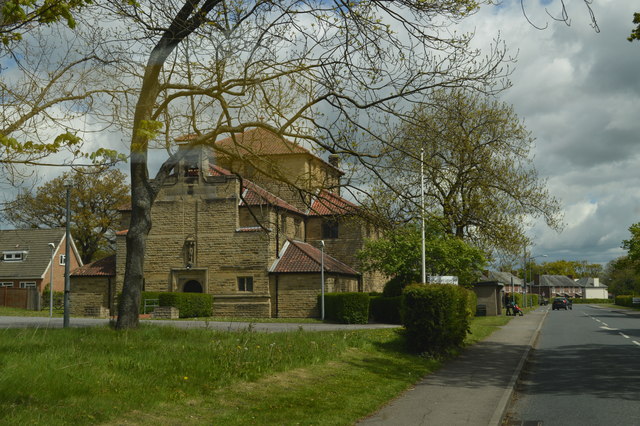
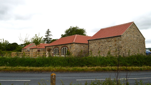
Hipswell Images
Images are sourced within 2km of 54.37865/-1.748033 or Grid Reference SE1698. Thanks to Geograph Open Source API. All images are credited.
Hipswell is located at Grid Ref: SE1698 (Lat: 54.37865, Lng: -1.748033)
Division: North Riding
Administrative County: North Yorkshire
District: Richmondshire
Police Authority: North Yorkshire
What 3 Words
///dynasties.plotting.bulky. Near Catterick Garrison, North Yorkshire
Nearby Locations
Related Wikis

Army Ground, Catterick
The Army Ground was a cricket ground in Catterick Garrison, North Yorkshire. The Garrison was established in 1914 and construction of a cricket ground...

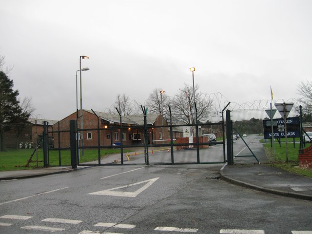
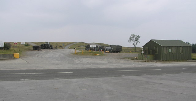
Catterick Garrison
Catterick Garrison is a major garrison and military town 3 miles (5 km) south of Richmond, North Yorkshire, England. It is the largest British Army garrison...
Garrison FM
Garrison FM was a network of radio stations in the United Kingdom serving British Army bases around the country between 2001 and 2013. The stations broadcast...
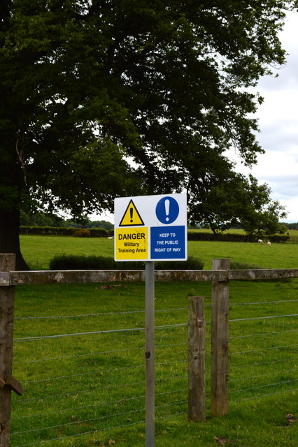
Hipswell Moor
Hipswell Moor is an area used for military training, near Catterick Garrison in North Yorkshire, England. It includes parts of the civil parishes of Barden...

Hipswell
Hipswell is a village and civil parish in the Richmondshire district of North Yorkshire, England. The civil parish mainly comprises the northern part of...
Catterick Camp railway station
Catterick Camp railway station was a railway station in what is now the Richmondshire district of North Yorkshire, England. It was built as the terminus...

A6136 road
The A6136 is a 4 digit A road in North Yorkshire, England. It runs between the A6108 Queen's Road, in the market town of Richmond, before terminating on...
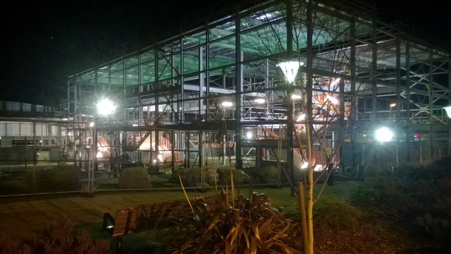
Risedale School
Risedale School (formerly Risedale Sports and Community College) is a coeducational secondary school situated in Hipswell, Catterick Garrison, North Yorkshire...
Nearby Amenities
Located within 500m of 54.37865,-1.748033Have you been to Hipswell?
Leave your review of Hipswell below (or comments, questions and feedback).