Hinton
Civil Parish in Dorset East Dorset
England
Hinton
Hinton is a civil parish located in the county of Dorset, England. It is situated in the district of East Dorset, about 5 miles northeast of the town of Wimborne Minster. The parish covers an area of around 3.5 square miles and has a population of approximately 450 people.
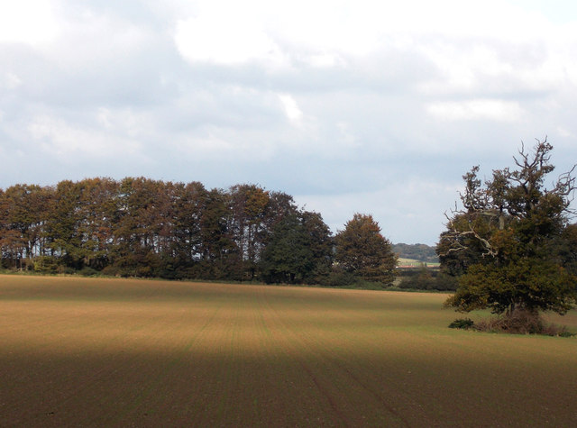
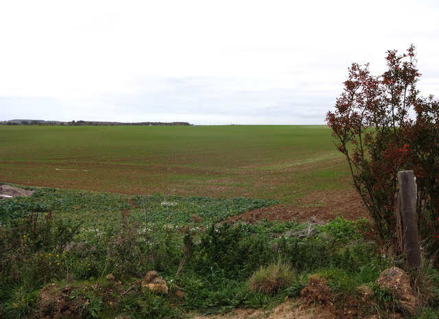
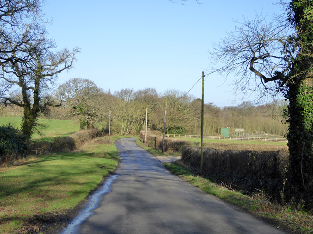
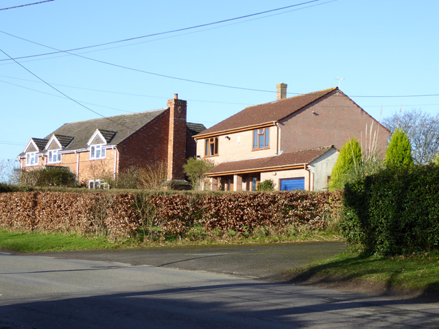
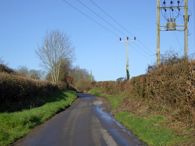
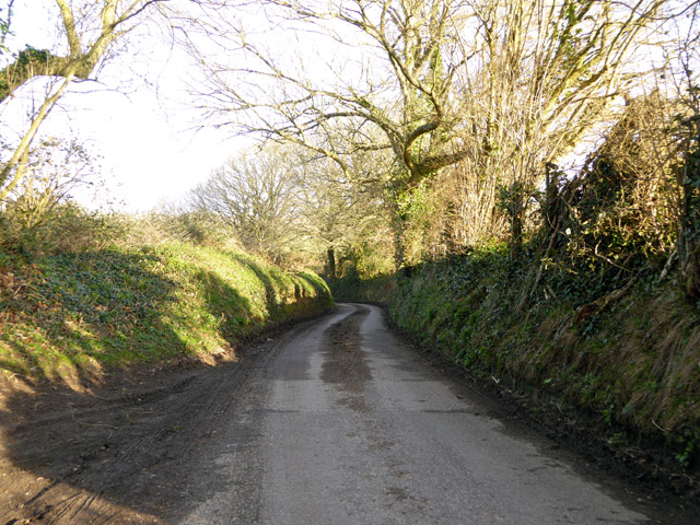
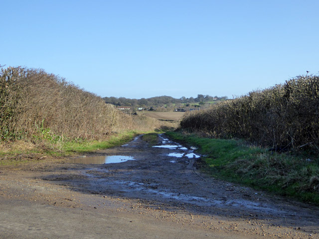
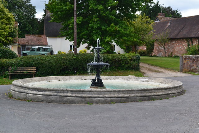
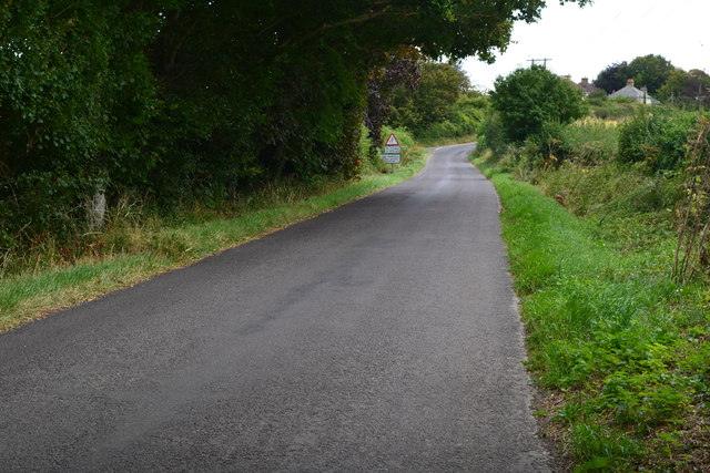
The village of Hinton is known for its picturesque countryside and rural charm. It is surrounded by rolling hills and farmland, offering stunning views of the Dorset landscape. The parish is predominantly residential, with a mix of traditional cottages and modern houses.
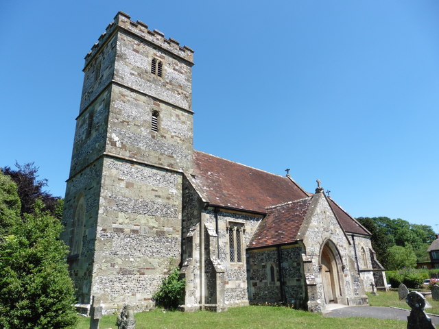
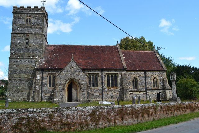
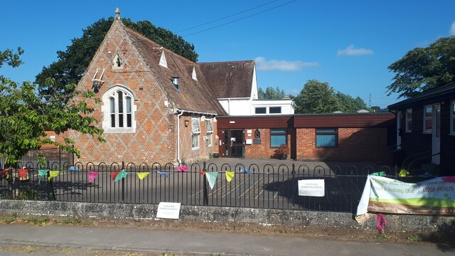
Hinton has a small but tight-knit community, with a village hall that serves as a hub for social gatherings and events. The village also has a church, St. Peter's, which dates back to the 13th century and is a historic landmark in the area.
Despite its small size, Hinton has a number of amenities to cater to the needs of its residents. There is a primary school, providing education for children in the local area. The village is also served by a post office and a local convenience store, ensuring that basic necessities are easily accessible.
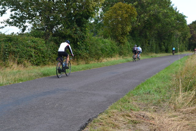
The surrounding area offers plenty of opportunities for outdoor activities, with numerous walking and cycling routes available. The nearby Badbury Rings, an Iron Age hillfort, is a popular destination for history enthusiasts and nature lovers alike.
Overall, Hinton is a tranquil and picturesque parish, offering a peaceful and idyllic lifestyle for its residents.
If you have any feedback on the listing, please let us know in the comments section below.
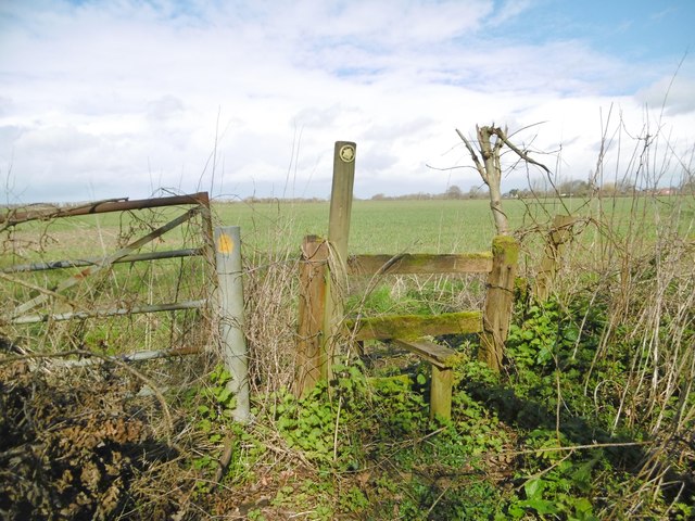
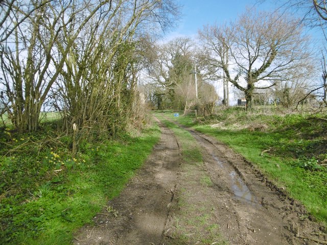
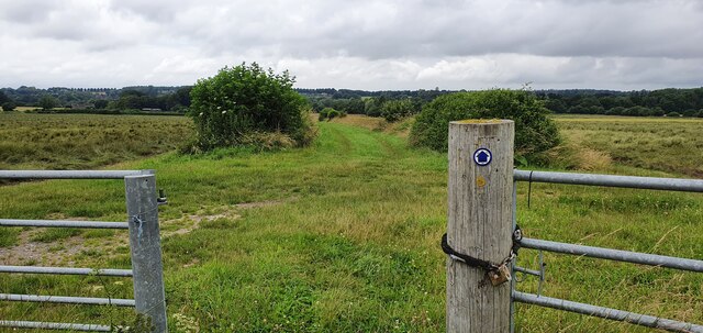
Hinton Images
Images are sourced within 2km of 50.847589/-1.992114 or Grid Reference SU0005. Thanks to Geograph Open Source API. All images are credited.


Hinton is located at Grid Ref: SU0005 (Lat: 50.847589, Lng: -1.992114)
Administrative County: Dorset
District: East Dorset
Police Authority: Dorset
What 3 Words
///smooth.access.nest. Near Wimborne Minster, Dorset
Nearby Locations
Related Wikis

Hinton Martell
Hinton Martell (also known as Hinton Martel) is a village and former civil parish, now in the civil parish of Hinton, in the county of Dorset in southern...

Hinton Parva
Hinton Parva is a hamlet and former civil parish, now in the civil parish of Hinton, in east Dorset, England, three miles north of Wimborne Minster. The...

Badbury Hundred
Badbury Hundred was a hundred in the county of Dorset, England, which took its name from the earthwork of Badbury Rings. It contained the following parishes...

Chalbury
Chalbury is a village in the English county of Dorset. It lies on the southern edge of Cranborne Chase within the East Dorset administrative district of...
Nearby Amenities
Located within 500m of 50.847589,-1.992114Have you been to Hinton?
Leave your review of Hinton below (or comments, questions and feedback).