Hillington

Civil Parish in Norfolk King's Lynn and West Norfolk

England

Hillington

Church of St. Mary, Hillington <span class="nowrap"><a title="https://historicengland.org.uk/listing/the-list/list-entry/1306957?section=official-list-entry" rel="nofollow ugc noopener" href="https://historicengland.org.uk/listing/the-list/list-entry/1306957?section=official-list-entry">Link</a><img style="margin-left:2px;" alt="External link" title="External link - shift click to open in new window" src="https://s1.geograph.org.uk/img/external.png" width="10" height="10"/></span>
Church of St. Mary, Hillington Credit: Sandy Gerrard

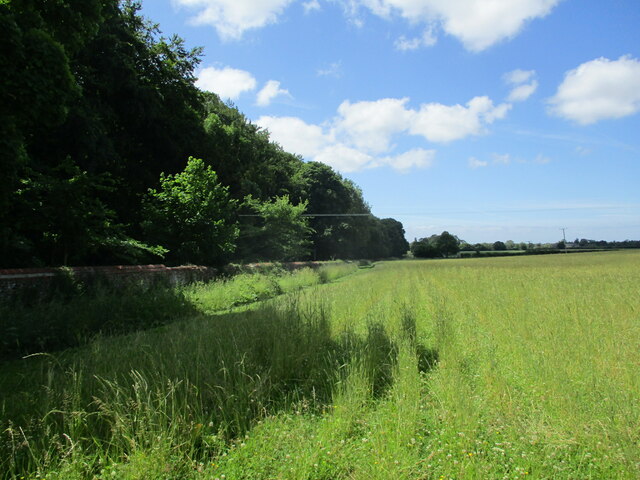
Hillington is a civil parish located in the county of Norfolk, in the East of England. It is situated approximately 3 miles south of the town of King's Lynn and covers an area of around 7 square miles. The parish is predominantly rural in nature, characterized by farmland, woodlands, and small villages.

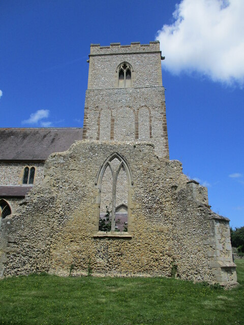
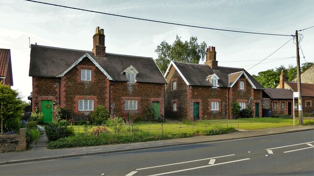
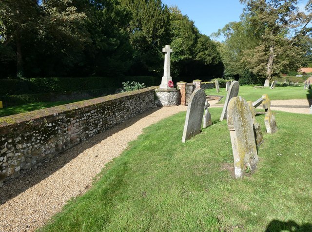
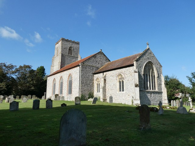
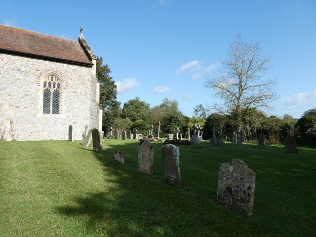
Hillington is home to a population of around 500 residents, who mainly reside in the village of Hillington itself. The village features a mix of traditional Norfolk cottages, modern homes, and amenities such as a village hall and a church.

The surrounding countryside offers opportunities for outdoor activities such as walking, cycling, and birdwatching. The area is also known for its wildlife, including various bird species and small mammals.

Hillington has a strong sense of community, with local events and activities organized throughout the year. The parish is well-connected by road, with easy access to nearby towns and cities such as King's Lynn and Norwich. Overall, Hillington offers a peaceful and picturesque setting for those looking to enjoy rural village life in Norfolk.

If you have any feedback on the listing, please let us know in the comments section below.
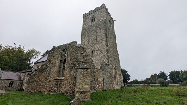
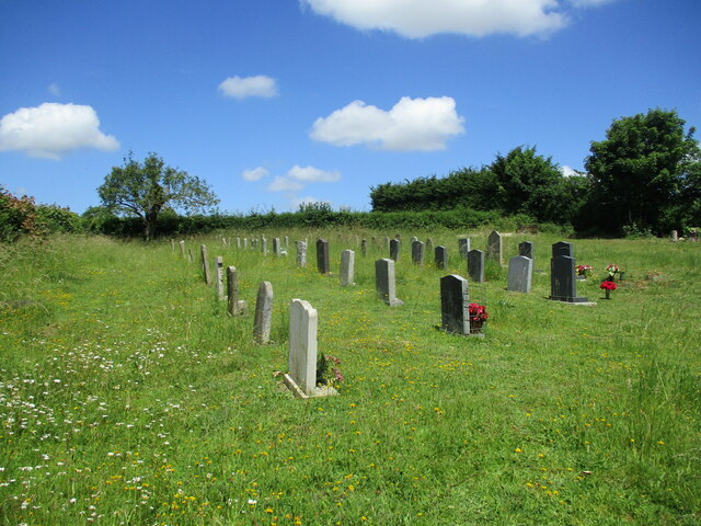
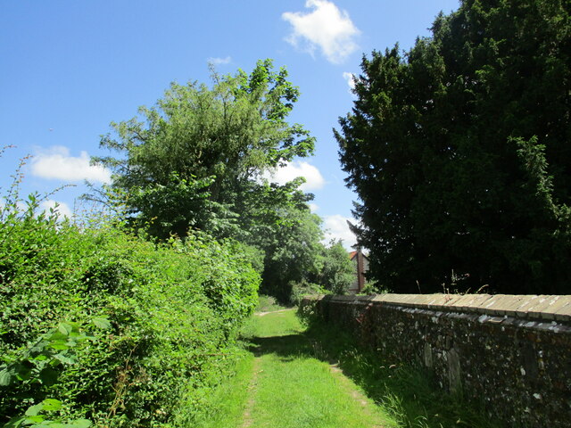
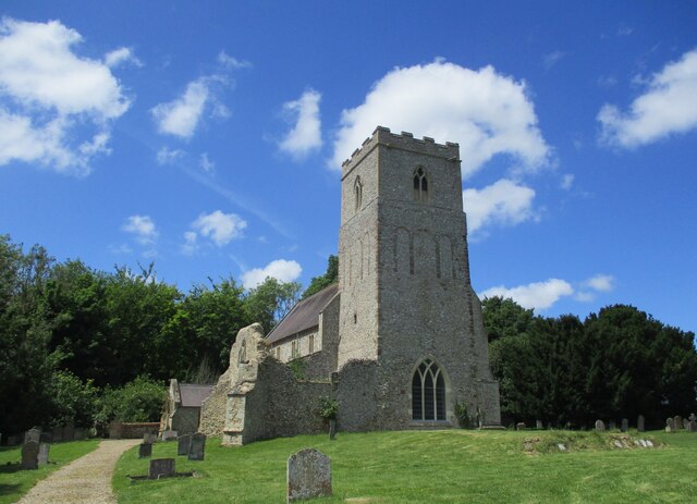
Hillington Images

Images are sourced within 2km of 52.79744/0.569073 or Grid Reference TF7325. Thanks to Geograph Open Source API. All images are credited.

Church of St. Mary, Hillington <span class="nowrap"><a title="https://historicengland.org.uk/listing/the-list/list-entry/1306957?section=official-list-entry" rel="nofollow ugc noopener" href="https://historicengland.org.uk/listing/the-list/list-entry/1306957?section=official-list-entry">Link</a><img style="margin-left:2px;" alt="External link" title="External link - shift click to open in new window" src="https://s1.geograph.org.uk/img/external.png" width="10" height="10"/></span>
Church of St. Mary, Hillington
Church of St. Mary, Flitcham <span class="nowrap"><a title="https://historicengland.org.uk/listing/the-list/list-entry/1168565?section=official-list-entry" rel="nofollow ugc noopener" href="https://historicengland.org.uk/listing/the-list/list-entry/1168565?section=official-list-entry">Link</a><img style="margin-left:2px;" alt="External link" title="External link - shift click to open in new window" src="https://s1.geograph.org.uk/img/external.png" width="10" height="10"/></span>
Church of St. Mary, Flitcham
Cemetery at Flitcham
Track by the churchyard, Flitcham
St. Mary's church, Flitcham A once much larger church dating from the eleventh century with fourteenth century additions <span class="nowrap"><a title="https://historicengland.org.uk/listing/the-list/list-entry/1168565?section=official-list-entry" rel="nofollow ugc noopener" href="https://historicengland.org.uk/listing/the-list/list-entry/1168565?section=official-list-entry">Link</a><img style="margin-left:2px;" alt="External link" title="External link - shift click to open in new window" src="https://s1.geograph.org.uk/img/external.png" width="10" height="10"/></span>
St. Mary's church, Flitcham
A once much larger church dating from the eleventh century with fourteenth century additions LinkExternal link
St. Mary's church, Flitcham Norman tower and ruined fourteenth century south transept <span class="nowrap"><a title="https://historicengland.org.uk/listing/the-list/list-entry/1168565?section=official-list-entry" rel="nofollow ugc noopener" href="https://historicengland.org.uk/listing/the-list/list-entry/1168565?section=official-list-entry">Link</a><img style="margin-left:2px;" alt="External link" title="External link - shift click to open in new window" src="https://s1.geograph.org.uk/img/external.png" width="10" height="10"/></span>
St. Mary's church, Flitcham
Norman tower and ruined fourteenth century south transept LinkExternal link
Grass field and woodland, Flitcham
11-15 Lynn Road Pairs of historic cottages on the main road
11-15 Lynn Road
Pairs of historic cottages on the main road
St Mary, Flitcham: churchyard (1)
St Mary, Hillington: churchyard (1)
St Mary, Hillington: churchyard (2)
St Mary, Hillington: churchyard (3)
St Mary, Flitcham: late September 2023
St Mary, Flitcham: graves in the churchyard
St Mary, Flitcham: south door
St Mary, Flitcham: flowers in the porch
St Mary, Flitcham: CWGC grave (I) For the service record of Private Arthur Bridges see <span class="nowrap"><a title="https://www.cwgc.org/find-records/find-war-dead/casualty-details/2802754/arthur-bridges/" rel="nofollow ugc noopener" href="https://www.cwgc.org/find-records/find-war-dead/casualty-details/2802754/arthur-bridges/">Link</a><img style="margin-left:2px;" alt="External link" title="External link - shift click to open in new window" src="https://s1.geograph.org.uk/img/external.png" width="10" height="10"/></span>
St Mary, Flitcham: CWGC grave (I)
For the service record of Private Arthur Bridges see LinkExternal link
St Mary, Flitcham: CWGC grave (II) For the service record of Private Allen Bridges see <span class="nowrap"><a title="https://www.cwgc.org/find-records/find-war-dead/casualty-details/2802753/allen-bridges/" rel="nofollow ugc noopener" href="https://www.cwgc.org/find-records/find-war-dead/casualty-details/2802753/allen-bridges/">Link</a><img style="margin-left:2px;" alt="External link" title="External link - shift click to open in new window" src="https://s1.geograph.org.uk/img/external.png" width="10" height="10"/></span>
St Mary, Flitcham: CWGC grave (II)
For the service record of Private Allen Bridges see LinkExternal link
Show me another place!

Hillington is located at Grid Ref: TF7325 (Lat: 52.79744, Lng: 0.569073)

Administrative County: Norfolk

District: King's Lynn and West Norfolk

Police Authority: Norfolk

What 3 Words

///converged.staining.applied. Near Grimston, Norfolk

Nearby Locations

Hillington

Related Wikis

Hillington railway station

Hillington railway station was a station in Hillington, Norfolk on the now closed Midland and Great Northern Joint Railway line between South Lynn and...

Hillington, Norfolk

Hillington is a village and civil parish in the English county of Norfolk. It covers an area of 10.27 km2 (3.97 sq mi) and had a population of 287 in 123...

Flitcham, Norfolk

Flitcham is a village and civil parish in the English county of Norfolk. The village is located 7.1 miles (11.4 km) north-east of King's Lynn and 33 miles...

Flitcham with Appleton

Flitcham with Appleton is a civil parish in the English county of Norfolk. It covers an area of 17.08 km2 (6.59 sq mi) and had a population of 236 in 96...

Related Videos

PROPERTY TOUR UK Simply Stunning! For Sale £535,000 Grimston, Norfolk - Longsons Estate Agents.

PROPERTY TOUR UK WOW!! Stunning Property. For Sale £535000 Grimston, Norfolk. Detached three double bedroom single ...

#SHORTS - Queen Elizabeth leaving Flitcham Church in Norfolk in January 1992

SHORTS #QueenElizabeth #royalFamily #flitchamchurch #SHORTS - Queen Elizabeth leaving Flitcham Church in Norfolk in ...

Norfolk Glamping at Happy Valley

Toad Hall Luxury Glamping in Norfolk - Hot tub Bridal suite Family glamping Connect in nature Hot tub Woodland venue Wedding ...

Nearby Amenities

Located within 500m of 52.79744,0.569073
Power: pole
Lat/Long: 52.7996512/0.5627006
Power: pole
Lat/Long: 52.794395/0.5640417
Power: pole
Lat/Long: 52.795141/0.5637279
Power: pole
Lat/Long: 52.7958644/0.5633604
Power: pole
Lat/Long: 52.7966883/0.5634168
Power: pole
Lat/Long: 52.7974343/0.5634463
Power: pole
Lat/Long: 52.7981932/0.563288
Power: pole
Lat/Long: 52.7989376/0.5629688
Glebe Barn B&B
Guest House: bed_and_breakfast
Tourism: guest_house
Lat/Long: 52.7984721/0.5661845
Communication Mobile Phone: yes
Man Made: mast
Material: metal
Operator: Three UK;EE
Tower Construction: freestanding
Tower Type: communication
Lat/Long: 52.8004904/0.5737889
The data included in this document is from www.openstreetmap.org. The data is made available under ODbL.

Have you been to Hillington?

Leave your review of Hillington below (or comments, questions and feedback).