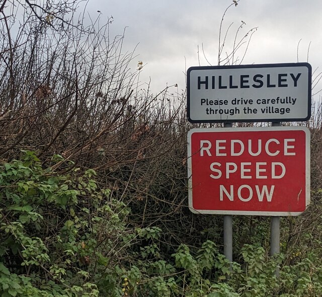
Hillesley and Tresham
Civil Parish in Gloucestershire Stroud
England
Hillesley and Tresham
Hillesley and Tresham is a civil parish located in the county of Gloucestershire, England. Situated in the South West region of the country, it covers an area of approximately 7 square miles. The parish is made up of two villages, Hillesley and Tresham, which are nestled within the picturesque Cotswold Hills.
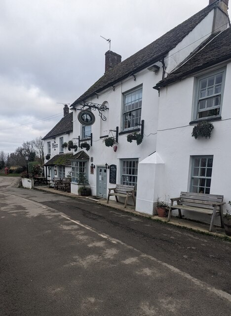
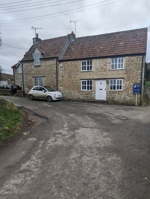
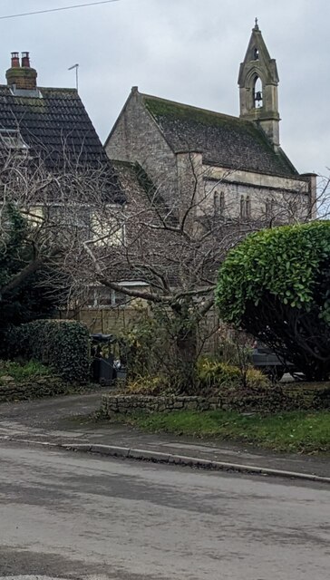
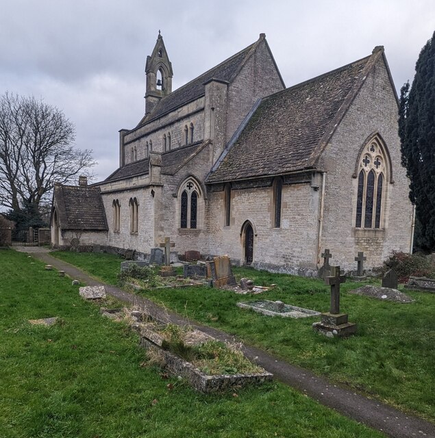
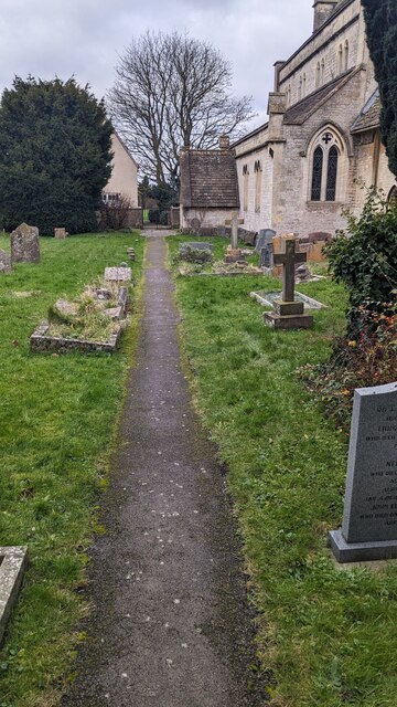
Hillesley, the larger of the two villages, is home to a population of around 400 residents. It boasts a charming rural setting with rolling countryside, quaint cottages, and traditional stone-built houses. The village is known for its historic church, St. Giles, which dates back to the 12th century. The church's medieval architecture and beautiful stained glass windows are a testament to the area's rich history.
Tresham, although smaller in size, offers its residents a peaceful and idyllic environment. Surrounded by lush green fields and woodlands, it attracts nature lovers and outdoor enthusiasts. The village is characterized by its mix of traditional and modern architecture, with historic cottages standing alongside contemporary homes.
Both villages benefit from their proximity to larger towns such as Tetbury and Stroud, which provide a range of amenities including shops, schools, and leisure facilities. The area is well-connected by road, with the A4135 running through the parish, allowing for easy access to nearby cities like Bristol and Gloucester.
Hillesley and Tresham offer a tranquil and close-knit community for residents, with a strong sense of local pride and a rich heritage that is cherished by its inhabitants.
If you have any feedback on the listing, please let us know in the comments section below.
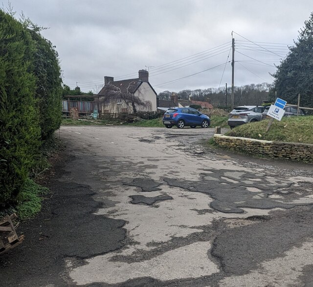
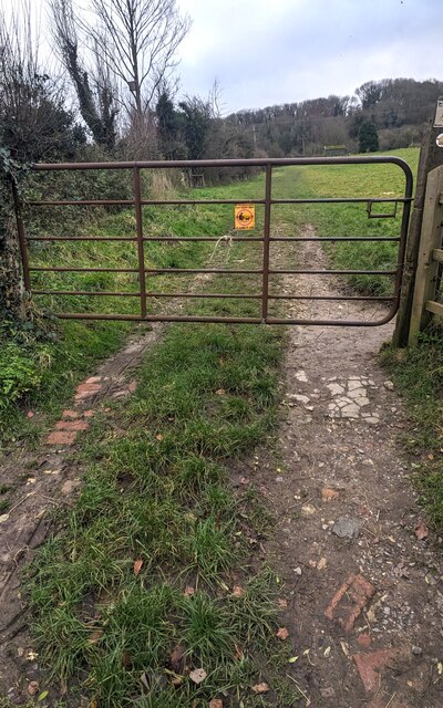
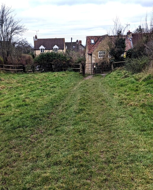
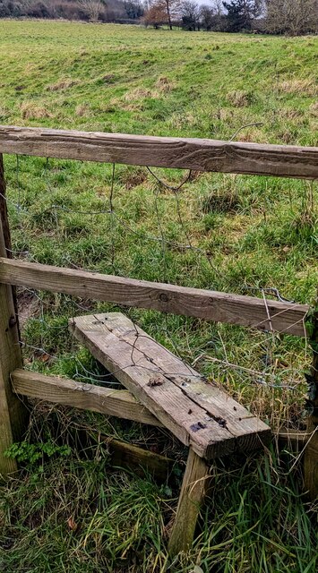
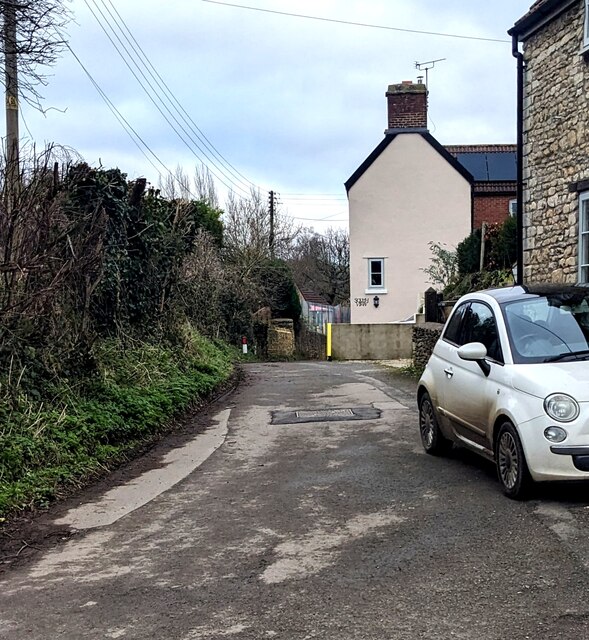
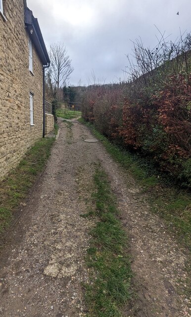
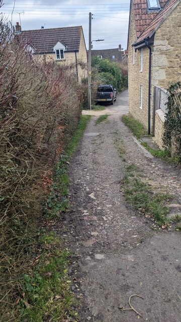
Hillesley and Tresham Images
Images are sourced within 2km of 51.60104/-2.319924 or Grid Reference ST7789. Thanks to Geograph Open Source API. All images are credited.


Hillesley and Tresham is located at Grid Ref: ST7789 (Lat: 51.60104, Lng: -2.319924)
Administrative County: Gloucestershire
District: Stroud
Police Authority: Gloucestershire
What 3 Words
///worldwide.tanked.arise. Near Wotton-under-Edge, Gloucestershire
Nearby Locations
Related Wikis

Hillesley
Hillesley is a village in Gloucestershire, England. It was transferred from the county of Avon in 1991 and is now in Stroud District. The village forms...

Hillesley and Tresham
Hillesley and Tresham is a civil parish in the Stroud District of Gloucestershire, England. It had a population of 591 according to the 2001 census, decreasing...

Lord Robert Somerset
General Lord Robert Edward Henry Somerset (19 December 1776 – 1 September 1842) was a British soldier who fought during the Peninsular War and the War...

Hawkesbury, Gloucestershire
Hawkesbury is a hamlet and civil parish in the area of the South Gloucestershire unitary authority in England. The hamlet, consisting of a few cottages...
Nearby Amenities
Located within 500m of 51.60104,-2.319924Have you been to Hillesley and Tresham?
Leave your review of Hillesley and Tresham below (or comments, questions and feedback).