Bronwydd
Settlement in Cardiganshire
Wales
Bronwydd
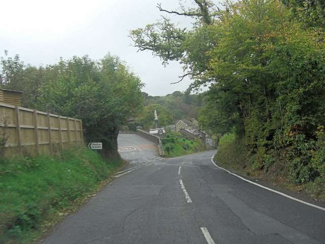
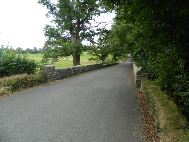
Bronwydd is a small village located in the county of Cardiganshire, Wales. Situated about 6 miles northeast of the town of Carmarthen, Bronwydd is nestled amidst picturesque countryside and rolling hills. The village is part of the larger Bronwydd Arms community and is surrounded by lush green fields, woodlands, and the scenic Gwili River.
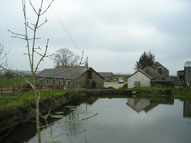
Bronwydd has a rich history, with its origins dating back to medieval times. The village is known for its charming and well-preserved traditional Welsh cottages, which add to its aesthetic appeal. The community has a close-knit feel, with a friendly and welcoming atmosphere that characterizes the village.
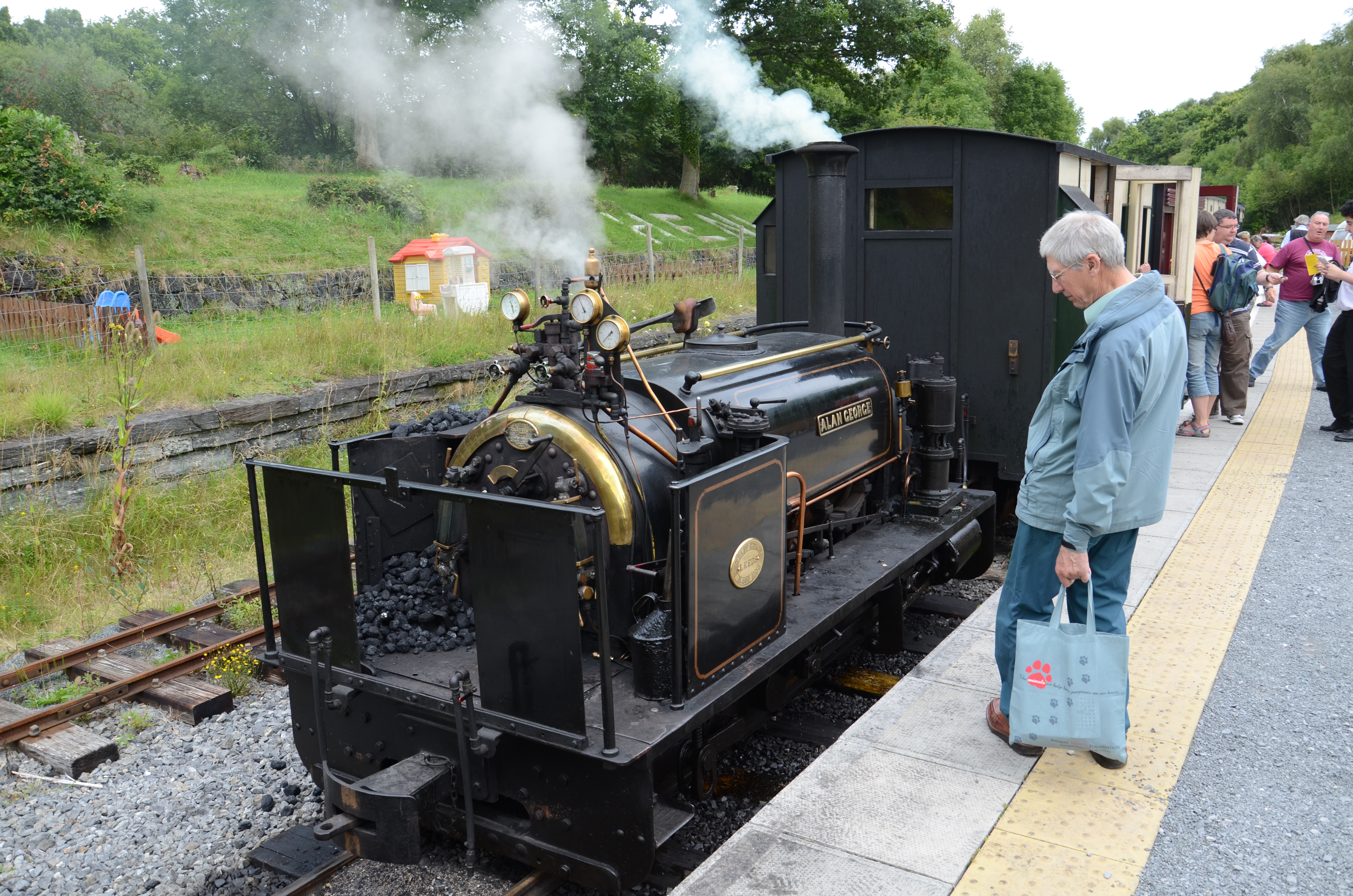
One of the notable landmarks in Bronwydd is Bronwydd Arms railway station, a historic train station that was built in 1863. The station is part of the preserved Gwili Steam Railway, which offers visitors a nostalgic journey through the beautiful countryside.
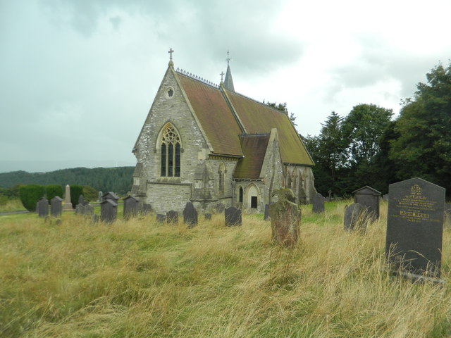
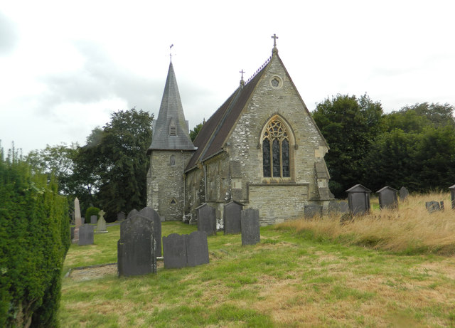
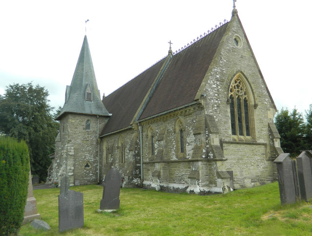
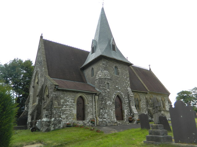
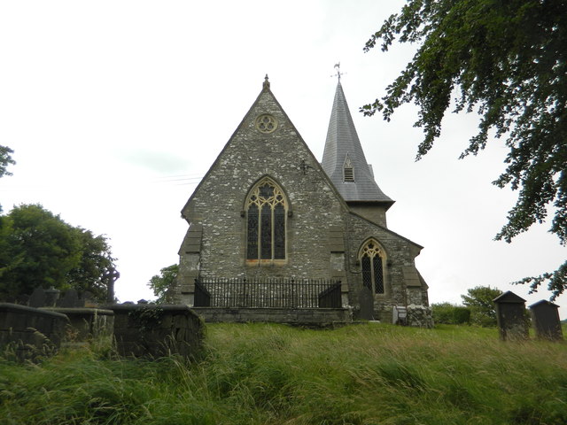
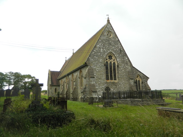
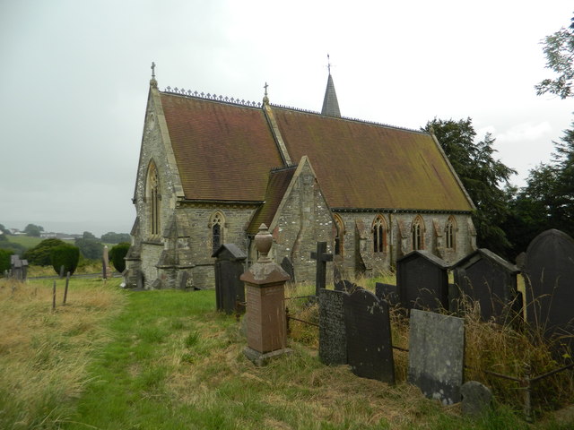
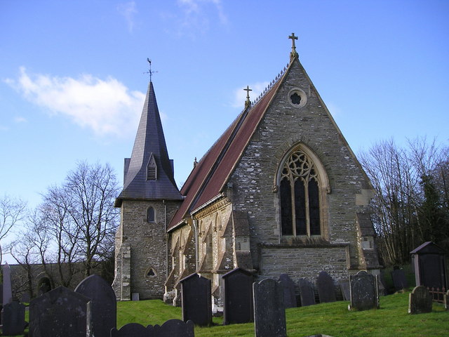
The village is also home to St. John the Baptist Church, a stunning medieval parish church that dates back to the 13th century. The church features intricate architecture and is surrounded by a peaceful churchyard.
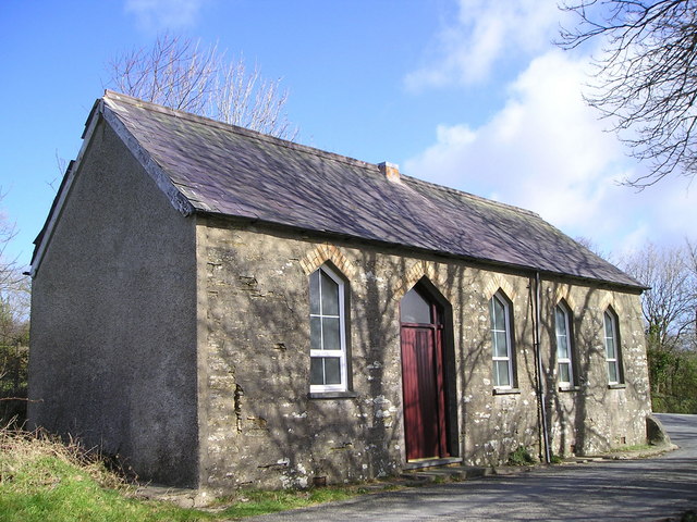
While Bronwydd is a small village, it offers a range of amenities for residents and visitors. These include a village hall, a local pub, and a primary school. The surrounding area offers opportunities for outdoor activities such as hiking, cycling, and fishing, making it an attractive destination for nature enthusiasts.
In summary, Bronwydd is a picturesque village in Cardiganshire, Wales, known for its historic charm, stunning countryside, and friendly community.
If you have any feedback on the listing, please let us know in the comments section below.
Bronwydd Images
Images are sourced within 2km of 52.060739/-4.40825 or Grid Reference SN3543. Thanks to Geograph Open Source API. All images are credited.


Bronwydd is located at Grid Ref: SN3543 (Lat: 52.060739, Lng: -4.40825)
Unitary Authority: Ceredigion
Police Authority: Dyfed Powys
What 3 Words
///headstone.vanished.replace. Near Newcastle Emlyn, Ceredigion
Nearby Locations
Related Wikis

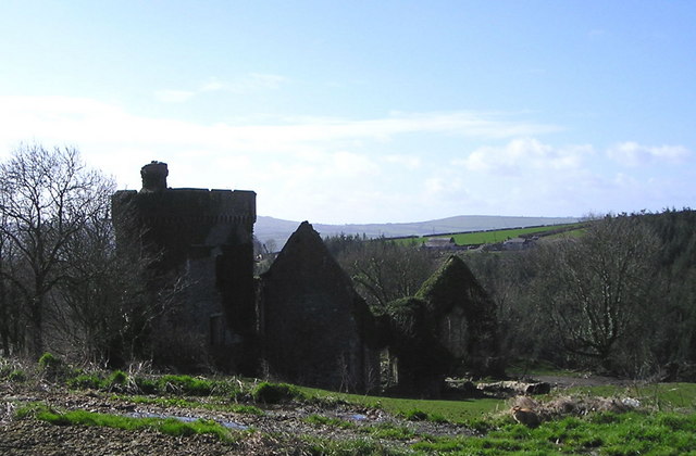
Bronwydd Castle
Bronwydd Castle (or simply Bronwydd) was a Welsh country house in Cardiganshire, owned by the Lloyd family. It is just south of Llangynllo/Llangunllo,...
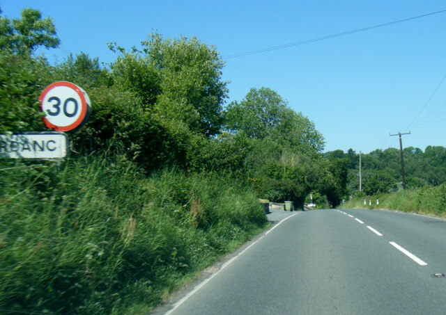
Aberbanc
Aber-banc is a village in the Welsh county of Ceredigion. Aber-banc is situated on a sharp bend on the A475 approximately 4 miles east of Newcastle Emlyn...
Llandyfriog transmitting station
The Llandyfriog transmitting station is a broadcasting and telecommunications facility located on high ground several kilometres east of the town of Newcastle...

Coed-y-bryn
Coed-y-bryn is a small village in the community of Troedyraur, Ceredigion, Wales. Coed-y-bryn is represented in the Senedd by Elin Jones and the Member...
Berthyfedwen
Berthyfedwen is a small village in the community of Llandyfriog, Ceredigion, Wales, which is 65.8 miles (105.9 km) from Cardiff and 187.1 miles (301 km...
Glyncaled
Glyncaled is a hamlet in the community of Llandyfriog, Ceredigion, Wales, which is 64.8 miles (104.3 km) from Cardiff and 185.8 miles (299 km) from London...
Henllan railway station
Henllan was a railway station near the village of Henllan, Ceredigion, West Wales, serving the hamlet and the rural locale. == History == The Teifi Valley...

Llandyfriog
Llandyfriog is a community in Ceredigion, Wales. It includes the Adpar part of Newcastle Emlyn and the villages, Bangor Teifi, Trebedw, Bryndioddef-isaf...
Nearby Amenities
Located within 500m of 52.060739,-4.40825Have you been to Bronwydd?
Leave your review of Bronwydd below (or comments, questions and feedback).