Hill and Moor

Civil Parish in Worcestershire Wychavon

England

Hill and Moor

A44 entering Fladbury
A44 entering Fladbury Credit: Peter Whatley

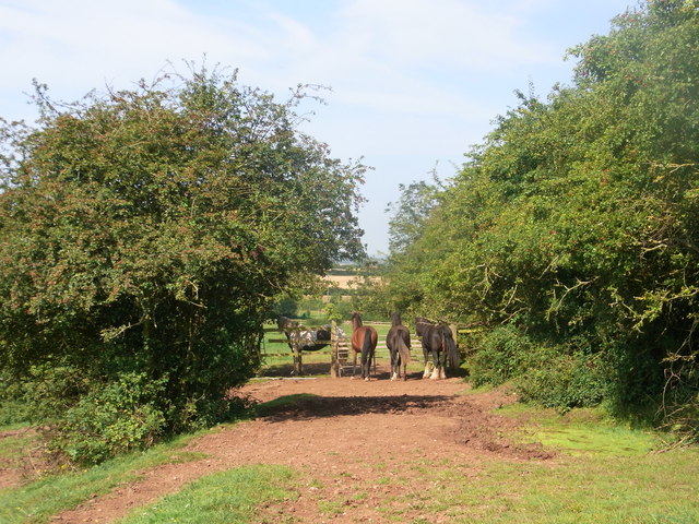
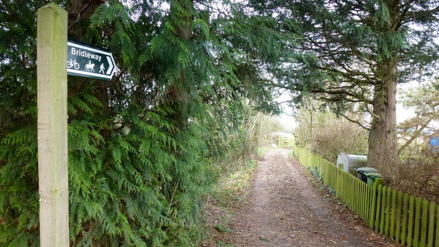
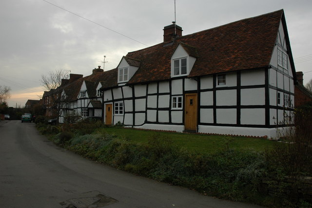
Hill and Moor is a civil parish located in Worcestershire, England. It is a small rural area situated in the north of the county, near the border with Shropshire. The parish is made up of scattered farms and hamlets surrounded by picturesque countryside, including rolling hills and open moorland.

The population of Hill and Moor is relatively small, with only a few hundred residents living in the area. The parish is primarily agricultural, with farming being the main source of livelihood for many of its inhabitants. The landscape is dotted with fields of crops, grazing livestock, and patches of woodland.

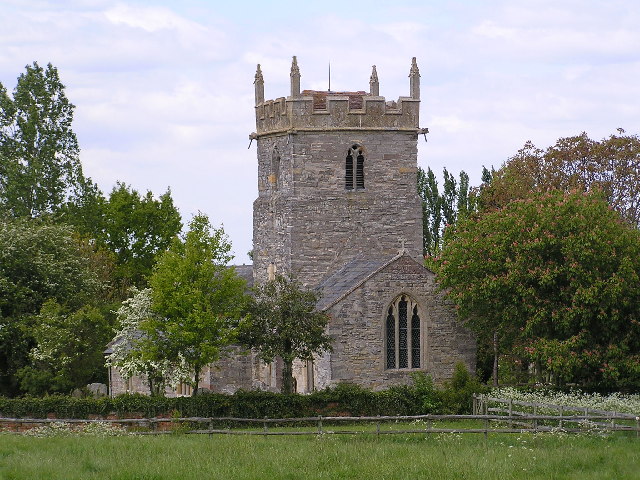
Hill and Moor is a quiet and peaceful community, with a strong sense of camaraderie among its residents. The parish has a church, a village hall, and a few small businesses, but amenities are limited, and most residents travel to nearby towns for shopping and services.

Overall, Hill and Moor is a charming rural parish with a strong sense of community and a beautiful natural environment. It offers a tranquil and idyllic lifestyle for those who appreciate the countryside and a slower pace of life.

If you have any feedback on the listing, please let us know in the comments section below.

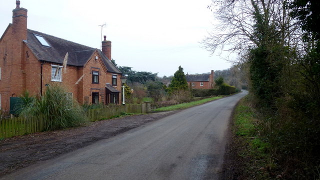
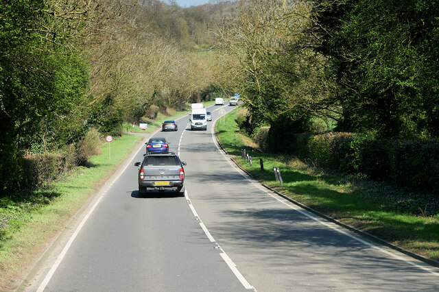
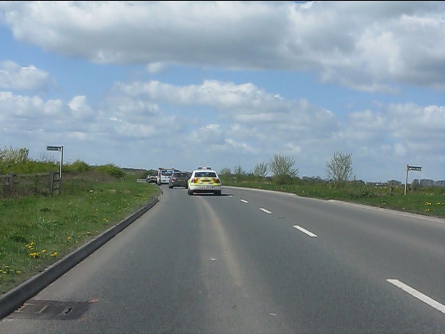
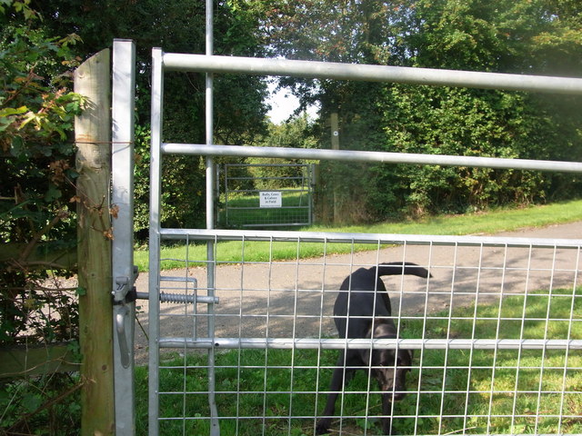
Hill and Moor Images

Images are sourced within 2km of 52.132685/-2.022554 or Grid Reference SO9848. Thanks to Geograph Open Source API. All images are credited.

A44 entering Fladbury
Guardians of the gate Bridleway through the farm, no waymarks at all.
Guardians of the gate
Bridleway through the farm, no waymarks at all.
Footpath on the edge of Evesham Golf Course Former line of the Wychavon Way, now diverted further north via Machine Farm and Hill so avoiding having to walk a section alongside the busy A44.
Footpath on the edge of Evesham Golf Course
Former line of the Wychavon Way, now diverted further north via Machine Farm and Hill so avoiding having to walk a section alongside the busy A44.
Bridleway at Hill Furze Heading north.
Bridleway at Hill Furze
Heading north.
Hill Furze Hamlet tucked into a fold of hills in East Worcestershire.
Hill Furze
Hamlet tucked into a fold of hills in East Worcestershire.
A44, Evesham Road The A44 is a major road in the United Kingdom that runs for 155 miles from Oxford in southern England to Aberystwyth in west Wales.
<span class="nowrap"><a title="http://www.sabre-roads.org.uk/wiki/index.php?title=A44" rel="nofollow ugc noopener" href="http://www.sabre-roads.org.uk/wiki/index.php?title=A44">Link</a><img style="margin-left:2px;" alt="External link" title="External link - shift click to open in new window" src="https://s1.geograph.org.uk/img/external.png" width="10" height="10"/></span>  SABRE
<span class="nowrap"><a title="https://en.wikipedia.org/wiki/A44_road" rel="nofollow ugc noopener" href="https://en.wikipedia.org/wiki/A44_road">Link</a><img style="margin-left:2px;" alt="External link" title="External link - shift click to open in new window" src="https://s1.geograph.org.uk/img/external.png" width="10" height="10"/></span>  Wikipedia
A44, Evesham Road
The A44 is a major road in the United Kingdom that runs for 155 miles from Oxford in southern England to Aberystwyth in west Wales. LinkExternal link SABRE LinkExternal link Wikipedia
Bend in road near gate into field at Throckmorton
Badger's Hill Looking north-west from the slopes of Badger's Hill. Clent Hills in the distance.
Badger's Hill
Looking north-west from the slopes of Badger's Hill. Clent Hills in the distance.
A44 at the entrance to Craycombe House
A44 at Fladbury Cross
Lay-by and snack bar on the A44 near Lower Moor
A44 in Lower Moor We've caught up with that speedy police car again. See: <a title="https://www.geograph.org.uk/photo/2381843" href="https://www.geograph.org.uk/photo/2381843">Link</a>
A44 in Lower Moor
We've caught up with that speedy police car again. See: Link
The road to Upper Moor
A44 - Wyre Piddle bypass crosses a bridleway
Pile driver being delivered Along a track (footpath) to a development site near the new glasshouses, Lower Moor.
Pile driver being delivered
Along a track (footpath) to a development site near the new glasshouses, Lower Moor.
Bridleway gateway between fields Bridleway is between the A44 and Hill and forms the constituency boundary here.
Bridleway gateway between fields
Bridleway is between the A44 and Hill and forms the constituency boundary here.
Bridleway gates either side of the private drive, Hill
Carrot harvesting, Springhill Farm
Show me another place!

Hill and Moor is located at Grid Ref: SO9848 (Lat: 52.132685, Lng: -2.022554)

Administrative County: Worcestershire

District: Wychavon

Police Authority: West Mercia

What 3 Words

///redefined.thinks.possibly. Near Pershore, Worcestershire

Nearby Locations

Hill and Moor

Related Wikis

Hill and Moor

Hill and Moor is a civil parish in the Wychavon district of Worcestershire, England. It includes the village Lower Moor and the hamlets of Upper Moor...

Lower Moor

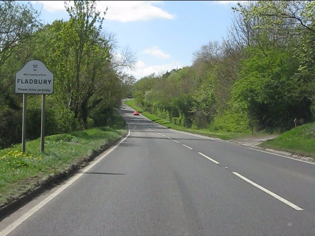
Lower Moor is a village between Wyre Piddle and Fladbury in the district of Wychavon in Worcestershire, England.

QinetiQ Pershore

QinetiQ Pershore is a Business Park and Trials Centre operated by QinetiQ. The site is located near the village of Throckmorton, Worcestershire, England...

Throckmorton, Worcestershire

Throckmorton is a small village and civil parish in the administrative district of Wychavon, in the county of Worcestershire, England. The village lies...

Nearby Amenities

Located within 500m of 52.132685,-2.022554
Hill- Depot
Naptan AtcoCode: 2000G032000
Naptan Bearing: NE
Naptan BusStopType: CUS
Naptan CommonName: Hill- Depot
Naptan Indicator: Adj
Naptan Landmark: Depot
Naptan NaptanCode: wocdjdtw
Naptan Street: Throckmorton Road
Naptan Verified: no
Source: naptan_import
Lat/Long: 52.1313462/-2.0261068
Barrier: stile
Lat/Long: 52.1298956/-2.0172512
Post Box
Collection Times: Mo-Fr 16:45; Sa 07:30
Post Box Type: lamp
Ref: WR10 222
Royal Cypher: EIIR
Royal Cypher Wikidata: Q33102113
Lat/Long: 52.1313024/-2.0256381
Hill
Place: hamlet
Lat/Long: 52.1314836/-2.0233426
Barrier: block
Lat/Long: 52.1344372/-2.0255147
Wood View Hill
Material: wood
Power: pole
Transformer: distribution
Voltage Primary: 11000
Lat/Long: 52.1365014/-2.0244998
Material: wood
Power: pole
Lat/Long: 52.1362835/-2.0231362
Power: pole
Lat/Long: 52.1360912/-2.021927
Power: pole
Lat/Long: 52.1358567/-2.0204836
Power: pole
Lat/Long: 52.1356406/-2.0191594
Power: pole
Lat/Long: 52.1353544/-2.0178112
Power: pole
Lat/Long: 52.1337504/-2.0162719
Power: pole
Lat/Long: 52.1323985/-2.0178719
Power: pole
Lat/Long: 52.1287639/-2.0220954
Power: pole
Lat/Long: 52.1295413/-2.0214483
Hill
Power: pole
Transformer: distribution
Voltage Primary: 11000
Lat/Long: 52.1303231/-2.0207954
Power: pole
Lat/Long: 52.130953/-2.0196023
The Firs
Power: pole
Transformer: distribution
Voltage Primary: 11000
Lat/Long: 52.131707/-2.0243542
Power: pole
Lat/Long: 52.1317793/-2.0227139
Court Farm House
Power: pole
Transformer: distribution
Voltage Primary: 11000
Lat/Long: 52.1318445/-2.0209828
Power: pole
Lat/Long: 52.1322039/-2.0202859
Power: pole
Lat/Long: 52.131946/-2.0193988
Power: pole
Lat/Long: 52.1317214/-2.0186639
Power: pole
Lat/Long: 52.1331507/-2.0170263
Power: pole
Lat/Long: 52.1327562/-2.0156458
The data included in this document is from www.openstreetmap.org. The data is made available under ODbL.

Have you been to Hill and Moor?

Leave your review of Hill and Moor below (or comments, questions and feedback).