High Roothing

Civil Parish in Essex Uttlesford

England

High Roothing

Road junction near Attridge's Farm Behind me the lane goes to Rands and High Roding, ahead heads off towards The Easters and left goes to Bishop's Green and Barnston.
Road junction near Attridge's Farm Credit: Trevor Harris

High Roothing is a civil parish located in the county of Essex, England. Situated approximately 30 miles northeast of London, it forms a part of the Uttlesford district. The parish covers an area of around 5 square miles and is made up of several small settlements, including the villages of High Roothing, Leaden Roding, and Margaret Roding.

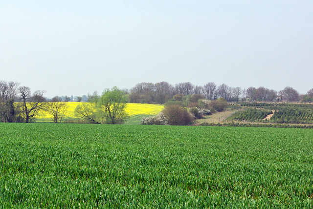
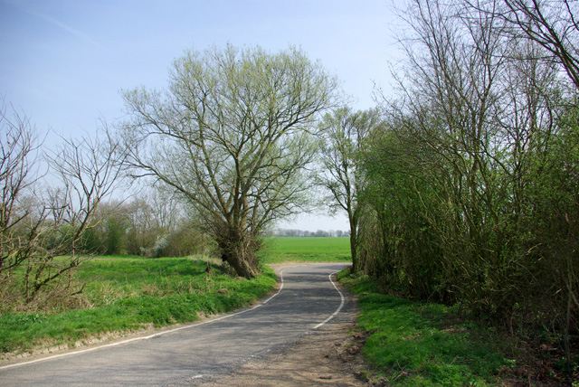
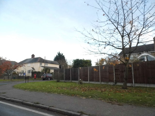
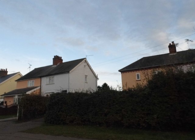
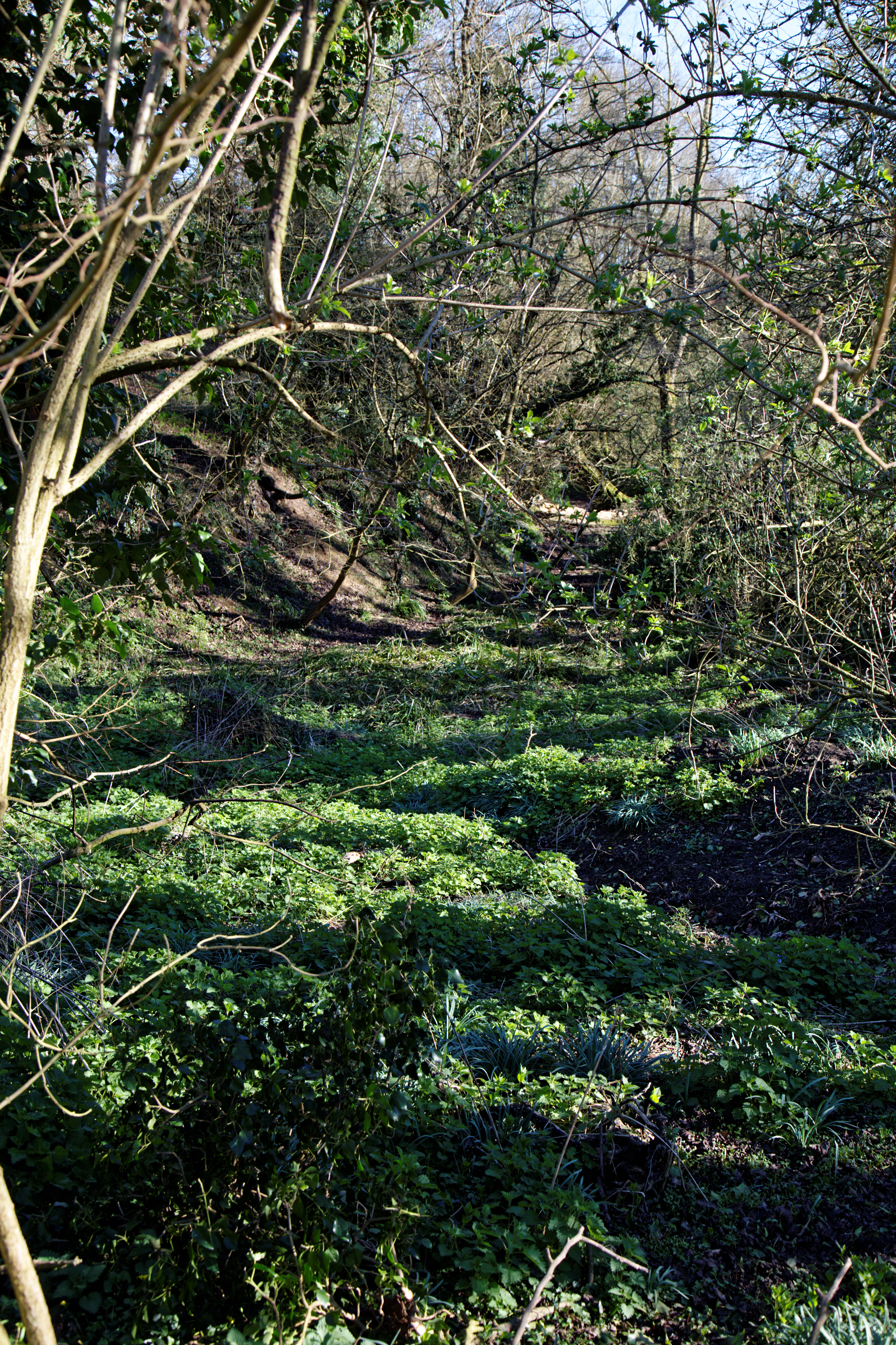
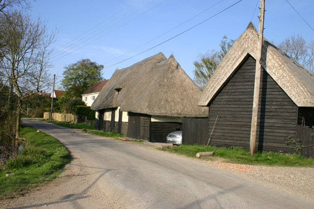
High Roothing is a predominantly rural area characterized by its picturesque countryside, open fields, and charming village atmosphere. The parish is home to a relatively small population, with the majority of residents engaged in agricultural activities or commuting to nearby towns and cities for work.

The area boasts a rich historical heritage, with evidence of human settlement dating back to the Roman period. The parish is known for its well-preserved medieval churches, such as St. Michael's Church in High Roothing, which features stunning architectural details and serves as a reminder of the area's past.

The local economy is primarily centered around agriculture, with farms and agricultural estates dotting the landscape. The fertile soils and favorable climate make it an ideal location for arable farming, with crops such as wheat, barley, and rapeseed being commonly cultivated.

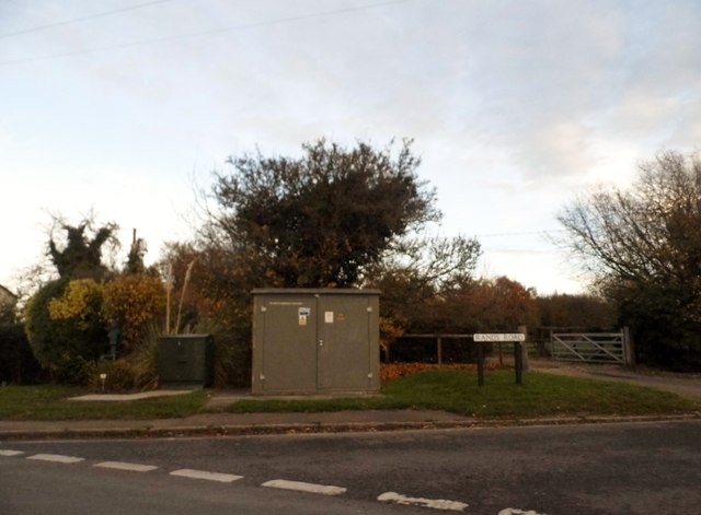
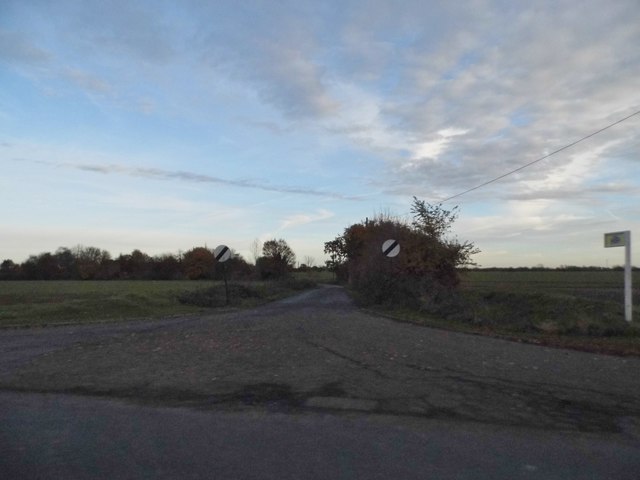
For amenities and services, residents of High Roothing have access to a range of facilities in nearby towns, including schools, healthcare centers, and retail outlets. The area is also well-connected to the wider region, with good transportation links via road and rail.

In conclusion, High Roothing is a charming and idyllic civil parish in Essex, offering a peaceful rural lifestyle and a strong sense of community.

If you have any feedback on the listing, please let us know in the comments section below.

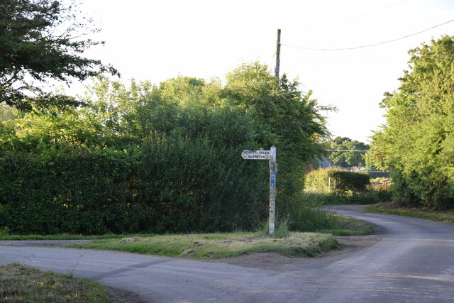
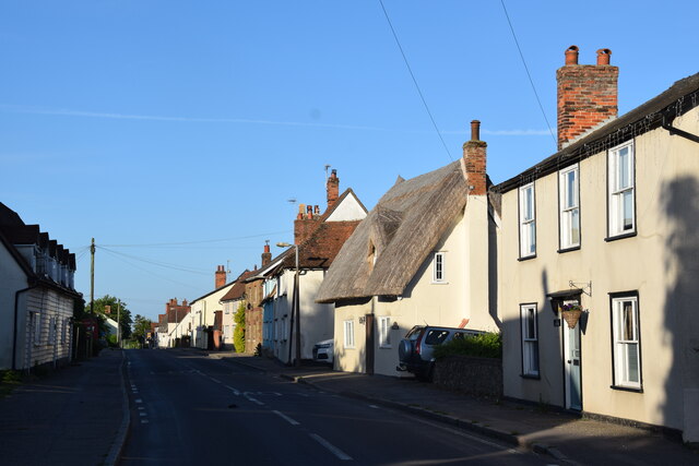
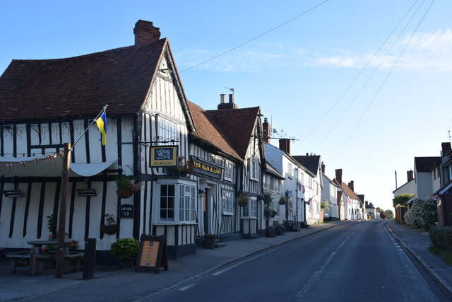
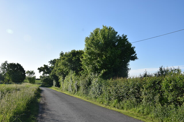
High Roothing Images

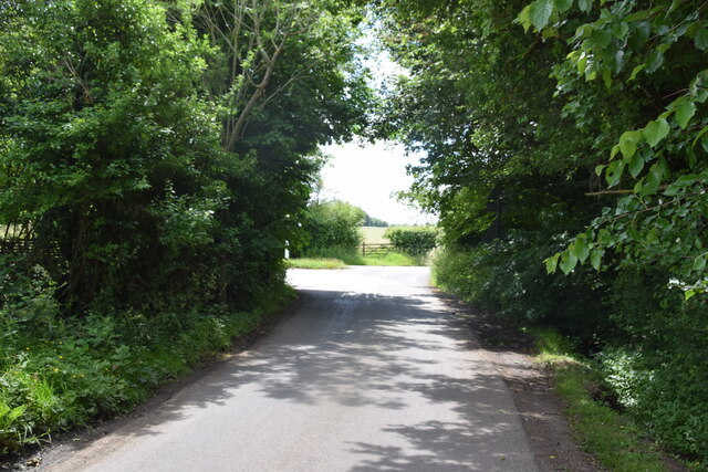
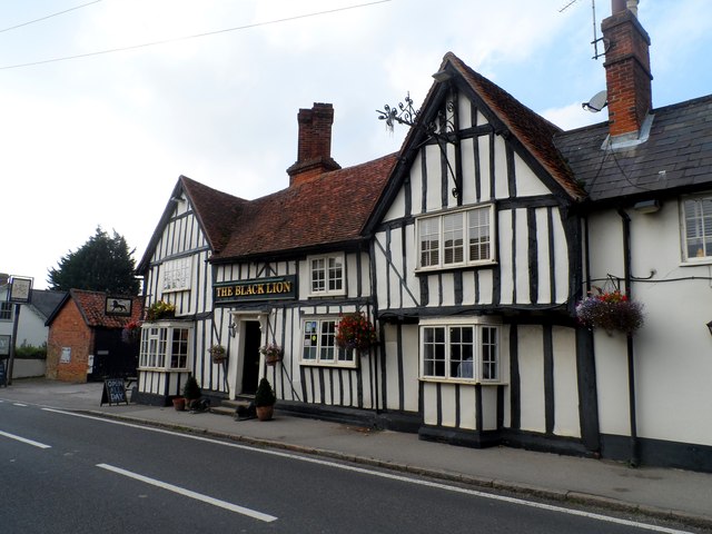
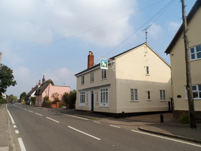
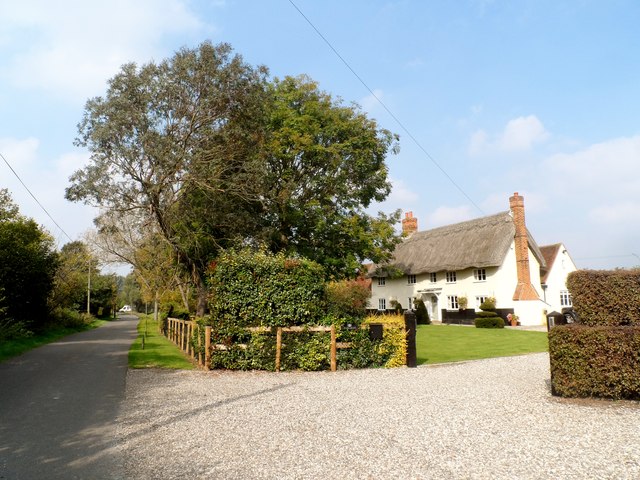
Images are sourced within 2km of 51.82832/0.324387 or Grid Reference TL6016. Thanks to Geograph Open Source API. All images are credited.

Road junction near Attridge's Farm Behind me the lane goes to Rands and High Roding, ahead heads off towards The Easters and left goes to Bishop's Green and Barnston.
Road junction near Attridge's Farm
Behind me the lane goes to Rands and High Roding, ahead heads off towards The Easters and left goes to Bishop's Green and Barnston.
High Roding A view from he northern end of the village. The early morning sun highlights the little thatched cottage. High Roding is very much a linear settlement with very little development back from The Street - which follows the line of a Roman Road. Some modern development has resulted in some "back streets".
High Roding
A view from he northern end of the village. The early morning sun highlights the little thatched cottage. High Roding is very much a linear settlement with very little development back from The Street - which follows the line of a Roman Road. Some modern development has resulted in some "back streets".
The Black Lion and the view north east along The Street The Black Lion proclaims itself "a Traditional 14th Century Coaching Inn" (no doubt correctly).
The Black Lion and the view north east along The Street
The Black Lion proclaims itself "a Traditional 14th Century Coaching Inn" (no doubt correctly).
Lane to High Trees Farm ....and to the sewage works.
Lane to High Trees Farm
....and to the sewage works.
Road junction at Bacon End Close to Bacon End Farm.
Road junction at Bacon End
Close to Bacon End Farm.
The Black Lion, High Roding The core of the structure is C15 but with many later additions. See <span class="nowrap"><a title="http://www.britishlistedbuildings.co.uk/en-352755-the-black-lion-public-house-high-roothin#.VhrMn_lViko" rel="nofollow ugc noopener" href="http://www.britishlistedbuildings.co.uk/en-352755-the-black-lion-public-house-high-roothin#.VhrMn_lViko">Link</a><img style="margin-left:2px;" alt="External link" title="External link - shift click to open in new window" src="https://s1.geograph.org.uk/img/external.png" width="10" height="10"/></span> for entry in British Listed Buildings.
The Black Lion, High Roding
The core of the structure is C15 but with many later additions. See LinkExternal link for entry in British Listed Buildings.
Village sign, High Roding
The Old Lamb, High Roding It seems to have been converted to residential use. See <span class="nowrap"><a title="http://www.britishlistedbuildings.co.uk/en-352794-the-old-lamb-public-house-high-roothing-#.VhrOavlViko" rel="nofollow ugc noopener" href="http://www.britishlistedbuildings.co.uk/en-352794-the-old-lamb-public-house-high-roothing-#.VhrOavlViko">Link</a><img style="margin-left:2px;" alt="External link" title="External link - shift click to open in new window" src="https://s1.geograph.org.uk/img/external.png" width="10" height="10"/></span> for entry in British Listed Buildings
The Old Lamb, High Roding
It seems to have been converted to residential use. See LinkExternal link for entry in British Listed Buildings
Bacon End Cottages Originally built around 1300 but with much alteration since. See <span class="nowrap"><a title="http://www.britishlistedbuildings.co.uk/en-352660-bacon-end-cottages-great-canfield-essex#.Vls4YnbhDIU" rel="nofollow ugc noopener" href="http://www.britishlistedbuildings.co.uk/en-352660-bacon-end-cottages-great-canfield-essex#.Vls4YnbhDIU">Link</a><img style="margin-left:2px;" alt="External link" title="External link - shift click to open in new window" src="https://s1.geograph.org.uk/img/external.png" width="10" height="10"/></span> for entry in British Listed Buildings.
Bacon End Cottages
Originally built around 1300 but with much alteration since. See LinkExternal link for entry in British Listed Buildings.
Behind the hedge A rather indirect lane towards Barnston and Dunmow is on the other side.
Behind the hedge
A rather indirect lane towards Barnston and Dunmow is on the other side.
Across the fields to Dobb's Wood
View west over fields The stream in the valley forms the parish boundary between High Easter and High Roding.
View west over fields
The stream in the valley forms the parish boundary between High Easter and High Roding.
Lane to High Roding, Barnston and Dunmow Depending which way you turn at the next junction.
Lane to High Roding, Barnston and Dunmow
Depending which way you turn at the next junction.
Rands Road The road crosses a small stream here, the parish boundary between High Roding and High Easter.
Rands Road
The road crosses a small stream here, the parish boundary between High Roding and High Easter.
Rands Road, High Roding
Road junction in High Roding It's a short lane that leads to a farm
Road junction in High Roding
It's a short lane that leads to a farm
Dunmow Road, High Roding
Houses on Dunmow Road, High Roding
Show me another place!

High Roothing is located at Grid Ref: TL6016 (Lat: 51.82832, Lng: 0.324387)

Administrative County: Essex

District: Uttlesford

Police Authority: Essex

What 3 Words

///skews.mixing.sobs. Near Great Dunmow, Essex

Nearby Locations

High Roothing

Related Wikis

High Roding

High Roding is a village and civil parish in the Uttlesford district of Essex, England. The village is included in the eight hamlets and villages called...

Great Canfield Castle

Great Canfield Castle lies in the small village of Great Canfield, 3 miles (5 km) south-west of Great Dunmow in Essex, England: grid reference TL595179...

Baconend Green

Baconend Green is a hamlet in the Uttlesford district of Essex, England. It is within the parish of Great Canfield.

Bacon End

Bacon End is a hamlet in the civil parish of Great Canfield, and near Great Canfield Castle, in Essex, England. == References == == External links == mid...

Nearby Amenities

Located within 500m of 51.82832,0.324387
Turning Loop
Lat/Long: 51.8292088/0.3257373
Turning Circle
Lat/Long: 51.8289871/0.324898
Bus Stop
The Black Lion
Bus: yes
Naptan AtcoCode: 150002002002
Naptan Bearing: NE
Naptan CommonName: The Black Horse
Naptan Indicator: o/s
Naptan Landmark: The Black Horse
Naptan NaptanCode: esxatwma
Naptan Street: Dunmow Road
Naptan Verified: no
Public Transport: platform
Source: naptan_import
Lat/Long: 51.8293677/0.3236573
The Black Lion
Naptan AtcoCode: 1500020020Y2
Naptan Bearing: SW
Naptan BusStopType: CUS
Naptan CommonName: The Black Horse
Naptan Indicator: Opp
Naptan Landmark: The Black Horse
Naptan NaptanCode: esxgtagd
Naptan Street: Dunmow Road
Naptan Verified: no
Public Transport: platform
Source: naptan_import
Lat/Long: 51.8293291/0.3237859
Bus Stop
High Roding
Bus: yes
Naptan AtcoCode: 1500HRDNG2;1500HRDNG2AA
Naptan Bearing: SW;NE
Naptan BusStopType: CUS
Naptan CommonName: High Roding
Naptan Crossing: Broadfields
Naptan Indicator: SW-bound;NE-bound
Naptan Landmark: High Roding
Naptan NaptanCode: esxatwjw;esxgptgw
Naptan Street: Dunmow Road
Naptan Verified: no
Public Transport: platform
Source: naptan_import
Lat/Long: 51.8308769/0.3250993
High Roding
Place: village
Lat/Long: 51.8301602/0.3260914
Power: pole
Lat/Long: 51.8292644/0.3287912
Power: pole
Lat/Long: 51.8286365/0.3277628
Crossing
Lat/Long: 51.8252452/0.3235163
Entrance: main
Lat/Long: 51.8292026/0.3235564
Public Bookcase
Defibrillator
Booth: K6
Colour: red
Defibrillator Location: inside old red phone box, The Street, High Roding
Disused Amenity: telephone
Emergency: defibrillator
Listed Status: Grade II
Man Made: telephone_box
Public Bookcase Type: phone_box
Lat/Long: 51.8311329/0.3253192
The data included in this document is from www.openstreetmap.org. The data is made available under ODbL.

Have you been to High Roothing?

Leave your review of High Roothing below (or comments, questions and feedback).