High Melton

Civil Parish in Yorkshire Doncaster

England

High Melton

A view of Denaby Ings
A view of Denaby Ings Credit: Neil Theasby

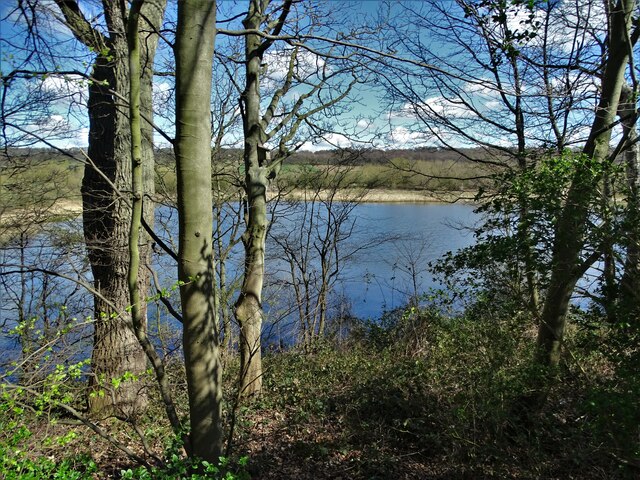
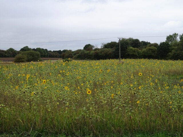
High Melton is a civil parish located in the metropolitan borough of Doncaster, South Yorkshire, England. Situated about 6 miles northwest of Doncaster town center, it covers an area of approximately 1.5 square miles. The village is surrounded by picturesque countryside, with the River Dearne flowing nearby.

The history of High Melton dates back to the medieval period, and it is mentioned in the Domesday Book of 1086. The village is known for its historic buildings, including the Grade I listed St. James' Church, which dates back to the 12th century. Other notable landmarks include the Old Hall, a 17th-century manor house that now serves as a conference center for Doncaster College, and the former High Melton College, which was a teacher training college until it closed in 2008.

Today, High Melton is a quiet and peaceful village with a small population. It offers a tranquil rural setting, making it an attractive place for residents who prefer a slower pace of life. The village has limited amenities, with a few local shops and services available. However, the nearby town of Doncaster provides a wider range of facilities, including shopping centers, restaurants, and entertainment options.

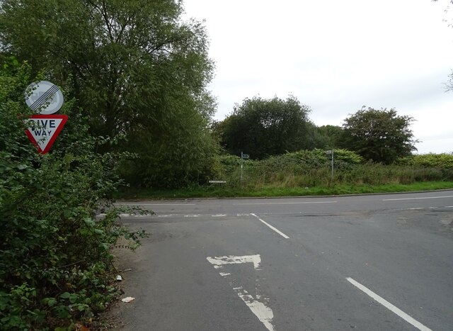
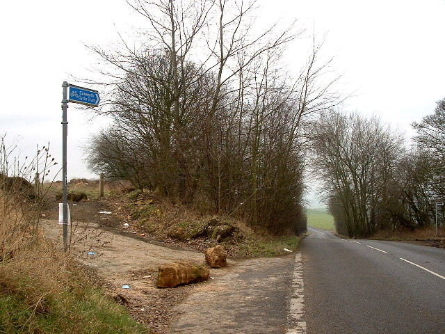
The village is well-connected to the rest of the region by road, with the A635 and A1(M) being easily accessible from High Melton. Public transportation options are limited, but regular bus services operate between the village and Doncaster town center.

Overall, High Melton offers a charming and historic village lifestyle, with easy access to both rural and urban amenities.

If you have any feedback on the listing, please let us know in the comments section below.

High Melton Images

Images are sourced within 2km of 53.517076/-1.232026 or Grid Reference SE5102. Thanks to Geograph Open Source API. All images are credited.

A view of Denaby Ings
Road junction, Dearne Bridge
Sunflowers, Dearne Bridge
Hangman Stone Road the footpath to High Melton leaves the Road
Hangman Stone Road
the footpath to High Melton leaves the Road
Footpath to High Melton A footpath crossing arable land
Footpath to High Melton
A footpath crossing arable land
Footpath entering High Melton The dark coloured houses are unusually clad with wood
Footpath entering High Melton
The dark coloured houses are unusually clad with wood
St James Church, High Melton
The  Junction of Melton Road and Cadeby Lane near High Melton
The Junction of Melton Road and Cadeby Lane
near High Melton
Avenue of  trees leading towards Melton Park. The photo was take near the junction of Cadeby Lane and Melton Road
Avenue of trees
leading towards Melton Park. The photo was take near the junction of Cadeby Lane and Melton Road
Field Boundary and woods beyond A rare feature in this featureless arable area. The photo is taken from Cadeby Lane
Field Boundary and woods beyond
A rare feature in this featureless arable area. The photo is taken from Cadeby Lane
Cadeby Lane towards Cadeby
Sunnycroft Farm Melton Brand Farm is  up the lane which passes in front houses in the photograph.  Built over 200 years ago it was the original farm and my house/next door were the workers cottages.  After World War 1 the West Riding County Council created 6 x 50 acre small holdings, building 2 more farms up the road near the woods and dividing/extending Melton Brand Farm into 2 and sharing the buildings between the 4 farms at Melton Brand. These 6 holdings were tenanted until 1991 when everything was sold off.  There is still a working farm up the lane - Danum Farm and Melton Brand Farm is a private house.
Sunnycroft Farm
Melton Brand Farm is up the lane which passes in front houses in the photograph. Built over 200 years ago it was the original farm and my house/next door were the workers cottages. After World War 1 the West Riding County Council created 6 x 50 acre small holdings, building 2 more farms up the road near the woods and dividing/extending Melton Brand Farm into 2 and sharing the buildings between the 4 farms at Melton Brand. These 6 holdings were tenanted until 1991 when everything was sold off. There is still a working farm up the lane - Danum Farm and Melton Brand Farm is a private house.
Footpath across a ploughed field looking in the direction of Marr (NW)
Footpath across a ploughed field
looking in the direction of Marr (NW)
Across Ploughed field to un-named wood
Melton Wood and Sheep Lane Melton Wood is now a country park owned by Doncaster Metropolitan Borough Council
Melton Wood and Sheep Lane
Melton Wood is now a country park owned by Doncaster Metropolitan Borough Council
Scabba Wood Scabba Wood has much the same boundaries as it did on the 1940s map.  The recent sunshine has quickly ripened this fields crop.
Scabba Wood
Scabba Wood has much the same boundaries as it did on the 1940s map. The recent sunshine has quickly ripened this fields crop.
Hangman Stone Road, Marr
Avenue of oak trees.
Show me another place!

High Melton is located at Grid Ref: SE5102 (Lat: 53.517076, Lng: -1.232026)

Division: West Riding

Administrative County: South Yorkshire

District: Doncaster

Police Authority: South Yorkshire

What 3 Words

///worms.rash.chopper. Near Barnburgh, South Yorkshire

Nearby Locations

High Melton Ox Pasture

Related Wikis

High Melton

High Melton is a village and civil parish in the City of Doncaster in South Yorkshire, England. It had a population of 339 in 2001, reducing to 300 at...

Doncaster Business School

Doncaster Business School was the business school of Doncaster College, England. Established in 1992, as Dearne Valley Business School, the school offered...

St James' Church, High Melton

St James' Church, High Melton is a parish church of the Church of England in High Melton, South Yorkshire, England. == Background == The Church of St James...

Denaby Halt railway station

Denaby Halt was a small railway station on the Dearne Valley Railway (DVR), intended to serve the mining community of Denaby Main in South Yorkshire, England...

Cadeby, South Yorkshire

Cadeby is a village and civil parish in the City of Doncaster in South Yorkshire, England. The population at the census of 2011 was 203. It is about five...

St John the Evangelist's Church, Cadeby

St John the Evangelist's Church is a redundant Anglican church in the village of Cadeby, South Yorkshire, England. It is recorded in the National Heritage...

Dearne Valley

The Dearne Valley is an area of South Yorkshire, England, along the River Dearne. It encompasses the towns of Wombwell, Wath-upon-Dearne, Swinton, Conisbrough...

Sprotborough (H&B) railway station

Sprotborough (H&B) railway station was a small station on the South Yorkshire Junction Railway, which ran south from Wrangbrook Junction, where it joined...

Nearby Amenities

Located within 500m of 53.517076,-1.232026
Power: tower
Source: Bing
Lat/Long: 53.5175163/-1.2263701
Power: tower
Source: Bing
Lat/Long: 53.5172736/-1.2306096
Power: tower
Source: Bing
Lat/Long: 53.5170197/-1.23529
Power: pole
Lat/Long: 53.5206604/-1.2290084
Power: pole
Lat/Long: 53.5209109/-1.2311385
Power: pole
Lat/Long: 53.5211358/-1.2331545
Bench
Backrest: no
Lat/Long: 53.5213093/-1.2308548
The data included in this document is from www.openstreetmap.org. The data is made available under ODbL.

Have you been to High Melton?

Leave your review of High Melton below (or comments, questions and feedback).