High Easter

Civil Parish in Essex Uttlesford

England

High Easter

Behind the hedge A rather indirect lane towards Barnston and Dunmow is on the other side.
Behind the hedge Credit: Robin Webster

High Easter is a civil parish located in the county of Essex, England. Situated approximately 9 miles northwest of the city of Chelmsford, it falls within the administrative district of Uttlesford. The village of High Easter is home to a small population, with the 2011 census recording around 500 residents.

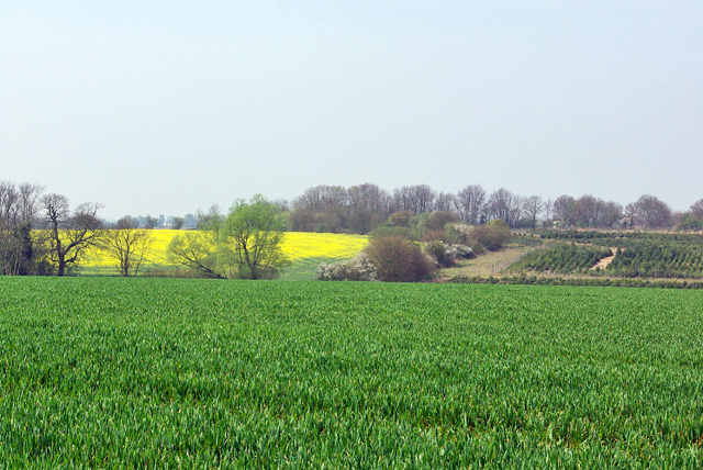
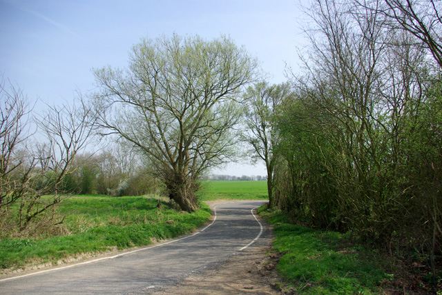
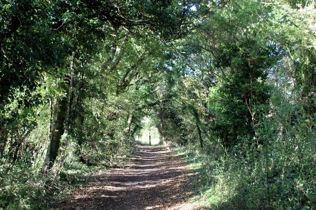
The area is characterized by its picturesque rural setting, surrounded by open fields, farmlands, and countryside. High Easter is known for its charming village atmosphere, with a mix of both traditional and modern properties. The village is centered around St. Mary's Church, a Grade II listed building that dates back to the 12th century. The church features a striking tower, beautiful stained glass windows, and a peaceful churchyard.

The village also boasts a primary school, which serves the local community and surrounding areas. Additionally, there is a village hall that hosts various community events and activities throughout the year, providing a hub for social gatherings.

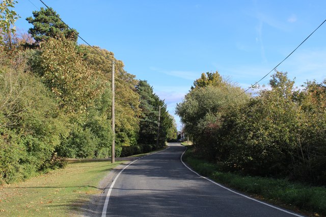
High Easter benefits from its proximity to the city of Chelmsford, where residents can access a wide range of amenities and services, including schools, shopping centers, and leisure facilities. The village is well-connected to major road networks, making it convenient for commuters and visitors to access the area.

Overall, High Easter offers a tranquil and idyllic countryside setting, with a close-knit community and easy access to nearby urban centers.

If you have any feedback on the listing, please let us know in the comments section below.

High Easter Images

Images are sourced within 2km of 51.813866/0.366851 or Grid Reference TL6315. Thanks to Geograph Open Source API. All images are credited.

Behind the hedge A rather indirect lane towards Barnston and Dunmow is on the other side.
Behind the hedge
A rather indirect lane towards Barnston and Dunmow is on the other side.
Across the fields to Dobb's Wood
View west over fields The stream in the valley forms the parish boundary between High Easter and High Roding.
View west over fields
The stream in the valley forms the parish boundary between High Easter and High Roding.
Lane to High Roding, Barnston and Dunmow Depending which way you turn at the next junction.
Lane to High Roding, Barnston and Dunmow
Depending which way you turn at the next junction.
Rands Road The road crosses a small stream here, the parish boundary between High Roding and High Easter.
Rands Road
The road crosses a small stream here, the parish boundary between High Roding and High Easter.
Village sign, High Easter
Track between Hedges heading towards Hayron's Lane Track adopted by the Essex Way long distance footpath
Track between Hedges heading towards Hayron's Lane
Track adopted by the Essex Way long distance footpath
Essex Way between Good Easter and Stagden Cross One of the first county long distance footpath devised, tracing its history back to 1971.
It was also the first to make an appearance within the county borders of Essex.
The 81 mile trail starts outside the underground station in Epping, passing through Chipping Ongar, Pleshey, White Notley, Coggeshall, Great Horkesley, Dedham and Manningtree to the High Lighthouse in Harwich.  It runs through the entire county in a rough south west to north east line.
Essex Way between Good Easter and Stagden Cross
One of the first county long distance footpath devised, tracing its history back to 1971. It was also the first to make an appearance within the county borders of Essex. The 81 mile trail starts outside the underground station in Epping, passing through Chipping Ongar, Pleshey, White Notley, Coggeshall, Great Horkesley, Dedham and Manningtree to the High Lighthouse in Harwich. It runs through the entire county in a rough south west to north east line.
Public Footpath heading North towards High Easter
On the Essex Way heading towards Stagden Cross One of the first county long distance footpath devised, tracing its history back to 1971.
It was also the first to make an appearance within the county borders of Essex.
The 81 mile trail starts outside the underground station in Epping, passing through Chipping Ongar, Pleshey, White Notley, Coggeshall, Great Horkesley, Dedham and Manningtree to the High Lighthouse in Harwich.  It runs through the entire county in a rough south west to north east line.
On the Essex Way heading towards Stagden Cross
One of the first county long distance footpath devised, tracing its history back to 1971. It was also the first to make an appearance within the county borders of Essex. The 81 mile trail starts outside the underground station in Epping, passing through Chipping Ongar, Pleshey, White Notley, Coggeshall, Great Horkesley, Dedham and Manningtree to the High Lighthouse in Harwich. It runs through the entire county in a rough south west to north east line.
Stagden Cross Farmhouse Grade II Listed building located on The Street, Stagden Cross.
The intricate brickwork on the chimney stacks, particularly caught my eye.
Stagden Cross Farmhouse
Grade II Listed building located on The Street, Stagden Cross. The intricate brickwork on the chimney stacks, particularly caught my eye.
Essex Way approaching Stagden Cross from the South A green tunnel is formed on this enclose track, adopted by the Essex Way
Essex Way approaching Stagden Cross from the South
A green tunnel is formed on this enclose track, adopted by the Essex Way
The Street heading East away from Stagden Cross The road to Pleshey
The Street heading East away from Stagden Cross
The road to Pleshey
Field at Acreland Green The public footpath heading north towards the Essex Way, appears to be on this side of the hedgerow
Field at Acreland Green
The public footpath heading north towards the Essex Way, appears to be on this side of the hedgerow
Essex Way East of Stagden Cross One of the first county long distance footpath devised, tracing its history back to 1971.
It was also the first to make an appearance within the county borders of Essex.
The 81 mile trail starts outside the underground station in Epping, passing through Chipping Ongar, Pleshey, White Notley, Coggeshall, Great Horkesley, Dedham and Manningtree to the High Lighthouse in Harwich.  It runs through the entire county in a rough south west to north east line.
Essex Way East of Stagden Cross
One of the first county long distance footpath devised, tracing its history back to 1971. It was also the first to make an appearance within the county borders of Essex. The 81 mile trail starts outside the underground station in Epping, passing through Chipping Ongar, Pleshey, White Notley, Coggeshall, Great Horkesley, Dedham and Manningtree to the High Lighthouse in Harwich. It runs through the entire county in a rough south west to north east line.
Footpath heading North towards Upper Harveys The public footpath is located on the definitive map, although not visible on the ground.
Footpath heading North towards Upper Harveys
The public footpath is located on the definitive map, although not visible on the ground.
Hedge flailing on an Essex Way byway
The Essex Way south of High Easter
Show me another place!

High Easter is located at Grid Ref: TL6315 (Lat: 51.813866, Lng: 0.366851)

Administrative County: Essex

District: Uttlesford

Police Authority: Essex

What 3 Words

///perfumes.beans.coping. Near Little Dunmow, Essex

Nearby Locations

High Easter

Related Wikis

Stagden Cross

Stagden Cross is a hamlet in the civil parish of High Easter, and the Uttlesford district of Essex, England. The hamlet is 1 mile (1.6 km) east from High...

High Easter

High Easter is a village and a civil parish in the Uttlesford district of Essex, England. The village is 7 miles (11 km) northwest from the city of and...

Clatterford End, High Easter

Clatterford End is a hamlet partly in the High Easter civil parish of the Uttlesford district, and partly in the Good Easter parish of the Chelmsford district...

Bishop's Green, Essex

Bishop's Green is a hamlet in the civil parish of High Easter in the Uttlesford district of Essex, England. The hamlet is on the road between the villages...

Have you been to High Easter?

Leave your review of High Easter below (or comments, questions and feedback).