Herne and Broomfield

Civil Parish in Kent Canterbury

England

Herne and Broomfield

Hicks Forstal Road The rood runs through East Blean Wood, which is a National Nature Reserve.
Hicks Forstal Road Credit: John Baker

Herne and Broomfield is a civil parish located in the county of Kent, in southeastern England. Situated within the district of Canterbury, the parish covers an area of approximately 10 square kilometers. It is made up of the villages of Herne and Broomfield, which are located about 6 kilometers northeast of the city of Canterbury.

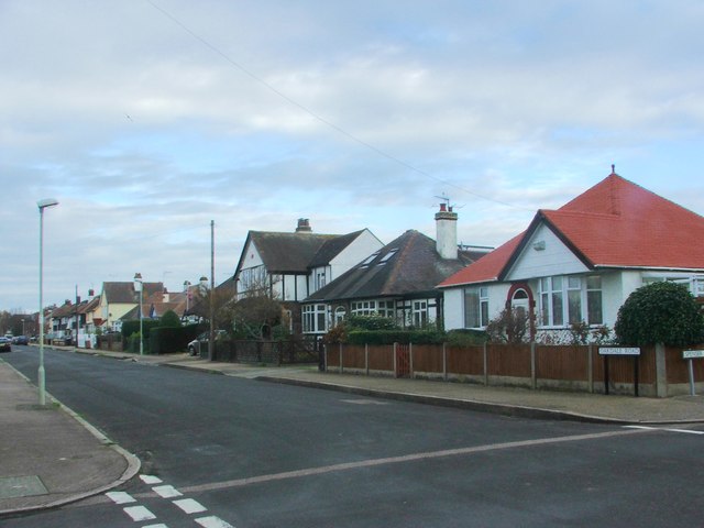
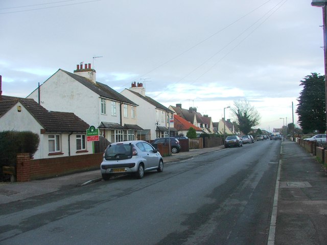
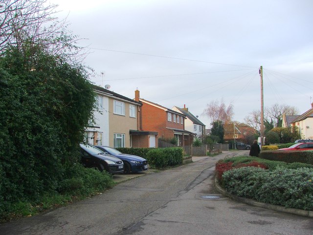
Herne is the larger of the two villages, with a population of around 6,000 residents. It is a historic village that dates back to ancient times, with evidence of human activity in the area since the Bronze Age. Today, Herne has a charming village center with a variety of amenities, including shops, pubs, and restaurants. It also has a primary school and several parks and green spaces for recreational activities.

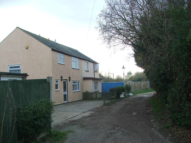
Broomfield is a smaller village with a population of approximately 1,000 residents. It is located to the east of Herne and is known for its picturesque countryside and rural atmosphere. Broomfield has a primary school and a village hall that serves as a community hub for various events and activities.

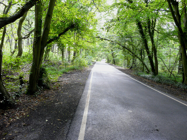
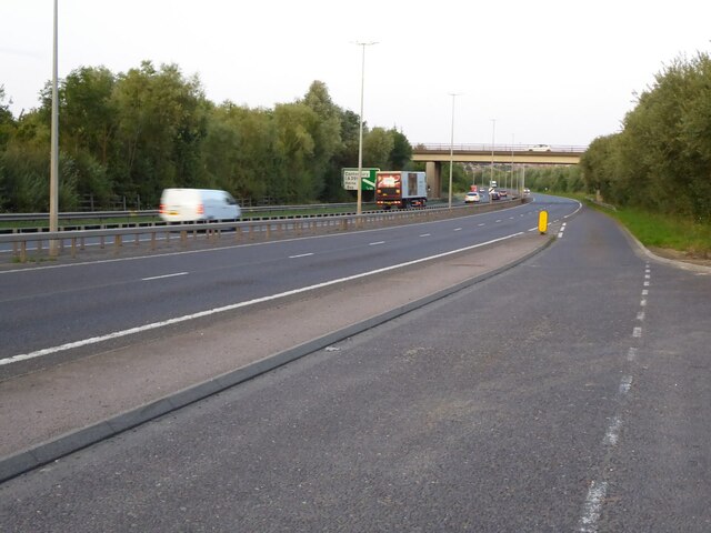
The parish of Herne and Broomfield is surrounded by beautiful natural landscapes, including farmland, woodlands, and the nearby Herne Bay coast. It offers a peaceful and scenic environment, making it a desirable place to live for those seeking a mix of rural and coastal living. The parish is well-connected to nearby towns and cities, with good transport links and easy access to the A299 road.

If you have any feedback on the listing, please let us know in the comments section below.

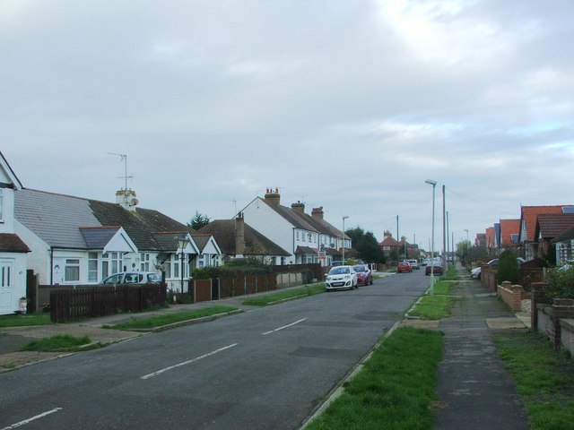
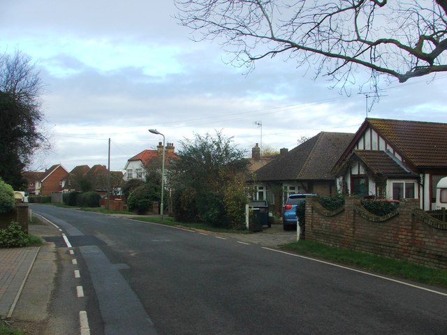
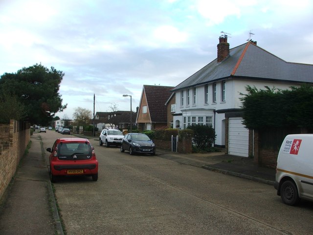
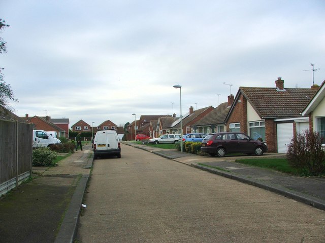
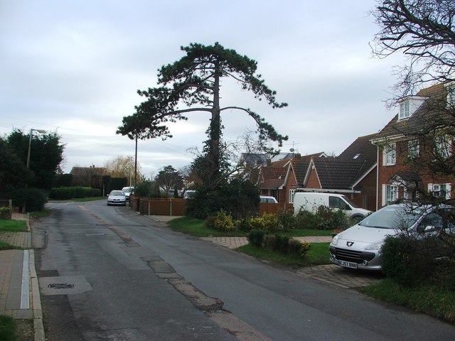
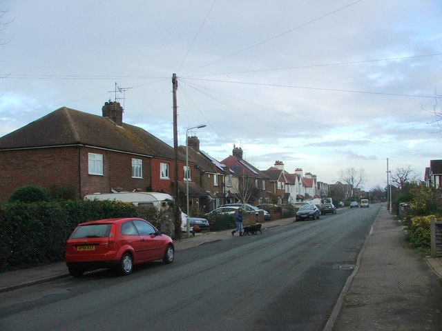
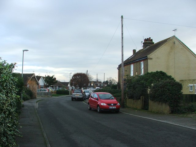
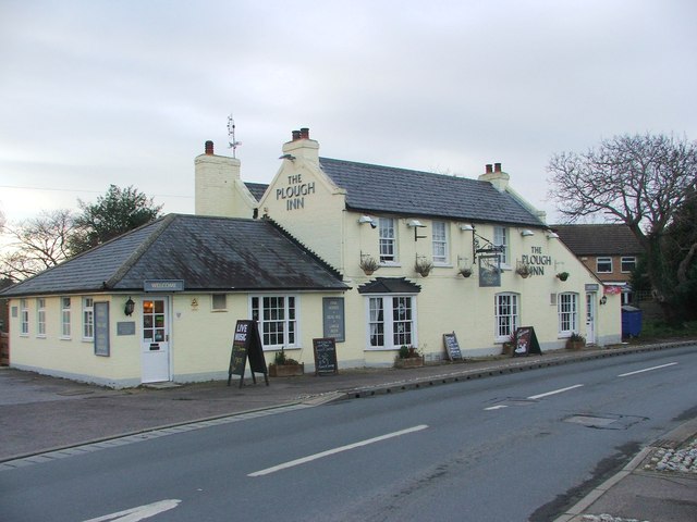
Herne and Broomfield Images

Images are sourced within 2km of 51.347311/1.135458 or Grid Reference TR1865. Thanks to Geograph Open Source API. All images are credited.

Hicks Forstal Road The rood runs through East Blean Wood, which is a National Nature Reserve.
Hicks Forstal Road
The rood runs through East Blean Wood, which is a National Nature Reserve.
The A299, Thanet Way The A299, Thanet Way viewed from a layby near Greenhill.
The A299, Thanet Way
The A299, Thanet Way viewed from a layby near Greenhill.
Wildwood, Herne Fallow deer resting in the sunshine.
Wildwood, Herne
Fallow deer resting in the sunshine.
Oakdale Road, Herne Bay
Mayfield Road, Herne Bay
Ivanhoe Road, Herne Bay
Herne Avenue, Herne Bay
Mickleburgh Hill, Herne Bay
Mill Lane, Herne Bay
Kingsfield Road, Herne Bay
Hillbrow Avenue, Herne Bay
Pigeon Lane, Herne Bay
Hunters Forstal Road, Herne Bay
Gorse Lane, Herne Bay
The Plough Inn, Herne Bay
Margate Road, Broomfield
Hoopers Lane, Broomfield
Bogshole Lane, Broomfield
Show me another place!

Herne and Broomfield is located at Grid Ref: TR1865 (Lat: 51.347311, Lng: 1.135458)

Administrative County: Kent

District: Canterbury

Police Authority: Kent

What 3 Words

///same.lung.plots. Near Herne Bay, Kent

Related Wikis

Herne and Broomfield

Herne and Broomfield is a civil parish and electoral ward within the City of Canterbury. The parish is situated to the north of Canterbury in Kent. The...

Herne, Kent

Herne is a village in South East England, divided by the Thanet Way from the seaside resort of Herne Bay. Administratively it is in the civil parish of...

Curtis Wood

Curtis Wood is a 5.3-hectare (13-acre) Local Nature Reserve in Herne in Kent. It is owned and managed by Canterbury City Council.This wood has diverse...
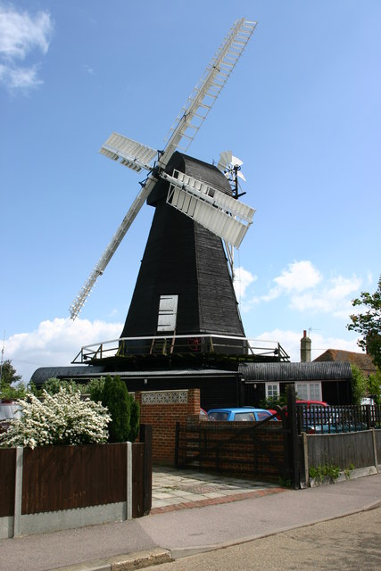
Herne Windmill

Herne Windmill is a Grade I listed smock mill in Herne, Kent, England, that was built in 1789. == History == Herne Windmill was built by John Holman in...

East Blean Woods

East Blean Woods is a 151.4-hectare (374-acre) biological Site of Special Scientific Interest south of Herne Bay in Kent. It is also a National Nature...

Eddington, Kent

Eddington was a village in Kent, South East England to the south-east of Herne Bay, to the west of Beltinge and to the north of Herne. It is now a suburb...

Maypole Airfield

Maypole Airfield (ICAO: EGHB) was a general aviation airfield located 2.5 miles (4.0 km) south of Herne Bay, Kent and 5.2 miles (8.4 km) north east of...

Broomfield, Herne Bay

Broomfield is a village in Kent, England, divided by the Thanet Way from the seaside town of Herne Bay. It is part of the Herne and Broomfield civil parish...

Nearby Amenities

Located within 500m of 51.347311,1.135458
Post Office
Herne Village Stores Post Office
Addr City: Herne Bay
Addr Country: GB
Addr County: Kent
Addr Housenumber: 18
Addr Postcode: CT6 7HQ
Addr Street: Herne Street
Addr Village: Herne
Collection Times: Mo-Fr 17:05; Sa 11:45
Fhrs Id: 1172530
Operator: Post Office
Ref Pol Id: 717
Source Addr: FHRS Open Data
Lat/Long: 51.3503921/1.1327752
Post Box
Brand: Royal Mail
Brand Wikidata: Q638098
Brand Wikipedia: en:Royal Mail
Collection Times: Mo-Fr 09:00; Sa 07:00
Operator: Royal Mail
Operator Wikidata: Q638098
Post Box Design: type_a
Post Box Type: pillar
Postal Code: CT6
Ref: CT6 391
Royal Cypher: EIIR
Royal Cypher Wikidata: Q33102113
Lat/Long: 51.346774/1.132296
Post Box
Brand: Royal Mail
Brand Wikidata: Q638098
Brand Wikipedia: en:Royal Mail
Collection Times: Mo-Fr 09:00, Sa 07:00
Operator: Royal Mail
Operator Wikidata: Q638098
Post Box Design: type_b
Post Box Type: pillar
Postal Code: CT6
Ref: CT6 347
Royal Cypher: EIIR
Royal Cypher Wikidata: Q33102113
Lat/Long: 51.3516776/1.1365131
Herne
Is In: Kent, England, UK
Place: village
Source: Kent, England, UK
Wikidata: Q2158183
Lat/Long: 51.3503509/1.1337922
Crossing
Crossing: uncontrolled
Crossing Ref: zebra
Source: survey
Lat/Long: 51.3512032/1.1350875
Post Box
Brand: Royal Mail
Brand Wikidata: Q638098
Brand Wikipedia: en:Royal Mail
Collection Plate: CP7D
Collection Times: Mo-Fr 09:00; Sa 07:00
Old Ref: CT6 251
Operator: Royal Mail
Operator Wikidata: Q638098
Post Box Mounting: pier
Post Box Type: lamp
Postal Code: CT6
Ref: CT6 251D
Royal Cypher: EIIR
Royal Cypher Wikidata: Q33102113
Source: survey
Survey Date: 2023-09-22
Lat/Long: 51.345768/1.136683
Place Of Worship
Catholic Church of St John Fisher & St Thomas More
Denomination: catholic
Religion: christian
Lat/Long: 51.3489052/1.1330754
Crossing
Crossing: uncontrolled
Crossing Ref: zebra
Lat/Long: 51.3503812/1.132889
Pub
The Smugglers Inn
Addr City: Herne Bay
Addr Country: GB
Addr County: Kent
Addr Housenumber: 1
Addr Postcode: CT6 7AN
Addr Street: School Lane
Addr Village: Herne
Brewery: Shepherd Neame
Fhrs Id: 1102367
Source Addr: FHRS Open Data
Lat/Long: 51.3504157/1.1332155
Pub
The Butcher's Arms
Addr City: Herne Bay
Addr Country: GB
Addr County: Kent
Addr Housenumber: 29A
Addr Postcode: CT6 7HL
Addr Street: Herne Street
Addr Village: Herne
Contact Phone: +44 1227 371000
Contact Website: http://www.micropub.co.uk/
Fhrs Id: 1102693
Micropub: yes
Opening Hours: Tu-Fr 17:30-20:00
Source Addr: FHRS Open Data
Lat/Long: 51.3503252/1.1333586
Barrier: stile
Lat/Long: 51.3463545/1.1407139
Bus Stop
Church
Local Ref: opp
Naptan AtcoCode: 2400A049080A
Naptan Bearing: SE
Naptan BusStopType: MKD
Naptan CommonName: Church
Naptan Indicator: opp
Naptan Landmark: Church
Naptan NaptanCode: kntgajwp
Naptan RevisionNumber: 2
Naptan Status: act
Naptan Street: Herne Street
Naptan Verified: no
Public Transport: platform
Ref: kntgajwp
Source: naptan_import
Source Date: 2018-06-14
Lat/Long: 51.350119/1.1335156
Bus Stop
Church
Bench: yes
Bin: yes
Local Ref: adj
Naptan AtcoCode: 2400A049090A
Naptan Bearing: N
Naptan BusStopType: MKD
Naptan CommonName: Church
Naptan Indicator: adj
Naptan Landmark: Church
Naptan NaptanCode: kntgajwt
Naptan RevisionNumber: 2
Naptan Status: act
Naptan Street: Herne Street
Naptan Verified: no
Public Transport: platform
Ref: kntgajwt
Shelter: yes
Source: naptan_import
Source Date: 2018-06-14
Lat/Long: 51.3497804/1.1335773
Post Box
Brand: Royal Mail
Brand Wikidata: Q638098
Brand Wikipedia: en:Royal Mail
Collection Times: Mo-Fr 17:15; Sa 11:45
Operator: Royal Mail
Operator Wikidata: Q638098
Post Box Mounting: building
Post Box Type: wall
Ref: CT6 186
Royal Cypher: EIIR
Royal Cypher Wikidata: Q33102113
Lat/Long: 51.3504235/1.1328201
Barrier: stile
Lat/Long: 51.3451228/1.1339811
footpath
Hiking: yes
Information: guidepost
Tourism: information
Lat/Long: 51.3499746/1.1318644
Barrier: stile
Foot: yes
Material: wood
Stile: stepover
Lat/Long: 51.3489213/1.1293034
Barrier: kissing_gate
Foot: yes
Source: survey
Lat/Long: 51.3494316/1.1306933
Generator Method: photovoltaic
Generator Output Electricity: yes
Generator Solar Modules: 7
Generator Source: solar
Generator Type: solar_photovoltaic_panel
Location: roof
Power: generator
Lat/Long: 51.3504221/1.137962
Generator Method: photovoltaic
Generator Output Electricity: yes
Generator Solar Modules: 13
Generator Source: solar
Generator Type: solar_photovoltaic_panel
Location: roof
Power: generator
Lat/Long: 51.3515055/1.1378367
Generator Method: photovoltaic
Generator Orientation: 96
Generator Output Electricity: yes
Generator Source: solar
Generator Type: solar_photovoltaic_panel
Location: roof
Power: generator
Lat/Long: 51.3501788/1.1348668
Generator Method: photovoltaic
Generator Orientation: 96
Generator Output Electricity: yes
Generator Source: solar
Generator Type: solar_photovoltaic_panel
Location: roof
Power: generator
Lat/Long: 51.3514024/1.1370839
Generator Method: photovoltaic
Generator Orientation: 96
Generator Output Electricity: yes
Generator Source: solar
Generator Type: solar_photovoltaic_panel
Location: roof
Power: generator
Lat/Long: 51.3514754/1.136456
Generator Method: photovoltaic
Generator Output Electricity: yes
Generator Source: solar
Generator Type: solar_photovoltaic_panel
Location: roof
Power: generator
Lat/Long: 51.3515089/1.1331139
Mini Roundabout
Lat/Long: 51.3502445/1.1331888
Place Of Worship
St. Martins
Denomination: anglican
Religion: christian
Website: https://www.st-martins-herne.co.uk/StMartins/
Wikidata: Q17529469
Lat/Long: 51.3498227/1.1330056
Crossing
Lat/Long: 51.3503387/1.133289
Generator Method: photovoltaic
Generator Output Electricity: yes
Generator Source: solar
Generator Type: solar_photovoltaic_panel
Location: roof
Power: generator
Lat/Long: 51.351642/1.1336745
Generator Method: photovoltaic
Generator Output Electricity: yes
Generator Source: solar
Generator Type: solar_photovoltaic_panel
Location: roof
Power: generator
Lat/Long: 51.3470004/1.1339173
The data included in this document is from www.openstreetmap.org. The data is made available under ODbL.

Have you been to Herne and Broomfield?

Leave your review of Herne and Broomfield below (or comments, questions and feedback).