Hempstead
Civil Parish in Essex Uttlesford
England
Hempstead
Hempstead is a civil parish located in the county of Essex, England. It is situated near the towns of Saffron Walden and Bishop's Stortford, and is part of the Uttlesford district. The parish covers an area of approximately 4 square miles and is home to a small population of around 300 people.
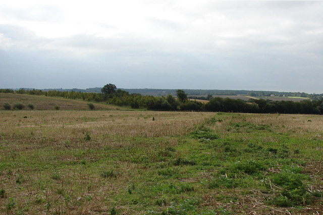
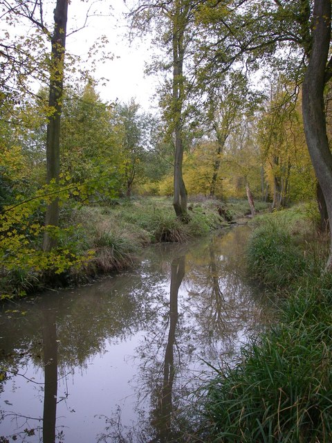
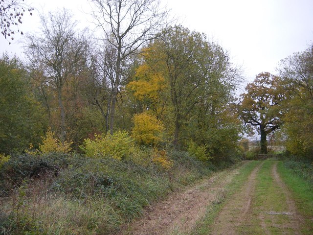
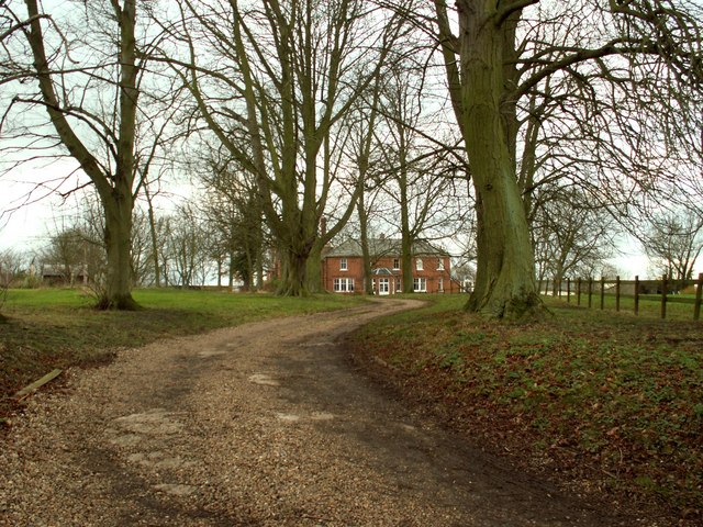
The village of Hempstead is known for its picturesque rural setting and tranquil surroundings. It is characterized by its charming thatched cottages, traditional architecture, and beautiful countryside views. The area is predominantly agricultural, with farmland and fields stretching out in every direction.
Hempstead is well-connected to neighboring towns and cities, with good road links to Saffron Walden and Bishop's Stortford. The M11 motorway is also easily accessible, providing convenient access to London and Cambridge.
The village has limited amenities, with a small primary school, a local church, and a village hall serving as the main community hub. However, residents can access a wider range of services and facilities in nearby towns.
Hempstead offers a peaceful and idyllic rural lifestyle, perfect for those seeking a quieter pace of life. The surrounding countryside provides ample opportunities for outdoor activities such as walking, cycling, and horse riding. The area also boasts several nature reserves and parks, allowing residents to enjoy the natural beauty of the Essex countryside.
If you have any feedback on the listing, please let us know in the comments section below.
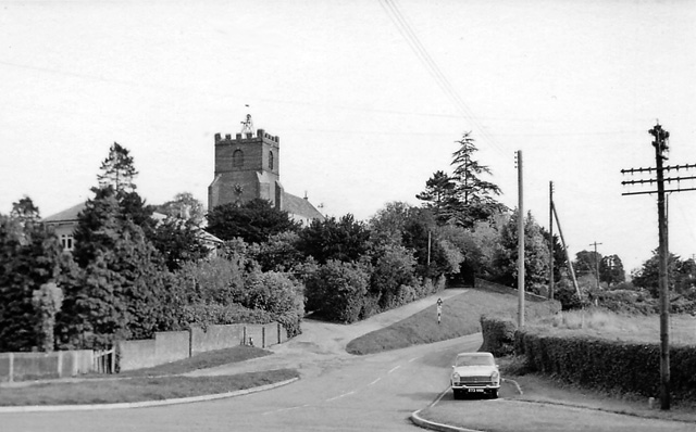
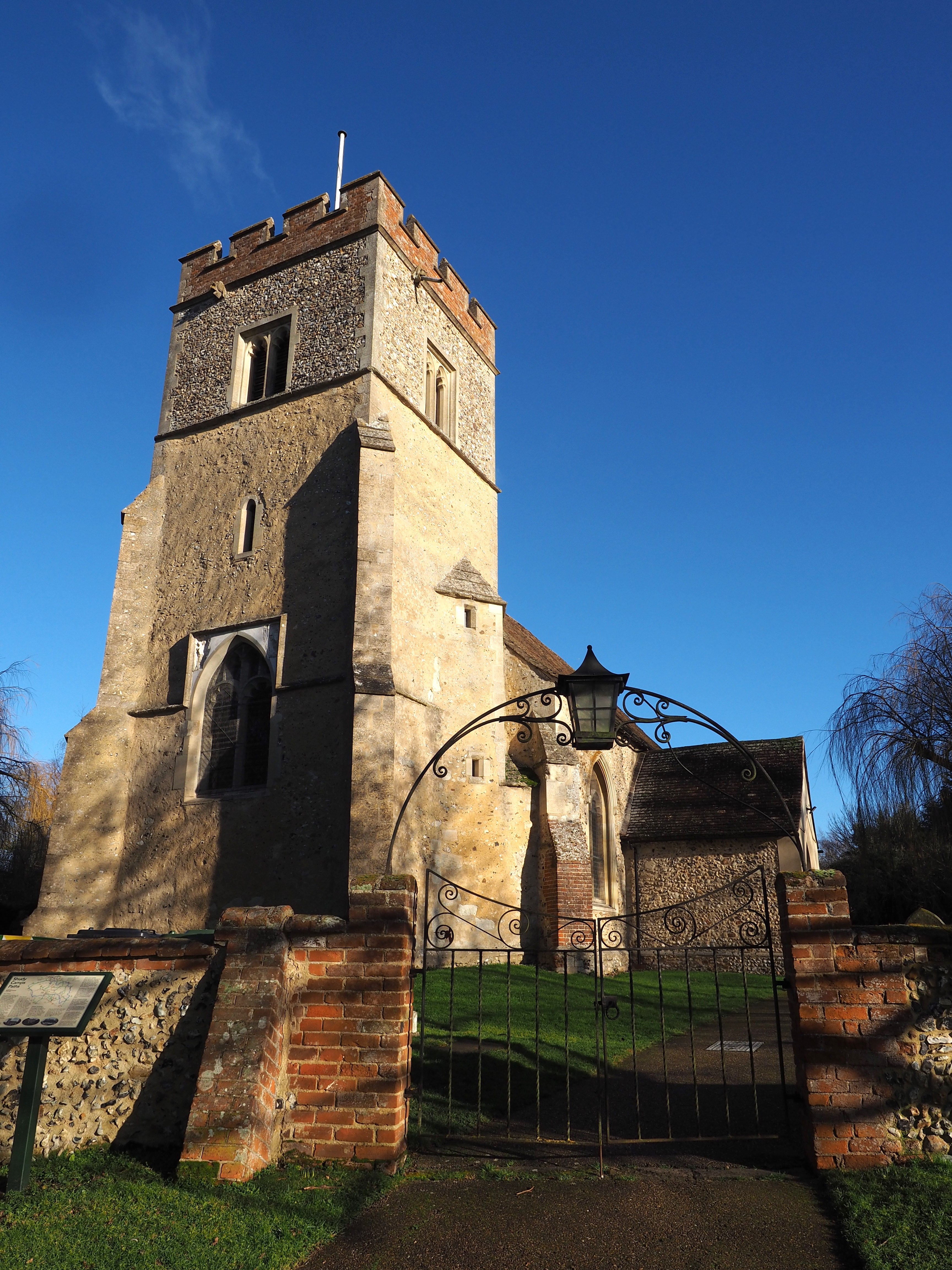
Hempstead Images
Images are sourced within 2km of 52.021251/0.395294 or Grid Reference TL6438. Thanks to Geograph Open Source API. All images are credited.


Hempstead is located at Grid Ref: TL6438 (Lat: 52.021251, Lng: 0.395294)
Administrative County: Essex
District: Uttlesford
Police Authority: Essex
What 3 Words
///tiptoes.yards.apart. Near Steeple Bumpstead, Essex
Nearby Locations
Related Wikis

Hempstead, Essex
Hempstead is a village and civil parish in the Uttlesford district of Essex, England. The village is 7 miles (11 km) east from Saffron Walden and 6 miles...
Helions Bumpstead
Helions Bumpstead is a small village in Essex located near Haverhill and the meeting-point of the Essex, Suffolk and Cambridgeshire borders. It is 2 miles...

RAF Castle Camps
RAF Castle Camps was listed as being in Cambridgeshire as it is close to its namesake Cambridgeshire village. It is very near the Suffolk border and the...
Shudy Camps
Shudy Camps is a village in the south-east corner of Cambridgeshire, England, near the border of Essex and Suffolk, and is part of the Chilford Hundred...

Radwinter
Radwinter is a village and a civil parish on the B1053 road, in the Uttlesford district of the county of Essex, England. The population in the 2011 census...
Castle Camps
Castle Camps was a Norman Castle located in what is now the civil parish of Castle Camps, Cambridgeshire. == Owners == Castle Camps was originally a Saxon...

Great Sampford
Great Sampford is a village and civil parish on the junction of the B1053 and B1051 roads in the Uttlesford district, in the north-west of the English...
RAF Great Sampford
Royal Air Force Great Sampford or more simply RAF Great Sampford is a former Royal Air Force satellite station located 1.7 miles (2.7 km) west of Great...
Nearby Amenities
Located within 500m of 52.021251,0.395294Have you been to Hempstead?
Leave your review of Hempstead below (or comments, questions and feedback).