Helpringham
Civil Parish in Lincolnshire North Kesteven
England
Helpringham

Helpringham is a civil parish located in the county of Lincolnshire, England. Situated approximately 8 miles south of Sleaford and 13 miles north of Bourne, Helpringham covers an area of around 2,000 acres. The parish is home to a population of approximately 1,500 residents.
The village of Helpringham is known for its quaint and picturesque setting, surrounded by beautiful countryside and farmlands. The scenic Helpringham Fen, a wetland nature reserve, lies to the east of the village, offering a tranquil escape for nature enthusiasts and birdwatchers.
The heart of the village is characterized by historic buildings and charming cottages, showcasing its rich architectural heritage. St Andrew's Church, a Grade I listed building, is a prominent feature in Helpringham, dating back to the 12th century. The church boasts impressive stained glass windows and an intricately carved wooden rood screen.
Helpringham is a close-knit community with several amenities and services available to its residents. These include a primary school, a village hall, a post office, and a local convenience store. The community also enjoys various social and recreational activities, such as sports clubs and organized events.
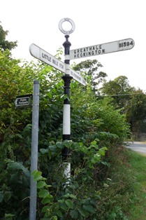
Transport links in Helpringham are well-established, with regular bus services connecting the village to nearby towns and cities. The A17 road runs to the north of the parish, providing convenient access to larger urban centers.
Overall, Helpringham offers a peaceful and idyllic setting, making it an attractive place to live for those seeking a rural lifestyle with easy access to essential amenities.
If you have any feedback on the listing, please let us know in the comments section below.
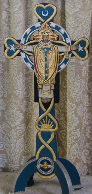
Helpringham Images
Images are sourced within 2km of 52.943577/-0.291912 or Grid Reference TF1439. Thanks to Geograph Open Source API. All images are credited.


Helpringham is located at Grid Ref: TF1439 (Lat: 52.943577, Lng: -0.291912)
Administrative County: Lincolnshire
District: North Kesteven
Police Authority: Lincolnshire
What 3 Words
///slings.transcribes.supper. Near Heckington, Lincolnshire
Nearby Locations
Related Wikis

Helpringham
Helpringham is a village and civil parish in the North Kesteven district of Lincolnshire, England. It lies on the edge of the Fens, and 5 miles (8 km)...

Little Hale
Little Hale is a hamlet and civil parish in the North Kesteven district of Lincolnshire, England. It is situated 5 miles (8 km) south-east from the town...
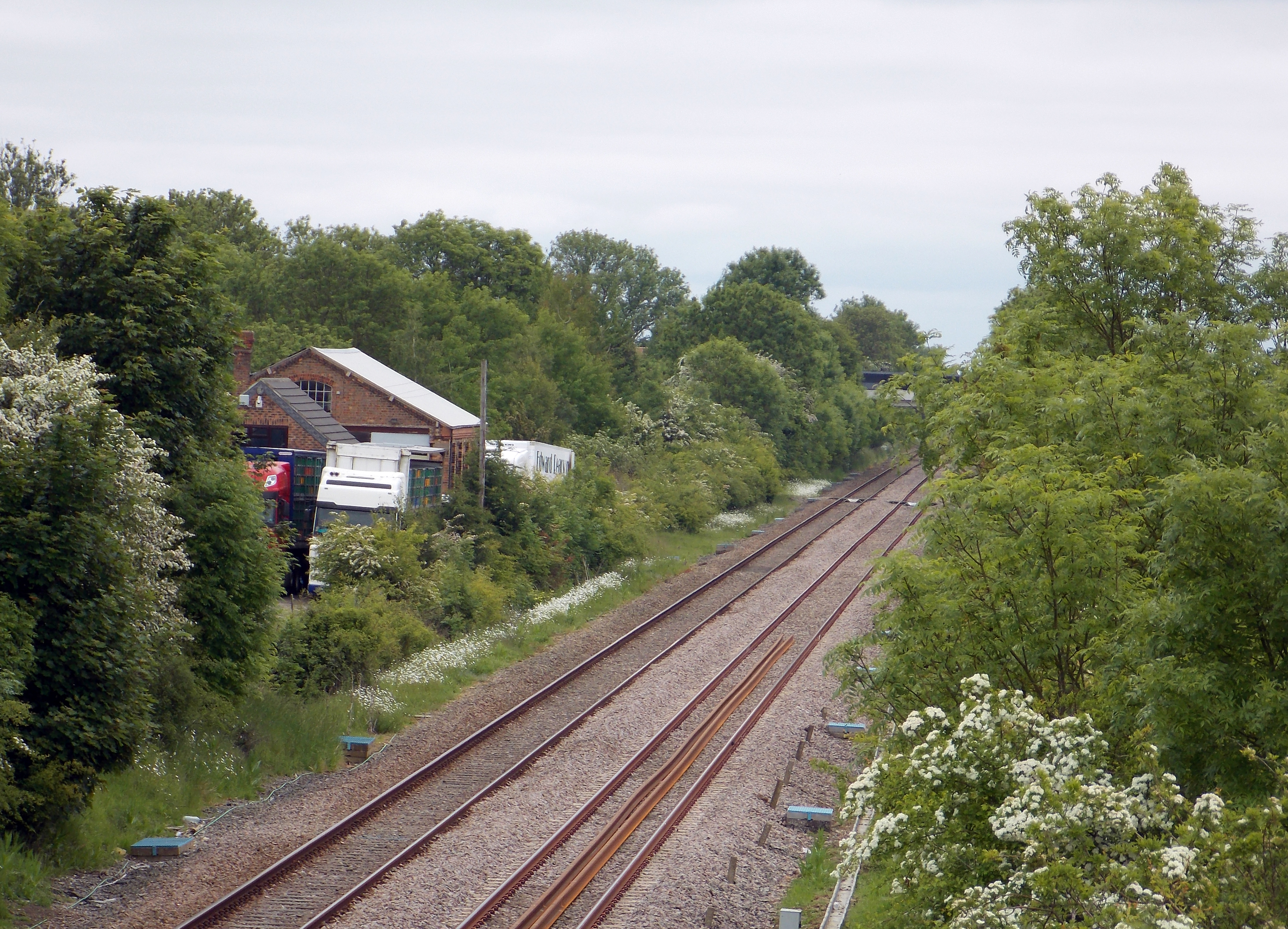
Helpringham railway station
Helpringham railway station was a station in Helpringham, Lincolnshire. The station was opened by the Great Northern and Great Eastern Joint Railway on...

Swaton
Swaton is a village and civil parish in the North Kesteven district of Lincolnshire, England. It is situated on the B1394 road, less than 0.5 miles (0...
Have you been to Helpringham?
Leave your review of Helpringham below (or comments, questions and feedback).