Heighington
Civil Parish in Lincolnshire North Kesteven
England
Heighington
Heighington is a civil parish located in the North Kesteven district of Lincolnshire, England. Situated about 9 miles south-east of Lincoln, the parish covers an area of approximately 6.5 square miles. It is a rural area with a population of around 1,600 people, according to the latest census data.
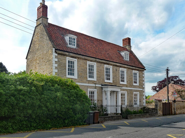
The village of Heighington itself is a charming and picturesque settlement, known for its traditional stone-built cottages and historic buildings. The centerpiece of the village is the All Saints Church, a Grade I listed building dating back to the 12th century. The church features a stunning Norman doorway and a 15th-century tower.
The parish also includes several smaller hamlets, including Washingborough, which lies to the west of Heighington. Washingborough is a popular residential area with a range of amenities, including schools, shops, and a golf course.
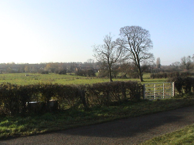
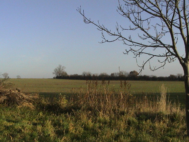
The area is surrounded by beautiful countryside, offering plenty of opportunities for outdoor activities such as walking, cycling, and horse riding. The River Witham runs through the parish, providing further recreational opportunities, including boating and fishing.
Heighington is well-connected to other parts of Lincolnshire by road, with the A15 and A46 nearby. The city of Lincoln is easily accessible, offering a wide range of amenities, including shopping centers, restaurants, and cultural attractions.
Overall, Heighington is a tranquil and picturesque civil parish that offers a rural lifestyle while being within easy reach of larger towns and cities.
If you have any feedback on the listing, please let us know in the comments section below.
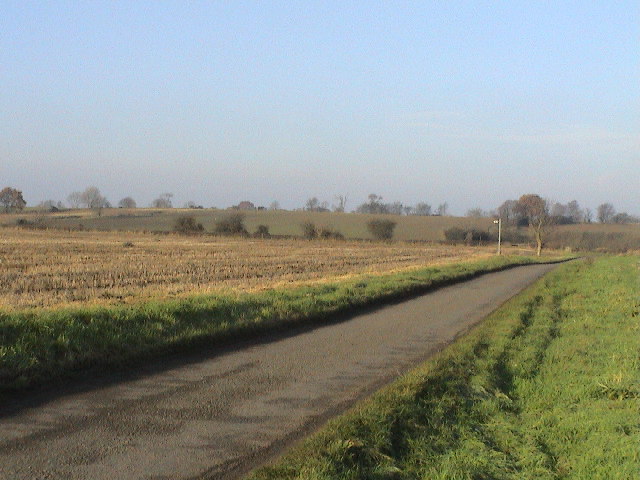
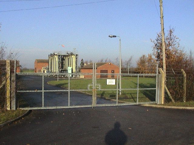
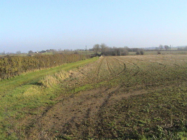
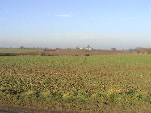
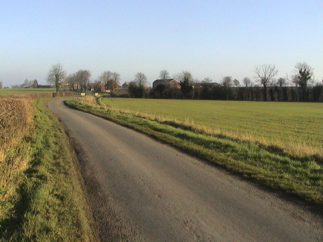
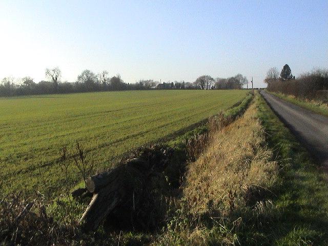
Heighington Images
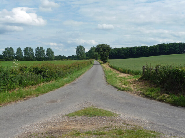
Images are sourced within 2km of 53.207802/-0.44545 or Grid Reference TF0368. Thanks to Geograph Open Source API. All images are credited.


Heighington is located at Grid Ref: TF0368 (Lat: 53.207802, Lng: -0.44545)
Administrative County: Lincolnshire
District: North Kesteven
Police Authority: Lincolnshire
What 3 Words
///names.artist.bullion. Near Heighington, Lincolnshire
Nearby Locations
Related Wikis

Heighington, Lincolnshire
Heighington ( HAY-ing-tən) is a village and civil parish in the North Kesteven district of Lincolnshire, England. It is situated about 4 miles (6 km) south...
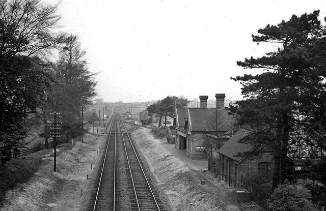
Branston and Heighington railway station
Branston and Heighington railway station was a station in the village of Heighington, Lincolnshire, on the line between Lincoln and Sleaford. == References ==

Branston Community Academy
Branston Community Academy, (formerly Branston School and Community College) is a secondary school for 11- to 18-year-old students on Station Road in Branston...

Branston, Lincolnshire
Branston is a large village in the civil parish of Branston and Mere, in the North Kesteven district of Lincolnshire, England, 4 miles (6 km) south-east...
Nearby Amenities
Located within 500m of 53.207802,-0.44545Have you been to Heighington?
Leave your review of Heighington below (or comments, questions and feedback).