Heckington
Civil Parish in Lincolnshire North Kesteven
England
Heckington
Heckington is a civil parish located in the county of Lincolnshire, in the East Midlands region of England. Situated approximately 8 miles to the south-east of the town of Sleaford, Heckington covers an area of around 16.5 square miles and has a population of approximately 3,500 residents.
The village of Heckington is known for its rich history dating back to the Anglo-Saxon period. It is home to the Grade I listed Heckington Windmill, a landmark that has become an iconic symbol of the village. Built in 1830, the windmill is one of the few working eight-sailed windmills in the country and attracts visitors from near and far.
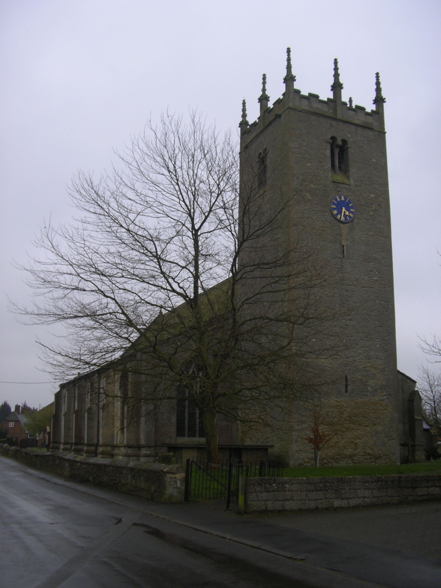
Heckington also boasts a beautiful medieval church, St. Andrew's Church, which dates back to the 12th century. This magnificent structure is known for its impressive tower and stained glass windows, making it a popular destination for history enthusiasts and architecture lovers.
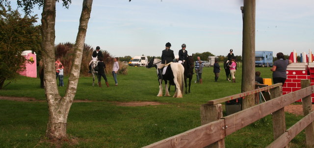
The village is well-served by various amenities, including a primary school, a medical center, a post office, and a range of shops and pubs. It also hosts the annual Heckington Show, one of the largest agricultural shows in the country, attracting thousands of visitors each year.
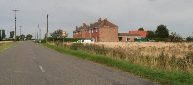
The surrounding countryside offers picturesque views and opportunities for outdoor activities such as walking, cycling, and fishing. With its rich heritage, charming village atmosphere, and convenient location, Heckington is a popular place to live and visit in Lincolnshire.
If you have any feedback on the listing, please let us know in the comments section below.
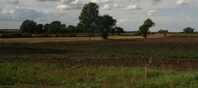
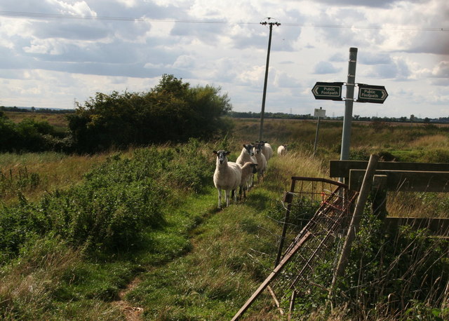
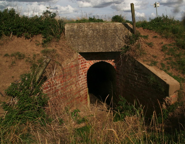
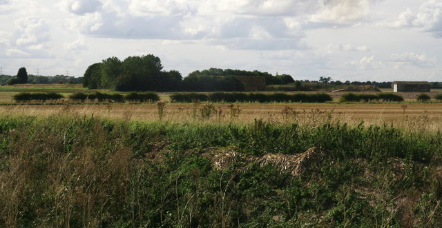
Heckington Images
Images are sourced within 2km of 52.991339/-0.263655 or Grid Reference TF1645. Thanks to Geograph Open Source API. All images are credited.


Heckington is located at Grid Ref: TF1645 (Lat: 52.991339, Lng: -0.263655)
Administrative County: Lincolnshire
District: North Kesteven
Police Authority: Lincolnshire
What 3 Words
///grafted.changes.migrate. Near Heckington, Lincolnshire
Nearby Locations
Related Wikis

Car Dyke
The Car Dyke was, and to a large extent still is, a long ditch which runs along the western edge of the Fens in eastern England for a distance of over...
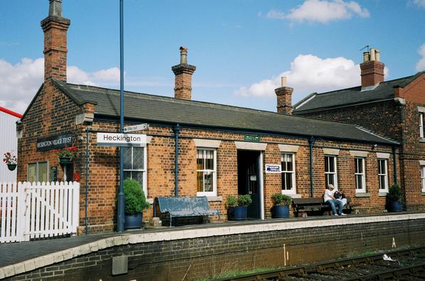
Heckington railway station
Heckington railway station is located in the village of Heckington in Lincolnshire, England. The old station building houses the Heckington Station Railway...
Great Hale
Great Hale is a village and civil parish in the North Kesteven district of Lincolnshire, England. The population of the civil parish at the 2011 census...

Heckington Methodist Church
Heckington Methodist Church is in Heckington, Lincolnshire, England. == History == The first Wesleyan Methodist chapel in the village was built in 1809...
Have you been to Heckington?
Leave your review of Heckington below (or comments, questions and feedback).