Hazlerigg
Civil Parish in Northumberland Newcastle upon Tyne
England
Hazlerigg
Hazlerigg is a civil parish located in the county of Northumberland, in the northeast of England. It is situated approximately 5 miles north of the city of Newcastle upon Tyne and falls within the administrative boundaries of the Newcastle upon Tyne district.
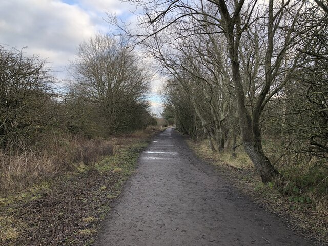
The parish covers an area of about 2 square miles and is predominantly rural in nature, characterized by open countryside, farmland, and scattered residential properties. It is bordered by the A1 road to the west, providing convenient access to Newcastle and other nearby towns.
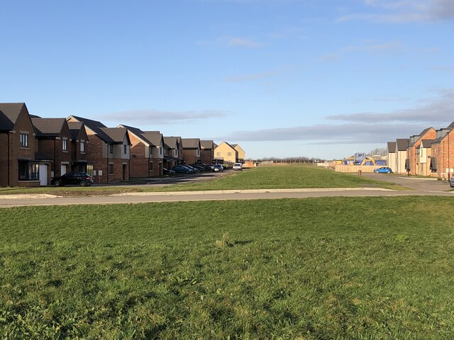
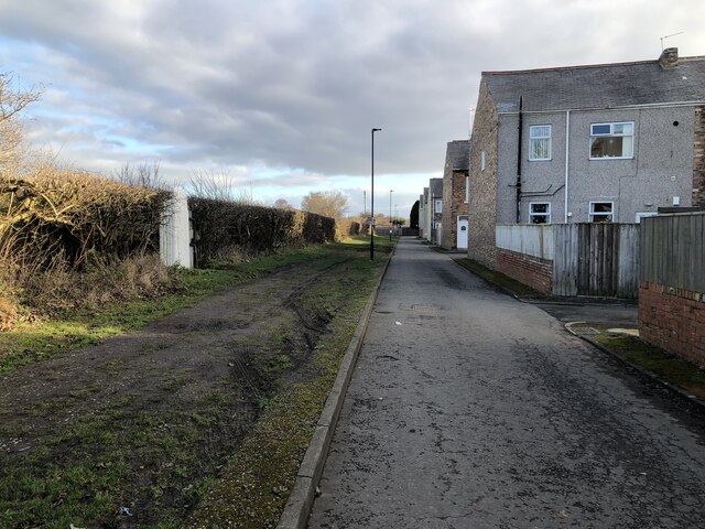
The village of Hazlerigg itself is the main settlement within the parish, with a population of around 2,500 residents. It offers a range of amenities and services, including a primary school, a community center, a pub, and a small convenience store. The village also has a railway station, providing connections to Newcastle and other destinations.
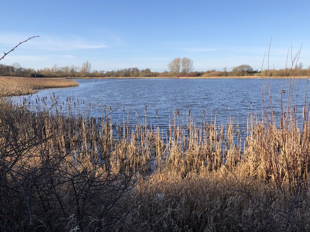
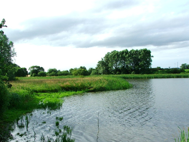
Hazlerigg is surrounded by natural beauty, with several green spaces and parks in the vicinity, such as Hazlerigg Park and Killingworth Lakeside Park. These areas provide opportunities for outdoor recreation, including walking, cycling, and picnicking.
Overall, Hazlerigg offers a peaceful and rural lifestyle within close proximity to the bustling city of Newcastle upon Tyne. Its picturesque surroundings and community-oriented atmosphere make it an attractive place to live for those seeking a balance between countryside living and urban amenities.
If you have any feedback on the listing, please let us know in the comments section below.
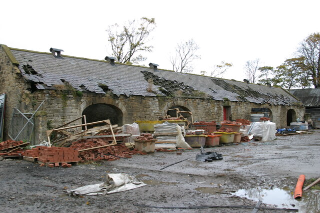
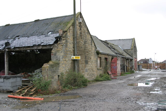
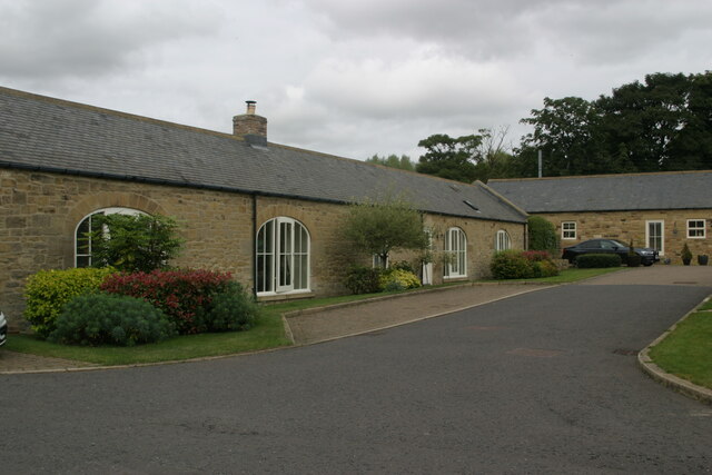
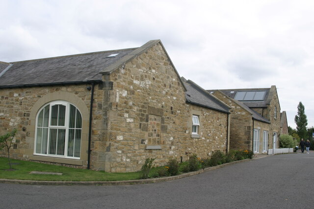
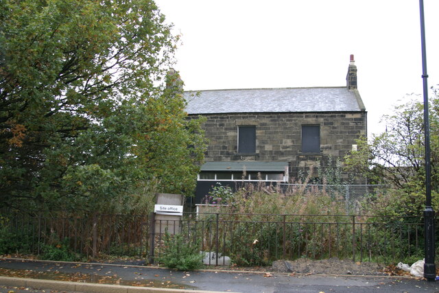
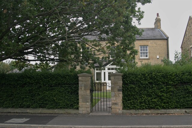
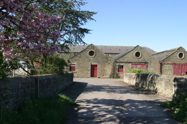
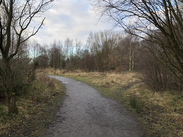
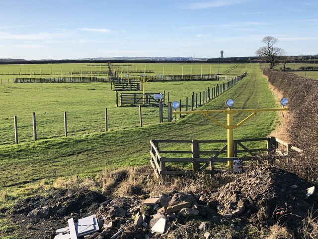
Hazlerigg Images
Images are sourced within 2km of 55.039073/-1.64401 or Grid Reference NZ2271. Thanks to Geograph Open Source API. All images are credited.


Hazlerigg is located at Grid Ref: NZ2271 (Lat: 55.039073, Lng: -1.64401)
Administrative County: Tyne and Wear
District: Newcastle upon Tyne
Police Authority: Northumbria
What 3 Words
///leaps.kept.played. Near Hazlerigg, Tyne & Wear
Nearby Locations
Related Wikis

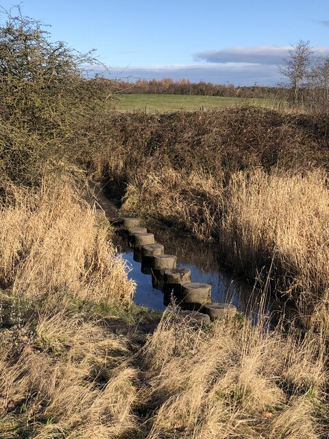
Havannah Nature Reserve
Havannah Nature Reserve lies to the west of the village of Hazlerigg, approximately five miles north of the centre of Newcastle upon Tyne in the north...

Newcastle Great Park
Newcastle Great Park is a new suburb in the north of Newcastle upon Tyne, England. Much of Newcastle Great Park is still under development and is sandwiched...

Hazlerigg
Hazlerigg (often misspelled Hazelrigg) is a village and civil parish north of the City of Newcastle upon Tyne in Tyne and Wear, England. It is about 5...

Parklands, Newcastle upon Tyne
Parklands is an electoral ward of Newcastle upon Tyne in North East England. It encompasses the northern edge of the suburb of Gosforth, north of the Metro...
Nearby Amenities
Located within 500m of 55.039073,-1.64401Have you been to Hazlerigg?
Leave your review of Hazlerigg below (or comments, questions and feedback).