Haworth, Cross Roads and Stanbury
Civil Parish in Yorkshire Bradford
England
Haworth, Cross Roads and Stanbury
Haworth, Cross Roads and Stanbury is a civil parish located in the county of Yorkshire, England. It is situated in the beautiful countryside of the Worth Valley, just a few miles west of the bustling town of Keighley. The parish covers an area of approximately 13 square kilometers and is home to a population of around 7,000 people.
Haworth, Cross Roads and Stanbury are best known for their rich literary heritage, being the former home of the famous Brontë sisters. The village of Haworth, in particular, attracts thousands of visitors each year who come to explore the Brontë Parsonage Museum and immerse themselves in the atmospheric moorland landscapes that inspired the sisters' renowned novels.
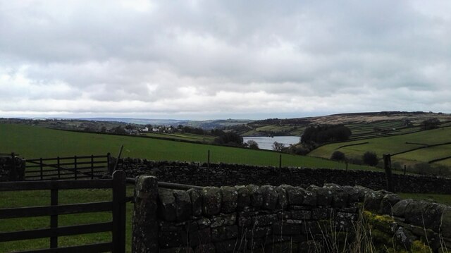
The area is characterized by its charming stone-built houses, narrow cobbled streets, and stunning views across the surrounding countryside. It offers a range of amenities including traditional pubs, quaint tearooms, and unique independent shops selling local crafts and souvenirs.
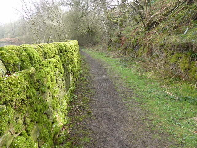
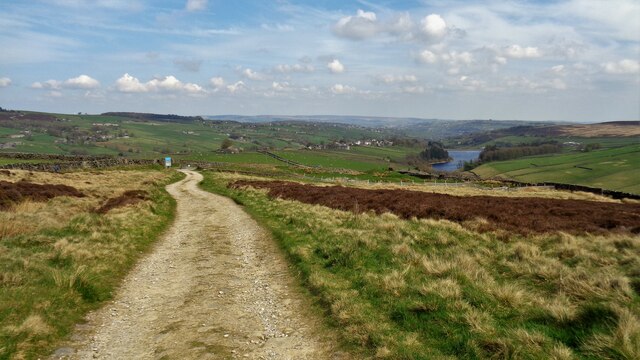
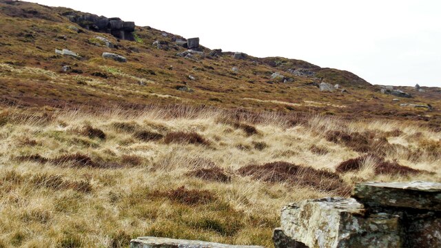
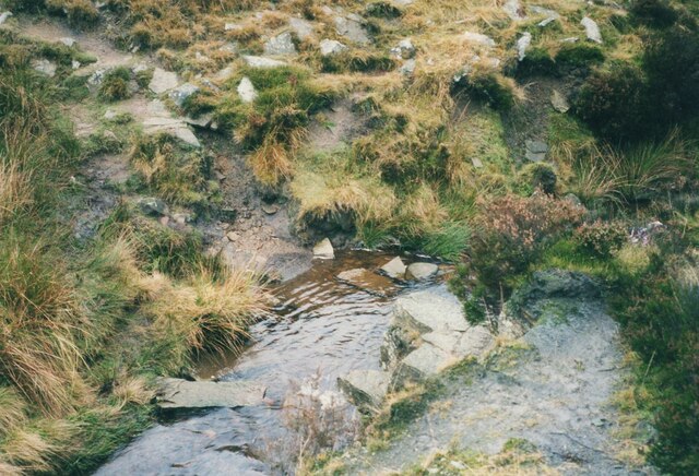
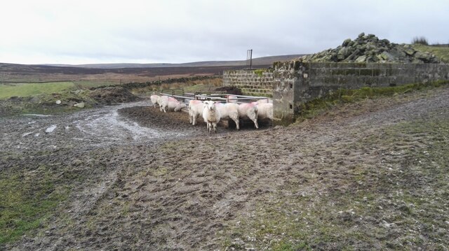
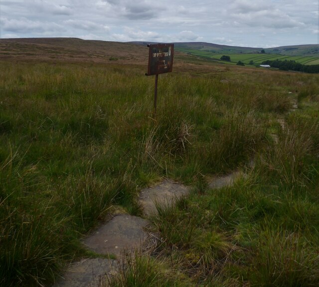
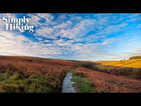
In addition to its literary connections, Haworth, Cross Roads and Stanbury offer a wealth of outdoor activities for nature lovers. The rugged moorland provides excellent opportunities for hiking, cycling, and birdwatching, with popular trails such as the Brontë Way and the Pennine Way passing through the area.
Overall, Haworth, Cross Roads and Stanbury is a picturesque and historic civil parish that seamlessly combines its literary heritage with its natural beauty, making it a must-visit destination for both literature enthusiasts and outdoor enthusiasts alike.
If you have any feedback on the listing, please let us know in the comments section below.
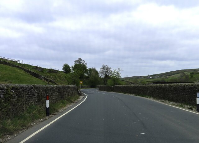
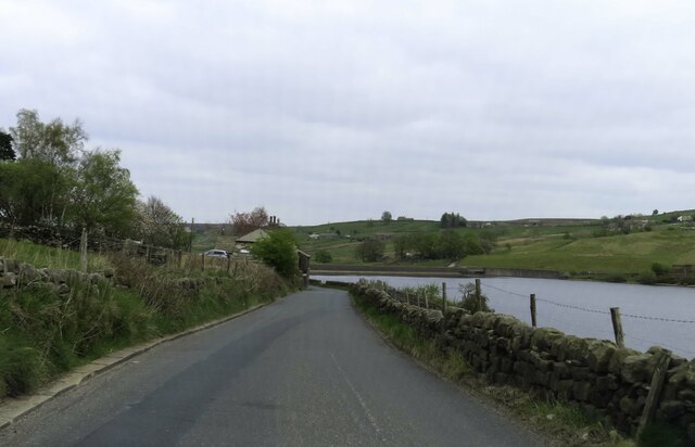
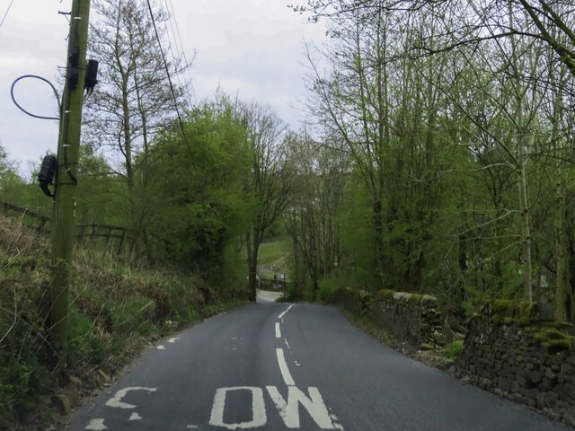
Haworth, Cross Roads and Stanbury Images
Images are sourced within 2km of 53.825397/-1.993616 or Grid Reference SE0036. Thanks to Geograph Open Source API. All images are credited.


Haworth, Cross Roads and Stanbury is located at Grid Ref: SE0036 (Lat: 53.825397, Lng: -1.993616)
Division: West Riding
Administrative County: West Yorkshire
District: Bradford
Police Authority: West Yorkshire
What 3 Words
///oatmeal.stag.mixing. Near Oxenhope, West Yorkshire
Nearby Locations
Related Wikis

Stanbury
Stanbury is a village and former civil parish, now in the parish of Haworth and Stanbury, in the metropolitan borough of the City of Bradford in West Yorkshire...

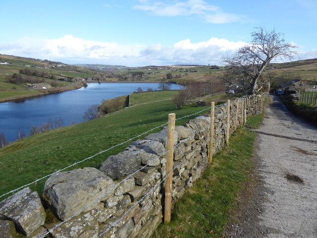
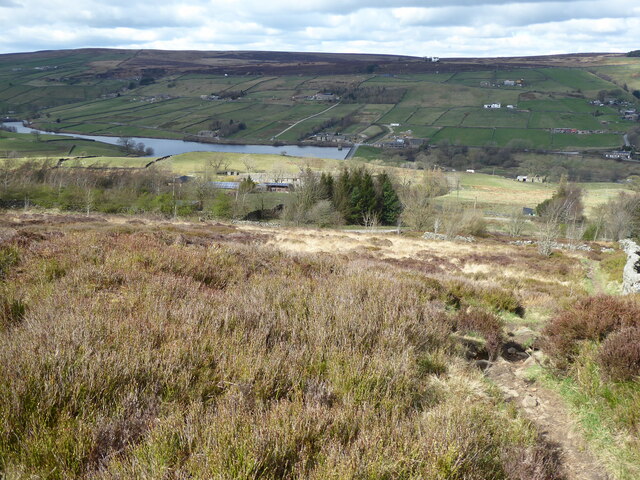
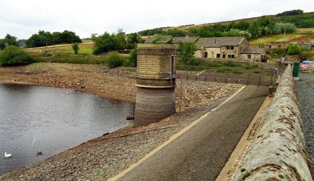
Lower Laithe Reservoir
Lower Laithe Reservoir is a man-made upland reservoir that lies 1.2 miles (2 km) west of Haworth, West Yorkshire, England. The reservoir was initially...

Scar Top
Scar Top is a farming hamlet near the tourist village of Haworth in the City of Bradford metropolitan borough, West Yorkshire in England. It is in the...

Ponden Reservoir
Ponden Reservoir is an artificial upland lake in the Worth Valley, near Stanbury, West Yorkshire, England. Ponden was built as a compensation reservoir...
Related Videos

I hiked the first day of snow in England 2023 | Haworth, England | A Winter Virtual Hiking Adventure
It's that time of year when the temperature drops and the trails turn white and crunchy! I headed off at sunrise this morning for a ...
A Virtual Hike To Bronte Waterfall
This weeks hike takes you into the home of the Bronte Sisters and into the setting of Wuthering heights. I hope you enjoy this short ...


A Photo Walk to Bronte Waterfalls, with a surprise ending !
In this photo walk we visit Bronte Waterfalls, near Howarth West Yorkshire. This is a local walk where I lead you along the pathway ...
Nearby Amenities
Located within 500m of 53.825397,-1.993616Have you been to Haworth, Cross Roads and Stanbury?
Leave your review of Haworth, Cross Roads and Stanbury below (or comments, questions and feedback).