Hawksworth
Civil Parish in Nottinghamshire Rushcliffe
England
Hawksworth

Hawksworth is a civil parish located in the county of Nottinghamshire, England. It is situated in the district of Rushcliffe, approximately 10 miles southwest of the city of Nottingham. The parish covers an area of around 3 square miles and is bordered by the parishes of Thoroton, Flintham, and Scarrington.
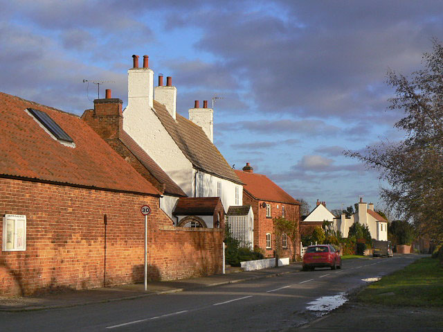
Hawksworth is a rural area known for its picturesque countryside and charming villages. The landscape is dominated by rolling hills, open fields, and woodland areas, providing ample opportunities for outdoor activities such as hiking, cycling, and bird watching. The River Smite also runs through the parish, adding to its natural beauty.
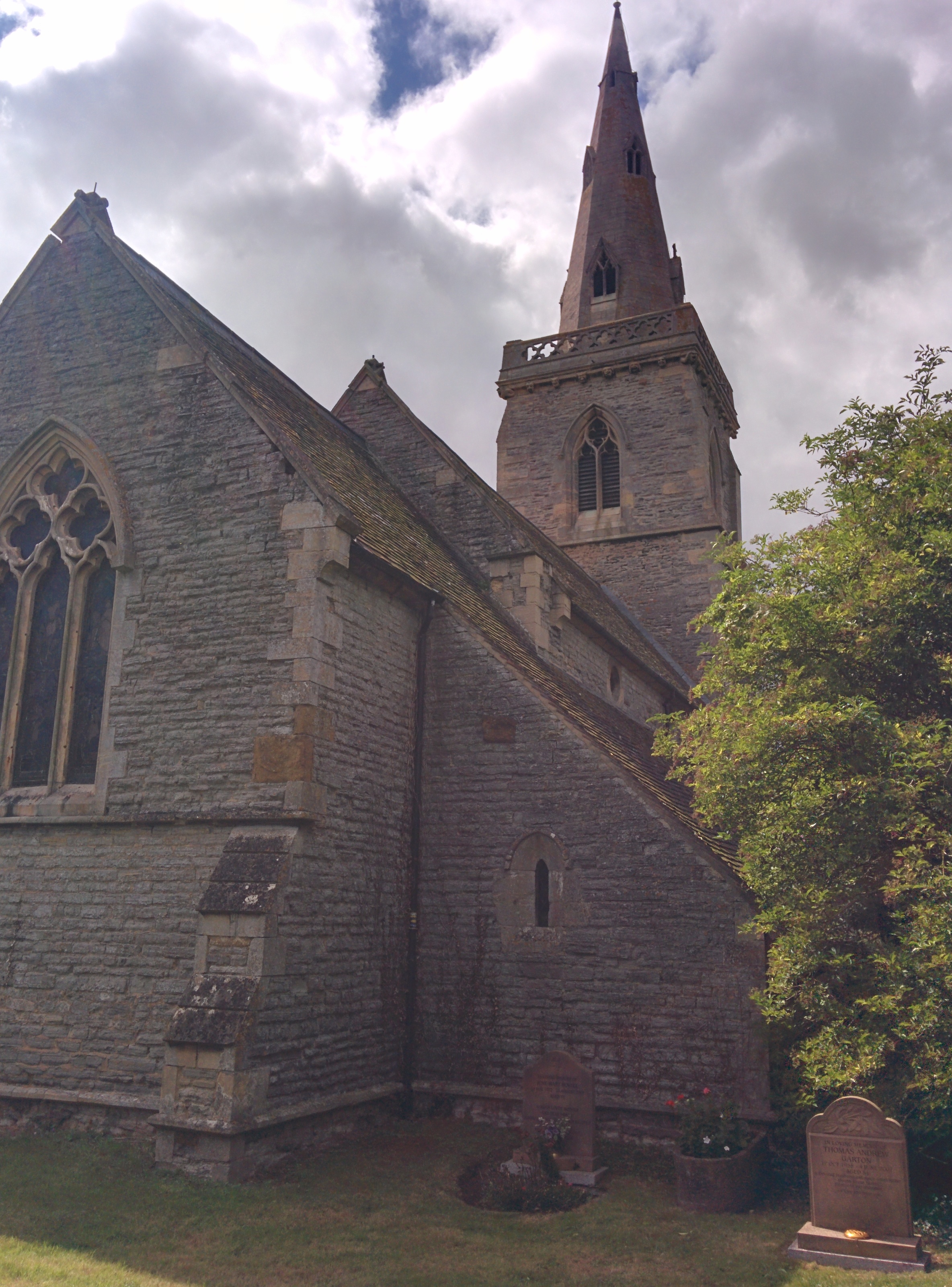
The parish is home to a small population of around 100 residents, living mainly in traditional stone cottages and farmhouses. The community is tight-knit and friendly, with a strong sense of local pride. The parish church, dedicated to St. Mary Magdalene, is a prominent feature in the area and serves as a focal point for community events.
Despite its small size, Hawksworth has a rich history dating back to medieval times. The remains of a medieval moated site, known as Hawksworth Castle, can still be seen in the area. Additionally, there are several listed buildings, including Hawksworth Hall and the Old Rectory, that showcase the architectural heritage of the parish.
Overall, Hawksworth offers a tranquil and idyllic setting for those seeking a peaceful countryside retreat. Its natural beauty, historic landmarks, and close-knit community make it a truly special place to live or visit.
If you have any feedback on the listing, please let us know in the comments section below.
Hawksworth Images
Images are sourced within 2km of 52.982485/-0.877679 or Grid Reference SK7543. Thanks to Geograph Open Source API. All images are credited.


Hawksworth is located at Grid Ref: SK7543 (Lat: 52.982485, Lng: -0.877679)
Administrative County: Nottinghamshire
District: Rushcliffe
Police Authority: Nottinghamshire
What 3 Words
///pleaser.grow.monopoly. Near Aslockton, Nottinghamshire
Nearby Locations
Related Wikis

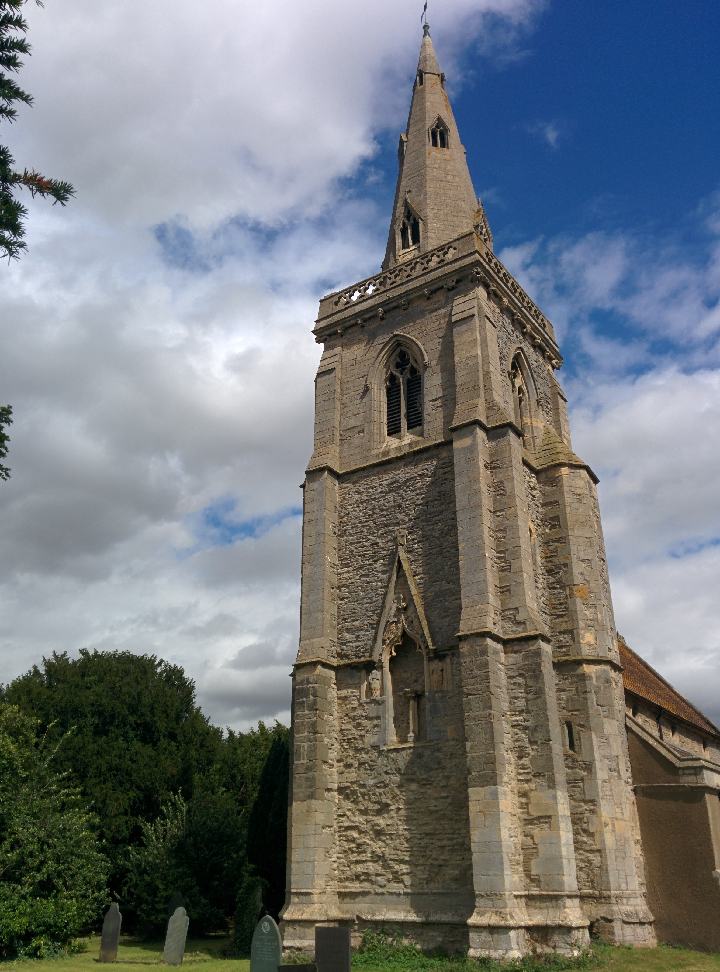
Church of St Mary and All Saints, Hawksworth
The Church of St Mary and All Saints, Hawksworth is the Church of England parish church in Hawksworth, Nottinghamshire. It is Grade II* listed by the Department...

Hawksworth, Nottinghamshire
Hawksworth is an English conservation village and civil parish in the Rushcliffe borough of Nottinghamshire. It lies 10 miles (16 km) south of Newark-on...
St Helena's Church, Thoroton
St Helena's Church, Thoroton is the Church of England parish church of Thoroton, Nottinghamshire, England. The building is Grade I listed by the Department...
Flintham
Flintham is a village and civil parish in the Rushcliffe district in Nottinghamshire, 7 miles (11 km) from Newark-on-Trent and opposite RAF Syerston on...
Thoroton
Thoroton is a small English parish in the borough of Rushcliffe, Nottinghamshire, with a population of 112. The village has conservation area status. Its...
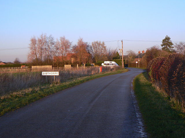
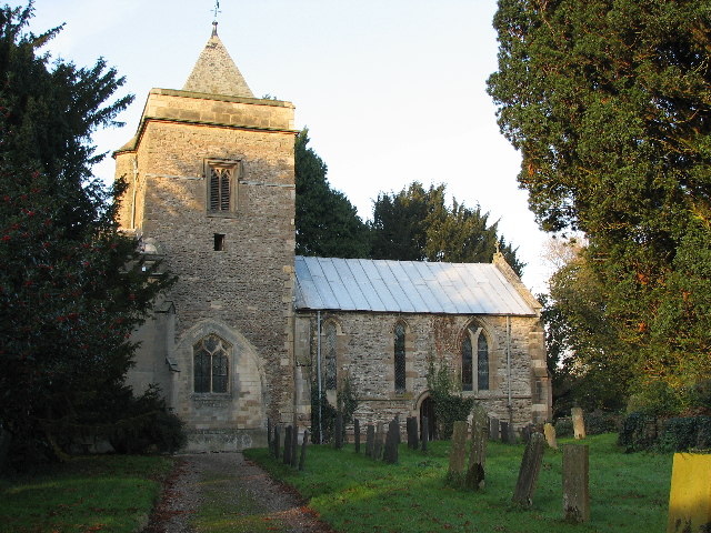
Sibthorpe
Sibthorpe is a village and civil parish in the borough of Rushcliffe, in Nottinghamshire, England. There is no parish council, only a parish meeting....
Screveton
Screveton (pronounced locally "Screveeton" or "Screeton") is an English parish and village in the Rushcliffe borough of Nottinghamshire, with about 100...

Church of St John of Beverley, Scarrington
The Church of St John of Beverley is a 13th-century parish church of the Church of England, in the village of Scarrington, Nottinghamshire. It has been...
Nearby Amenities
Located within 500m of 52.982485,-0.877679Have you been to Hawksworth?
Leave your review of Hawksworth below (or comments, questions and feedback).