Bromsash

Settlement in Herefordshire

England

Bromsash

Ripening wheat Another year, another crop. See <a href="https://www.geograph.org.uk/photo/6454994">SO6322 : Rape field and footpath</a>.
Ripening wheat Credit: Jonathan Billinger

Bromsash is a small village located in the county of Herefordshire, England. Situated in the western part of the county, it is nestled in the beautiful countryside, surrounded by rolling hills and picturesque landscapes. The village is part of the parish of Ross-on-Wye, which is approximately six miles away.

With a population of less than 200 residents, Bromsash is a tight-knit community that offers a tranquil and peaceful atmosphere. The village consists mainly of traditional stone-built houses, giving it a charming and timeless character. The local church, St. Anne's, is a prominent feature in the village, displaying stunning architecture and a rich history.

Despite its small size, Bromsash has a strong sense of community spirit and hosts various events throughout the year, including summer fetes and Christmas celebrations. The village also has a community hall that serves as a hub for social gatherings and activities.

The surrounding area offers plenty of opportunities for outdoor enthusiasts, with numerous walking and cycling trails nearby. The Wye Valley, a designated Area of Outstanding Natural Beauty, is within easy reach, offering stunning views and a range of outdoor activities such as canoeing and fishing.

For amenities and services, residents of Bromsash have easy access to the nearby town of Ross-on-Wye, which provides a wider range of shops, restaurants, and schools. The village is well-connected to major transport links, with the A40 road passing through Ross-on-Wye, providing convenient access to other parts of Herefordshire and beyond.

If you have any feedback on the listing, please let us know in the comments section below.
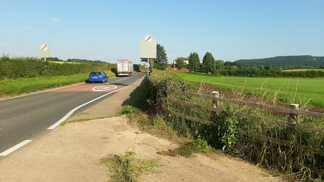
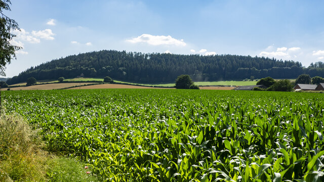
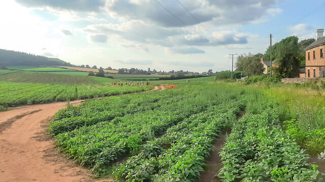
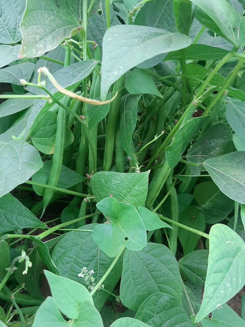
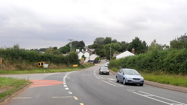
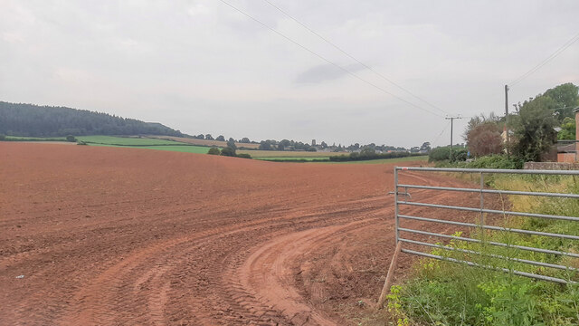
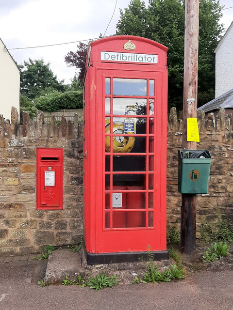
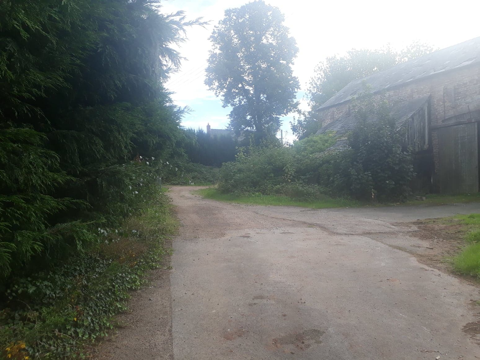
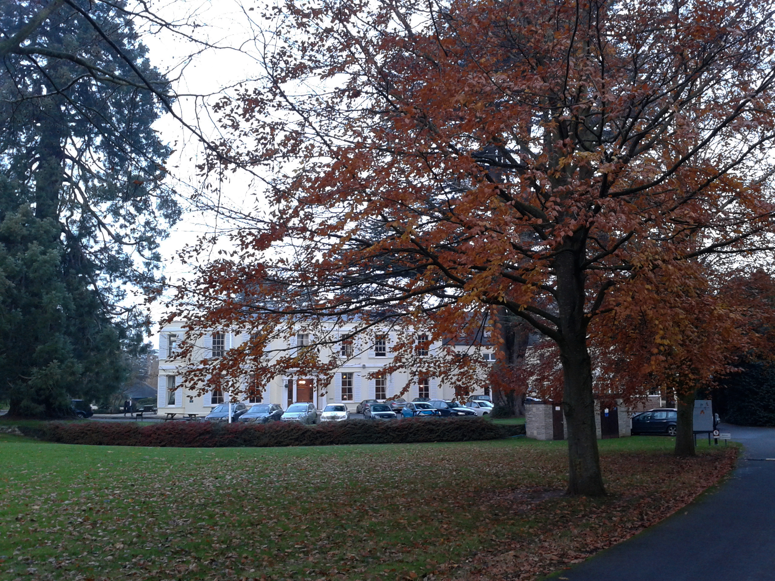
Bromsash Images

Images are sourced within 2km of 51.915131/-2.5121798 or Grid Reference SO6424. Thanks to Geograph Open Source API. All images are credited.

Ripening wheat Another year, another crop. See <a href="https://www.geograph.org.uk/photo/6454994">SO6322 : Rape field and footpath</a>.
Ripening wheat
Another year, another crop. See SO6322 : Rape field and footpath.
Footpath to Bromsash Photo adjacent to the A40.
Footpath to Bromsash
Photo adjacent to the A40.
Weston village hall Functioning as a polling station for the local elections of 2021.
Weston village hall
Functioning as a polling station for the local elections of 2021.
Weston under Penyard primary school A Church of England school.
Weston under Penyard primary school
A Church of England school.
Weston playing field Sports ground next to the village hall.
Weston playing field
Sports ground next to the village hall.
Village housing, Weston under Penyard At the end of School Lane.
Village housing, Weston under Penyard
At the end of School Lane.
Oak and track First visit to this rural scene since 2013; <a href="https://www.geograph.org.uk/photo/3479162">SO6522 : Farm track and footpath</a>.
Oak and track
First visit to this rural scene since 2013; SO6522 : Farm track and footpath.
Barn in a cornfield Crop of wheat approaching harvest.
Barn in a cornfield
Crop of wheat approaching harvest.
Diverging tramlines A wheat field in early August.
Diverging tramlines
A wheat field in early August.
Track to Burton Court A bright August morning after a rainy night.
Track to Burton Court
A bright August morning after a rainy night.
Fields of gold A fine crop of wheat approaching harvest in early August.
Fields of gold
A fine crop of wheat approaching harvest in early August.
A40 west of Weston Looking east towards Gloucester.
A40 west of Weston
Looking east towards Gloucester.
View to Penyard Hill Penyard Hill and Wood viewed from across a large maize field to the east of Weston.
View to Penyard Hill
Penyard Hill and Wood viewed from across a large maize field to the east of Weston.
Harvesting beans at Ryeford The crop of french beans is being harvested on this Saturday evening.
Weston church in the distance.
Harvesting beans at Ryeford
The crop of french beans is being harvested on this Saturday evening. Weston church in the distance.
French beans A detail of the crop being harvested in <a href="https://www.geograph.org.uk/photo/6954011">SO6422 : Harvesting beans at Ryeford</a>.
French beans
A detail of the crop being harvested in SO6422 : Harvesting beans at Ryeford.
A40 Ryeford bends At the Pontshill (left) turn.
A40 Ryeford bends
At the Pontshill (left) turn.
After the beans Just over two weeks after <a href="https://www.geograph.org.uk/photo/6954011">SO6422 : Harvesting beans at Ryeford</a> and the field has been harvested, ploughed and cultivated ready for the next crop.
After the beans
Just over two weeks after SO6422 : Harvesting beans at Ryeford and the field has been harvested, ploughed and cultivated ready for the next crop.
Defibrillator station, Weston under Penyard Probably the best use of a redundant phone box.
Defibrillator station, Weston under Penyard
Probably the best use of a redundant phone box.
Show me another place!

Bromsash is located at Grid Ref: SO6424 (Lat: 51.915131, Lng: -2.5121798)

Unitary Authority: County of Herefordshire

Police Authority: West Mercia

What 3 Words

///limiting.puncture.grapes. Near Linton, Herefordshire

Nearby Locations

Bromsash

Related Wikis

Ariconium

Ariconium was a road station of Roman Britain mentioned in Iter XIII of the Iter Britanniarum of the Antonine Itineraries. It was located at Bury Hill...

Burton Court, Linton

Burton Court is a grade II listed, large country house near Linton, Penyard, Herefordshire, England.The house is of brick-faced stone, with five bays....

Linton (near Ross-on-Wye)

Linton is a village and civil parish in south-east Herefordshire, England, approximately 3 miles (5 km) east of Ross-on-Wye. The village church of St Mary...

Weston under Penyard Halt railway station

Weston under Penyard Halt railway station is a disused wood built railway station that served the village of Weston under Penyard in Herefordshire on the...

Weston under Penyard

Weston under Penyard is a small village in Herefordshire, England. The population of the civil parish at the 2011 Census was 1,007.It lies on the A40 road...

Penyard House, Ross-on-Wye

Penyard House, Weston under Penyard near Ross-on-Wye is a building of historical significance. It appears to have been built in about 1821 by a wealthy...

Lea, Herefordshire

Lea (or The Lea) is a village and civil parish in the south east of Herefordshire. It lies south-east of Ross-on-Wye and adjoins the boundary of Gloucestershire...

Beavan's Hill

Beavan's Hill is a village in south east Herefordshire, England. The village is situated on the edge of Withymoor Wood, an area of ancient woodland, and...

Nearby Amenities

Located within 500m of 51.915131,-2.5121798
Post Box
Post Box Type: lamp
Ref: HR9 510D
Royal Cypher: EIIR
Royal Cypher Wikidata: Q33102113
Lat/Long: 51.9162329/-2.5130857
Bromsash
Place: hamlet
Lat/Long: 51.9147233/-2.5125609
Ariconium
Historic: city
Is In: Herefordshire
Place: locality
Wikidata: Q4790311
Wikipedia: en:Ariconium
Lat/Long: 51.9123452/-2.5174259
Post Office
Naptan AtcoCode: 2090A19027
Naptan Bearing: W
Naptan BusStopType: CUS
Naptan CommonName: Post Office
Naptan Indicator: adj
Naptan Landmark: N/K
Naptan NaptanCode: herajmwg
Naptan Street: N/K
Naptan Verified: no
Source: naptan_import
Lat/Long: 51.9150129/-2.5115851
Post Office
Naptan AtcoCode: 2090A19029
Naptan Bearing: E
Naptan BusStopType: CUS
Naptan CommonName: Post Office
Naptan Indicator: opp
Naptan Landmark: N/K
Naptan NaptanCode: herajmwj
Naptan Street: N/K
Naptan Verified: no
Source: naptan_import
Lat/Long: 51.9152104/-2.5116601
Generator Method: photovoltaic
Generator Output Electricity: yes
Generator Source: solar
Generator Type: solar_photovoltaic_panel
Location: roof
Power: generator
Lat/Long: 51.9151393/-2.5109071
Generator Method: photovoltaic
Generator Output Electricity: yes
Generator Source: solar
Generator Type: solar_photovoltaic_panel
Location: roof
Power: generator
Lat/Long: 51.914231/-2.51003
Location Transition: yes
Power: pole
Lat/Long: 51.9164322/-2.5116299
Bromsash East
Power: pole
Transformer: distribution
Voltage Primary: 11000
Lat/Long: 51.9152592/-2.511005
Power: pole
Lat/Long: 51.9157671/-2.51119
Power: pole
Lat/Long: 51.9164636/-2.5114844
Power: pole
Lat/Long: 51.9165683/-2.5110392
Power: pole
Lat/Long: 51.9169459/-2.5094231
Power: pole
Lat/Long: 51.9172379/-2.508133
Power: pole
Lat/Long: 51.9175047/-2.5069783
Power: pole
Lat/Long: 51.9108006/-2.5138461
Power: pole
Lat/Long: 51.9113363/-2.5149357
Power: pole
Lat/Long: 51.9117587/-2.5157726
Power: pole
Lat/Long: 51.9122023/-2.516703
Power: pole
Lat/Long: 51.912799/-2.5175569
Power: pole
Lat/Long: 51.9134099/-2.5184132
Power: pole
Lat/Long: 51.9156373/-2.5187767
Power: pole
Lat/Long: 51.9162229/-2.5179103
Power: pole
Lat/Long: 51.9168928/-2.5168971
Power: pole
Lat/Long: 51.9168131/-2.5159644
Bromsash Bungalow
Power: pole
Transformer: distribution
Voltage Primary: 11000
Lat/Long: 51.9168822/-2.514514
Power: pole
Lat/Long: 51.9190639/-2.5152502
Power: pole
Lat/Long: 51.918575/-2.5151845
Bromsash House
Power: pole
Transformer: distribution
Voltage Primary: 11000
Lat/Long: 51.9182971/-2.5155754
Power: pole
Lat/Long: 51.9175609/-2.5150417
Power: pole
Lat/Long: 51.9162912/-2.5139433
Bromsash
Power: pole
Transformer: distribution
Voltage Primary: 11000
Lat/Long: 51.9150003/-2.5132459
Power: pole
Lat/Long: 51.915301/-2.5132728
Power: pole
Lat/Long: 51.915655/-2.5132828
Power: pole
Lat/Long: 51.9166783/-2.5143322
Ivylea
Location Transition: yes
Power: pole
Transformer: distribution
Voltage Primary: 11000
Lat/Long: 51.9165865/-2.5132446
The data included in this document is from www.openstreetmap.org. The data is made available under ODbL.

Have you been to Bromsash?

Leave your review of Bromsash below (or comments, questions and feedback).