Hatherton
Civil Parish in Staffordshire South Staffordshire
England
Hatherton
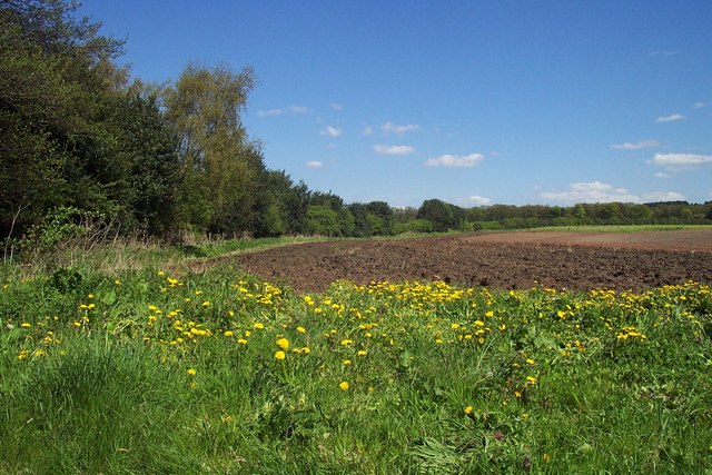
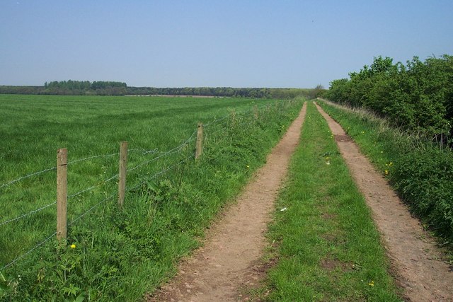
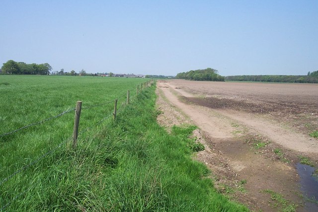
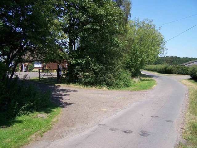
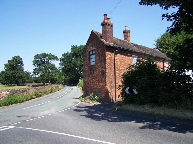
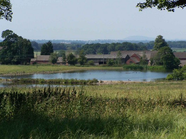
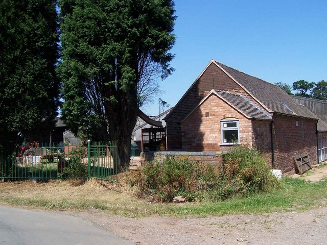
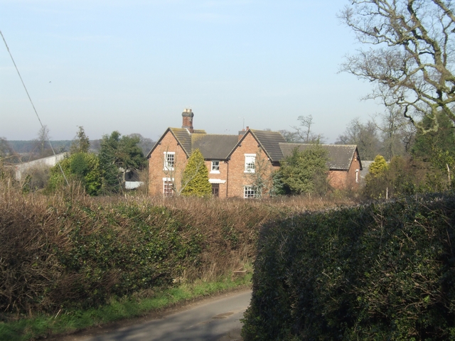
Hatherton is a civil parish located in the county of Staffordshire, England. Situated approximately 4 miles southeast of the town of Cannock, it encompasses an area of about 2.5 square miles. The parish is predominantly rural, characterized by open fields, farmland, and scattered residential properties.
The history of Hatherton dates back many centuries, with evidence of human habitation in the area since prehistoric times. The name "Hatherton" is believed to have originated from the Old English words "hæth," meaning heathland, and "tun," meaning settlement or enclosure.
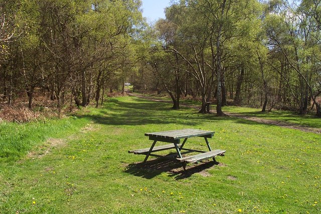
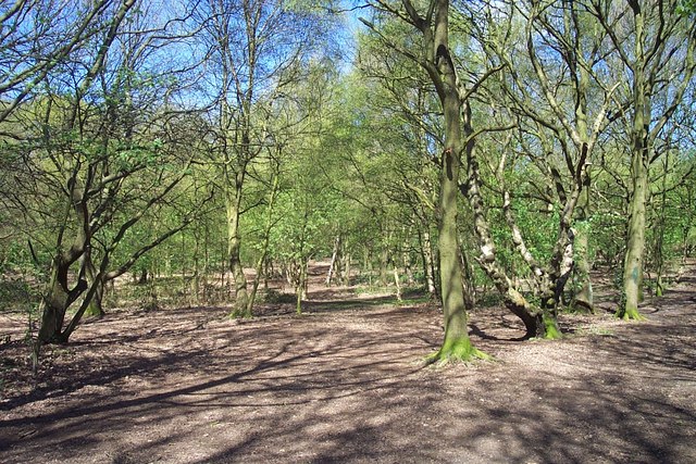
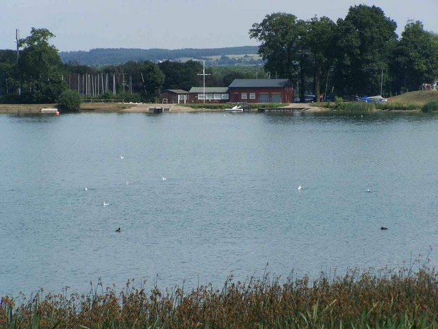
Today, Hatherton is a small and close-knit community, with a population of around 400 residents. The parish is known for its peaceful and picturesque countryside, attracting visitors who enjoy outdoor activities such as walking, cycling, and horse riding. The nearby Cannock Chase Area of Outstanding Natural Beauty offers additional recreational opportunities, including nature trails and wildlife spotting.
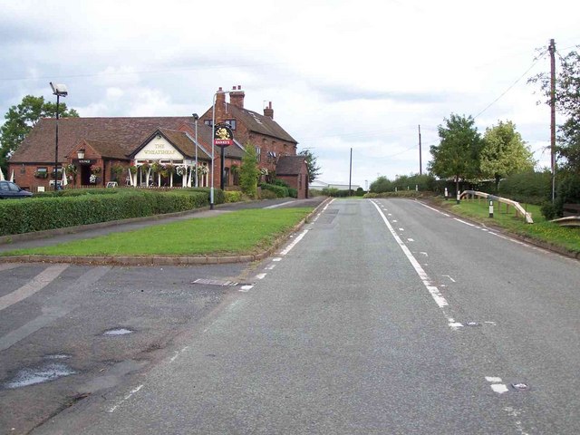
While Hatherton lacks significant commercial development, there are a handful of local businesses and amenities catering to the needs of the residents. These include a village hall, a small convenience store, and a pub, which serves as a social hub for the community.
Overall, Hatherton offers a tranquil and idyllic setting for those seeking a rural lifestyle, with its natural beauty, friendly community, and easy access to the amenities of nearby towns.
If you have any feedback on the listing, please let us know in the comments section below.
Hatherton Images
Images are sourced within 2km of 52.68784/-2.073288 or Grid Reference SJ9510. Thanks to Geograph Open Source API. All images are credited.


Hatherton is located at Grid Ref: SJ9510 (Lat: 52.68784, Lng: -2.073288)
Administrative County: Staffordshire
District: South Staffordshire
Police Authority: Staffordshire
What 3 Words
///pilots.forget.secret. Near Cannock, Staffordshire
Nearby Locations
Related Wikis

Cannock Hockey Club
Cannock Hockey Club are an English professional field hockey team. They were established in 1905, and are based in the village of Hatherton, near Cannock...

Four Crosses, Staffordshire
Four Crosses in South Staffordshire, Staffordshire, England. Is a scattered hamlet located between Cannock and Wolverhampton. As well as Penkridge and...

Hatherton, Staffordshire
Hatherton is a settlement and civil parish located 3+1⁄4 miles (5.2 km) south-east of Penkridge, and on the western edge of modern-day Cannock, Staffordshire...
Gailey Reservoirs
Gailey Reservoir is a pair of canal feeder reservoirs in South Staffordshire, separated by a dam, and owned by the Canal & River Trust. Gailey Upper Reservoir...
Wedges Mills
Wedges Mills is a small village in the South Staffordshire District in Staffordshire, England, close to the border with Cannock Chase District. The area...
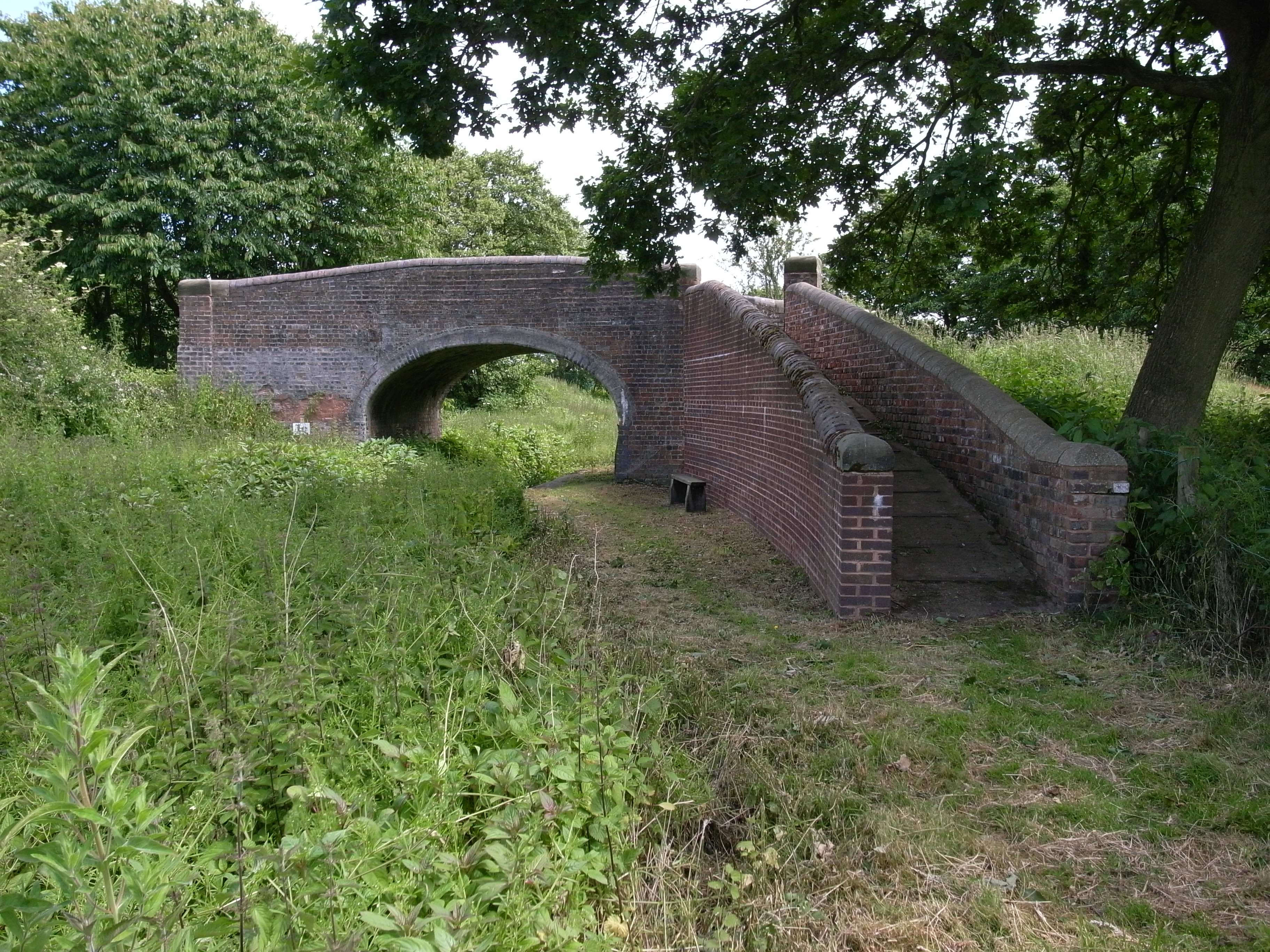
Hatherton Canal
The Hatherton Canal is a derelict branch of the Staffordshire and Worcestershire Canal in south Staffordshire, England. It was constructed in two phases...

Cuttleston
Cuttleston or Cuttlestone is a hundred in the county of Staffordshire, England, located in the centre of that county, south of Stafford. Cuttleston was...
Saredon
Saredon is a civil parish in South Staffordshire district, Staffordshire, England, situated to the north east of Wolverhampton, West Midlands, and to the...
Nearby Amenities
Located within 500m of 52.68784,-2.073288Have you been to Hatherton?
Leave your review of Hatherton below (or comments, questions and feedback).