Haslemere
Civil Parish in Surrey Waverley
England
Haslemere
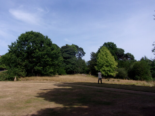
Haslemere is a civil parish located in the county of Surrey, England. It is situated at the southwestern edge of the Surrey Hills, an Area of Outstanding Natural Beauty. The town is surrounded by picturesque countryside, offering breathtaking views and ample opportunities for outdoor activities.
With a population of around 16,000, Haslemere is a vibrant and thriving community. It is well-connected to other towns and cities, being located just off the A3 road and having a train station on the mainline between London Waterloo and Portsmouth. This makes it a popular residential area for commuters.
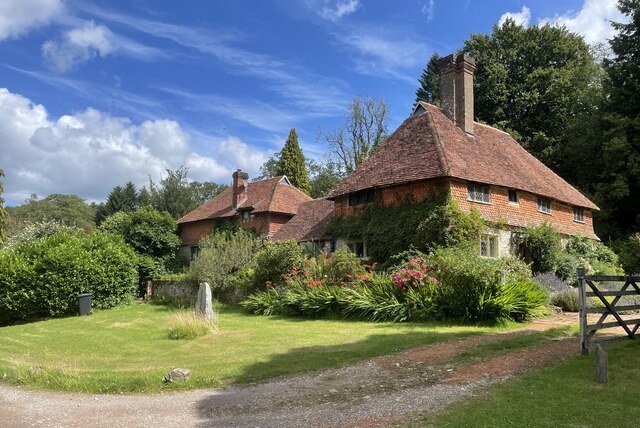
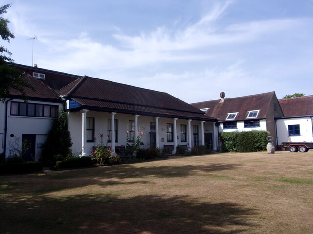
The town itself has a charming and historic character, with many buildings dating back to the 16th and 17th centuries. Haslemere High Street is known for its independent shops, boutiques, and traditional pubs, giving it a unique and quaint charm.
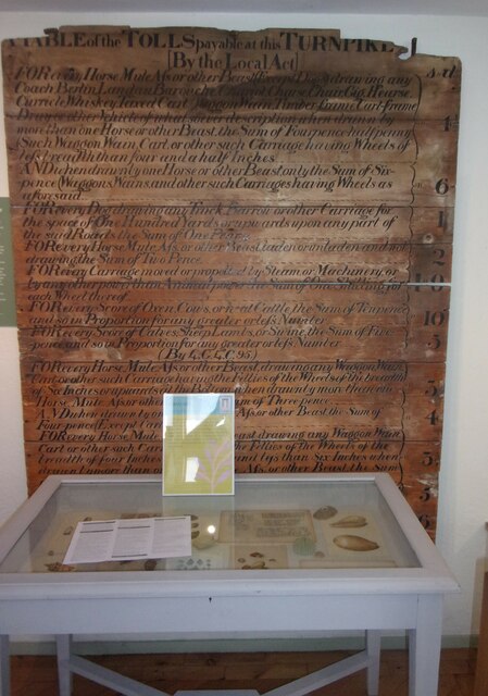
Haslemere is home to several notable landmarks and attractions. The Haslemere Museum showcases the natural and cultural history of the area, while the National Trust-owned Hindhead Commons and the Devil's Punch Bowl offer stunning walking trails and viewpoints. The town also hosts various annual events and festivals, including the Haslemere Charter Fair and the Haslemere Fringe Festival.
The community in Haslemere is active and engaged, with a range of clubs, societies, and sports teams catering to different interests. The town has excellent educational facilities, including both state and independent schools.
Overall, Haslemere is a picturesque and welcoming town, offering a high quality of life for its residents and attracting visitors with its natural beauty and rich history.
If you have any feedback on the listing, please let us know in the comments section below.
Haslemere Images
Images are sourced within 2km of 51.078491/-0.728658 or Grid Reference SU8931. Thanks to Geograph Open Source API. All images are credited.


Haslemere is located at Grid Ref: SU8931 (Lat: 51.078491, Lng: -0.728658)
Administrative County: Surrey
District: Waverley
Police Authority: Surrey
What 3 Words
///halt.jammy.boxer. Near Haslemere, Surrey
Nearby Locations
Related Wikis
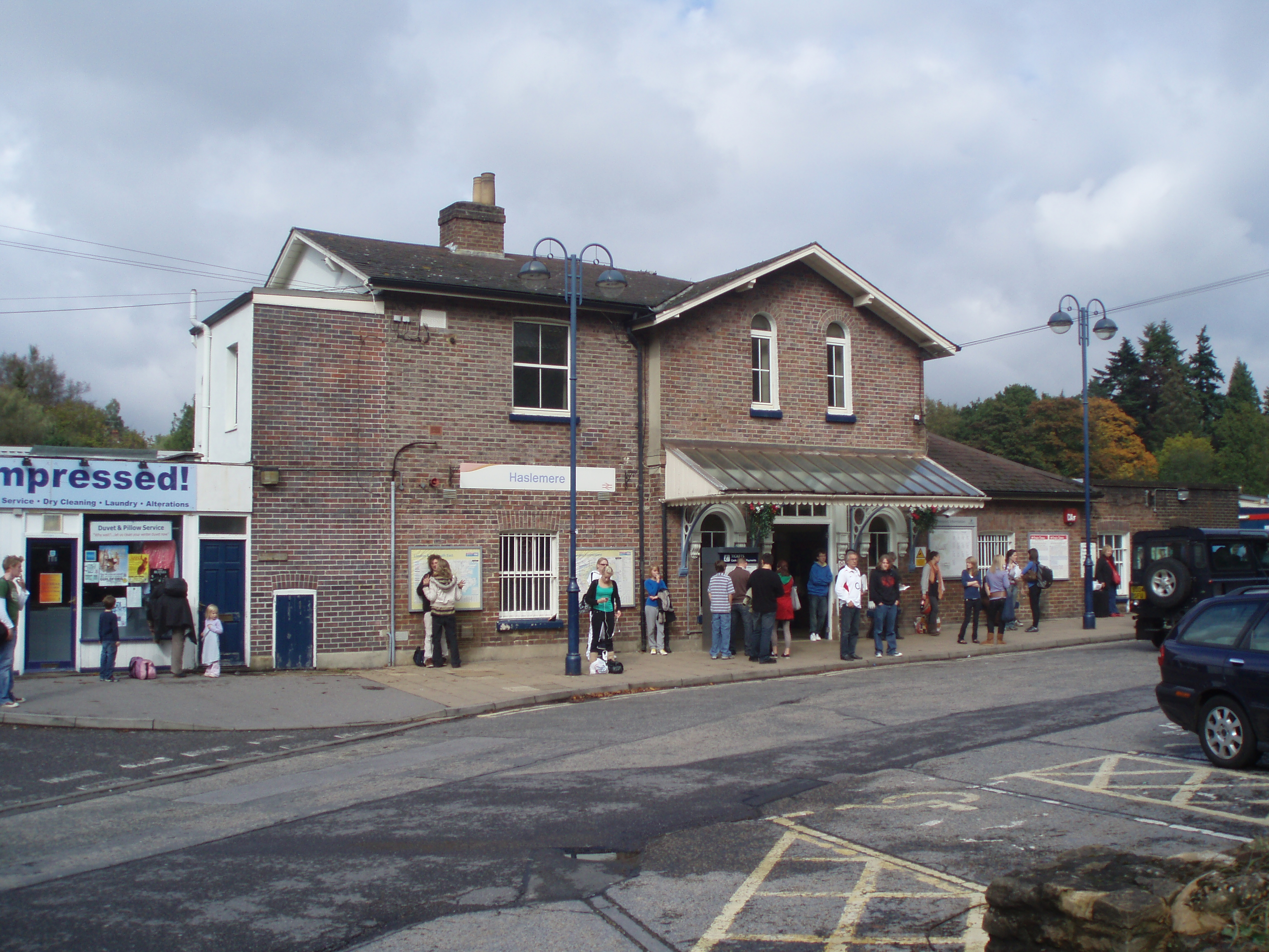
Haslemere railway station
Haslemere railway station is on the Portsmouth Direct Line, serving the town of Haslemere, Surrey, England. It is 42 miles 79 chains (69.2 km) down the...

Haslemere Town Hall
Haslemere Town Hall is a municipal building in the High Street, Haslemere, Surrey, England. The structure, which serves as the meeting place of Haslemere...

The Curry Club
The Curry Club was founded by Pat Chapman in 1982, to further the understanding and appreciation of the cuisines of the Indian subcontinent. In 2007 it...

Haslemere Educational Museum
Haslemere Educational Museum was founded in 1888 by the eminent surgeon Sir Jonathan Hutchinson to display his growing collection of natural history specimens...
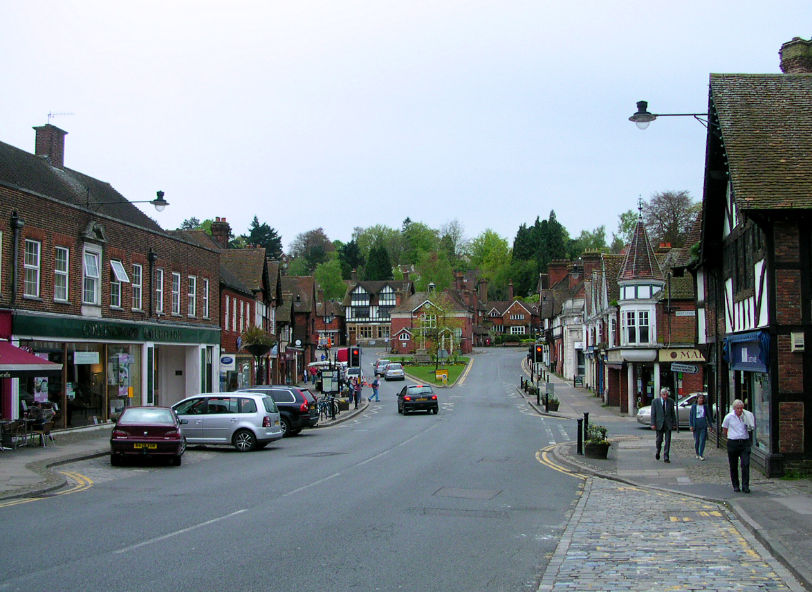
Haslemere
The town of Haslemere () and the villages of Shottermill and Grayswood are in south west Surrey, England, around 38 mi (62 km) south west of London. Together...

Serpent Trail
The Serpent Trail is a 64-mile (103 km) long distance footpath. It runs from Haslemere to Petersfield, which are 11 miles apart in a straight line, by...
Haste Hill
Haste Hill is a hill near Haslemere, Surrey in England which was probably the original settlement of the town of Haslemere. It was used as the site of...
Woolmer Hill
Woolmer Hill is an area of high ground in the south-west corner of Surrey, England in the Borough of Waverley abutting Hampshire to the west and West Sussex...
Nearby Amenities
Located within 500m of 51.078491,-0.728658Have you been to Haslemere?
Leave your review of Haslemere below (or comments, questions and feedback).