Harvington
Civil Parish in Worcestershire Wychavon
England
Harvington

Harvington is a civil parish located in the county of Worcestershire, England. Situated approximately 10 miles east of Worcester, the parish covers an area of around 1.5 square miles. It is home to a small population of around 500 residents.
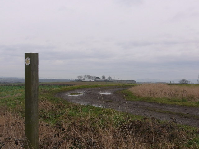
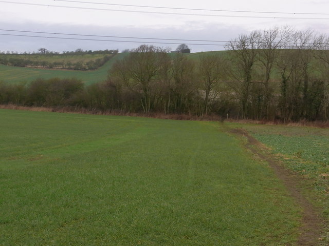
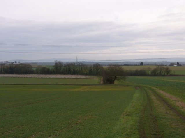
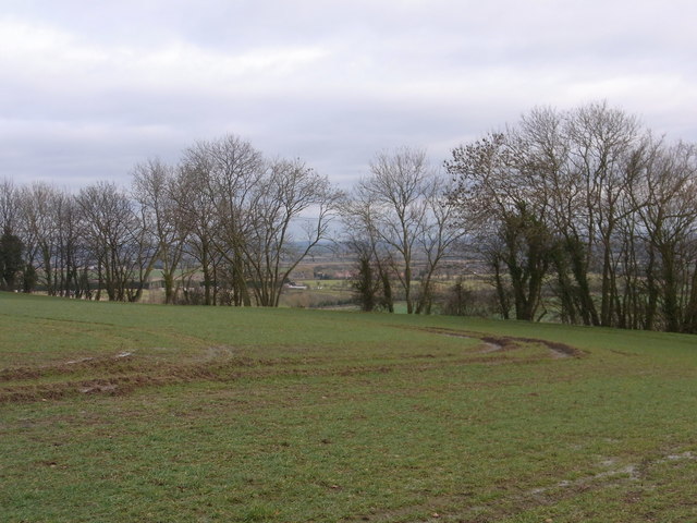
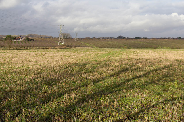
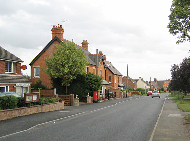
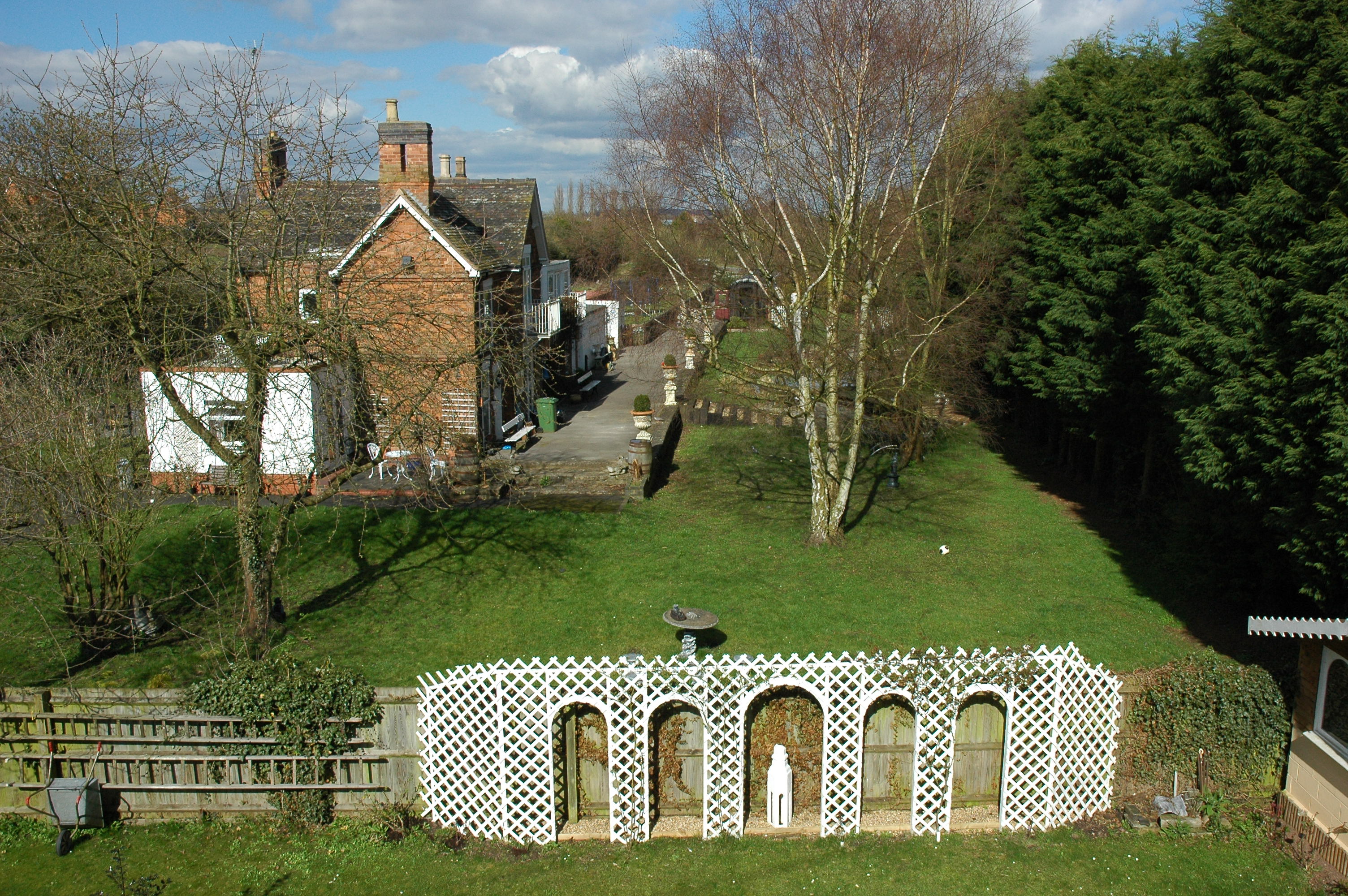
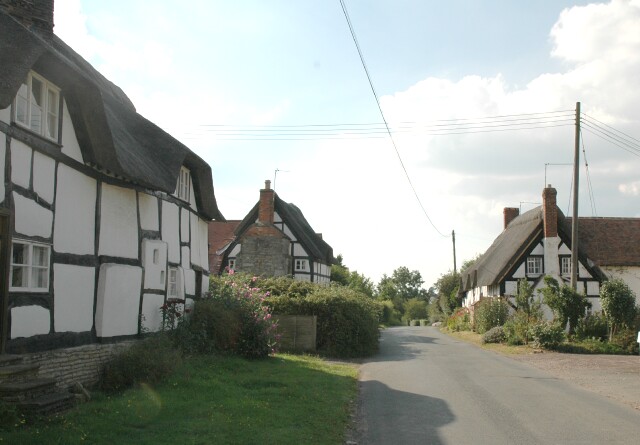
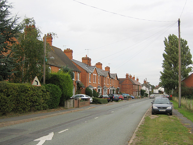
The village of Harvington is known for its picturesque countryside, charming cottages, and historic buildings. The parish is surrounded by scenic farmland and green fields, providing a tranquil and idyllic setting for residents and visitors alike.
One of the main attractions in Harvington is Harvington Hall, a moated medieval and Elizabethan manor house. Built in the late 16th century, the hall is renowned for its unique design and secret priest holes, which were used to hide Catholic priests during times of religious persecution. It is now open to the public and offers guided tours, allowing visitors to explore its rich history and stunning architecture.
In addition to Harvington Hall, the parish is also home to a few small businesses, including a village shop and a pub. The village shop provides essential amenities for the local community, while the pub serves as a gathering place for residents and visitors to enjoy a drink or a meal.
Overall, Harvington is a charming and historic village in Worcestershire, offering a peaceful countryside retreat with a rich heritage and a strong sense of community.
If you have any feedback on the listing, please let us know in the comments section below.
Harvington Images
Images are sourced within 2km of 52.145468/-1.92744 or Grid Reference SP0549. Thanks to Geograph Open Source API. All images are credited.


Harvington is located at Grid Ref: SP0549 (Lat: 52.145468, Lng: -1.92744)
Administrative County: Worcestershire
District: Wychavon
Police Authority: West Mercia
What 3 Words
///scanty.valued.blanket. Near Harvington, Worcestershire
Nearby Locations
Related Wikis
Harvington
Harvington is a village near Evesham in Worcestershire, England. Bounded by the River Avon to the south and the Lench Hills to the north, three miles northeast...
Harvington railway station
Harvington railway station was a station in Harvington, Worcestershire, England. The station was opened on 17 September 1866, train services were withdrawn...

Abbot's Salford
Abbot's Salford is the name of a village in the English county of Warwickshire. It is found six miles south of Alcester, about the same distance from Evesham...
Atch Lench
Atch Lench is a village in Worcestershire, England. == External links == Media related to Atch Lench at Wikimedia Commons Atch Lench in the Domesday Book

Ab Lench
Ab Lench is a village and former civil parish, now in the parish of South Lenches, in the Wychavon district, in the county of Worcestershire, England...

Church Lench
Church Lench is a village and former civil parish, now in the parish of South Lenches, in the Wychavon district, in the county of Worcestershire, England...
Salford Priors
Salford Priors is a rural, agricultural village and civil parish about four miles south-west of Alcester, Warwickshire, England. The population of the...
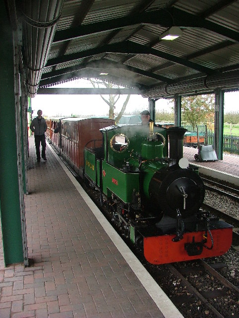
Evesham Vale Light Railway
The Evesham Vale Light Railway is a 15 in (381 mm) gauge railway that operates in Evesham Country Park in Worcestershire, England. == Route == The railway...
Nearby Amenities
Located within 500m of 52.145468,-1.92744Have you been to Harvington?
Leave your review of Harvington below (or comments, questions and feedback).