Hartwell

Civil Parish in Northamptonshire

England

Hartwell

Smart Motorway works - M1 southbound
Smart Motorway works - M1 southbound Credit: Dave Thompson

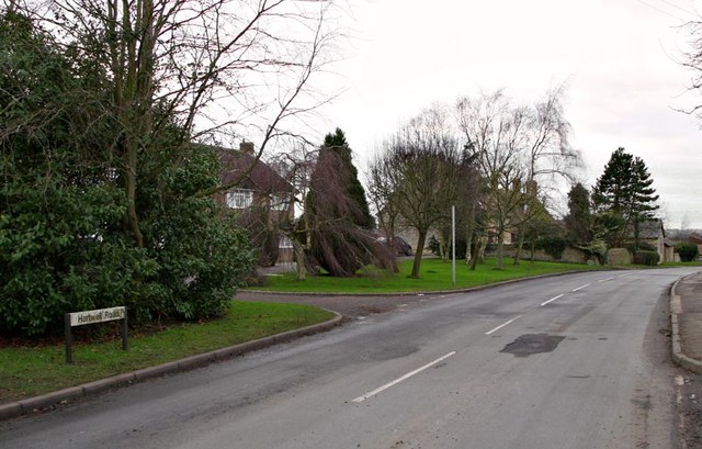
Hartwell is a civil parish located in the county of Northamptonshire, England. Situated approximately 5 miles northwest of the market town of Northampton, Hartwell is a small, picturesque village with a population of around 800 residents.

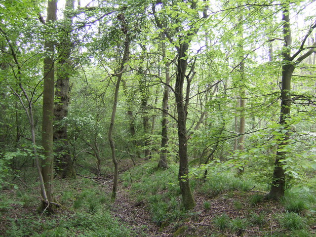
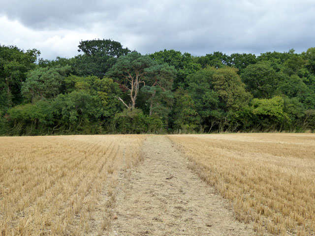
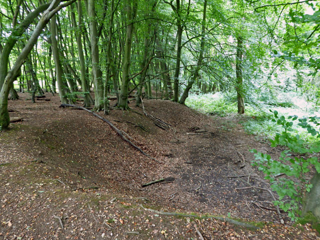
The village is known for its charming rural atmosphere and is surrounded by beautiful countryside, making it a popular destination for those seeking a peaceful and idyllic setting. The parish is predominantly agricultural, with a mix of farmland and woodland areas.

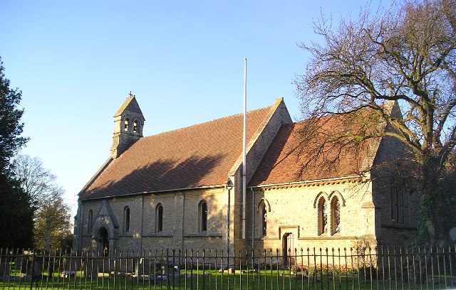
Hartwell is home to a number of historic buildings, including the Grade I listed Hartwell House, a grand country house that dates back to the early 17th century. The house has been converted into a luxury hotel and is known for its elegant architecture and beautiful gardens.

In terms of amenities, Hartwell boasts a primary school, a village hall, and a local pub, providing a sense of community for its residents. The village also benefits from being close to the larger town of Northampton, where residents can access a wider range of services and facilities.

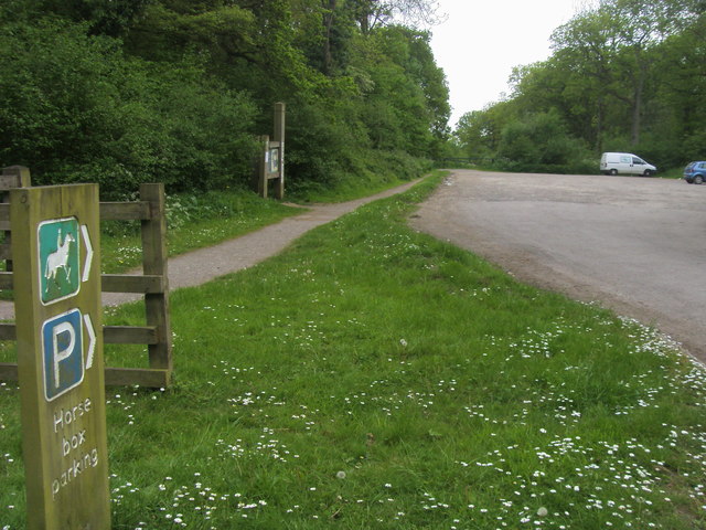
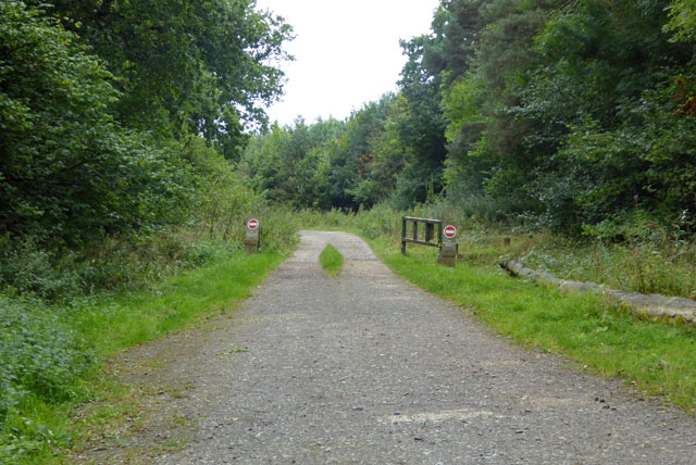
The surrounding area offers a range of outdoor activities, including walking and cycling routes, as well as opportunities for horse riding and fishing. The nearby Pitsford Reservoir provides a popular spot for water sports enthusiasts.

Overall, Hartwell offers a peaceful and charming countryside living experience, with a rich historical heritage and a strong sense of community.

If you have any feedback on the listing, please let us know in the comments section below.

Hartwell Images

Images are sourced within 2km of 52.1433/-0.843511 or Grid Reference SP7950. Thanks to Geograph Open Source API. All images are credited.

Smart Motorway works - M1 southbound
M1 near Hartwell The M1 is a north–south motorway connecting London to Leeds, where it joins the A1(M) near Aberford. It was the first motorway to be completed in the United Kingdom.
The motorway is 193 miles long and was constructed in four phases. Most of the motorway was opened between 1959 and 1968 but the southern end was extended in 1977 and the northern end was extended in 1999.
M1 near Hartwell
The M1 is a north–south motorway connecting London to Leeds, where it joins the A1(M) near Aberford. It was the first motorway to be completed in the United Kingdom. The motorway is 193 miles long and was constructed in four phases. Most of the motorway was opened between 1959 and 1968 but the southern end was extended in 1977 and the northern end was extended in 1999.
Forest Road crossing M1 southbound
Matrix Board - M1 southbound
Forest Road crosses M1 southbound  A moment of unrestricted movement on this notoriously congested motorway. Forest Road is within the district of the City of Milton Keynes.
Forest Road crosses M1 southbound
A moment of unrestricted movement on this notoriously congested motorway. Forest Road is within the district of the City of Milton Keynes.
Variable Message Sign on the M1 near Hanslope Variable message signs (VMS), also sometimes referred to as matrix signs, are electronic traffic signs used on motorways (and some other major routes) to give drivers information about special events and to warn them about traffic congestion, accidents, incidents, roadworks or speed limits on specific sections of the route. They may also suggest (or instruct) drivers to take alternative routes, limit speed, warn of the duration and location of the incidents or just inform of the traffic conditions
Variable Message Sign on the M1 near Hanslope
Variable message signs (VMS), also sometimes referred to as matrix signs, are electronic traffic signs used on motorways (and some other major routes) to give drivers information about special events and to warn them about traffic congestion, accidents, incidents, roadworks or speed limits on specific sections of the route. They may also suggest (or instruct) drivers to take alternative routes, limit speed, warn of the duration and location of the incidents or just inform of the traffic conditions
Accommodation Bridge across the M1 at Spinney Lodge Farm The M1 is a north–south motorway connecting London to Leeds, where it joins the A1(M) near Aberford. It was the first motorway to be completed in the United Kingdom.
The motorway is 193 miles long and was constructed in four phases. Most of the motorway was opened between 1959 and 1968 but the southern end was extended in 1977 and the northern end was extended in 1999.
Accommodation Bridge across the M1 at Spinney Lodge Farm
The M1 is a north–south motorway connecting London to Leeds, where it joins the A1(M) near Aberford. It was the first motorway to be completed in the United Kingdom. The motorway is 193 miles long and was constructed in four phases. Most of the motorway was opened between 1959 and 1968 but the southern end was extended in 1977 and the northern end was extended in 1999.
Car Park on Swan's Way, Salcey Forest A popular car park for walkers, riders and cyclists. The track leads deep into the forest on the less-busy southern side. The forest warden told me that in the evenings (at the right time of year) nightingales can be heard calling.
Car Park on Swan's Way, Salcey Forest
A popular car park for walkers, riders and cyclists. The track leads deep into the forest on the less-busy southern side. The forest warden told me that in the evenings (at the right time of year) nightingales can be heard calling.
Salcey Forest in mid-spring The beeches are leafing up nicely, but no bluebells, more's the pity!
Salcey Forest in mid-spring
The beeches are leafing up nicely, but no bluebells, more's the pity!
Swan's Way Swan's Way start/finish in Salcey Forest
Swan's Way
Swan's Way start/finish in Salcey Forest
Track, Salcey Forest The no entry signs have an added 'No unauthorised vehicles'.
Track, Salcey Forest
The no entry signs have an added 'No unauthorised vehicles'.
Bridleway towards Salcey Forest It was remarkable how stony the field was - quite large lumps of stone were on the track.
Bridleway towards Salcey Forest
It was remarkable how stony the field was - quite large lumps of stone were on the track.
Old pit, Salcey Forest On old maps shown as an old gravel pit, which is not the mineral that immediately springs to mind in these parts. The geological map suggests limestone is more likely.
Old pit, Salcey Forest
On old maps shown as an old gravel pit, which is not the mineral that immediately springs to mind in these parts. The geological map suggests limestone is more likely.
Bridleway This Bridleway is on the Southern edge of the Village of Hartwell. The high ground of the Village can be appreciated from this view.
Bridleway
This Bridleway is on the Southern edge of the Village of Hartwell. The high ground of the Village can be appreciated from this view.
Hartwell Road, Long Street The village of Long Street is shown on the Road Signs as Hartwell,Long Street.
Hartwell Road, Long Street
The village of Long Street is shown on the Road Signs as Hartwell,Long Street.
Rape, footpath, hedge It would be nice if all footpaths along field edges were as clean and neat as this! (Or maybe not?)
A little further down the path is the site of the mediaeval village of Hartwell, now buried under a yellow sea.
Rape, footpath, hedge
It would be nice if all footpaths along field edges were as clean and neat as this! (Or maybe not?) A little further down the path is the site of the mediaeval village of Hartwell, now buried under a yellow sea.
Rape plants Ever wondered what the individual plants look like when mature and in a field situation? No? You do surprise me!
Rape plants
Ever wondered what the individual plants look like when mature and in a field situation? No? You do surprise me!
Footpath to Hartwell End Diagonally through the rape field north of Stonepit Farm.
Footpath to Hartwell End
Diagonally through the rape field north of Stonepit Farm.
Show me another place!

Hartwell is located at Grid Ref: SP7950 (Lat: 52.1433, Lng: -0.843511)

Unitary Authority: West Northamptonshire

Police Authority: Northamptonshire

What 3 Words

///variation.clings.freezing. Near Hartwell, Northamptonshire

Related Wikis

Hartwell, Northamptonshire

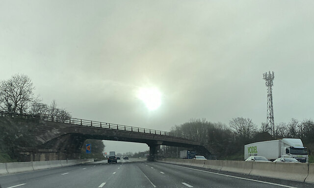
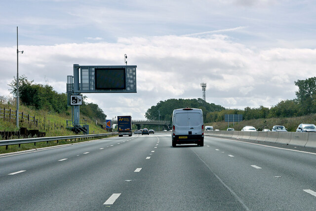
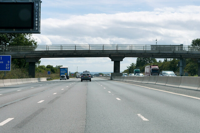
Hartwell is a village and civil parish in West Northamptonshire, England, bordering Buckinghamshire. The village is next to Salcey Forest and the M1 motorway...
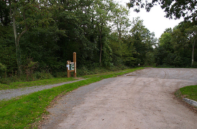
Salcey Forest

Salcey Forest is a fragment of a former medieval hunting forest east of the village of Hartwell, between Northampton and Newport Pagnell in Northamptonshire...

Salcey Green

Salcey Green is an area of farm and wood land within the parish of Hanslope in the Borough of Milton Keynes, England. In 1830 it was the scene of an infamous...

Long Street, Buckinghamshire

Long Street is a hamlet in the parish of Hanslope, in the unitary authority area of the City of Milton Keynes, ceremonial Buckinghamshire, England. It...

Ashton, West Northamptonshire

Ashton is a village in West Northamptonshire about 1 mile (1.6 km) southeast of Roade village close to the Northampton to Milton Keynes A508, ca.3 miles...

Hanslope

Hanslope is a village and civil parish in the unitary authority area of the City of Milton Keynes, Buckinghamshire, England. The village is about 4 miles...

Roade

Roade is a village in Northamptonshire, England. Currently in West Northamptonshire, before local government changes in 2021 it was represented by South...

Roade railway station

Roade was a railway station serving the Northamptonshire village of the same name on the West Coast Main Line. Roade Station opened in 1838 as the principal...

Nearby Amenities

Located within 500m of 52.1433,-0.843511
Barrier: stile
Bicycle: no
Foot: yes
Horse: no
Material: wood
Motor Vehicle: no
Stile: stepover
Lat/Long: 52.142583/-0.8490429
Barrier: stile
Bicycle: no
Foot: yes
Horse: no
Material: wood
Motor Vehicle: no
Stile: stepover
Lat/Long: 52.1421711/-0.8461968
Barrier: stile
Bicycle: no
Foot: yes
Horse: no
Material: wood
Motor Vehicle: no
Stile: stepover
Lat/Long: 52.1435489/-0.8506593
Direction: SSE
Generator Method: photovoltaic
Generator Output Electricity: yes
Generator Solar Modules: 10
Generator Source: solar
Generator Type: solar_photovoltaic_panel
Location: roof
Power: generator
Lat/Long: 52.1476096/-0.8438056
The data included in this document is from www.openstreetmap.org. The data is made available under ODbL.

Have you been to Hartwell?

Leave your review of Hartwell below (or comments, questions and feedback).