Harthill
Civil Parish in Cheshire
England
Harthill
Harthill is a civil parish located in the county of Cheshire, England. It is situated in the eastern part of the county and is bordered by the parishes of Tattenhall and Broxton to the west, and Tilston and Malpas to the north. The village of Harthill is the main settlement within the parish.
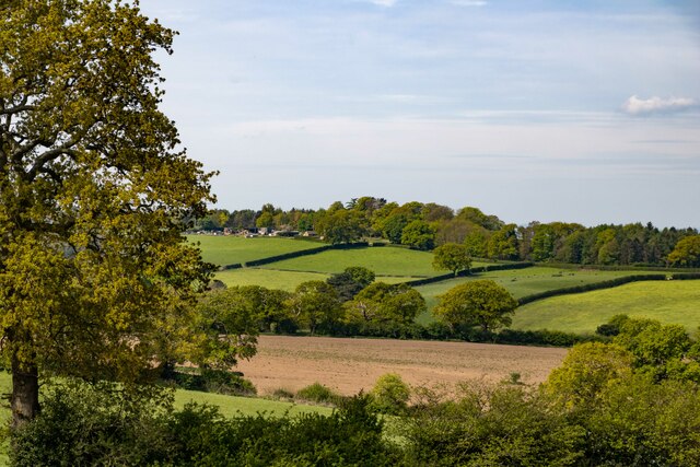
The parish covers an area of approximately 7 square miles and has a population of around 500 people. The landscape of Harthill is predominantly rural, characterized by rolling hills and farmland. The area is known for its scenic beauty, with picturesque views and a peaceful atmosphere.
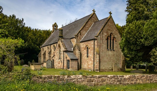
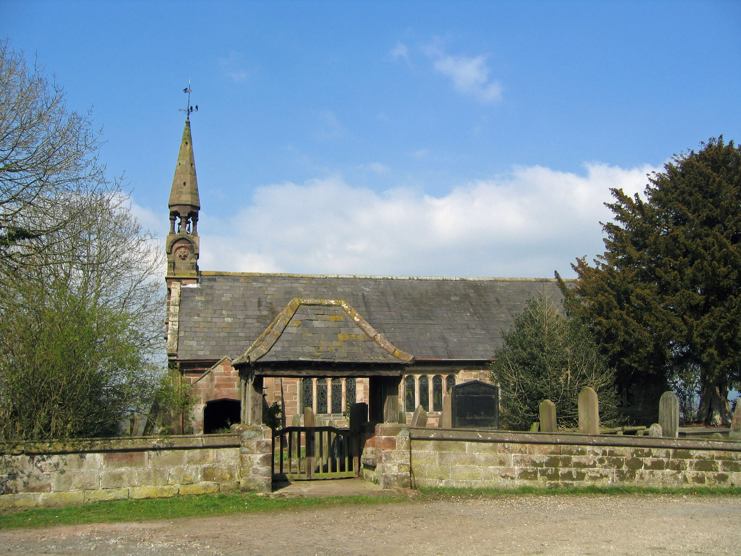
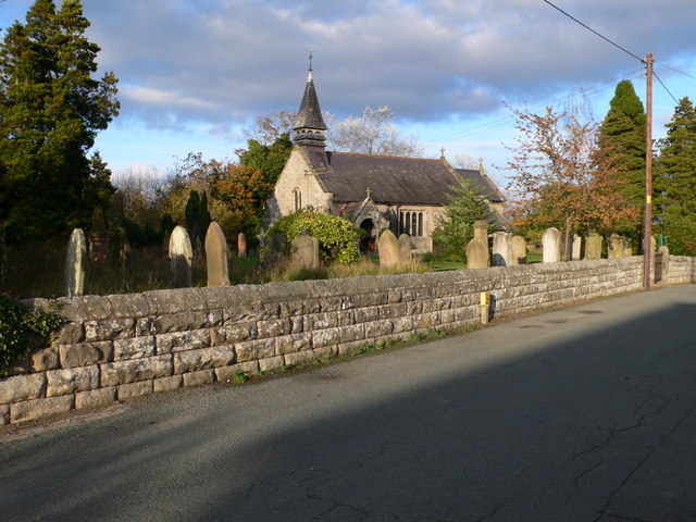
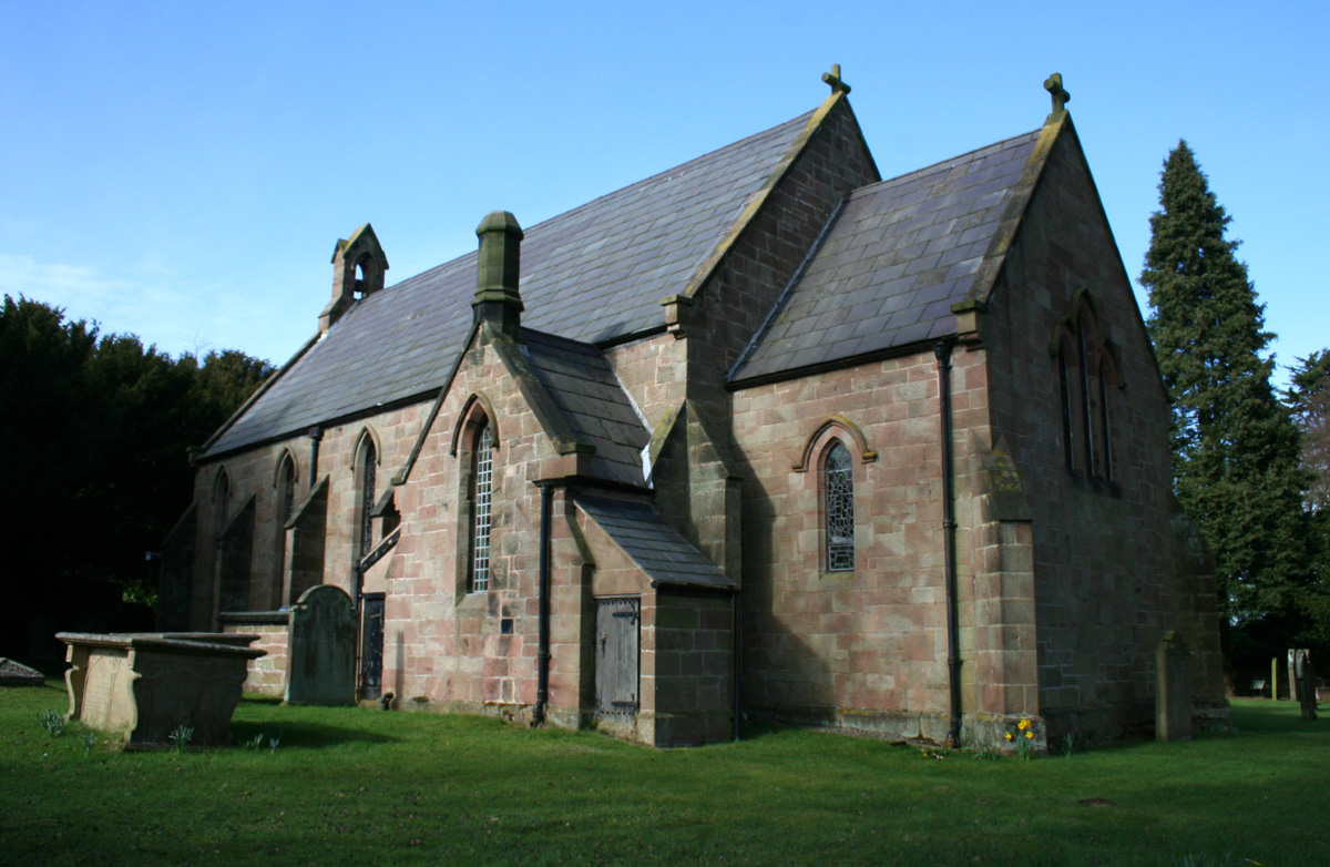
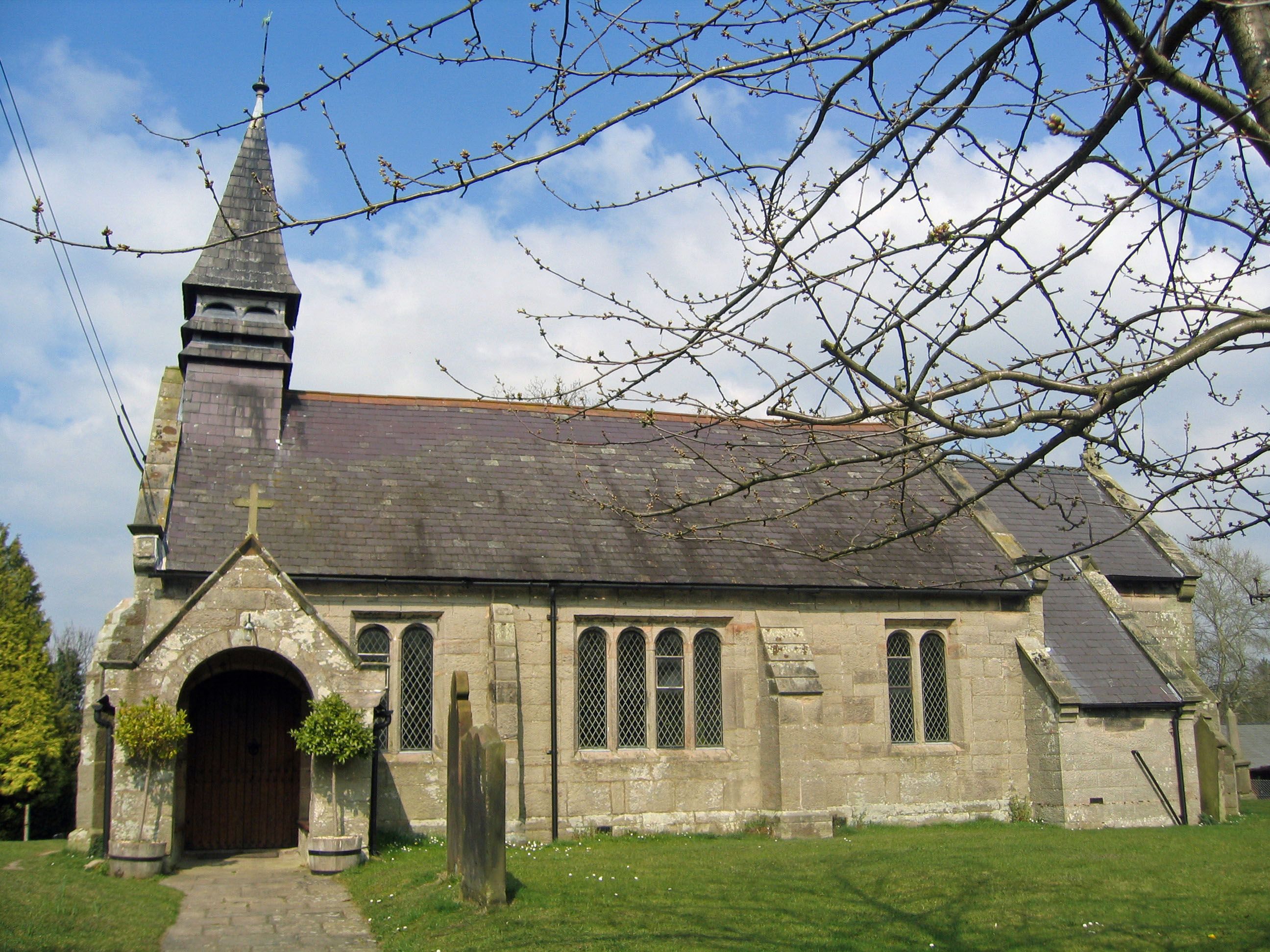
The village of Harthill itself is small, with a charming and close-knit community. It features a few local amenities, including a village hall and a church, which serves as a focal point for the residents. The church, dedicated to St. Chad, is a historic building dating back to the 12th century and is known for its architectural significance.
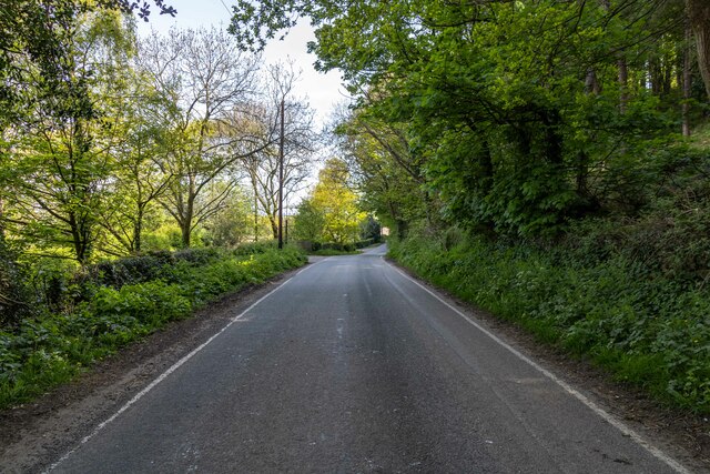
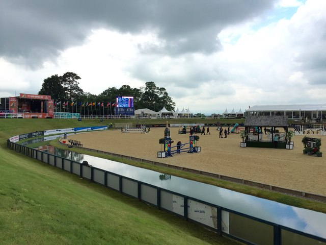
The parish also boasts a number of footpaths and bridleways, making it a popular destination for outdoor enthusiasts. These paths provide opportunities for walking, cycling, and horse riding, allowing visitors to explore the stunning countryside and enjoy the tranquil surroundings.
Overall, Harthill, Cheshire, is a delightful civil parish that offers a peaceful rural lifestyle and beautiful natural surroundings. It attracts residents and visitors alike with its scenic landscapes, historic charm, and strong sense of community.
If you have any feedback on the listing, please let us know in the comments section below.
Harthill Images
Images are sourced within 2km of 53.090032/-2.744949 or Grid Reference SJ5055. Thanks to Geograph Open Source API. All images are credited.


Harthill is located at Grid Ref: SJ5055 (Lat: 53.090032, Lng: -2.744949)
Unitary Authority: Cheshire West and Chester
Police Authority: Cheshire
What 3 Words
///unspoiled.grazes.novelists. Near Harthill, Cheshire
Nearby Locations
Related Wikis
Harthill, Cheshire
Harthill is a village and civil parish in the unitary authority of Cheshire West and Chester and the ceremonial county of Cheshire, England. All Saints...
All Saints Church, Harthill
All Saints Church is a redundant Anglican church in the village of Harthill, Cheshire, England. It is recorded in the National Heritage List for England...

Bickerton, Cheshire
Bickerton is a village and civil parish in the unitary authority of Cheshire East and the ceremonial county of Cheshire, England, about 8 miles (13 km...
Burwardsley
Burwardsley is a village and civil parish the unitary authority of Cheshire West and Chester and the ceremonial county of Cheshire, England. The parish...
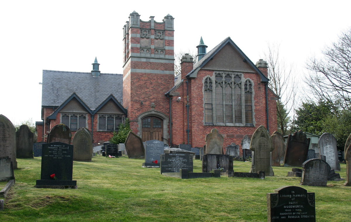
Brown Knowl Methodist Church
Brown Knowl Methodist Church is in Sherrington's Lane in the settlement of Brown Knowl in the civil parish of Broxton, Cheshire, England. The church,...
Holy Trinity Church, Bickerton
Holy Trinity Church stands to the north of the village of Bickerton, Cheshire, England. The church is recorded in the National Heritage List for England...
St John's Church, Burwardsley
St John's Church is in School Lane, Burwardsley, Cheshire, England. It is recorded in the National Heritage List for England as a designated Grade II listed...
Bickerton Hill
Bickerton Hill refers to two low red sandstone hills that form the southern end of the Mid Cheshire Ridge in Cheshire, north-west England. The high point...
Nearby Amenities
Located within 500m of 53.090032,-2.744949Have you been to Harthill?
Leave your review of Harthill below (or comments, questions and feedback).