Harrold

Civil Parish in Bedfordshire

England

Harrold

Track to Dungee Farm
Track to Dungee Farm Credit: Bikeboy

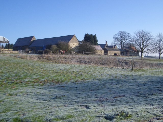
Harrold is a civil parish located in the county of Bedfordshire, England. Situated on the banks of the River Great Ouse, it covers an area of approximately 2.89 square miles. The village of Harrold itself is nestled within the parish and serves as its main center.

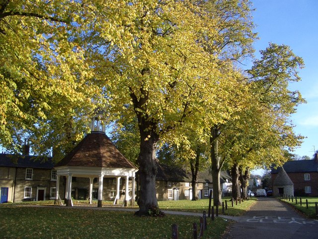
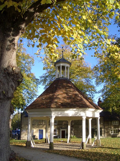
With a population of around 1,700 residents, Harrold offers a picturesque and tranquil rural setting. The village is known for its historical charm, featuring many well-preserved buildings and landmarks. One notable example is the 13th-century All Saints Church, which showcases stunning medieval architecture and attracts visitors from far and wide.

The village is also home to a range of amenities and services, including a primary school, community center, and a handful of local shops and businesses. The Harrold-Odell Country Park is a popular attraction, offering visitors the chance to explore its beautiful lakes, woodland areas, and wildlife habitats.

The parish boasts a strong sense of community spirit and is known for hosting various events and activities throughout the year. These include the annual Harrold Festival, which showcases local talent and provides entertainment for both residents and visitors.

Harrold is conveniently located within easy reach of larger towns and cities, with Bedford just a short drive away. Its proximity to major road networks, including the A428 and A6, allows for convenient transportation links to surrounding areas.

Overall, Harrold offers a charming and idyllic setting, making it an attractive place to live for those seeking a peaceful and close-knit community in the Bedfordshire countryside.

If you have any feedback on the listing, please let us know in the comments section below.
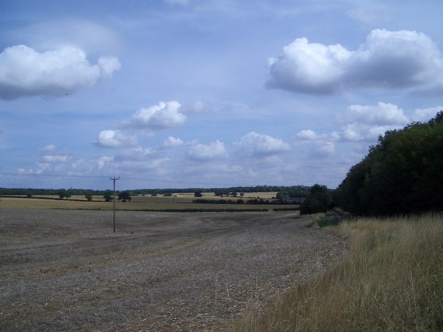
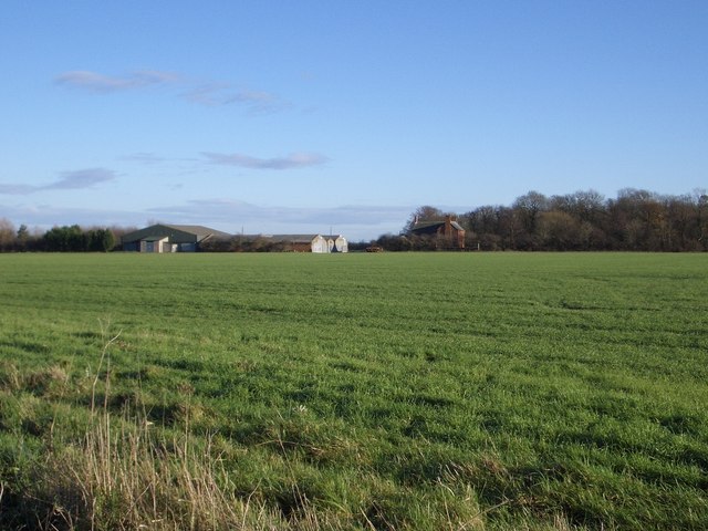
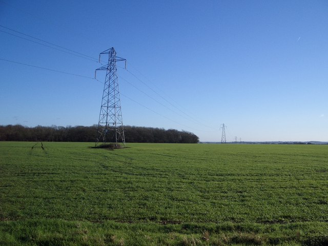
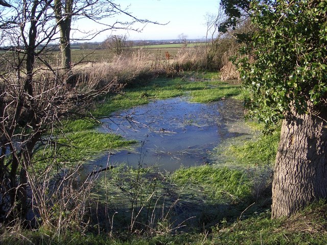
Harrold Images

Images are sourced within 2km of 52.203687/-0.635944 or Grid Reference SP9357. Thanks to Geograph Open Source API. All images are credited.

Track to Dungee Farm
High Street, Harrold As seen from opposite the United Reformed chapel looking east.
High Street, Harrold
As seen from opposite the United Reformed chapel looking east.
High Street, Harrold Looking west towards Brook Lane.
High Street, Harrold
Looking west towards Brook Lane.
Harrold House, High Street, Harrold "A tall, symmetrical Victorian-Jacobean villa" as Pevsner puts it.
Harrold House, High Street, Harrold
"A tall, symmetrical Victorian-Jacobean villa" as Pevsner puts it.
High Street, Harrold This terrace of quite large Victorian houses represents yet another architectural style to be found in High Street. The picture was taken looking east towards Church Walk.
High Street, Harrold
This terrace of quite large Victorian houses represents yet another architectural style to be found in High Street. The picture was taken looking east towards Church Walk.
Entranceway to The Mansion, Harrold This charming tree-lined driveway to The Mansion has entrance gates and piers that are Grade II listed. The gates are wrought iron with spearhead tops. The associated piers are incised with trefoil heads to each panel and they are surmounted by urn shaped finials.
Entranceway to The Mansion, Harrold
This charming tree-lined driveway to The Mansion has entrance gates and piers that are Grade II listed. The gates are wrought iron with spearhead tops. The associated piers are incised with trefoil heads to each panel and they are surmounted by urn shaped finials.
Harrold Village Green The tree-lined village green includes a war memorial (not shown), an early 18th-century market house and a circular village lock-up built in 1824. The latter two are both Grade II listed.
Harrold Village Green
The tree-lined village green includes a war memorial (not shown), an early 18th-century market house and a circular village lock-up built in 1824. The latter two are both Grade II listed.
Harrold Market House This early 18th-century octagonal market house on the village green is said to have been used for the marketing of local lace industry products and the distribution of thread and patterns. The building is Grade II listed.
Harrold Market House
This early 18th-century octagonal market house on the village green is said to have been used for the marketing of local lace industry products and the distribution of thread and patterns. The building is Grade II listed.
Three Shire Bridleway & the Fir Tree Planting Although described in local history books as the Fir Tree Planting, this spinney now mostly consists of deciduous trees through which the Three Shire Bridleway passes along its eastern edge along the Northants/Beds county border. In this northerly looking view, Bedfordshire is over the hedge to the right whilst the camera is in Northants.
Three Shire Bridleway & the Fir Tree Planting
Although described in local history books as the Fir Tree Planting, this spinney now mostly consists of deciduous trees through which the Three Shire Bridleway passes along its eastern edge along the Northants/Beds county border. In this northerly looking view, Bedfordshire is over the hedge to the right whilst the camera is in Northants.
Building Remnants at Daisy Castle near Harrold Despite its name there were no buildings of any great age at this site which has now been all but cleared with only dry ponds and trackways left to serve it. Close to Templegrove Spinney, the site which had modest domestic and agricultural buildings was first shown on a local estate map of 1836. Although cleared some years ago and with only a few remnants left, the site is still marked on modern OS maps.
Building Remnants at Daisy Castle near Harrold
Despite its name there were no buildings of any great age at this site which has now been all but cleared with only dry ponds and trackways left to serve it. Close to Templegrove Spinney, the site which had modest domestic and agricultural buildings was first shown on a local estate map of 1836. Although cleared some years ago and with only a few remnants left, the site is still marked on modern OS maps.
Harvest Gathered in at Dungee Farm This view of the recently harvested cornfield looks to the north-east from the bridleway that emerges on the north side of Park Wood near Harrold. Dungee Farm is visible beyond the edge of the nearby woods. In the far-distance and on the skyline from left to right are Dungee, Forty Acre and Great Odell Woods.
Harvest Gathered in at Dungee Farm
This view of the recently harvested cornfield looks to the north-east from the bridleway that emerges on the north side of Park Wood near Harrold. Dungee Farm is visible beyond the edge of the nearby woods. In the far-distance and on the skyline from left to right are Dungee, Forty Acre and Great Odell Woods.
Harrold Park Farm The isolated Harrold Park Farm is viewed here from the nearby Three Shire Bridleway. Park Wood is shown to the rear of the farmhouse on the right.
Harrold Park Farm
The isolated Harrold Park Farm is viewed here from the nearby Three Shire Bridleway. Park Wood is shown to the rear of the farmhouse on the right.
Electricity Pylons near Harrold Park Farm These pylons march off into the distance dropping down over the River Great Ouse Valley towards Bedford. Harrold Park Wood is on the left.
Electricity Pylons near Harrold Park Farm
These pylons march off into the distance dropping down over the River Great Ouse Valley towards Bedford. Harrold Park Wood is on the left.
Pond adjacent to Three Shire Bridleway This pond is a surprise in that it is essentially on the top of the ridge along which this part of the Three Shire Bridleway passes. Where does the water come from? It clearly forms a wildlife oasis that drains westward down a shallow valley towards Bozeat.
Pond adjacent to Three Shire Bridleway
This pond is a surprise in that it is essentially on the top of the ridge along which this part of the Three Shire Bridleway passes. Where does the water come from? It clearly forms a wildlife oasis that drains westward down a shallow valley towards Bozeat.
Footpath Junction SW of Harrold The public Milton Keynes Boundary Walk swings round to the right from camera. A farm track on the near left heads to the sites of the former Nun Wood and Santon field barns. Ahead left is a public footpath and farm road to Harrold. Pictured on a frosty morning.
Footpath Junction SW of Harrold
The public Milton Keynes Boundary Walk swings round to the right from camera. A farm track on the near left heads to the sites of the former Nun Wood and Santon field barns. Ahead left is a public footpath and farm road to Harrold. Pictured on a frosty morning.
The Milton Keynes Boundary Walk SW of Harrold This part of the Boundary Walk is near the end of New Road to the south-west of Harrold. The disused trailer visible on the right was formerly used to haul tree trunks, probably from the nearby Lavendon and Nun Woods.
The Milton Keynes Boundary Walk SW of Harrold
This part of the Boundary Walk is near the end of New Road to the south-west of Harrold. The disused trailer visible on the right was formerly used to haul tree trunks, probably from the nearby Lavendon and Nun Woods.
Harrold Lodge Farm Harrold Lodge Farm, near to the Lavendon-Harrold road, is viewed here from the Milton Keynes Boundary Walk on a frosty morning. Harrold Lodge Farmhouse is Grade II listed and dated 1799, though it is not especially visible in this view.
Harrold Lodge Farm
Harrold Lodge Farm, near to the Lavendon-Harrold road, is viewed here from the Milton Keynes Boundary Walk on a frosty morning. Harrold Lodge Farmhouse is Grade II listed and dated 1799, though it is not especially visible in this view.
Milton Keynes Boundary Walk (I) A frosty morning on the MK Boundary Walk well served here by a firm farm track, looking to the north-east.
Milton Keynes Boundary Walk (I)
A frosty morning on the MK Boundary Walk well served here by a firm farm track, looking to the north-east.
Show me another place!

Harrold is located at Grid Ref: SP9357 (Lat: 52.203687, Lng: -0.635944)

Unitary Authority: Bedford

Police Authority: Bedfordshire

What 3 Words

///starch.charts.broadcast. Near Harrold, Bedfordshire

Nearby Locations

Harrold Austin's Spinney

Related Wikis

Harrold, Bedfordshire

Harrold is a village, civil parish and electoral ward in Bedfordshire, England, nine miles north-west of Bedford on the north bank of the River Great Ouse...

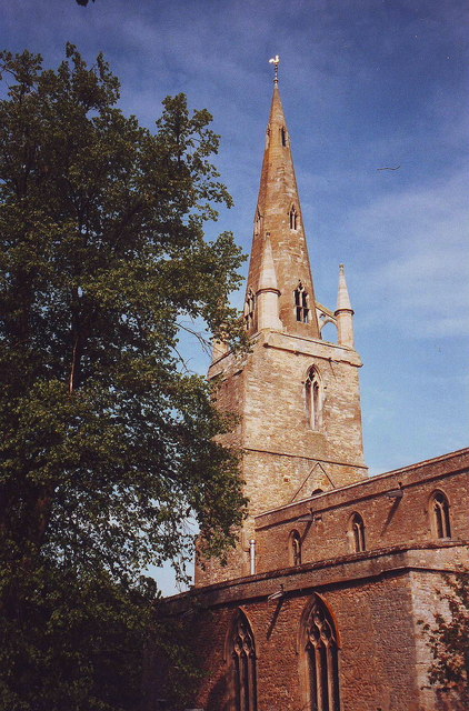
Church of St Peter, Harrold, Bedfordshire

Church of St Peter is a Grade I listed church in Harrold, Bedfordshire, England. == See also == Grade I listed buildings in Bedfordshire == References ==
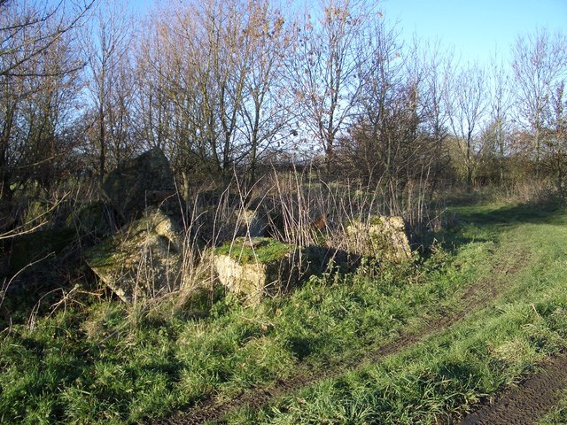
Harrold Priory

Harrold Priory was a priory in Harrold, Bedfordshire, England. It was established in 1138 and disestablished in 1536. == History == The priory of Harrold...
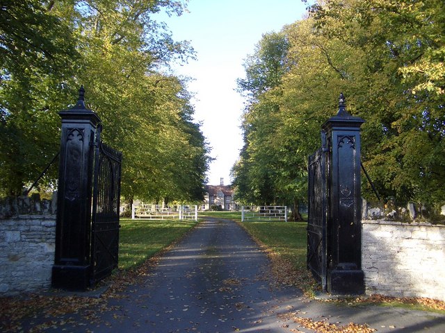
Harrold Hall

Harrold Hall was a country house in Harrold, Bedfordshire, England. Dated to 1210, the house was demolished in 1961. == References ==

Nearby Amenities

Located within 500m of 52.203687,-0.635944
Power: tower
Lat/Long: 52.2016068/-0.6300078
Power: tower
Lat/Long: 52.2073469/-0.6378452
Power: tower
Lat/Long: 52.2050128/-0.6346963
Power: tower
Lat/Long: 52.2033953/-0.6324754
The data included in this document is from www.openstreetmap.org. The data is made available under ODbL.

Have you been to Harrold?

Leave your review of Harrold below (or comments, questions and feedback).