Harford

Civil Parish in Devon South Hams

England

Harford

Old Boundary Marker or Wayside Cross between Piles Hill and Ugborough Beacon Parish Boundary Marker called Hobajohn's Cross on moorland 400 metres southwest of Piles Hill. On the boundary of Harford and Ugborough parishes. A Scheduled Monument details <span class="nowrap"><a title="https://historicengland.org.uk/listing/the-list/list-entry/1012486" rel="nofollow ugc noopener" href="https://historicengland.org.uk/listing/the-list/list-entry/1012486">Link</a><img style="margin-left:2px;" alt="External link" title="External link - shift click to open in new window" src="https://s1.geograph.org.uk/img/external.png" width="10" height="10"/></span>. See also <a title="https://www.geograph.org.uk/photo/2618013," href="https://www.geograph.org.uk/photo/2618013,">Link</a> <a title="https://www.geograph.org.uk/photo/1756182" href="https://www.geograph.org.uk/photo/1756182">Link</a> and <a title="https://www.geograph.org.uk/photo/1130015" href="https://www.geograph.org.uk/photo/1130015">Link</a>.

Milestone Society National ID: DV_HFUG05pb
Old Boundary Marker or Wayside Cross between Piles Hill and Ugborough Beacon Credit: A Rosevear

Harford is a civil parish located in the county of Devon, in southwestern England. It is a small rural community situated in the Dartmoor National Park, known for its stunning natural landscapes and ancient history. The parish covers an area of approximately 3,500 acres and is home to a population of around 250 residents.

Harford is characterized by its picturesque countryside, with rolling hills, lush green fields, and meandering rivers. The village itself is quaint and charming, with a mix of traditional stone cottages and modern houses. The parish also features several historic landmarks, including the ancient Harford Bridge, which dates back to the 15th century.

Residents of Harford enjoy a peaceful and close-knit community, with a strong sense of local pride and heritage. The parish is well-connected to nearby towns and cities, with good transportation links and access to amenities such as schools, shops, and healthcare facilities. Overall, Harford is a tranquil and idyllic place to live, offering a high quality of life for its residents.

If you have any feedback on the listing, please let us know in the comments section below.
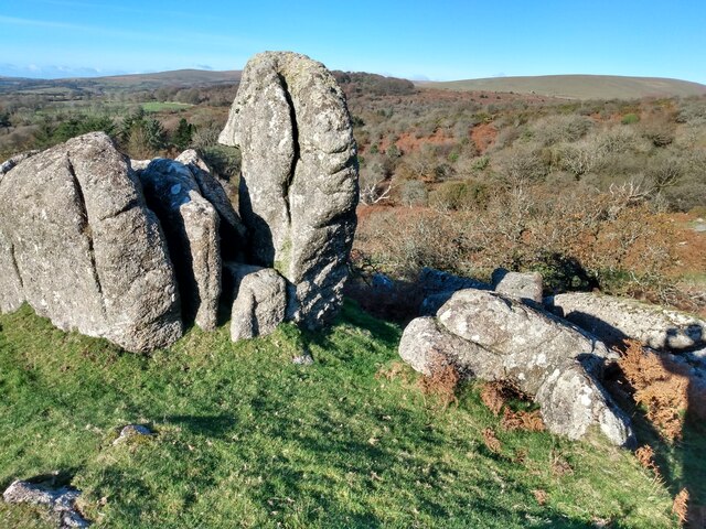
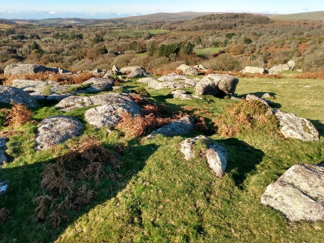
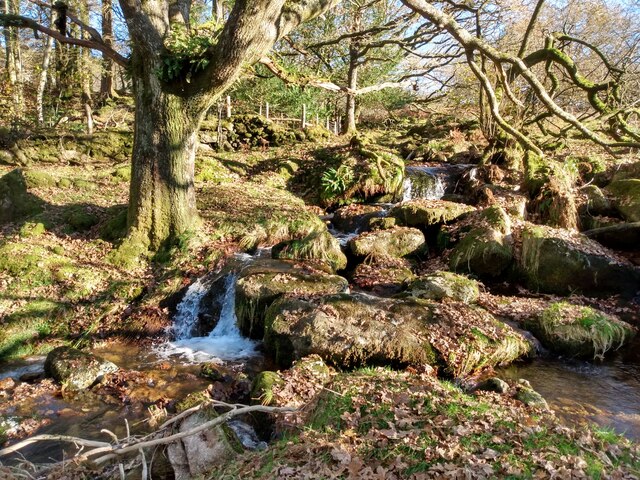
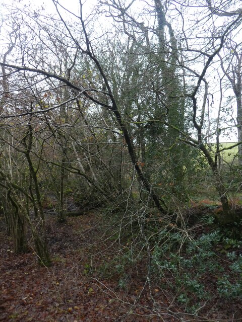
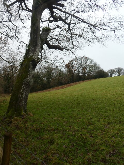
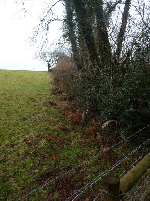
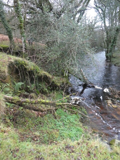
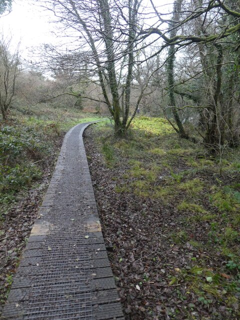
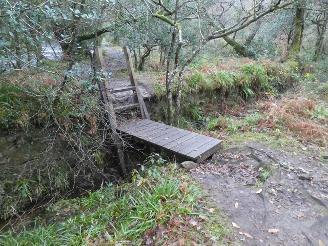
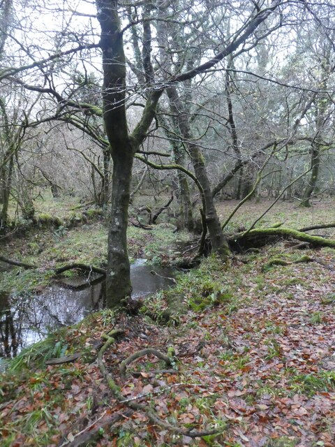
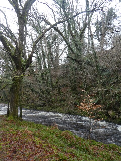
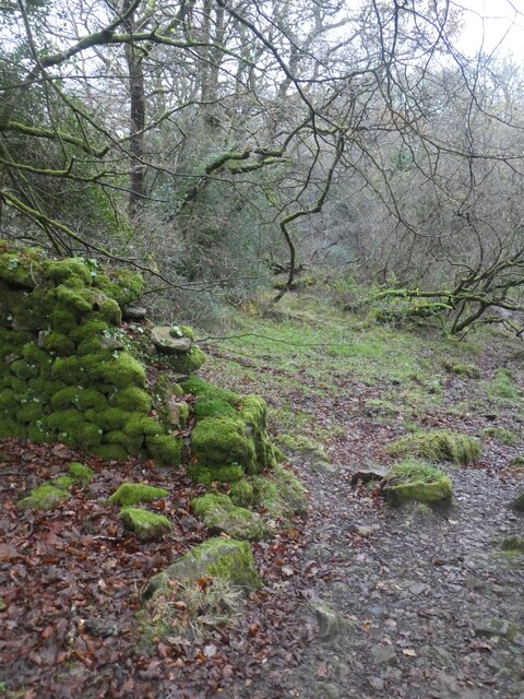
Harford Images

Images are sourced within 2km of 50.424537/-3.911766 or Grid Reference SX6460. Thanks to Geograph Open Source API. All images are credited.

Old Boundary Marker or Wayside Cross between Piles Hill and Ugborough Beacon Parish Boundary Marker called Hobajohn's Cross on moorland 400 metres southwest of Piles Hill. On the boundary of Harford and Ugborough parishes. A Scheduled Monument details <span class="nowrap"><a title="https://historicengland.org.uk/listing/the-list/list-entry/1012486" rel="nofollow ugc noopener" href="https://historicengland.org.uk/listing/the-list/list-entry/1012486">Link</a><img style="margin-left:2px;" alt="External link" title="External link - shift click to open in new window" src="https://s1.geograph.org.uk/img/external.png" width="10" height="10"/></span>. See also <a title="https://www.geograph.org.uk/photo/2618013," href="https://www.geograph.org.uk/photo/2618013,">Link</a> <a title="https://www.geograph.org.uk/photo/1756182" href="https://www.geograph.org.uk/photo/1756182">Link</a> and <a title="https://www.geograph.org.uk/photo/1130015" href="https://www.geograph.org.uk/photo/1130015">Link</a>.

Milestone Society National ID: DV_HFUG05pb
Old Boundary Marker or Wayside Cross between Piles Hill and Ugborough Beacon
Parish Boundary Marker called Hobajohn's Cross on moorland 400 metres southwest of Piles Hill. On the boundary of Harford and Ugborough parishes. A Scheduled Monument details LinkExternal link. See also Link Link and Link. Milestone Society National ID: DV_HFUG05pb
Old Boundary Marker between Hartford Moor and Ugborough Moor Parish Boundary Marker along a line of boundary stones on a moorland track, once a tramway, between Hartford Moor and Ugborough Moor. Inscribed U and H on opposite faces and on the boundary of Ugborough and Harford parishes. See also <a title="https://www.geograph.org.uk/photo/3169540" href="https://www.geograph.org.uk/photo/3169540">Link</a>.

Milestone Society National ID: DV_HFUG01pb
Old Boundary Marker between Hartford Moor and Ugborough Moor
Parish Boundary Marker along a line of boundary stones on a moorland track, once a tramway, between Hartford Moor and Ugborough Moor. Inscribed U and H on opposite faces and on the boundary of Ugborough and Harford parishes. See also Link. Milestone Society National ID: DV_HFUG01pb
Tor Rocks Tor Rocks looking towards Hall Plantation and beyond Penn Beacon
Tor Rocks
Tor Rocks looking towards Hall Plantation and beyond Penn Beacon
Tor Rocks
Tor Rocks
Butterbrook Waterfalls on Butterbrook near Tor Rocks quarry
Butterbrook
Waterfalls on Butterbrook near Tor Rocks quarry
Old hedgebank in Lukesland Wood
River Erme in Lukesland Wood
Sloping field to west of Lukesland Wood
Overgrown hedgebank west of Lukesland Wood
Fallen tree in River Erme
Boardwalk in Lukesland Wood
Footbridge over leat in Lukesland Wood
Marsh and pool in Lukesland Wood
River Erme in Lukesland Wood
Moss-covered ruined wall, King's Corner, Broomhill Wood
Trees, bracken and hedge, Hanger Down
Footpath through trees and scrub, Hanger Down
Path over the wall, edge of Hanger Down
Show me another place!

Harford is located at Grid Ref: SX6460 (Lat: 50.424537, Lng: -3.911766)

Administrative County: Devon

District: South Hams

Police Authority: Devon & Cornwall

What 3 Words

///stood.clipboard.indicate. Near Ivybridge, Devon

Nearby Locations

Harford Moor Harford

Related Wikis

Harford, Devon

Harford is a hamlet and civil parish located approximately 2 miles (3.2 km) north of the town of Ivybridge in the county of Devon, England. The parish...

Butterdon Hill

Butterdon Hill is on Dartmoor, in southwest England. The remains of a small stone circle and a stone row can be found on the summit. The name Butterdon...

Stalldown Barrow

Stalldown Barrow, sometimes called Staldon, is a megalithic site in Devon, about 5 km from Harford. It consists of a long stone row. It is fairly close...

Dendles Wood

Dendles Wood is an area of protected oak-beech woodland located on the southern edge of Dartmoor, in the English county of Devon. Forming part of the Dartmoor...

Nearby Amenities

Located within 500m of 50.424537,-3.911766
Tristis Rock
Natural: rock
Lat/Long: 50.4253764/-3.9181466
Historic: cist
Lat/Long: 50.4265115/-3.9084894
The data included in this document is from www.openstreetmap.org. The data is made available under ODbL.

Have you been to Harford?

Leave your review of Harford below (or comments, questions and feedback).