Harewood

Civil Parish in Herefordshire

England

Harewood

Lane near Kynaston farm
Lane near Kynaston farm Credit: Rob Purvis

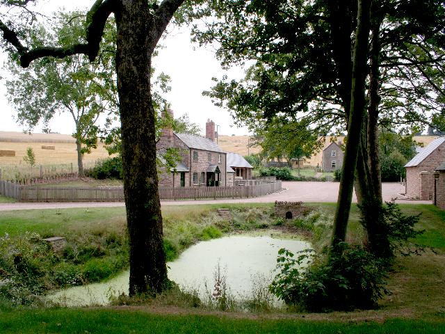
Harewood is a civil parish located in the county of Herefordshire, England. It covers an area of approximately 6.5 square miles and is situated in the northwest part of the county. The parish is predominantly rural and is characterized by its picturesque countryside, rolling hills, and charming villages.

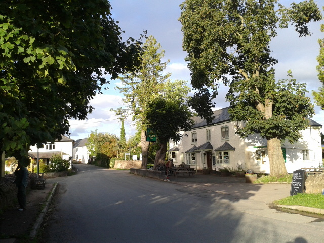
The main settlement within Harewood is the village of Harewood End, which serves as the administrative center for the parish. The village features a mix of traditional and modern properties, with a population of around 300 residents. It has a primary school, a village hall, and a small number of shops and amenities, providing for the basic needs of the local community.

The surrounding area is primarily agricultural, with a mix of farmland and woodland. The parish is known for its natural beauty and is a popular destination for outdoor enthusiasts and nature lovers. There are several walking trails and footpaths in the area, offering opportunities to explore the countryside and enjoy the stunning views.

Harewood is located near the border of Herefordshire and Wales, providing easy access to the neighboring county. The market town of Ross-on-Wye is just a short drive away, offering a wider range of amenities, including supermarkets, restaurants, and leisure facilities.

Overall, Harewood is a peaceful and idyllic parish, offering a rural lifestyle within easy reach of larger towns and cities. It is a place where residents can enjoy the beauty of the countryside while still having access to essential services and facilities.

If you have any feedback on the listing, please let us know in the comments section below.

Harewood Images

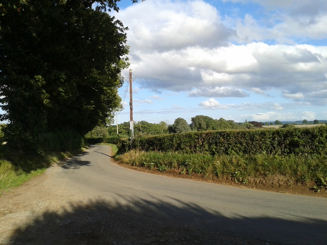
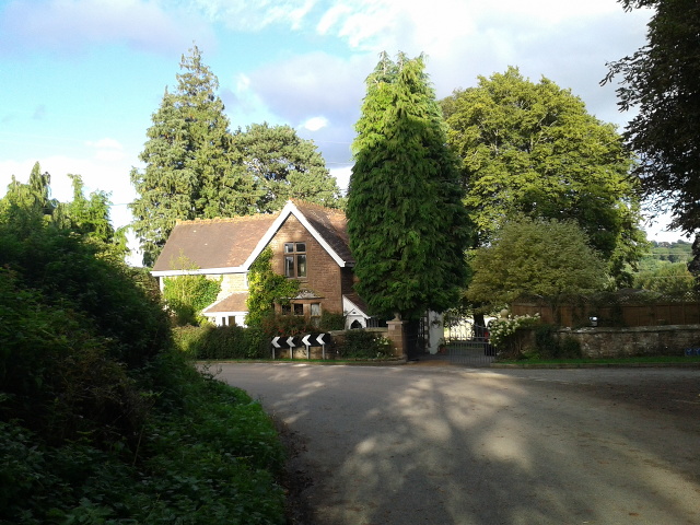
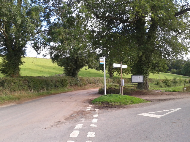
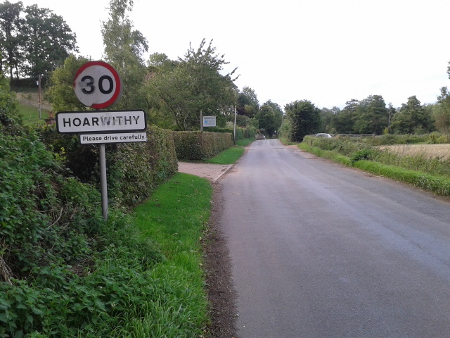
Images are sourced within 2km of 51.951381/-2.682004 or Grid Reference SO5328. Thanks to Geograph Open Source API. All images are credited.

Lane near Kynaston farm
House at Kynaston
House at Kynaston
Rural bus stop at a lane junction
On the edge of Hoarwithy at Red Rail
The New Harp Inn at Hoarwithy
The Harewood End
The Harewood End
The Lane to Kynaston
House at Harewood End
Newgrove Farm
Newgrove Farm
St Junabius, Llandinabo Charming little building, a near neighbour of Llandinabo Court. Highlight of the interior is the fine 16th century screen. The church was virtually rebuilt in 1881 by the little known Shrewsbury architect A.E. Lloyd Oswell.
St Junabius, Llandinabo
Charming little building, a near neighbour of Llandinabo Court. Highlight of the interior is the fine 16th century screen. The church was virtually rebuilt in 1881 by the little known Shrewsbury architect A.E. Lloyd Oswell.
Llandinabo Court farmhouse Next to the church is this fine late 17th century house with a range of 18th century farm buildings, most of them still fulfilling their intended function. 'Farmhouse' seems an inadequate description for such a grand house.
Llandinabo Court farmhouse
Next to the church is this fine late 17th century house with a range of 18th century farm buildings, most of them still fulfilling their intended function. 'Farmhouse' seems an inadequate description for such a grand house.
St Junabius, Llandinabo The wonderful chancel screen, dating from 1520-30, is a surprisingly sophisticated piece to find in a tiny Herefordshire church.
St Junabius, Llandinabo
The wonderful chancel screen, dating from 1520-30, is a surprisingly sophisticated piece to find in a tiny Herefordshire church.
St Junabius, Llandinabo The East window, a fine work by Kempe, 1893-4.
St Junabius, Llandinabo
The East window, a fine work by Kempe, 1893-4.
St Junabius, Llandinabo Whether the dedication is to St Dinabo, or to St Junabius, either is unique. The fine screen dominates the interior, which is almost wholly Victorian after a rebuilding of 1881 by the Shrewsbury architect A.E. Lloyd Oswell.
St Junabius, Llandinabo
Whether the dedication is to St Dinabo, or to St Junabius, either is unique. The fine screen dominates the interior, which is almost wholly Victorian after a rebuilding of 1881 by the Shrewsbury architect A.E. Lloyd Oswell.
St Junabius, Llandinabo The exquisite screen.
St Junabius, Llandinabo
The exquisite screen.
St Junabius, Llandinabo Looking west from the altar steps.
St Junabius, Llandinabo
Looking west from the altar steps.
St Junabius, Llandinabo A 13th century coffin slab, now in the chancel.
St Junabius, Llandinabo
A 13th century coffin slab, now in the chancel.
St Junabius, Llandinabo A small church with just the Court for a neighbour, but well worth seeking out and surprisingly, open.
St Junabius, Llandinabo
A small church with just the Court for a neighbour, but well worth seeking out and surprisingly, open.
Show me another place!

Harewood is located at Grid Ref: SO5328 (Lat: 51.951381, Lng: -2.682004)

Unitary Authority: County of Herefordshire

Police Authority: West Mercia

What 3 Words

///unusable.neater.ramp. Near Pencoyd, Herefordshire

Related Wikis

Harewood, Herefordshire

Harewood is a civil parish in Herefordshire, England. It is approximately 7 miles (11 km) south of the city and county town of Hereford and 4 miles (6...

Harewood Park

Harewood Park is a rural estate of 900 acres (360 ha) in the civil parish of Harewood in Herefordshire, England, which has been owned by the Duchy of...

Llandinabo

Llandinabo is a hamlet and civil parish in Herefordshire, England, and approximately six miles north-west of Ross-on-Wye. The population of the civil parish...

Hoarwithy, Herefordshire

Hoarwithy is a small village in the civil parish of Hentland, and on the River Wye in Herefordshire, England. It is known for its church of St Catherine...

Nearby Amenities

Located within 500m of 51.951381,-2.682004
Power: tower
Source: Bing
Lat/Long: 51.9547779/-2.6787891
Pipeline: marker
Substance: gas
Lat/Long: 51.948833/-2.6786149
Pipeline: marker
Substance: gas
Lat/Long: 51.9489074/-2.678749
The data included in this document is from www.openstreetmap.org. The data is made available under ODbL.

Have you been to Harewood?

Leave your review of Harewood below (or comments, questions and feedback).