Harden
Civil Parish in Yorkshire Bradford
England
Harden
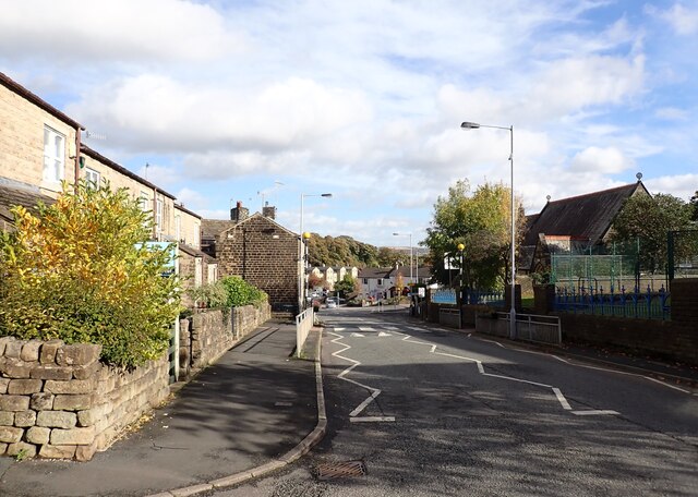
Harden is a civil parish located in the metropolitan borough of Bradford, in West Yorkshire, England. It is situated approximately 5 miles west of the city of Bradford and is bordered by the picturesque Aire Valley.
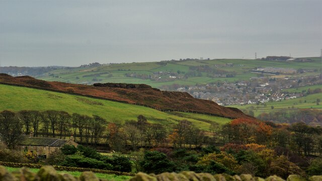
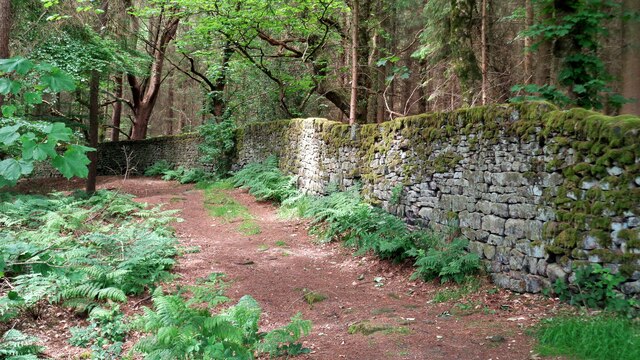
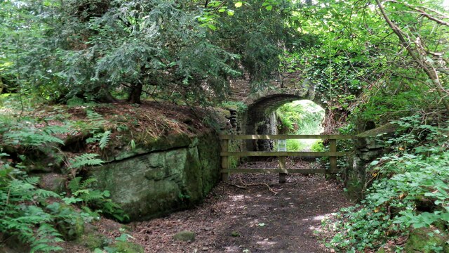
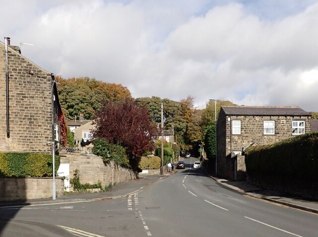
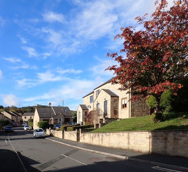
The parish covers an area of around 1.7 square miles and is predominantly rural, with a small number of residential areas and farms scattered throughout. The landscape is characterized by rolling hills, open fields, and woodland areas, providing a scenic and tranquil environment for residents and visitors alike.
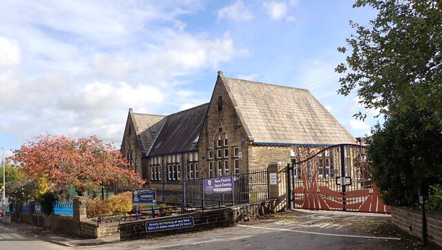
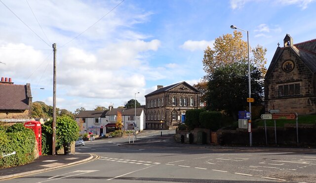
Harden is a close-knit community with a population of around 2,000 people. The parish is served by several amenities, including a primary school, a village hall, a post office, and a few local shops and eateries. The area is also well-connected, with regular bus services providing links to neighboring towns and cities.
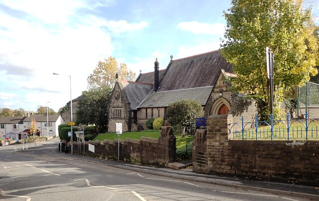
One of the notable landmarks in Harden is St. Saviour's Church, a beautiful Grade II listed building that dates back to the 19th century. The church serves as a focal point for the community and hosts regular worship services and community events.
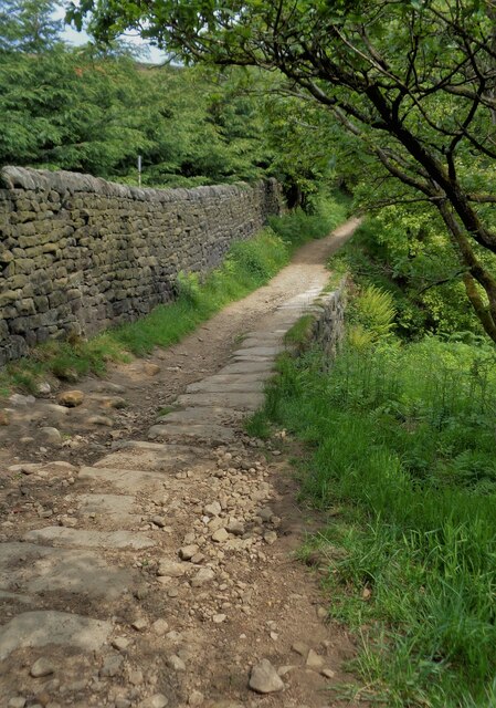
The surrounding countryside offers plenty of opportunities for outdoor activities such as walking, cycling, and horse riding, with several footpaths and bridleways crisscrossing the area. The nearby Leeds and Liverpool Canal also provides a scenic route for boating and fishing enthusiasts.
Overall, Harden offers a peaceful and idyllic setting for those seeking a rural lifestyle, while still being within easy reach of urban amenities and transport links.
If you have any feedback on the listing, please let us know in the comments section below.
Harden Images
Images are sourced within 2km of 53.844925/-1.873328 or Grid Reference SE0838. Thanks to Geograph Open Source API. All images are credited.


Harden is located at Grid Ref: SE0838 (Lat: 53.844925, Lng: -1.873328)
Division: West Riding
Administrative County: West Yorkshire
District: Bradford
Police Authority: West Yorkshire
What 3 Words
///scouted.ringside.majors. Near Bingley, West Yorkshire
Nearby Locations
Related Wikis

Bingley St Ives
Bingley St. Ives, or St. Ives Estate is a 550-acre (2.2 km2) country park and former estate between Bingley and Harden in West Yorkshire, England now owned...

Ryecroft, West Yorkshire
Ryecroft is a hamlet near to the village of Harden in West Yorkshire, England. The hamlet is on the road between Harden and Haworth, 1.9 miles (3 km) south...
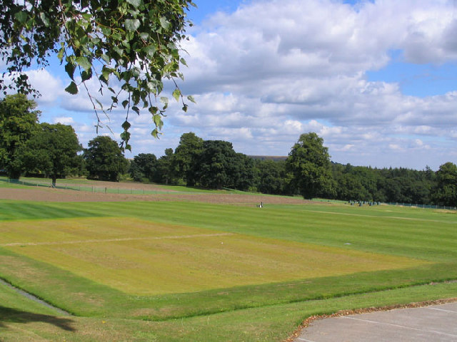
STRI Group
STRI, formerly the Sports Turf Research Institute, is a consultancy for the development of sports surfaces, based in St Ives, Bingley, West Yorkshire,...

Harden, West Yorkshire
Harden is a civil parish and village within the City of Bradford Metropolitan District, West Yorkshire, England, 2 miles (3.2 km) west of Bingley. It...

Beckfoot Bridge
Beckfoot Bridge (also known as the Packhorse Bridge) was historically a significant crossing point over Harden Beck in Bingley, West Yorkshire, England...
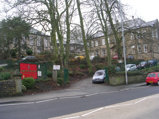
Bingley Grammar School
Bingley Grammar School (BGS) is a Voluntary aided school for students from the ages of 11–18 and is located on the outskirts of Bingley, West Yorkshire...

Ireland Bridge
Bingley's Ireland Bridge is a Grade II* listed structure and a historically significant crossing point over the River Aire in West Yorkshire, England...

Myrtle Grove, Bingley
Myrtle Grove, also known since 1926 as Bingley Town Hall, is a municipal building in Myrtle Park, Bingley, West Yorkshire, England. The building, which...
Nearby Amenities
Located within 500m of 53.844925,-1.873328Have you been to Harden?
Leave your review of Harden below (or comments, questions and feedback).