Hampton Lovett
Civil Parish in Worcestershire Wychavon
England
Hampton Lovett

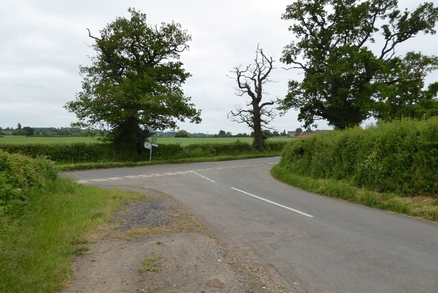
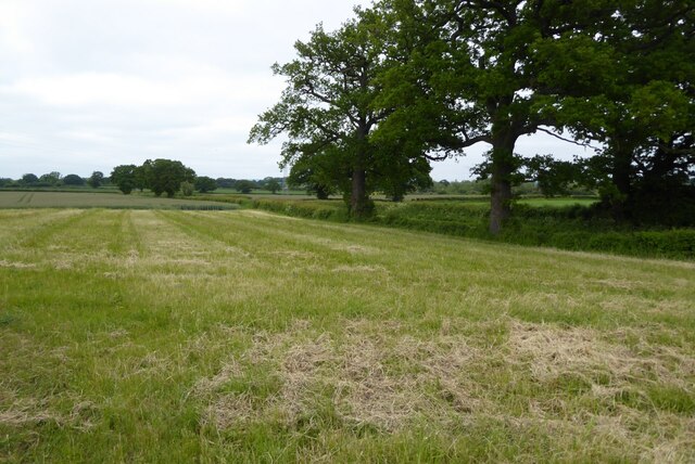
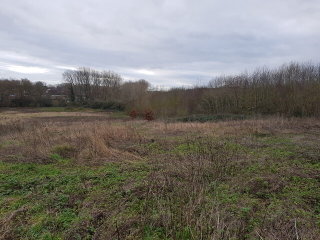
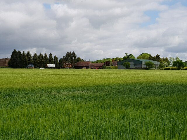
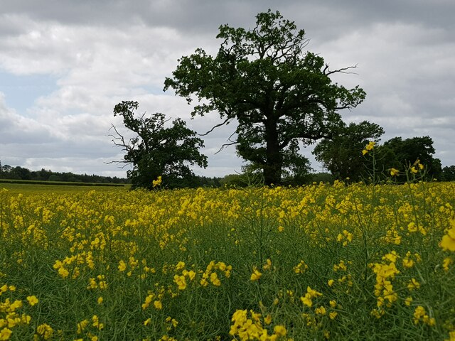
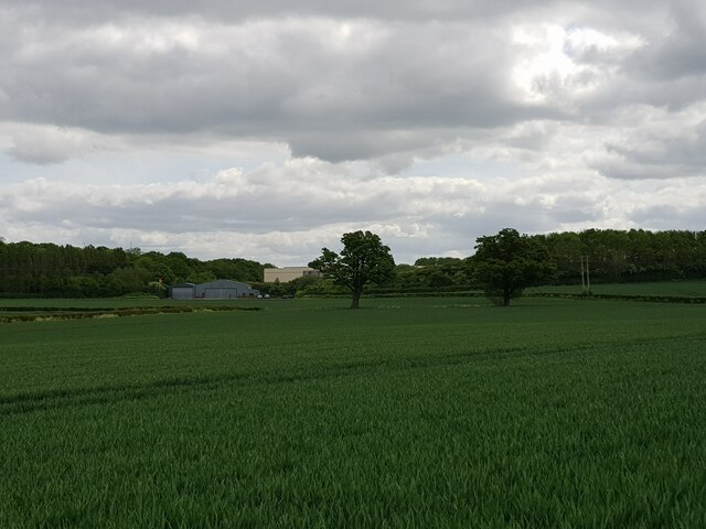
Hampton Lovett is a civil parish located in the county of Worcestershire, England. It is situated approximately 2 miles east of the town of Droitwich Spa and covers an area of about 7 square kilometers. The parish is primarily rural, characterized by rolling countryside and farmland.
The village of Hampton Lovett itself is small and picturesque, with a population of around 500 residents. It features a mix of traditional cottages and more modern houses, giving it a charming and diverse architectural style. The village is centered around St Mary's Church, a historic Norman building that dates back to the 12th century.
A notable feature of Hampton Lovett is its proximity to the Droitwich Canal, which runs through the parish. The canal, once an important transportation route for the salt industry, now offers scenic walking and cycling paths, attracting outdoor enthusiasts and nature lovers.
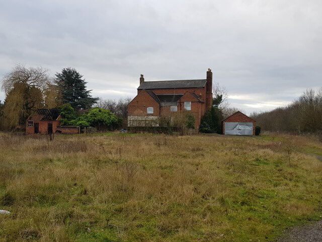
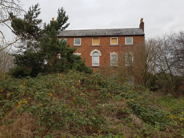
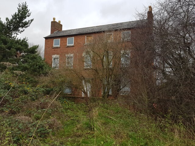
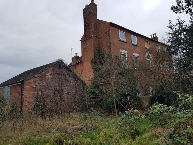
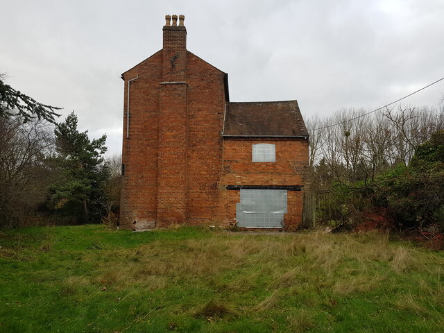
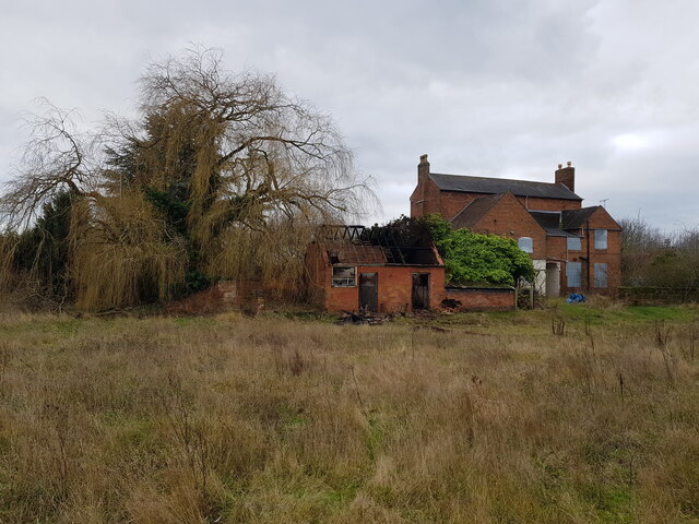
The parish is also home to several notable landmarks, including the Hampton Lovett Reservoir, which provides a vital water supply to the surrounding area. The reservoir is a popular spot for fishing and birdwatching. Additionally, the historic Hampton Lovett Court is located in the parish. This Grade II listed building dates back to the 16th century and is known for its unique architecture and beautiful gardens.
Overall, Hampton Lovett offers a tranquil and picturesque setting, ideal for those seeking a rural retreat while still being within easy reach of nearby towns and amenities.
If you have any feedback on the listing, please let us know in the comments section below.
Hampton Lovett Images
Images are sourced within 2km of 52.293255/-2.168571 or Grid Reference SO8866. Thanks to Geograph Open Source API. All images are credited.


Hampton Lovett is located at Grid Ref: SO8866 (Lat: 52.293255, Lng: -2.168571)
Administrative County: Worcestershire
District: Wychavon
Police Authority: West Mercia
What 3 Words
///combos.tolerable.atomic. Near Droitwich, Worcestershire
Nearby Locations
Related Wikis

Hampton Lovett
Hampton Lovett is a village and civil parish in the Wychavon district of the county of Worcestershire, England. It is just north of Droitwich. The church...

Elmbridge, Worcestershire
Elmbridge is a small community, mainly clustered in a village and forms a civil parish in Worcestershire, England. == Geography == It occupies the top...

Cutnall Green Halt railway station
Cutnall Green Halt was a railway station in Worcestershire, England, serving the nearby village of Hampton Lovett on the Oxford, Worcester and Wolverhampton...

Doverdale
Doverdale is a small village and civil parish in Worcestershire, England, to the west of Droitwich. It has a parish church. Doverdale Manor is one of largest...

Westwood House
Westwood House is a stately home, near Droitwich, Worcestershire, England. It has been subdivided into twelve self-contained apartments. The house has...
Westwood Priory
Westwood Priory (priory of St. Mary) was a priory of Benedictine nuns founded in 1153, near Droitwich, Worcestershire, England. It was a daughter house...
RGS Dodderhill
RGS Dodderhill is a private school on the outskirts of Droitwich Spa, Worcestershire, England. Girls & Boys are educated from 2–11 years of age - most...

Snead's Green
Snead's Green, sometimes written Sneads Green, is an area of Droitwich Spa, Worcestershire, England.Francis Moule, of Snead's Green House, sold the manorial...
Nearby Amenities
Located within 500m of 52.293255,-2.168571Have you been to Hampton Lovett?
Leave your review of Hampton Lovett below (or comments, questions and feedback).