Hampton Hargate and Vale

Civil Parish in Huntingdonshire

England

Hampton Hargate and Vale

Path by Beeby's West Lake, Hampton, Peterborough A former brick clay pit, with the new housing development of Hampton Water in the distance.
Path by Beeby's West Lake, Hampton, Peterborough Credit: Tim Heaton

Hampton Hargate and Vale is a civil parish located in the district of Huntingdonshire, England. Situated approximately 3 miles south of Peterborough, it is a vibrant and rapidly growing community that offers a mix of residential, commercial, and recreational spaces.

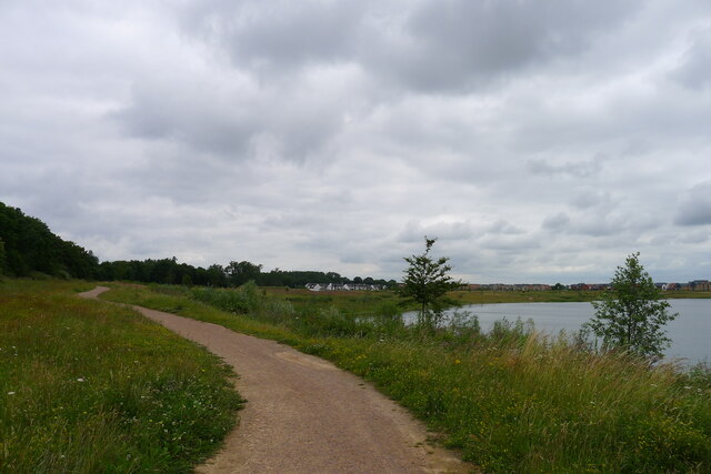
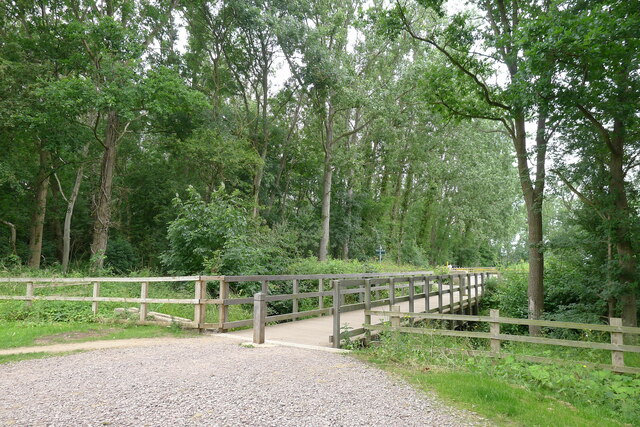
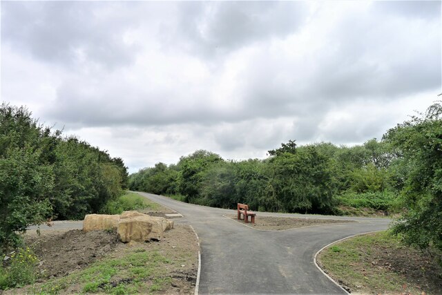
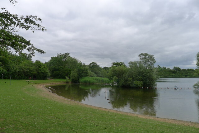
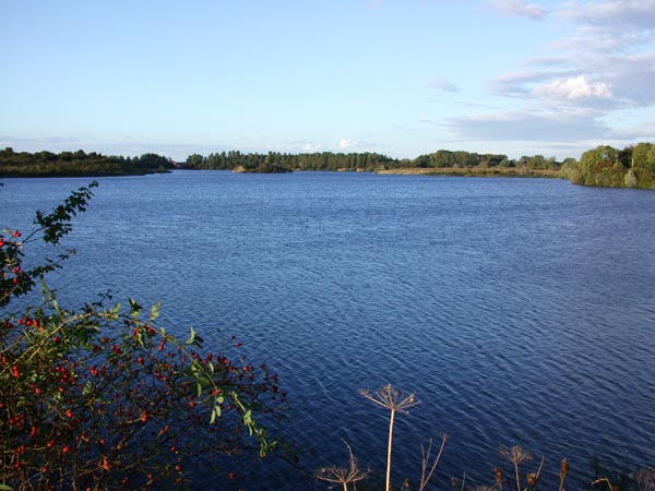
The parish is divided into two distinct areas: Hampton Hargate and Hampton Vale. Hampton Hargate is a residential area that primarily consists of modern housing developments. It boasts a range of housing options, from detached family homes to apartments, catering to various lifestyles and preferences. The area is known for its well-maintained green spaces, tree-lined avenues, and picturesque lakes, providing residents with ample opportunities for outdoor activities and leisurely walks.

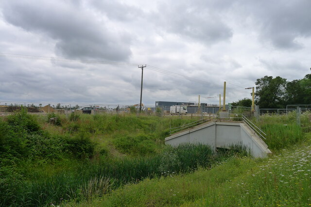
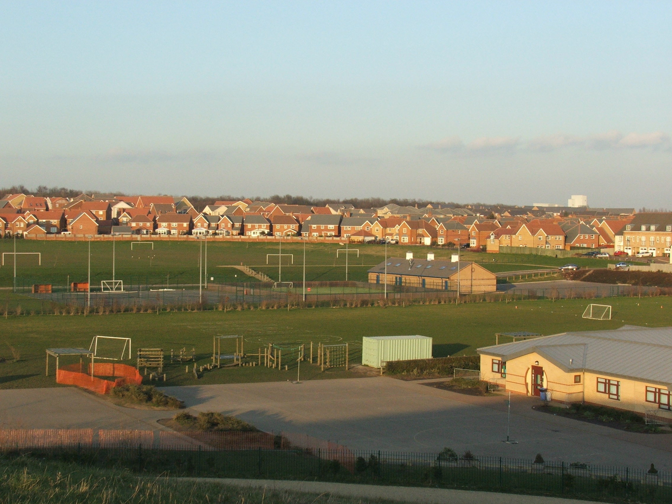
Hampton Vale, on the other hand, is a newer development that offers a mix of residential and commercial spaces. It features a range of amenities such as shops, restaurants, and recreational facilities, making it a self-sufficient community for its residents. The area is also home to a number of schools and educational institutions, providing easy access to quality education for families in the vicinity.

Both Hampton Hargate and Vale benefit from excellent transport links, with convenient access to the A1 road and the nearby Peterborough train station. This makes commuting to neighboring towns and cities, such as Cambridge and London, relatively easy. Additionally, the parish is well-served by local bus services, enabling residents to travel within the area and to nearby towns.

Overall, Hampton Hargate and Vale offers a thriving community with a range of amenities, green spaces, and excellent transport links, making it an attractive place to live for individuals and families alike.

If you have any feedback on the listing, please let us know in the comments section below.

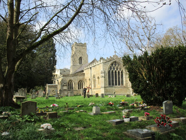
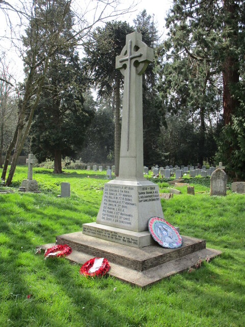
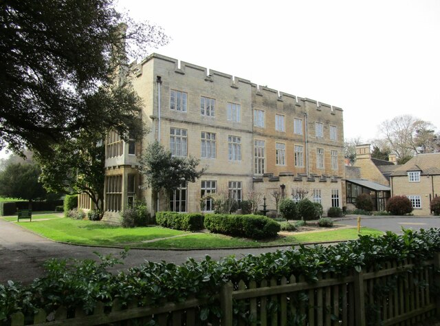
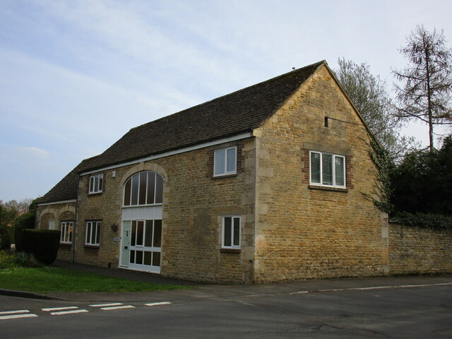
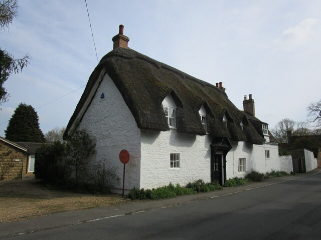
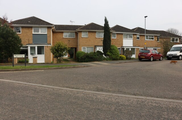
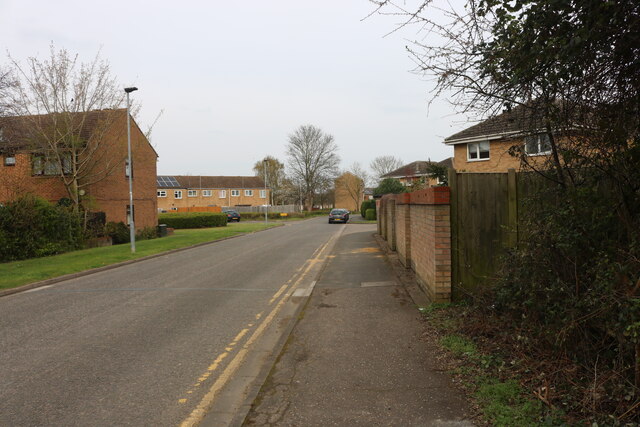
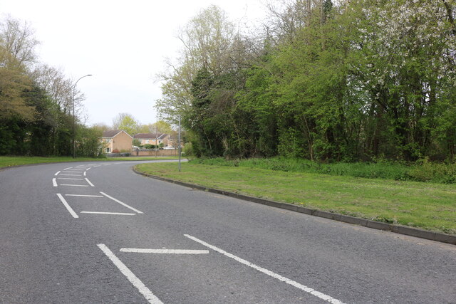
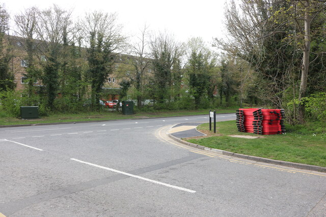
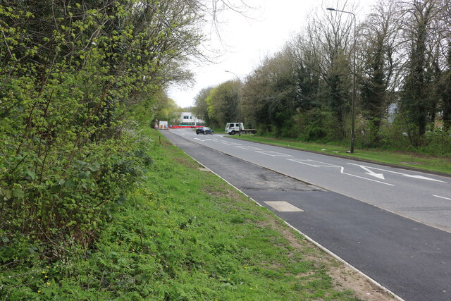
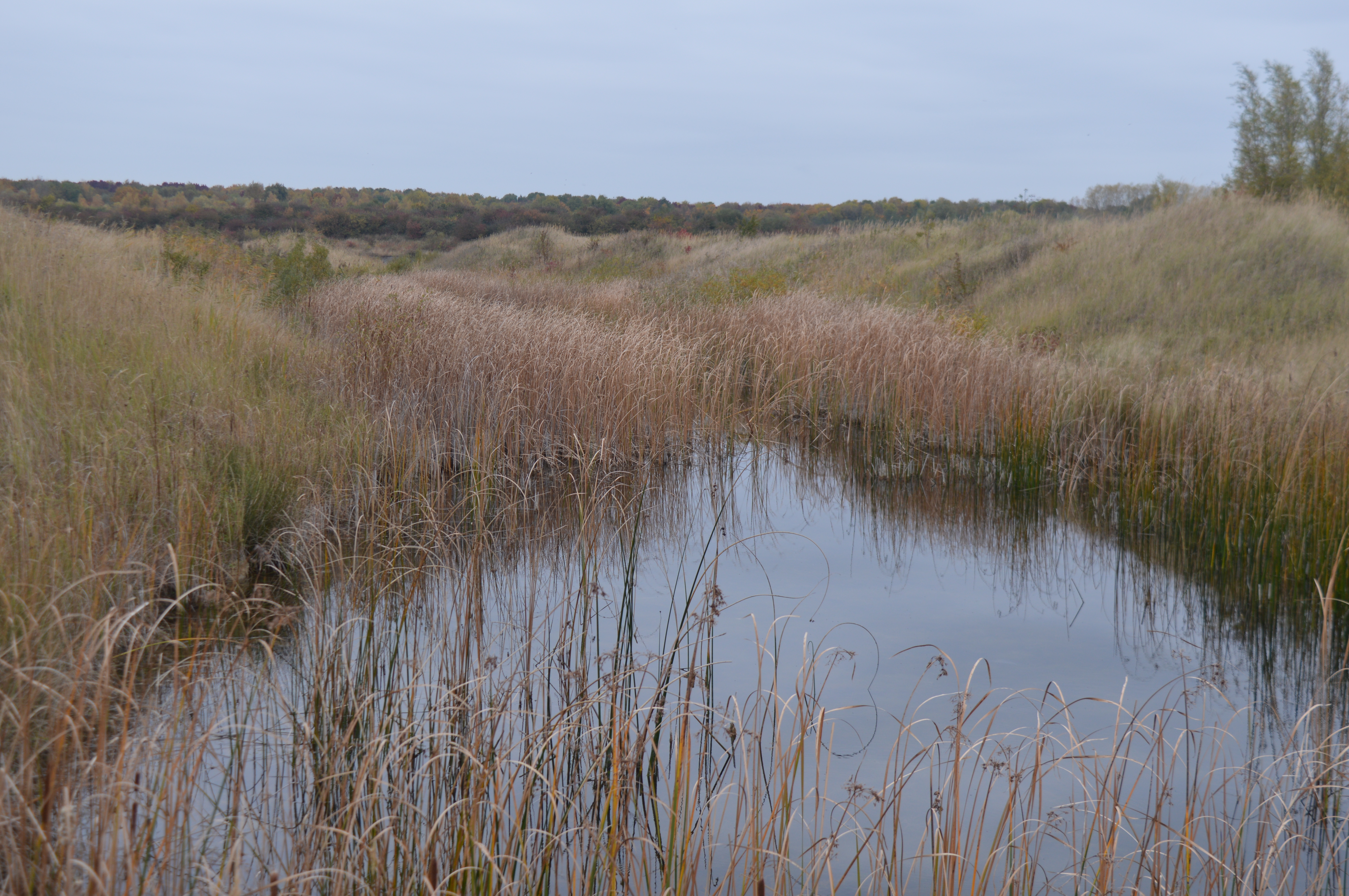
Hampton Hargate and Vale Images

Images are sourced within 2km of 52.537447/-0.269206 or Grid Reference TL1794. Thanks to Geograph Open Source API. All images are credited.

Path by Beeby's West Lake, Hampton, Peterborough A former brick clay pit, with the new housing development of Hampton Water in the distance.
Path by Beeby's West Lake, Hampton, Peterborough
A former brick clay pit, with the new housing development of Hampton Water in the distance.
New footbridge crossing a 'lode', Hampton water development, Peterborough Connecting a new housing site to Peterborough's extensive network of  cycle/footpaths.
New footbridge crossing a 'lode', Hampton water development, Peterborough
Connecting a new housing site to Peterborough's extensive network of cycle/footpaths.
Access road to the Hampton Water development site The development of 8000 reseidential units on a former brickworks site involves careful management of water drainage <span class="nowrap"><a title="https://www.susdrain.org/files/resources/briefings/1012_briefing_more_suds_than_meets_the_eye.pdf" rel="nofollow ugc noopener" href="https://www.susdrain.org/files/resources/briefings/1012_briefing_more_suds_than_meets_the_eye.pdf">Link</a><img style="margin-left:2px;" alt="External link" title="External link - shift click to open in new window" src="https://s1.geograph.org.uk/img/external.png" width="10" height="10"/></span>
Access road to the Hampton Water development site
The development of 8000 reseidential units on a former brickworks site involves careful management of water drainage LinkExternal link
Cycle Route 12 on Peterborough's extensive cycle path network Peterborough's City Council has used the boom in housing development to extend its network of cycle/footpaths <span class="nowrap"><a title="https://www.peterborough.gov.uk/asset-library/PCC-LCWIP.pdf" rel="nofollow ugc noopener" href="https://www.peterborough.gov.uk/asset-library/PCC-LCWIP.pdf">Link</a><img style="margin-left:2px;" alt="External link" title="External link - shift click to open in new window" src="https://s1.geograph.org.uk/img/external.png" width="10" height="10"/></span>. It must be hoped that the quality of the paths is maintained in the future.
Cycle Route 12 on Peterborough's extensive cycle path network
Peterborough's City Council has used the boom in housing development to extend its network of cycle/footpaths LinkExternal link. It must be hoped that the quality of the paths is maintained in the future.
14h10 from Peterborough to Kings Cross From the Cycle Route 12 footbridge over the East Coast Main line.
14h10 from Peterborough to Kings Cross
From the Cycle Route 12 footbridge over the East Coast Main line.
Crown Lakes Country Park, Peterborough Another former brick clay quarry providing Peterborough's watery environment.
Crown Lakes Country Park, Peterborough
Another former brick clay quarry providing Peterborough's watery environment.
Holy Trinity church, Orton Longuevlle Largely of the thirteenth and fourteenth centuries though the upper part of the tower dates from the fifteenth century <span class="nowrap"><a title="https://historicengland.org.uk/listing/the-list/list-entry/1166191?section=official-list-entry" rel="nofollow ugc noopener" href="https://historicengland.org.uk/listing/the-list/list-entry/1166191?section=official-list-entry">Link</a><img style="margin-left:2px;" alt="External link" title="External link - shift click to open in new window" src="https://s1.geograph.org.uk/img/external.png" width="10" height="10"/></span>
Holy Trinity church, Orton Longuevlle
Largely of the thirteenth and fourteenth centuries though the upper part of the tower dates from the fifteenth century LinkExternal link
War Memorial, Orton Longueville
Orton Hall Dates from 1835 though some ancillary buildings are much older  <span class="nowrap"><a title="https://historicengland.org.uk/listing/the-list/list-entry/1309056?section=official-list-entry" rel="nofollow ugc noopener" href="https://historicengland.org.uk/listing/the-list/list-entry/1309056?section=official-list-entry">Link</a><img style="margin-left:2px;" alt="External link" title="External link - shift click to open in new window" src="https://s1.geograph.org.uk/img/external.png" width="10" height="10"/></span> Now a hotel.
Orton Hall
Dates from 1835 though some ancillary buildings are much older LinkExternal link Now a hotel.
Stable conversion, Orton Longueville Former stable sconverted to a dwelling <span class="nowrap"><a title="https://historicengland.org.uk/listing/the-list/list-entry/1126707?section=official-list-entry" rel="nofollow ugc noopener" href="https://historicengland.org.uk/listing/the-list/list-entry/1126707?section=official-list-entry">Link</a><img style="margin-left:2px;" alt="External link" title="External link - shift click to open in new window" src="https://s1.geograph.org.uk/img/external.png" width="10" height="10"/></span>
Stable conversion, Orton Longueville
Former stable sconverted to a dwelling LinkExternal link
The Orchard, Orton Longueville Eighteenth century house <span class="nowrap"><a title="https://historicengland.org.uk/listing/the-list/list-entry/1166132?section=official-list-entry" rel="nofollow ugc noopener" href="https://historicengland.org.uk/listing/the-list/list-entry/1166132?section=official-list-entry">Link</a><img style="margin-left:2px;" alt="External link" title="External link - shift click to open in new window" src="https://s1.geograph.org.uk/img/external.png" width="10" height="10"/></span>
The Orchard, Orton Longueville
Eighteenth century house LinkExternal link
Medeswell, Orton Malbourne Random cat in view.
Medeswell, Orton Malbourne
Random cat in view.
Medeswell, Orton Malbourne
Malborne Way, Orton
Malborne Way, Orton
Medeswell at the junction of Malborne Way
Malborne Way, Orton
Malborne Way, Orton
Buttercups by Malborne Way, Orton
Orton Brick Pit This disused clay pit is known locally as Orton Brick Pit. Taken from part of the Green Wheel.
Orton Brick Pit
This disused clay pit is known locally as Orton Brick Pit. Taken from part of the Green Wheel.
Show me another place!

Hampton Hargate and Vale is located at Grid Ref: TL1794 (Lat: 52.537447, Lng: -0.269206)

Unitary Authority: Peterborough

Police Authority: Cambridgeshire

What 3 Words

///masks.crusher.zeal. Near Yaxley, Cambridgeshire

Related Wikis

Hampton College, Peterborough

Hampton College is an all-through school for pupils aged 4 to 18, located in Hampton, Peterborough, England.The school opened to years 7 and 8 in September...

Hampton, Peterborough

Hampton is a developing township to the south of Peterborough, in the Peterborough district, in the ceremonial county of Cambridgeshire, England. ��2...

Serpentine Green

Serpentine Green is a shopping centre that opened 8 February 1999 in the Hampton Hargate district of Southern Peterborough in England. It is named after...

Orton Pit

Orton Pit is a 145.8-hectare (360-acre) biological Site of Special Scientific Interest on the southern outskirts of Peterborough in Cambridgeshire. It...

Hampton Nature Reserve

Hampton Nature Reserve, to the south of Peterborough, England is home to Europe's largest population of great crested newts. The site is a Special Area...

Orton Community Sixth Form

Orton Community Sixth Form is a consortium sixth form for Bushfield Community College and Orton Longueville School. == See also == List of schools in Peterborough...

Orton, Peterborough

Orton is a suburb of the City of Peterborough, in Cambridgeshire, England, about 3 miles (4.8 km) south west of Peterborough city centre to the south of...

Yaxley, Cambridgeshire

Yaxley is a village and civil parish in the Huntingdonshire district in Cambridgeshire, England. Yaxley lies approximately 4 miles (6 km) south of Peterborough...

Nearby Amenities

Located within 500m of 52.537447,-0.269206
Traffic Calming: choker
Lat/Long: 52.5380392/-0.2733345
Traffic Calming: hump
Lat/Long: 52.5407003/-0.2713857
Traffic Calming: hump
Lat/Long: 52.5400736/-0.2706646
Traffic Calming: choker
Lat/Long: 52.5379953/-0.2722145
Turning Circle
Lat/Long: 52.5376494/-0.2712546
Hampton Hargate
Is In: Peterborough
Place: suburb
Lat/Long: 52.53785/-0.2730006
Traffic Calming: hump
Lat/Long: 52.5400291/-0.2696764
Noexit: yes
Lat/Long: 52.5391624/-0.263868
The Tump
Leisure: park
Lat/Long: 52.5380942/-0.2754563
Mini Roundabout
Direction: clockwise
Lat/Long: 52.5393447/-0.2625337
Bus Stop
Peterborough Citi 6
Bus: yes
Public Transport: platform
Lat/Long: 52.5382725/-0.2721938
Bus Stop
Peterborough citi 6
Bus: yes
Naptan AtcoCode: 0590PHH276
Naptan NaptanCode: PETJGMD
Public Transport: platform
Lat/Long: 52.5399164/-0.2699701
Bus Stop
Peterborough Citi 6
Bench: yes
Bin: yes
Shelter: yes
Tactile Paving: yes
Wheelchair: yes
Lat/Long: 52.5413435/-0.2655681
Bus Stop
Tabor Court
Public Transport: platform
Lat/Long: 52.5392162/-0.2667322
Bus Stop
Hampton College
Bench: yes
Bin: no
Bus: yes
Departures Board: realtime
Operator: Stagecoach
Public Transport: platform
Shelter: yes
Lat/Long: 52.5354183/-0.2659222
Post Box
Lat/Long: 52.5382767/-0.2727028
Post Box
Lat/Long: 52.5405393/-0.2676254
Leisure: playground
Lat/Long: 52.5380629/-0.2679097
Bicycle Parking
Bicycle Parking: stands
Capacity: 8
Covered: no
Lat/Long: 52.5362428/-0.2648323
Bicycle Parking
Bicycle Parking: stands
Capacity: 8
Covered: yes
Lat/Long: 52.5363543/-0.2648175
Bicycle Parking
Bicycle Parking: stands
Capacity: 8
Covered: no
Lat/Long: 52.5371995/-0.2641702
Bicycle Parking
Bicycle Parking: stands
Capacity: 12
Covered: no
Lat/Long: 52.5381495/-0.272615
Traffic Calming: choker
Lat/Long: 52.5382186/-0.2726875
Traffic Calming: hump
Lat/Long: 52.5404166/-0.2693014
Traffic Calming: hump
Lat/Long: 52.5407722/-0.2687931
Atm
Brand: NatWest
Brand Wikidata: Q2740021
Brand Wikipedia: en:NatWest
Operator: NatWest
Operator Wikidata: Q2740021
Lat/Long: 52.5397409/-0.2631798
Bus Stop
Lat/Long: 52.5358722/-0.275342
Atm
Fee: no
Operator: One Stop
Lat/Long: 52.5383129/-0.2726877
Veterinary
Hampton Veterinary Clinic
Lat/Long: 52.5386978/-0.2716781
Hinge: horizontal
Man Made: street_cabinet
Operator: Openreach
Street Cabinet: telecom
Lat/Long: 52.5411108/-0.2682217
Bicycle Parking
Lat/Long: 52.5388772/-0.2635488
Mini Roundabout
Direction: clockwise
Lat/Long: 52.5397475/-0.2644747
Arts Centre
The Undercroft
Addr City: Peterborough
Addr Postcode: PE7 8DR
Lat/Long: 52.5389201/-0.2633325
Phoenix Ecig's
Shop: e-cigarette
Lat/Long: 52.5395293/-0.2630658
Bench
Backrest: yes
Lat/Long: 52.5415653/-0.2664378
Street Lamp
Lat/Long: 52.5388566/-0.2635768
Toilets
Lat/Long: 52.5391611/-0.2629684
Waste Basket
Lat/Long: 52.53976/-0.2631636
Post Box
Lat/Long: 52.540011/-0.2631571
Atm
Lat/Long: 52.5400294/-0.2631492
Street Lamp
Lat/Long: 52.5379168/-0.2623932
Street Lamp
Lat/Long: 52.5379461/-0.2626105
Bicycle Parking
Lat/Long: 52.5379066/-0.264307
Man Made: street_cabinet
Lat/Long: 52.5381178/-0.2648086
Street Lamp
Lat/Long: 52.5383682/-0.265241
Disused Highway: street_lamp
Lat/Long: 52.5398554/-0.2675192
Crossing
Crossing Markings: yes
Crossing Signals: no
Tactile Paving: yes
Lat/Long: 52.5412432/-0.2662783
Crossing
Crossing Markings: yes
Crossing Signals: no
Tactile Paving: yes
Lat/Long: 52.5411703/-0.2661748
Man Made: street_cabinet
Lat/Long: 52.5411435/-0.2682355
Street Lamp
Lat/Long: 52.5360633/-0.2677686
Street Lamp
Lat/Long: 52.5342306/-0.2715388
Street Lamp
Lat/Long: 52.5339832/-0.2723584
Generator Method: photovoltaic
Generator Output Electricity: yes
Generator Source: solar
Generator Type: solar_photovoltaic_panel
Location: roof
Power: generator
Lat/Long: 52.5334684/-0.2684355
Generator Method: photovoltaic
Generator Output Electricity: yes
Generator Source: solar
Generator Type: solar_photovoltaic_panel
Location: roof
Power: generator
Lat/Long: 52.533643/-0.2702406
Generator Method: photovoltaic
Generator Output Electricity: yes
Generator Source: solar
Generator Type: solar_photovoltaic_panel
Location: roof
Power: generator
Lat/Long: 52.5346138/-0.2687761
Generator Method: photovoltaic
Generator Output Electricity: yes
Generator Source: solar
Generator Type: solar_photovoltaic_panel
Location: roof
Power: generator
Lat/Long: 52.5342761/-0.2683523
Generator Method: photovoltaic
Generator Output Electricity: yes
Generator Source: solar
Generator Type: solar_photovoltaic_panel
Location: roof
Power: generator
Lat/Long: 52.5370953/-0.2622771
Generator Method: photovoltaic
Generator Output Electricity: yes
Generator Source: solar
Generator Type: solar_photovoltaic_panel
Location: roof
Power: generator
Lat/Long: 52.5370969/-0.2621457
Generator Method: photovoltaic
Generator Output Electricity: yes
Generator Source: solar
Generator Type: solar_photovoltaic_panel
Location: roof
Power: generator
Lat/Long: 52.5372764/-0.2618158
Generator Method: photovoltaic
Generator Output Electricity: yes
Generator Source: solar
Generator Type: solar_photovoltaic_panel
Location: roof
Power: generator
Lat/Long: 52.5371932/-0.2618426
Generator Method: photovoltaic
Generator Output Electricity: yes
Generator Source: solar
Generator Type: solar_photovoltaic_panel
Location: roof
Power: generator
Lat/Long: 52.5378343/-0.2633742
Generator Method: photovoltaic
Generator Output Electricity: yes
Generator Source: solar
Generator Type: solar_photovoltaic_panel
Location: roof
Power: generator
Lat/Long: 52.5378539/-0.2633044
Generator Method: photovoltaic
Generator Output Electricity: yes
Generator Source: solar
Generator Type: solar_photovoltaic_panel
Location: roof
Power: generator
Lat/Long: 52.5378115/-0.2632052
Generator Method: photovoltaic
Generator Output Electricity: yes
Generator Source: solar
Generator Type: solar_photovoltaic_panel
Location: roof
Power: generator
Lat/Long: 52.5371801/-0.2637738
Generator Method: photovoltaic
Generator Output Electricity: yes
Generator Source: solar
Generator Type: solar_photovoltaic_panel
Location: roof
Power: generator
Lat/Long: 52.5370937/-0.2638355
Generator Method: photovoltaic
Generator Output Electricity: yes
Generator Source: solar
Generator Type: solar_photovoltaic_panel
Location: roof
Power: generator
Lat/Long: 52.5368131/-0.2639186
Generator Method: photovoltaic
Generator Output Electricity: yes
Generator Source: solar
Generator Type: solar_photovoltaic_panel
Location: roof
Power: generator
Lat/Long: 52.536428/-0.2642673
Generator Method: photovoltaic
Generator Output Electricity: yes
Generator Source: solar
Generator Type: solar_photovoltaic_panel
Location: roof
Power: generator
Lat/Long: 52.5358497/-0.2646415
Generator Method: photovoltaic
Generator Output Electricity: yes
Generator Source: solar
Generator Type: solar_photovoltaic_panel
Location: roof
Power: generator
Lat/Long: 52.5358986/-0.2646106
Generator Method: photovoltaic
Generator Output Electricity: yes
Generator Source: solar
Generator Type: solar_photovoltaic_panel
Location: roof
Power: generator
Lat/Long: 52.5359337/-0.2645785
Generator Method: photovoltaic
Generator Output Electricity: yes
Generator Source: solar
Generator Type: solar_photovoltaic_panel
Location: roof
Power: generator
Lat/Long: 52.5359753/-0.2645637
Generator Method: photovoltaic
Generator Output Electricity: yes
Generator Source: solar
Generator Type: solar_photovoltaic_panel
Location: roof
Power: generator
Lat/Long: 52.5360153/-0.2645382
Generator Method: photovoltaic
Generator Output Electricity: yes
Generator Source: solar
Generator Type: solar_photovoltaic_panel
Location: roof
Power: generator
Lat/Long: 52.535618/-0.2636705
Generator Method: photovoltaic
Generator Output Electricity: yes
Generator Source: solar
Generator Type: solar_photovoltaic_panel
Location: roof
Power: generator
Lat/Long: 52.5356172/-0.2638958
Generator Method: photovoltaic
Generator Output Electricity: yes
Generator Source: solar
Generator Type: solar_photovoltaic_panel
Location: roof
Power: generator
Lat/Long: 52.5356156/-0.263983
Generator Method: photovoltaic
Generator Output Electricity: yes
Generator Source: solar
Generator Type: solar_photovoltaic_panel
Location: roof
Power: generator
Lat/Long: 52.5356139/-0.2640621
Generator Method: photovoltaic
Generator Output Electricity: yes
Generator Source: solar
Generator Type: solar_photovoltaic_panel
Location: roof
Power: generator
Lat/Long: 52.5356139/-0.2641413
Generator Method: photovoltaic
Generator Output Electricity: yes
Generator Source: solar
Generator Type: solar_photovoltaic_panel
Location: roof
Power: generator
Lat/Long: 52.5356147/-0.2642097
Generator Method: photovoltaic
Generator Output Electricity: yes
Generator Source: solar
Generator Type: solar_photovoltaic_panel
Location: roof
Power: generator
Lat/Long: 52.5356123/-0.2642767
Generator Method: photovoltaic
Generator Output Electricity: yes
Generator Source: solar
Generator Type: solar_photovoltaic_panel
Location: roof
Power: generator
Lat/Long: 52.5368979/-0.2749687
Generator Method: photovoltaic
Generator Output Electricity: yes
Generator Source: solar
Generator Type: solar_photovoltaic_panel
Location: roof
Power: generator
Lat/Long: 52.5372592/-0.2719606
Generator Method: photovoltaic
Generator Output Electricity: yes
Generator Source: solar
Generator Type: solar_photovoltaic_panel
Location: roof
Power: generator
Lat/Long: 52.5369016/-0.2722194
Generator Method: photovoltaic
Generator Output Electricity: yes
Generator Source: solar
Generator Type: solar_photovoltaic_panel
Location: roof
Power: generator
Lat/Long: 52.5382977/-0.2700341
Generator Method: photovoltaic
Generator Output Electricity: yes
Generator Source: solar
Generator Type: solar_photovoltaic_panel
Location: roof
Power: generator
Lat/Long: 52.5375946/-0.2690175
Generator Method: photovoltaic
Generator Output Electricity: yes
Generator Source: solar
Generator Type: solar_photovoltaic_panel
Location: roof
Power: generator
Lat/Long: 52.5376826/-0.2707475
Generator Method: photovoltaic
Generator Output Electricity: yes
Generator Source: solar
Generator Type: solar_photovoltaic_panel
Location: roof
Power: generator
Lat/Long: 52.5376761/-0.2706966
Generator Method: photovoltaic
Generator Output Electricity: yes
Generator Source: solar
Generator Type: solar_photovoltaic_panel
Location: roof
Power: generator
Lat/Long: 52.5417806/-0.2696478
Generator Method: photovoltaic
Generator Output Electricity: yes
Generator Source: solar
Generator Type: solar_photovoltaic_panel
Location: roof
Power: generator
Lat/Long: 52.5378409/-0.2659062
Generator Method: photovoltaic
Generator Output Electricity: yes
Generator Source: solar
Generator Type: solar_photovoltaic_panel
Location: roof
Power: generator
Lat/Long: 52.5378131/-0.2658364
Generator Method: photovoltaic
Generator Output Electricity: yes
Generator Source: solar
Generator Type: solar_photovoltaic_panel
Location: roof
Power: generator
Lat/Long: 52.5380236/-0.2655467
Generator Method: photovoltaic
Generator Output Electricity: yes
Generator Source: solar
Generator Type: solar_photovoltaic_panel
Location: roof
Power: generator
Lat/Long: 52.5380529/-0.2656192
Generator Method: photovoltaic
Generator Output Electricity: yes
Generator Source: solar
Generator Type: solar_photovoltaic_panel
Location: roof
Power: generator
Lat/Long: 52.540456/-0.2652168
Generator Method: photovoltaic
Generator Output Electricity: yes
Generator Source: solar
Generator Type: solar_photovoltaic_panel
Location: roof
Power: generator
Lat/Long: 52.5399241/-0.2664104
Generator Method: photovoltaic
Generator Output Electricity: yes
Generator Source: solar
Generator Type: solar_photovoltaic_panel
Location: roof
Power: generator
Lat/Long: 52.5403287/-0.2663541
Bus Stop
Bus: yes
Public Transport: platform
Lat/Long: 52.5390804/-0.2666615
Traffic Calming: hump
Lat/Long: 52.5413483/-0.2713993
Generator Method: photovoltaic
Generator Output Electricity: yes
Generator Source: solar
Generator Type: solar_photovoltaic_panel
Location: roof
Power: generator
Lat/Long: 52.5373527/-0.2724347
Generator Method: photovoltaic
Generator Output Electricity: yes
Generator Source: solar
Generator Type: solar_photovoltaic_panel
Location: roof
Power: generator
Lat/Long: 52.5368408/-0.2711117
Generator Method: photovoltaic
Generator Output Electricity: yes
Generator Source: solar
Generator Type: solar_photovoltaic_panel
Location: roof
Power: generator
Lat/Long: 52.5371255/-0.2721785
Sharman Quinney
Office: estate_agent
Lat/Long: 52.5385891/-0.2718289
Dentist
The Hamptons Dental Care Clinic
Healthcare: dentist
Lat/Long: 52.5385288/-0.271908
Note: Gallery view on the Hampton estate.
Tourism: viewpoint
Lat/Long: 52.5389081/-0.2631531
Co-op Food
Addr City: Peterborough
Addr Street: Eagle Way
Brand: Co-op Food
Brand Wikidata: Q3277439
Brand Wikipedia: en:Co-op Food
Operator: The Co-operative Group
Operator Wikidata: Q117202
Shop: convenience
Website: https://www.coop.co.uk/store-finder/PE7-8GS/399-eagle-way
Lat/Long: 52.5370008/-0.2645338
Life Ring
Emergency: life_ring
Lat/Long: 52.5357994/-0.2758502
Bicycle Parking
Bicycle Parking: rack
Capacity: 4
Covered: no
Lat/Long: 52.5388536/-0.2633954
Cafe
Tesco Cafe
Addr City: Peterborough
Addr Postcode: PE7 8BD
Addr Unit: 1
Cuisine: british
Fhrs Id: 247218
Lat/Long: 52.5401467/-0.2635073
Recycling
Recycling Clothes: yes
Recycling Type: container
Lat/Long: 52.538156/-0.2725812
Parcel Locker
Brand: Amazon Locker
Brand Wikidata: Q16974764
Lat/Long: 52.5369892/-0.2643023
Firmin & C0
Addr City: Peterborough
Addr Housenumber: 343
Addr Postcode: PE7 8GS
Addr Street: Eagle Way
Office: estate_agent
Phone: +44 1733 242606
Website: https://www.firminandco.co.uk/
Lat/Long: 52.5364742/-0.2646943
Prep School
Kumon
Addr City: Peterborough
Addr Housenumber: 313
Addr Postcode: PE7 8GS
Addr Street: Eagle Way
Brand: Kumon
Brand Wikidata: Q142054
Contact Phone: 01733244842
Website: https://www.kumon.co.uk/peterborough-hampton/
Lat/Long: 52.5363552/-0.2647597
Eagle Way Convenience Store
Addr City: Peterborough
Addr Housenumber: 311
Addr Postcode: PE7 8GS
Addr Street: Eagle Way
Brand: Premier
Brand Wikidata: Q7240340
Fhrs Id: 1210448
Opening Hours: Mo-Su 07:00-22:00
Shop: convenience
Website: https://www.premier-stores.co.uk/our-stores/eagle-way-convenience-store
Lat/Long: 52.5361862/-0.2648668
Crossing
Lat/Long: 52.5374658/-0.2639257
The data included in this document is from www.openstreetmap.org. The data is made available under ODbL.

Have you been to Hampton Hargate and Vale?

Leave your review of Hampton Hargate and Vale below (or comments, questions and feedback).