Halvergate
Civil Parish in Norfolk Broadland
England
Halvergate
Halvergate is a civil parish located in the county of Norfolk, England. Situated approximately 12 miles east of the city of Norwich, it covers an area of around 6 square miles. The parish is part of the South Norfolk district and has a population of around 1,200 residents.
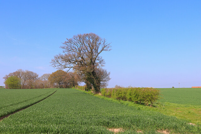
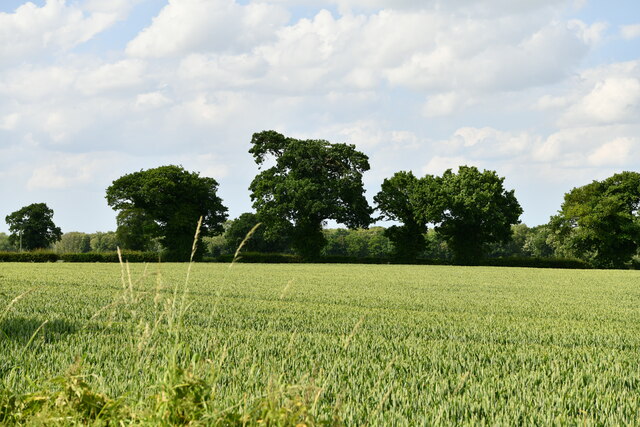
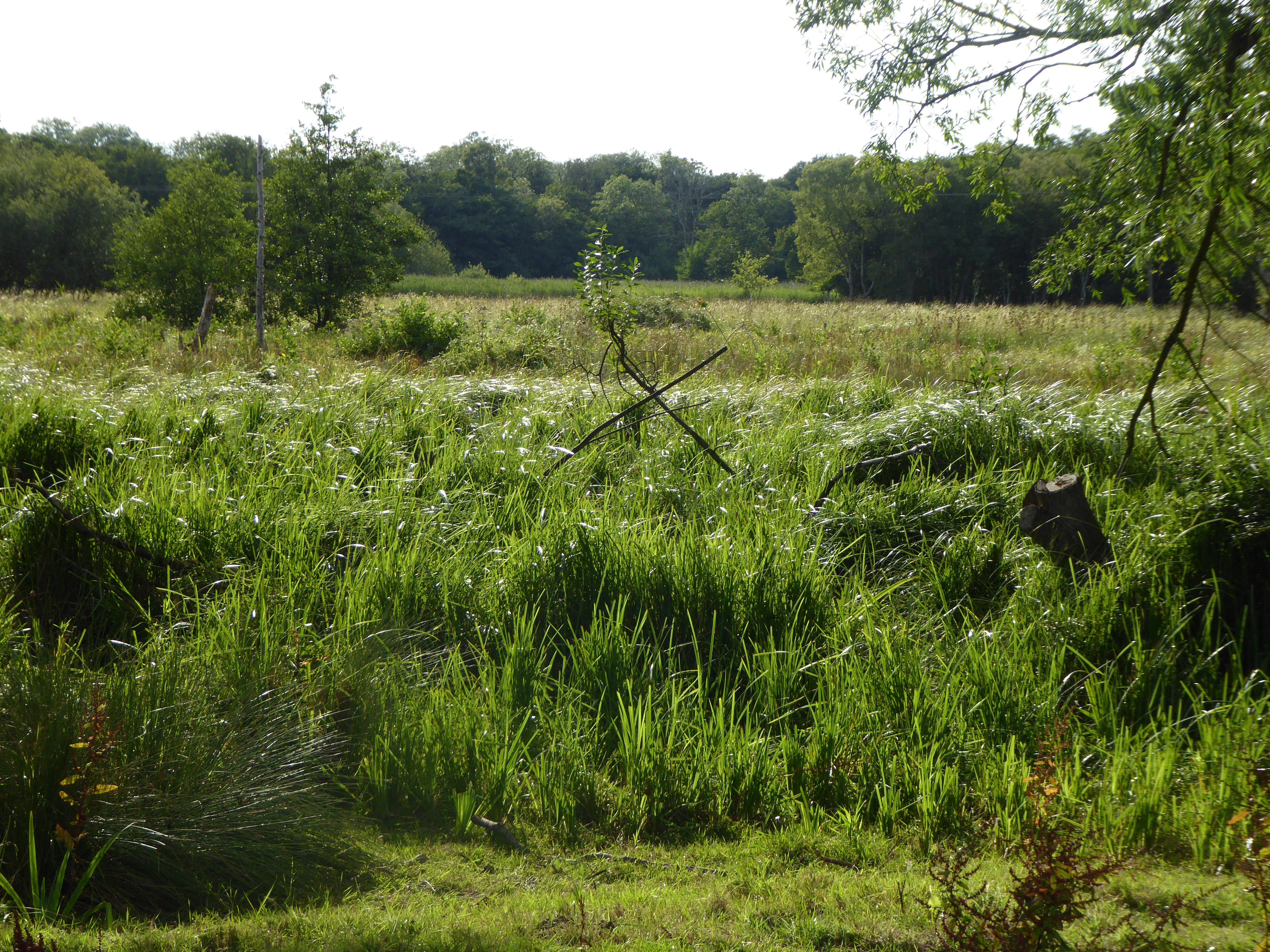
The village of Halvergate is nestled in the heart of the Norfolk Broads, a renowned national park famous for its wetland landscape and diverse wildlife. The parish is bordered by the River Bure to the east, providing residents and visitors with picturesque views and opportunities for boating and fishing.
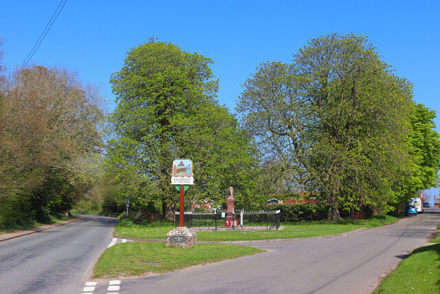
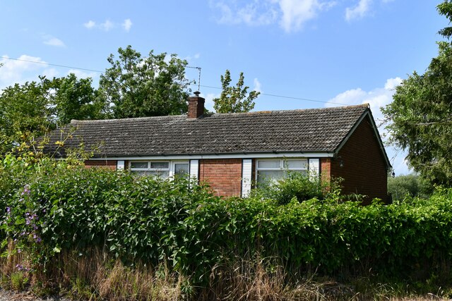
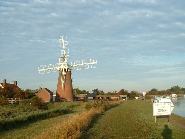
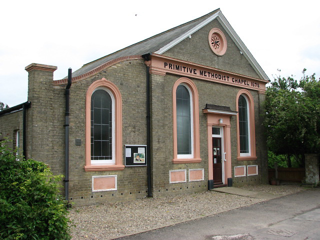
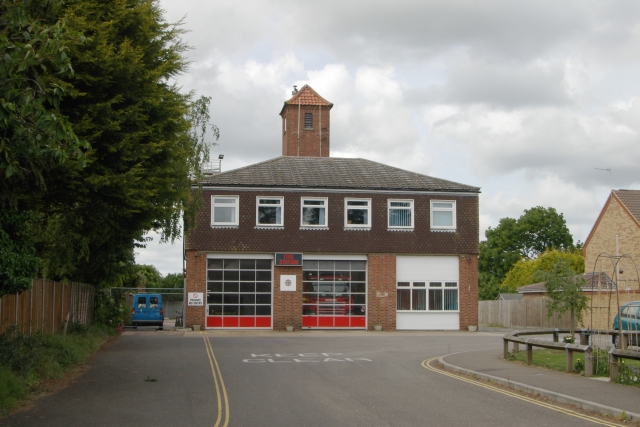
Halvergate is known for its charming rural character and traditional English countryside scenery. The village itself boasts a range of historic buildings, including St. Peter and St. Paul Church, which dates back to the 14th century. Other notable landmarks in the area include Halvergate Mill, a windmill that has been beautifully restored and now serves as a private residence.
The parish is also home to several nature reserves, including Halvergate Marshes and Bure Marshes, which offer stunning walks and birdwatching opportunities. Local amenities include a primary school, a village hall, and a pub, providing a sense of community for residents.
Overall, Halvergate is a peaceful and picturesque civil parish, offering a tranquil retreat for those seeking to explore the natural beauty of the Norfolk Broads and experience the charm of rural Norfolk.
If you have any feedback on the listing, please let us know in the comments section below.
Halvergate Images
Images are sourced within 2km of 52.615133/1.568346 or Grid Reference TG4107. Thanks to Geograph Open Source API. All images are credited.


Halvergate is located at Grid Ref: TG4107 (Lat: 52.615133, Lng: 1.568346)
Administrative County: Norfolk
District: Broadland
Police Authority: Norfolk
What 3 Words
///pools.corporate.stunts. Near Acle, Norfolk
Nearby Locations
Related Wikis
Tunstall, Norfolk
Tunstall is a village and former civil parish, now in the parish of Halvergate, in the Broadland district of Norfolk, England. It lies some 14 miles (22...
Halvergate
Halvergate is a village and civil parish in the English county of Norfolk, north of Reedham, between the Rivers Bure and Yare, within The Broads. To the...
Decoy Carr, Acle
Decoy Carr, Acle is a 56-hectare (140-acre) biological Site of Special Scientific Interest south of Acle in Norfolk. It is part of the Broadland Ramsar...

Damgate Marshes, Acle
Damgate Marshes, Acle is a 64.7-hectare (160-acre) biological Site of Special Scientific Interest between Norwich and Great Yarmouth in Norfolk. It is...

St Mary's Church, Moulton
St Mary's Church is a redundant Anglican round-tower church near the village of Moulton St Mary, Norfolk, England. It is recorded in the National Heritage...

Blofield and Flegg Rural District
Blofield and East and West Flegg Rural Districts were adjacent rural districts in Norfolk, England from 1894 to 1935.They were formed under the Local Government...

Freethorpe
Freethorpe is a village and civil parish in the English of Norfolk. The village is located 7.2 miles (11.6 km) south-west of Great Yarmouth and 11 miles...
Acle
Acle ( AY-kəl) is a market town on the River Bure on the Norfolk Broads in Norfolk, located halfway between Norwich and Great Yarmouth. It has the only...
Related Videos
Circular Walk From The Bridge Inn Acle #walking #boats #riverside
Hi everyone , Circular Walk From The Bridge Inn Acle #walking #boats #riverside In today's video , I show you the walk that starts ...


Boating Holiday - Day 2
Our first 'Boating Holiday' to the Norfolk Broads. Booked via Richardsons Boating Holidays (Stalham), sailing from June 6th - June ...

Moulton St Mary Norfolk
A brief visit to the charming church of St Mary. Inside are medieval wall paintings and coffins.
Nearby Amenities
Located within 500m of 52.615133,1.568346Have you been to Halvergate?
Leave your review of Halvergate below (or comments, questions and feedback).