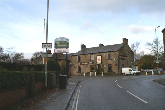
Haigh
Civil Parish in Lancashire Wigan
England
Haigh

Haigh is a civil parish located in the borough of Wigan, in the county of Lancashire, England. Situated approximately 5 miles northwest of Wigan town center, Haigh is a picturesque village surrounded by beautiful countryside. The parish covers an area of around 2.9 square miles and has a population of around 1,500 residents.
The village is well-known for its historic Haigh Hall, a Grade II listed country house that dates back to the 19th century. Set in Haigh Country Park, the hall is surrounded by extensive parkland, woodlands, and formal gardens, making it a popular destination for tourists and locals alike.
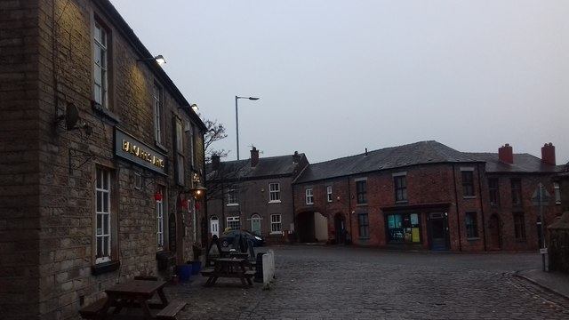
In addition to its natural beauty, Haigh offers a range of amenities and attractions. The village has a primary school, a church, and a village hall, serving as a focal point for community activities and events. There are also several pubs and restaurants, providing options for dining and socializing.
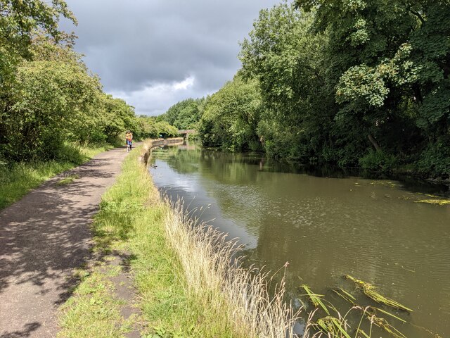
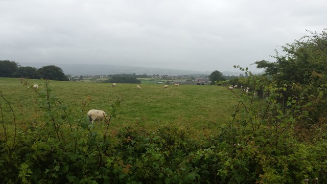
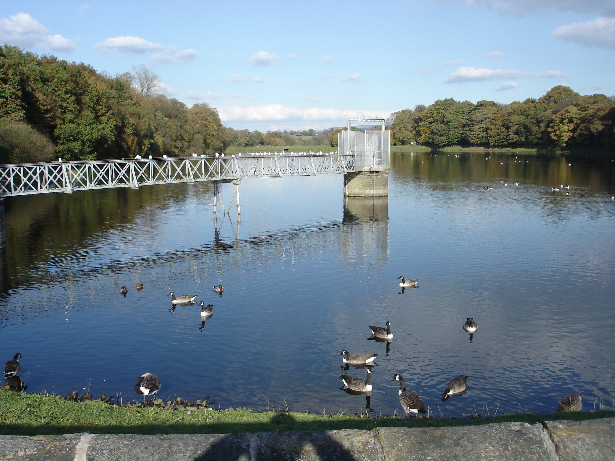
Outdoor enthusiasts enjoy the numerous walking and cycling trails in the area, including the Leeds and Liverpool Canal towpath, which runs through Haigh. The village is also home to a golf club and a fishing lake.
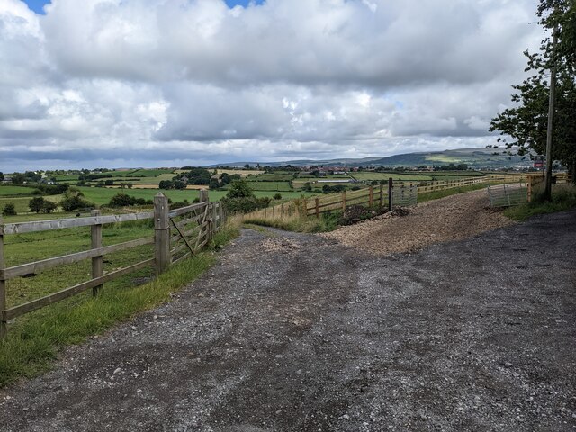
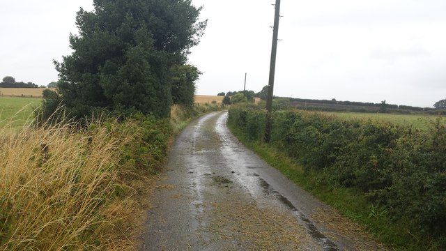
Haigh has a rich history, with evidence of human activity in the area dating back to the Bronze Age. Over the years, the village has seen various industries, including coal mining and quarrying. Today, it retains its rural charm and offers a peaceful and idyllic setting for residents and visitors alike.
If you have any feedback on the listing, please let us know in the comments section below.
Haigh Images
Images are sourced within 2km of 53.5764/-2.614299 or Grid Reference SD5909. Thanks to Geograph Open Source API. All images are credited.


Haigh is located at Grid Ref: SD5909 (Lat: 53.5764, Lng: -2.614299)
Administrative County: Greater Manchester
District: Wigan
Police Authority: Greater Manchester
What 3 Words
///booth.dine.dated. Near Blackrod, Manchester
Nearby Locations
Related Wikis

Haigh Hall
Haigh Hall is a historic country house in Haigh, Wigan, Greater Manchester, England. Built between 1827 and 1840 for James Lindsay, 7th Earl of Balcarres...

Haigh Hall Miniature Railway
Haigh Hall Miniature Railway (HHMR) is a 15 in (381 mm) gauge miniature railway, situated in the grounds of Haigh Country Park in Haigh, Greater Manchester...

St David's Church, Haigh
St David's Church is in Copperas Lane, Haigh, Wigan, Greater Manchester, England. It is an active Anglican parish church in the deanery of Wigan, the archdeaconry...
Haigh, Greater Manchester
Haigh () is a village and civil parish in the Metropolitan Borough of Wigan, Greater Manchester, England. Historically part of Lancashire, it is located...

Red Rock railway station
Red Rock railway station stood in Red Rock, a hamlet between Standish and Haigh, originally in Lancashire now within Greater Manchester, England. The railway...
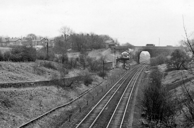
Boar's Head railway station
Boar's Head railway station served the southern part of the village of Standish. == History == The Wigan Branch Railway (WBR) was authorised on 29 May...

Worthington, Greater Manchester
Worthington is a civil parish within the Metropolitan Borough of Wigan, in Greater Manchester, England, about four miles (6.4 km) north of Wigan. The parish...
Worthington Lakes
Worthington Lakes is a series of three reservoirs in the north of the borough of Wigan, Greater Manchester (from south to north: Worthington, Arley and...
Nearby Amenities
Located within 500m of 53.5764,-2.614299Have you been to Haigh?
Leave your review of Haigh below (or comments, questions and feedback).