Haddon

Civil Parish in Huntingdonshire Huntingdonshire

England

Haddon

Lane to Haddon
Lane to Haddon Credit: Jonathan Thacker

Haddon is a civil parish located in the district of Huntingdonshire, Cambridgeshire, England. It is situated approximately 1.5 miles southwest of the town of Peterborough and covers an area of about 2.5 square miles. The parish is predominantly rural, with a small population of around 200 residents.

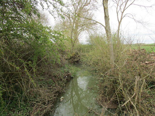
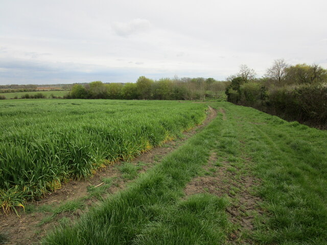
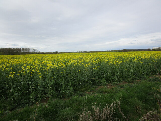
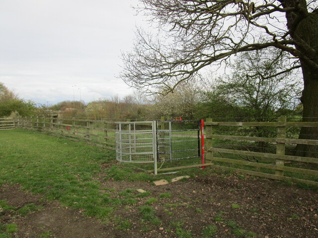
Haddon is known for its picturesque landscape, characterized by rolling hills, open fields, and scattered woodlands. The area is dotted with traditional English cottages and farmhouses, adding to its charm. The River Nene, one of the major rivers in the region, flows through the parish, providing scenic views and recreational opportunities for locals and visitors alike.

Despite its small size, Haddon has a close-knit community that actively participates in various local events and activities. The parish church, dedicated to St. Mary the Virgin, serves as a focal point for the community and showcases the rich history of the area. Haddon also benefits from its proximity to Peterborough, which offers a range of amenities such as shops, schools, and healthcare facilities.

The surrounding countryside of Haddon provides ample opportunities for outdoor enthusiasts to explore nature through walking, cycling, and horseback riding. The nearby Ferry Meadows Country Park offers extensive green spaces, lakes, and play areas for families to enjoy.

In summary, Haddon is a small but picturesque civil parish in Huntingdonshire, offering a rural lifestyle and access to natural beauty while benefiting from nearby urban amenities.

If you have any feedback on the listing, please let us know in the comments section below.
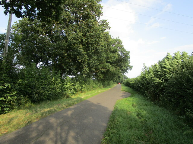
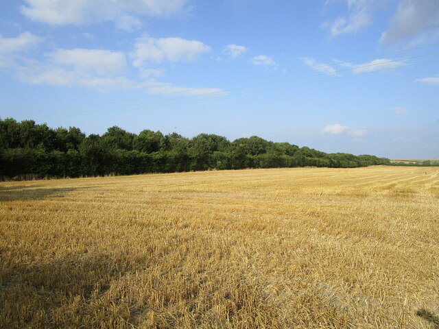
Haddon Images

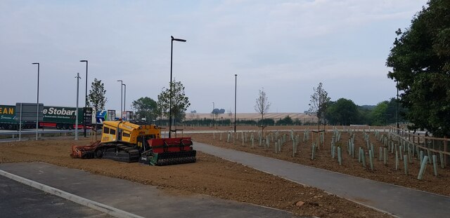
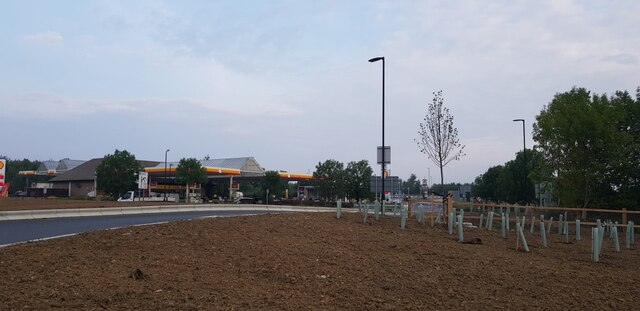
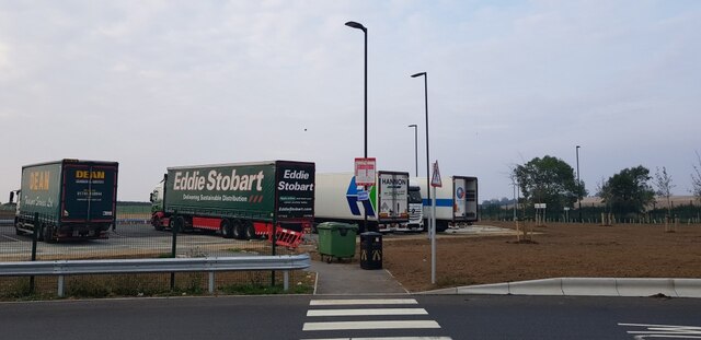
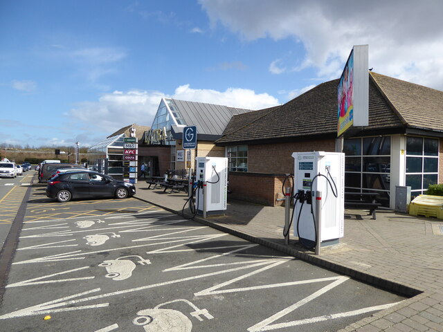
Images are sourced within 2km of 52.522464/-0.328358 or Grid Reference TL1392. Thanks to Geograph Open Source API. All images are credited.

Lane to Haddon
Lane to Haddon
Stubble field by the A605 The A605 is hidden by the trees on the left.
Stubble field by the A605
The A605 is hidden by the trees on the left.
Peterborough Services At the A1/A1(M)/A605/A1139 interchange. Looking west, from the entrance to the Extra concourse.
Peterborough Services
At the A1/A1(M)/A605/A1139 interchange. Looking west, from the entrance to the Extra concourse.
Peterborough Services At the A1/A1(M)/A605/A1139 interchange. Looking northwest, from the entrance to the Extra concourse.
Peterborough Services
At the A1/A1(M)/A605/A1139 interchange. Looking northwest, from the entrance to the Extra concourse.
Peterborough Services At the A1/A1(M)/A605/A1139 interchange. Looking south to the entrance to the Extra concourse.
Peterborough Services
At the A1/A1(M)/A605/A1139 interchange. Looking south to the entrance to the Extra concourse.
Peterborough Services At the A1/A1(M)/A605/A1139 interchange. Looking northeast, from the entrance to the Extra concourse.
Peterborough Services
At the A1/A1(M)/A605/A1139 interchange. Looking northeast, from the entrance to the Extra concourse.
Peterborough services Looking towards the service station building from a recent extension of the car park.
Peterborough services
Looking towards the service station building from a recent extension of the car park.
Lorry and coach park Looking across a recent extension of the services at Peterborough.
Lorry and coach park
Looking across a recent extension of the services at Peterborough.
Tree planting at the services There has been a recent extension of the services at Peterborough.
Tree planting at the services
There has been a recent extension of the services at Peterborough.
Towards Shell Looking across a recent extension of the services at Peterborough.
Towards Shell
Looking across a recent extension of the services at Peterborough.
Zebra crossing and lorry park Looking across part of a recent extension of the services at Peterborough.
Zebra crossing and lorry park
Looking across part of a recent extension of the services at Peterborough.
Peterborough Services No waiting at this electric car charging station. The station on the other side of the area was busy with waiting for spaces.
Peterborough Services
No waiting at this electric car charging station. The station on the other side of the area was busy with waiting for spaces.
Peterborough Services All Ionity chargers are busy!
Peterborough Services
All Ionity chargers are busy!
Billing Brook A minor tributary of the River Nene. Looking downstream.
Billing Brook
A minor tributary of the River Nene. Looking downstream.
Bridleway to Haddon Runs alongside a rather battered field of barley.
Bridleway to Haddon
Runs alongside a rather battered field of barley.
Beacon and shelter by a bridleway near Haddon On top of a very modest hill which nonetheless gives extensive views over Peterborough.
Beacon and shelter by a bridleway near Haddon
On top of a very modest hill which nonetheless gives extensive views over Peterborough.
Field of oilseed rape near Haddon
Footpath gate by Haddon Road The A1(M) passes in the background.
Footpath gate by Haddon Road
The A1(M) passes in the background.
Show me another place!

Haddon is located at Grid Ref: TL1392 (Lat: 52.522464, Lng: -0.328358)

Administrative County: Cambridgeshire

District: Huntingdonshire

Police Authority: Cambridgeshire

What 3 Words

///track.bulky.pose. Near Yaxley, Cambridgeshire

Nearby Locations

Haddon Haddon

Related Wikis

Haddon, Cambridgeshire

Haddon is a village and civil parish in Cambridgeshire, England. Haddon lies approximately 5 miles (8 km) south-west of Peterborough city centre, near...

A605 road

The A605 road is a main road in the English counties of Northamptonshire and Cambridgeshire. == Route (west to east) == The A605 strikes north from junction...

Peterborough transmitting station

The Peterborough transmitting station is a broadcasting and telecommunications facility at Morborne Hill, near Peterborough, England (grid reference TL127913...

Chesterton, Huntingdonshire

Chesterton is a small village and civil parish of exactly 56 households in Cambridgeshire, England. The village lies approximately 5 miles (8 km) west...

Nearby Amenities

Located within 500m of 52.522464,-0.328358
Post Box
Operator: Royal Mail
Ref: PE7 34
Lat/Long: 52.5201894/-0.328672
Haddon
Place: village
Lat/Long: 52.520518/-0.3292857
Haddon Road
Naptan AtcoCode: 0500HHADD001
Naptan Bearing: N
Naptan BusStopType: CUS
Naptan CommonName: Haddon Road
Naptan Indicator: opp
Naptan Landmark: Haddon Road
Naptan NaptanCode: cmbdpdma
Naptan ShortCommonName: Haddon Road
Naptan Street: Greenhill Road
Naptan Verified: no
Source: naptan_import
Lat/Long: 52.5203403/-0.3285613
Haddon Road
Naptan AtcoCode: 0500HHADD002
Naptan Bearing: S
Naptan BusStopType: CUS
Naptan CommonName: Haddon Road
Naptan Indicator: near
Naptan Landmark: Haddon Road
Naptan NaptanCode: cmbdpdmd
Naptan ShortCommonName: Haddon Road
Naptan Street: Greenhill Road
Naptan Verified: no
Source: naptan_import
Lat/Long: 52.5203566/-0.3284428
Power: pole
Lat/Long: 52.5217277/-0.3278813
Power: pole
Lat/Long: 52.5214413/-0.3227824
Power: pole
Lat/Long: 52.5207501/-0.3220703
Power: pole
Lat/Long: 52.5219774/-0.3269586
Power: pole
Lat/Long: 52.5225649/-0.3240189
Power: pole
Lat/Long: 52.5208733/-0.3222071
Power: pole
Lat/Long: 52.5220495/-0.323398
Power: transformer
Lat/Long: 52.5214698/-0.3287773
Power: pole
Lat/Long: 52.5222858/-0.3252755
Bench
Lat/Long: 52.5184219/-0.3294623
Bench
Lat/Long: 52.5182793/-0.3296692
Barrier: kissing_gate
Lat/Long: 52.5181516/-0.3293625
The data included in this document is from www.openstreetmap.org. The data is made available under ODbL.

Have you been to Haddon?

Leave your review of Haddon below (or comments, questions and feedback).