Great Witchingham
Civil Parish in Norfolk Broadland
England
Great Witchingham
Great Witchingham is a civil parish located in the county of Norfolk, in the eastern part of England. It is situated approximately 12 miles to the northwest of the city of Norwich. The parish covers an area of around 15 square miles and is primarily rural in nature.
The village of Great Witchingham is the main settlement within the parish. It is a small and charming village with a population of around 400 residents. The village is known for its picturesque landscapes and traditional English countryside charm.
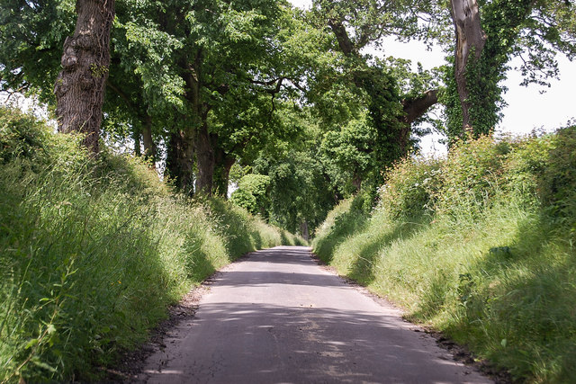
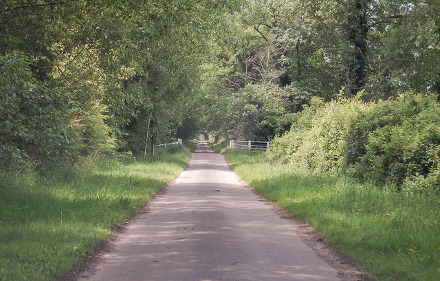
Great Witchingham is surrounded by beautiful farmland and open meadows, which adds to its rural appeal. The River Wensum, a tributary of the River Yare, runs through the parish, providing a scenic backdrop for outdoor activities such as fishing and boating.
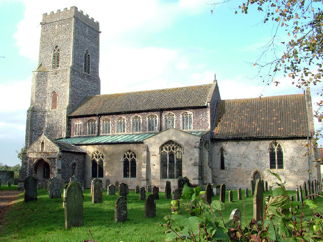
The village is home to St. Mary's Church, a Grade I listed building dating back to the 14th century. The church is known for its beautiful stained glass windows and intricate architectural details. It serves as a place of worship and a focal point for community gatherings and events.
Great Witchingham is also home to a number of historic buildings, including Witchingham Hall, a grand country house that dates back to the 17th century. The hall is surrounded by extensive parkland and gardens, making it a popular destination for visitors interested in history and horticulture.
Overall, Great Witchingham offers a tranquil and idyllic setting for those seeking a peaceful retreat in the Norfolk countryside. Its rich history, natural beauty, and close-knit community make it a charming place to live or visit.
If you have any feedback on the listing, please let us know in the comments section below.
Great Witchingham Images
Images are sourced within 2km of 52.734051/1.108331 or Grid Reference TG0919. Thanks to Geograph Open Source API. All images are credited.


Great Witchingham is located at Grid Ref: TG0919 (Lat: 52.734051, Lng: 1.108331)
Administrative County: Norfolk
District: Broadland
Police Authority: Norfolk
What 3 Words
///definite.logs.propelled. Near Reepham, Norfolk
Nearby Locations
Related Wikis
Great Witchingham
Great Witchingham is a village and civil parish in the English county of Norfolk about 11 miles (18 km) north-west of Norwich. It covers an area of 9.12...

River Ainse (or Eyn)
The River Ainse (or Eyn) is a small river in the county of Norfolk. It is a tributary of the River Wensum which it merges with at Lenwade. The River Ainse...
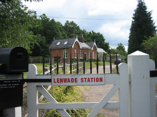
Lenwade railway station
Lenwade railway station was a railway station in North Norfolk, England. It was built by the Lynn and Fakenham Railway Company in 1882 and taken over by...

Lenwade
Lenwade is a village in the civil parish of Great Witchingham, Norfolk, situated in the Wensum Valley adjacent to the A1067 road 14 miles (23 km) south...
Nearby Amenities
Located within 500m of 52.734051,1.108331Have you been to Great Witchingham?
Leave your review of Great Witchingham below (or comments, questions and feedback).