Great Staughton
Civil Parish in Huntingdonshire Huntingdonshire
England
Great Staughton
Great Staughton is a civil parish located in the district of Huntingdonshire, in the county of Cambridgeshire, England. It is a rural village situated approximately 6 miles to the west of St Neots and 18 miles to the north-west of Cambridge. The parish covers an area of around 2,600 acres and has a population of around 1,000 residents.
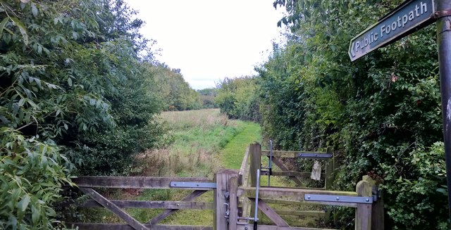
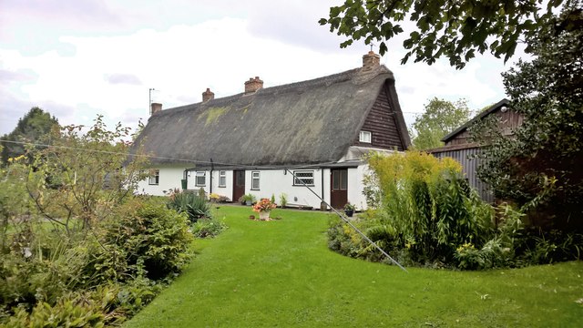
The village is known for its picturesque and tranquil setting, surrounded by open countryside and farmland. It has a rich history that dates back to the Anglo-Saxon period, with evidence of settlements and archaeological finds in the area.
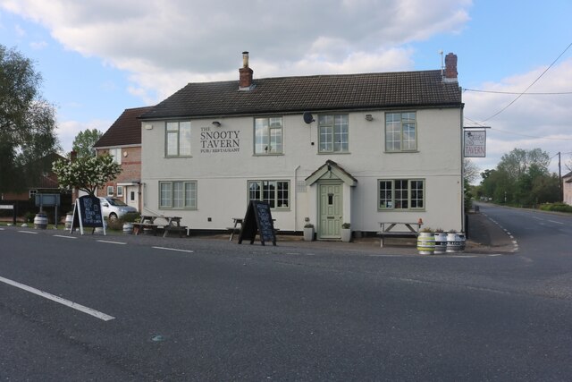
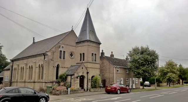
Great Staughton is predominantly a residential village with a close-knit community. It offers a range of amenities, including a primary school, a village hall, a local pub, and a parish church. The village also has a cricket ground and a recreation ground, providing outdoor spaces for sports and leisure activities.
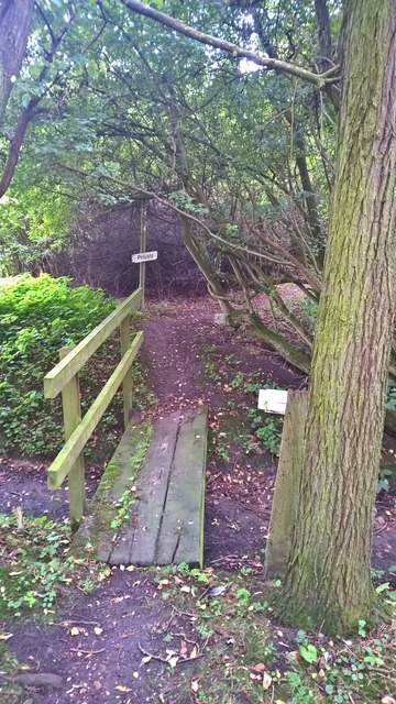
The surrounding countryside provides opportunities for outdoor pursuits such as walking, cycling, and horse riding. The village is also well-connected, with good transport links to nearby towns and cities, making it an attractive location for commuters.
Overall, Great Staughton is a charming and peaceful village, offering a high quality of life for its residents, with its rural setting, community spirit, and convenient access to amenities and transport links.
If you have any feedback on the listing, please let us know in the comments section below.
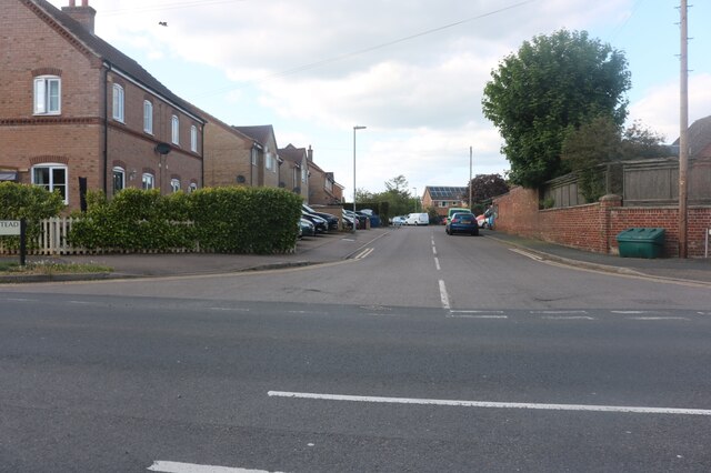
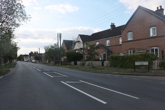
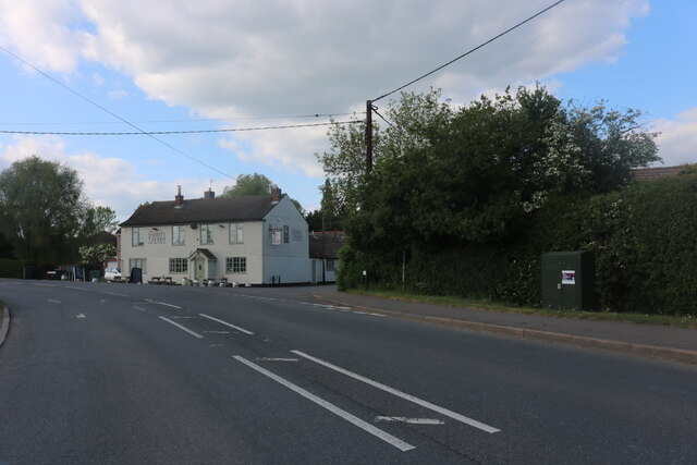
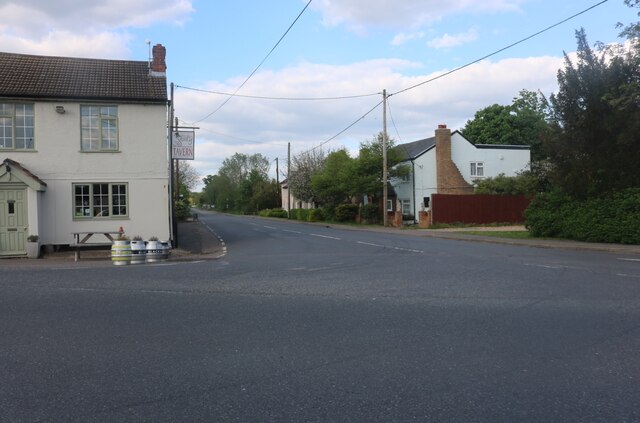
Great Staughton Images
Images are sourced within 2km of 52.263025/-0.34845 or Grid Reference TL1264. Thanks to Geograph Open Source API. All images are credited.


Great Staughton is located at Grid Ref: TL1264 (Lat: 52.263025, Lng: -0.34845)
Administrative County: Cambridgeshire
District: Huntingdonshire
Police Authority: Cambridgeshire
What 3 Words
///pinches.filed.likening. Near Kimbolton, Cambridgeshire
Nearby Locations
Related Wikis

Great Staughton
Great Staughton is a village and civil parish in Cambridgeshire, England. Great Staughton lies approximately 8 miles (13 km) south-west of Huntingdon....
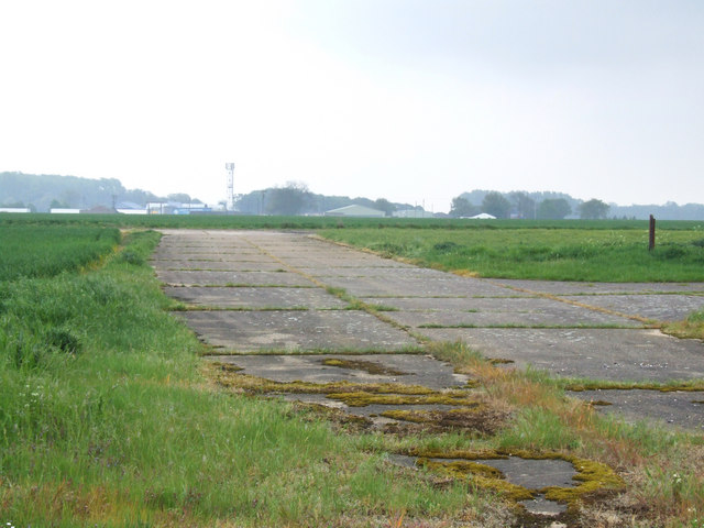
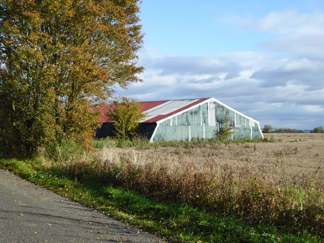
RAF Little Staughton
Royal Air Force Little Staughton or more simply RAF Little Staughton is a former Royal Air Force station located 1.7 miles (2.7 km) south of Great Staughton...

Church of All Saints, Little Staughton
Church of All Saints is a Grade I listed church in Little Staughton, Bedfordshire, England. Originally known as the Church of St Margaret, it was largely...

Perry Woods
Perry Woods is a 67.9-hectare (168-acre) biological Site of Special Scientific Interest south-east of Kimbolton in Cambridgeshire. It is composed of three...
Nearby Amenities
Located within 500m of 52.263025,-0.34845Have you been to Great Staughton?
Leave your review of Great Staughton below (or comments, questions and feedback).