Brokes

Settlement in Yorkshire Richmondshire

England

Brokes

Entrance to Bourlon Barracks
Entrance to Bourlon Barracks Credit: Alex McGregor

Brokes is a small village located in the county of Yorkshire, England. Situated in the picturesque countryside, it is surrounded by rolling hills and lush greenery, offering a serene and tranquil atmosphere. The village is part of the larger district of Yorkshire Dales, renowned for its stunning landscapes and outdoor recreational activities.

Although Brokes is a relatively small community, it boasts a rich history dating back centuries. The village is dotted with charming stone cottages and historic buildings, showcasing its traditional English character. Its narrow streets and quaint shops exude a sense of old-world charm, attracting visitors seeking an authentic rural experience.

The village is also home to a close-knit community that takes pride in preserving their local heritage. Regular events and festivals are organized throughout the year, celebrating the area's culture and traditions. These gatherings provide an opportunity for residents and visitors alike to come together and enjoy live music, local food, and traditional crafts.

Nature enthusiasts are particularly drawn to Brokes for its proximity to the Yorkshire Dales National Park. The park offers a wide range of outdoor activities such as hiking, cycling, and fishing. The stunning scenery provides a perfect backdrop for exploring the area's diverse flora and fauna.

In summary, Brokes is a charming village nestled in the heart of Yorkshire, offering a tranquil escape from the hustle and bustle of city life. With its rich history, beautiful landscapes, and sense of community, it is a hidden gem for those seeking an authentic rural experience.

If you have any feedback on the listing, please let us know in the comments section below.
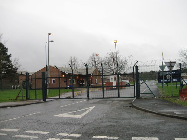
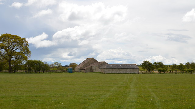
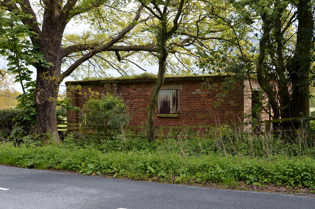
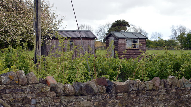
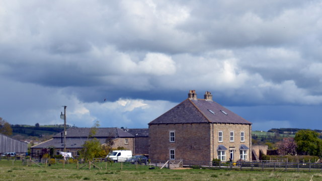
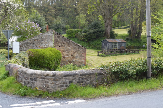
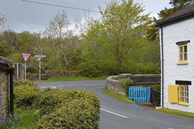
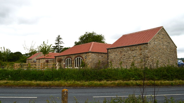
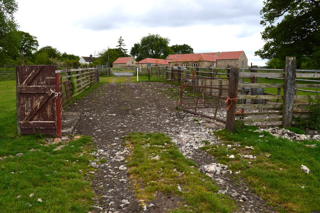
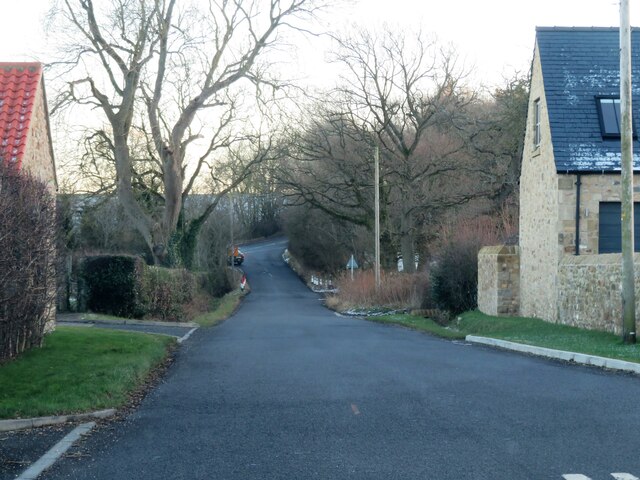
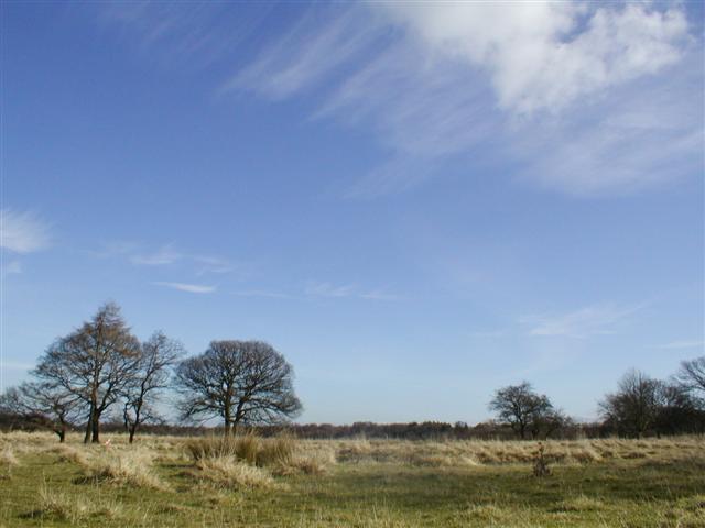
Brokes Images

Images are sourced within 2km of 54.392814/-1.76153 or Grid Reference SE1599. Thanks to Geograph Open Source API. All images are credited.

Entrance to Bourlon Barracks
Bridge over Badger Beck The bridge over Badger Beck looking South East from near Hudswell Grange. Taken while staying at the Grange whilst on exercise.
Bridge over Badger Beck
The bridge over Badger Beck looking South East from near Hudswell Grange. Taken while staying at the Grange whilst on exercise.
Waithwith Bank Farm
Waithwith Bank Farm
Brokes Close Shuttered up, this is apparently no longer a dwelling/farm. However the portable toilets would indicate that it is being used by MOD for training exercises.
Brokes Close
Shuttered up, this is apparently no longer a dwelling/farm. However the portable toilets would indicate that it is being used by MOD for training exercises.
Derelict Building north edge of Catterick Garrison This appears to have been changing/toilet facilities and is presumably MOD related in view of its position.
Derelict Building north edge of Catterick Garrison
This appears to have been changing/toilet facilities and is presumably MOD related in view of its position.
Two sheds? I got chatting to the 89 year old lady whose garden this is. She has lived there for 77 years. The left hand "shed" was apparently the local chapel, built by her late husband sixty odd years ago.
Two sheds?
I got chatting to the 89 year old lady whose garden this is. She has lived there for 77 years. The left hand "shed" was apparently the local chapel, built by her late husband sixty odd years ago.
Middlemoor Farm About the only thing of note in this grid square!
Middlemoor Farm
About the only thing of note in this grid square!
Stone Outbuilding and Garden at Sandbeck Note also the shed with picture window and the extra long bench saw (now derelict) for cutting tree trunks.
Stone Outbuilding and Garden at Sandbeck
Note also the shed with picture window and the extra long bench saw (now derelict) for cutting tree trunks.
Road Junction near Brokes Meeting of minor roads between Leyburn, Richmond and Catterick Garrison
Road Junction near Brokes
Meeting of minor roads between Leyburn, Richmond and Catterick Garrison
Barn conversion at the former Woodhouse Farm Contrast with earlier geograph for this square.
Barn conversion at the former Woodhouse Farm
Contrast with earlier geograph for this square.
Sheep Pens A rather Heath Robinson arrangement for penning sheep prior to loading onto trailers.
Sheep Pens
A rather Heath Robinson arrangement for penning sheep prior to loading onto trailers.
Meadowland at Middlemoor Farm Recently cut grassland at Middlemoor. The view is north towards the linear village of Hudswell.
Meadowland at Middlemoor Farm
Recently cut grassland at Middlemoor. The view is north towards the linear village of Hudswell.
Sand Beck This little tributary of the Swale runs through a deep wooded valley on its way towards Richmond.
Sand Beck
This little tributary of the Swale runs through a deep wooded valley on its way towards Richmond.
Approach to the main road from Woodhouse Farm Heading south east along Sandbeck towards the junction with A6136.
Approach to the main road from Woodhouse Farm
Heading south east along Sandbeck towards the junction with A6136.
Hill Top Farm, Waithwith
Army Training Area Taken during an orienteering event. The area is a "dry" Army Training Area. View east.
Army Training Area
Taken during an orienteering event. The area is a "dry" Army Training Area. View east.
Pasture near Middlemoor Farm Part of the Catterick Garrison Military Training Area. Seen from the direct road from Richmond to Leyburn.
Pasture near Middlemoor Farm
Part of the Catterick Garrison Military Training Area. Seen from the direct road from Richmond to Leyburn.
Middlemoor Farm Livery stables, liberally advertised by posters in many of the windows.
Middlemoor Farm
Livery stables, liberally advertised by posters in many of the windows.
Show me another place!

Brokes is located at Grid Ref: SE1599 (Lat: 54.392814, Lng: -1.76153)

Division: North Riding

Administrative County: North Yorkshire

District: Richmondshire

Police Authority: North Yorkshire

What 3 Words

///applies.vote.canoe. Near Richmond, North Yorkshire

Nearby Locations

Brokes

Related Wikis

Hudswell, North Yorkshire

Hudswell is a village and civil parish on the border of the Yorkshire Dales, in North Yorkshire, England. The population at the ONS Census 2011 was 353...

St Joseph and St Francis Xavier Church

St Joseph and St Francis Xavier Church is a Roman Catholic Parish church in Richmond, North Yorkshire. It is situated between Newbiggin and Victoria Road...
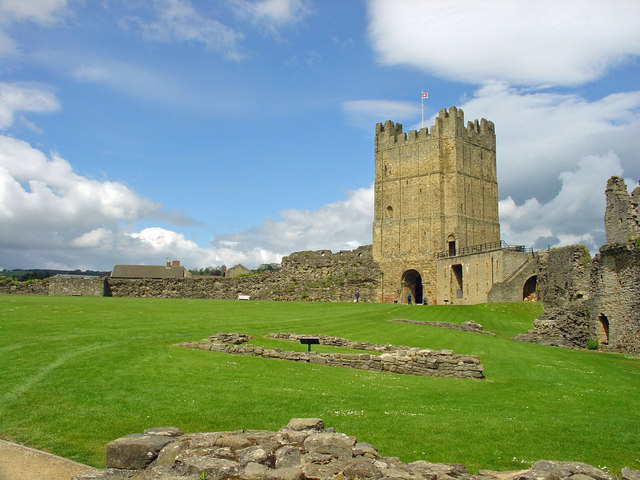
Richmond Castle

Richmond Castle in Richmond, North Yorkshire, England, stands in a commanding position above the River Swale, close to the centre of the town of Richmond...

Richmond Town Hall, North Yorkshire

Richmond Town Hall is a municipal building in the Market Place, Richmond, North Yorkshire, England. The structure, which is the meeting place of Richmond...

Green Howards Regimental Museum

The Green Howards Regimental Museum is the museum of the Green Howards infantry regiment of the British Army. It is located in the old Trinity Church in...

Richmond, North Yorkshire

Richmond is a market town and civil parish in the district and county of North Yorkshire, England. It is in the Swaledale valley, near the River Swale...

Georgian Theatre Royal

The Georgian Theatre Royal is a theatre and historic Georgian playhouse in the market town of Richmond, North Yorkshire, England. It is among the oldest...

Richmond Falls

Richmond Falls are a series of waterfalls along the River Swale, they are situated at grid reference NZ173006 near to the town centre of Richmond, North...

Nearby Amenities

Located within 500m of 54.392814,-1.76153
Building: yes
Lat/Long: 54.3890296/-1.7648522
Place: farm
Lat/Long: 54.391316/-1.7590586
Place: farm
Lat/Long: 54.3931775/-1.7620841
Building: yes
Lat/Long: 54.3941519/-1.7607752
Building: yes
Lat/Long: 54.3924029/-1.7579535
Building: yes
Lat/Long: 54.3925653/-1.7560438
Building: yes
Lat/Long: 54.3926903/-1.7545417
Place: farm
Lat/Long: 54.3920843/-1.7555395
Building: yes
Lat/Long: 54.3916845/-1.7613331
Building: yes
Lat/Long: 54.3910848/-1.7623201
Building: yes
Lat/Long: 54.394483/-1.7598096
The data included in this document is from www.openstreetmap.org. The data is made available under ODbL.

Have you been to Brokes?

Leave your review of Brokes below (or comments, questions and feedback).