Great Horkesley

Civil Parish in Essex Colchester

England

Great Horkesley

The Beehive Little Horkesley According to What Pub <span class="nowrap"><a title="https://whatpub.com/pubs/COL/10339/beehive-little-horkesley" rel="nofollow ugc noopener" href="https://whatpub.com/pubs/COL/10339/beehive-little-horkesley">Link</a><img style="margin-left:2px;" alt="External link" title="External link - shift click to open in new window" src="https://s1.geograph.org.uk/img/external.png" width="10" height="10"/></span> The Bee Hive was open again after a period of closure as of March 2023.
The Beehive Little Horkesley Credit: Glyn Baker

Great Horkesley is a civil parish located in the Colchester district of Essex, England. Situated in the east of the country, it is approximately 3 miles north of the town of Colchester. The parish covers an area of around 7.5 square miles and has a population of approximately 4,000 residents.

The village of Great Horkesley is surrounded by picturesque countryside and offers a peaceful and tranquil environment. It is known for its charming rural setting, with several farms and fields dotting the landscape. The parish is rich in history, with evidence of human habitation dating back to the Roman period.

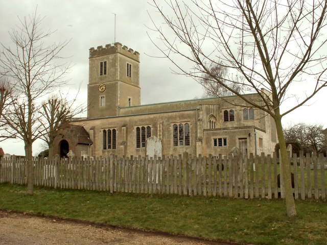
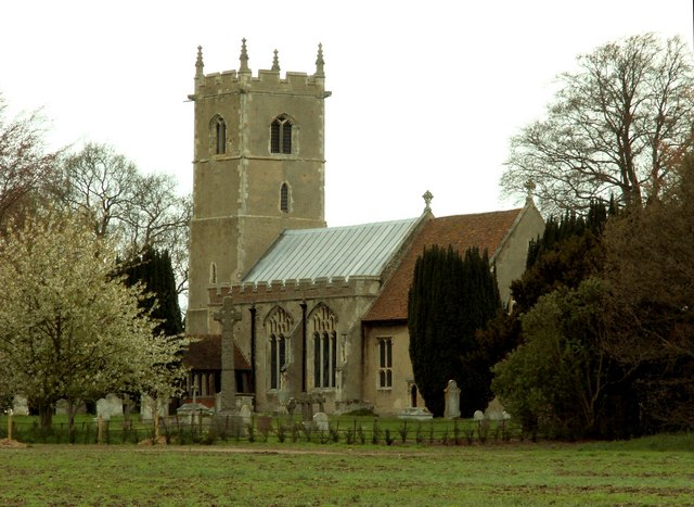
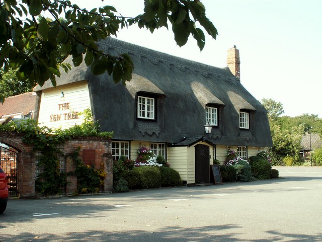
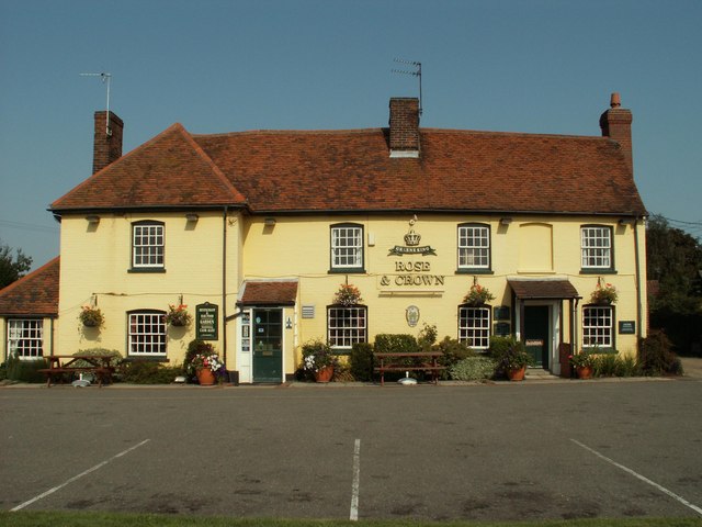
Great Horkesley boasts a strong community spirit, with various community organizations and activities bringing residents together. The village has a primary school, a village hall, and a church, all of which play integral roles in the local community. There are also a number of local businesses, including shops and pubs, which provide essential services and create a sense of community.

The area offers a range of recreational activities for residents and visitors to enjoy. There are numerous walking trails and nature reserves, allowing outdoor enthusiasts to explore the beautiful surroundings. The nearby Dedham Vale Area of Outstanding Natural Beauty provides opportunities for hiking, cycling, and wildlife watching.

Overall, Great Horkesley offers a charming and idyllic setting for those seeking a peaceful countryside lifestyle, while still benefiting from close proximity to the amenities and conveniences of nearby Colchester.

If you have any feedback on the listing, please let us know in the comments section below.

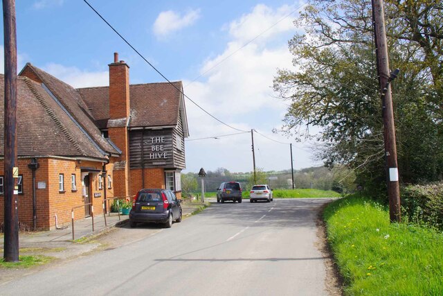
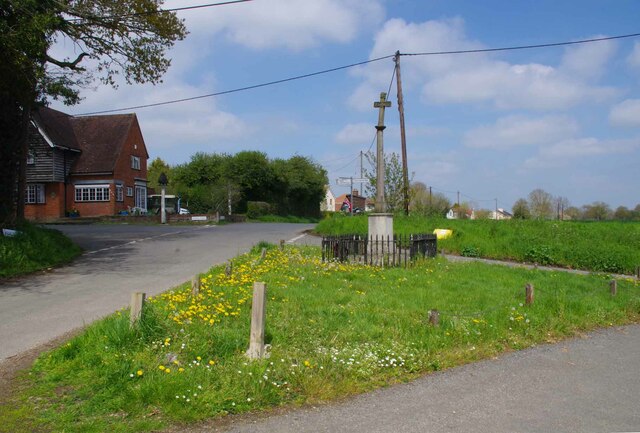
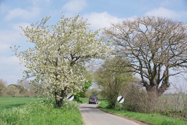
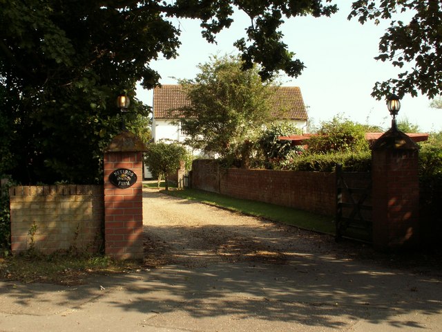
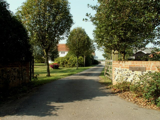
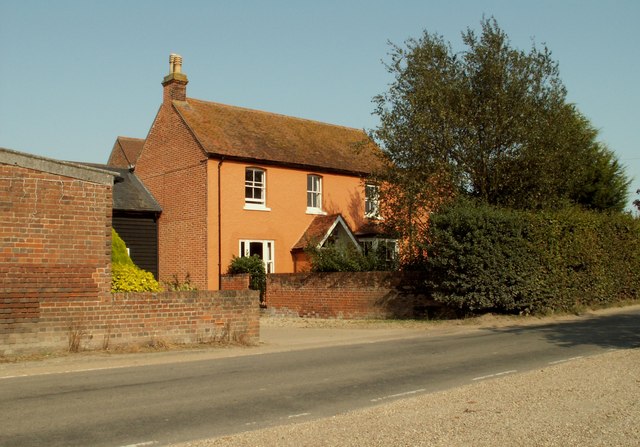
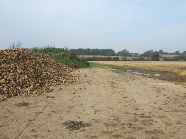
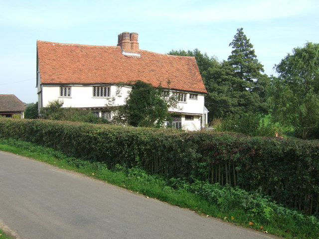
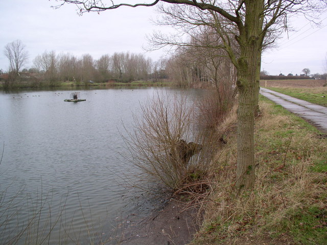
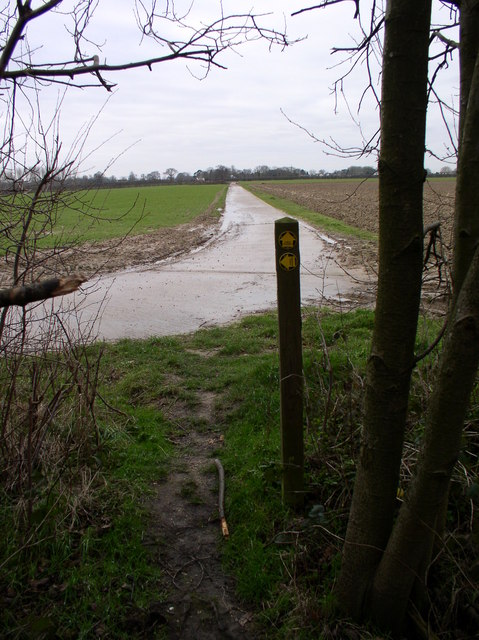
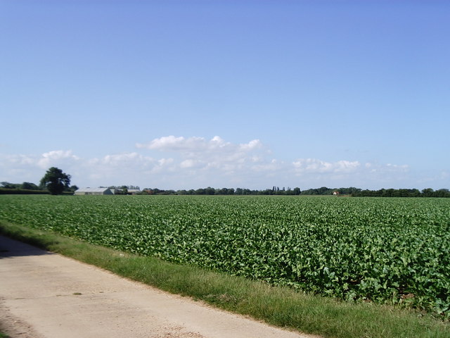
Great Horkesley Images

Images are sourced within 2km of 51.942283/0.872632 or Grid Reference TL9730. Thanks to Geograph Open Source API. All images are credited.

The Beehive Little Horkesley According to What Pub <span class="nowrap"><a title="https://whatpub.com/pubs/COL/10339/beehive-little-horkesley" rel="nofollow ugc noopener" href="https://whatpub.com/pubs/COL/10339/beehive-little-horkesley">Link</a><img style="margin-left:2px;" alt="External link" title="External link - shift click to open in new window" src="https://s1.geograph.org.uk/img/external.png" width="10" height="10"/></span> The Bee Hive was open again after a period of closure as of March 2023.
The Beehive Little Horkesley
According to What Pub LinkExternal link The Bee Hive was open again after a period of closure as of March 2023.
War Memorial Junction in Little Horkesley To the Left is School Road. To the right is Fishponds Hill. Forward is Nayland Road and behind the photographer is Vinesse Road
War Memorial Junction in Little Horkesley
To the Left is School Road. To the right is Fishponds Hill. Forward is Nayland Road and behind the photographer is Vinesse Road
Cherry Blossom by Nayland Road Leaving Little Horkesley village.
Cherry Blossom by Nayland Road
Leaving Little Horkesley village.
St. Peter & St. Paul's church, Little Horkesley, Essex The church we see today is a rebuild of 1958 because the old church was completely destroyed by a bomb in September 1940. However, many of the treasures and monuments from the old church survived and are now housed in the present church. These include three oak effigies.
St. Peter & St. Paul's church, Little Horkesley, Essex
The church we see today is a rebuild of 1958 because the old church was completely destroyed by a bomb in September 1940. However, many of the treasures and monuments from the old church survived and are now housed in the present church. These include three oak effigies.
All Saints church, Great Horkesley, Essex Most of this church is of the perpendicular period though there is evidence of Norman work.  The tower is 13th century.  Oddly, the battlements are built from Roman bricks. The church stands some distance north of the main village area.
All Saints church, Great Horkesley, Essex
Most of this church is of the perpendicular period though there is evidence of Norman work. The tower is 13th century. Oddly, the battlements are built from Roman bricks. The church stands some distance north of the main village area.
'The Yew Tree' inn, Great Horkesley, Essex This inn stands alongside the part of the A.134 that was originally a Roman road out of Colchester.
'The Yew Tree' inn, Great Horkesley, Essex
This inn stands alongside the part of the A.134 that was originally a Roman road out of Colchester.
Lodge at the entrance to Westwood Park, Essex
'Rose & Crown' inn, Great Horkesley, Essex This inn dates back to the 16th century and stands by the side of the A.134 road.
'Rose & Crown' inn, Great Horkesley, Essex
This inn dates back to the 16th century and stands by the side of the A.134 road.
Entrance to Nevards Farm, Great Horkesley, Essex
Coveneys Farm, Great Horkesley, Essex
Lodge Farm, Great Horkesley, Essex
South of Little Horkesley The Sugar Beet Harvest ready for Transport
South of Little Horkesley
The Sugar Beet Harvest ready for Transport
Kings Farm
Kings Farm
Agricultural Reservoir near Great Horkesley A small reservoir next to the Essex Way path
Agricultural Reservoir near Great Horkesley
A small reservoir next to the Essex Way path
Broad Lane, Great Horkesley Quite why this farm track is called Broad Lane is not obvious. This farm track, and the path behind the photographer are part of the Essex Way long distance path
Broad Lane, Great Horkesley
Quite why this farm track is called Broad Lane is not obvious. This farm track, and the path behind the photographer are part of the Essex Way long distance path
Vegetable field near Great Horkesley Taken from the Essex Way footpath.
Vegetable field near Great Horkesley
Taken from the Essex Way footpath.
Vinesse Road, heading towards Little Horkesley
The farmhouse at Kings Farm on Vinesse Road
Show me another place!

Great Horkesley is located at Grid Ref: TL9730 (Lat: 51.942283, Lng: 0.872632)

Administrative County: Essex

District: Colchester

Police Authority: Essex

What 3 Words

///fumes.alarm.skidding. Near Great Horkesley, Essex

Nearby Locations

Great Horkesley

Related Wikis

Great Horkesley

Great Horkesley is a village in the City of Colchester district of Essex, England, approximately 3 miles north of Colchester. Horkesley is located in what...

Little Horkesley

Little Horkesley is a civil parish in the City of Colchester district of Essex, England. It is situated approximately 4 miles north of Colchester on the...

Little Horkesley Priory

Little Horkesley Priory was a priory of Cluniac monks in Essex, England. It was an alien priory, a daughter house of Thetford, Norfolk and dependent on...

Workhouse Hill

Workhouse Hill is a hamlet in the Colchester district, in the English county of Essex. == References == Sources

Nearby Amenities

Located within 500m of 51.942283,0.872632
Mini Roundabout
Lat/Long: 51.9382853/0.8757426
Great Horkesley
Is In: Essex, England, UK
Place: village
Source: NPE
Lat/Long: 51.9458783/0.8747602
Post Office
Great Horkesley Post Office
Addr Postcode: CO6 4BJ
Branch: Great Horkesley
Brand: Post Office
Brand Wikidata: Q1783168
Check Date: 2020-02-20
Contact Website: https://www.postoffice.co.uk/branch-finder/0811165/great-horkesley
Ref Pol Id: 801
Lat/Long: 51.9396523/0.8754323
Shop: wine
Lat/Long: 51.9394847/0.8754238
Bus Stop
School Lane
Naptan AtcoCode: 1500GTHORKPO
Naptan NaptanCode: esxgdtmp
Public Transport: platform
Source: naptan
Lat/Long: 51.9383686/0.8757707
Bus Stop
School Lane
Naptan AtcoCode: 1500GTHORKYO
Naptan NaptanCode: esxgpgtm
Public Transport: platform
Source: naptan
Lat/Long: 51.9391714/0.8756765
Turning Loop
Lat/Long: 51.9426343/0.8762219
Post Box
Mapillary: 170186608440851
Operator: Royal Mail
Operator Wikidata: Q638098
Post Box Type: pillar
Lat/Long: 51.9398135/0.8756769
The data included in this document is from www.openstreetmap.org. The data is made available under ODbL.

Have you been to Great Horkesley?

Leave your review of Great Horkesley below (or comments, questions and feedback).