Great Haseley

Civil Parish in Oxfordshire South Oxfordshire

England

Great Haseley

M40 from A40 The old and new routes towards Oxford run more or less parallel for some way.
M40 from A40 Credit: Robin Webster

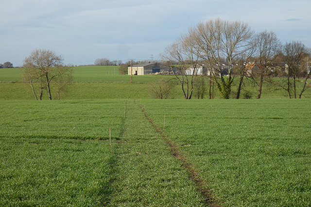
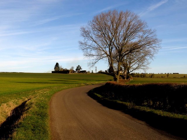
Great Haseley is a civil parish located in the South Oxfordshire district of Oxfordshire, England. It is situated about 8 miles southeast of the city of Oxford and covers an area of approximately 6 square miles. The parish is predominantly rural, with rolling countryside and picturesque landscapes.

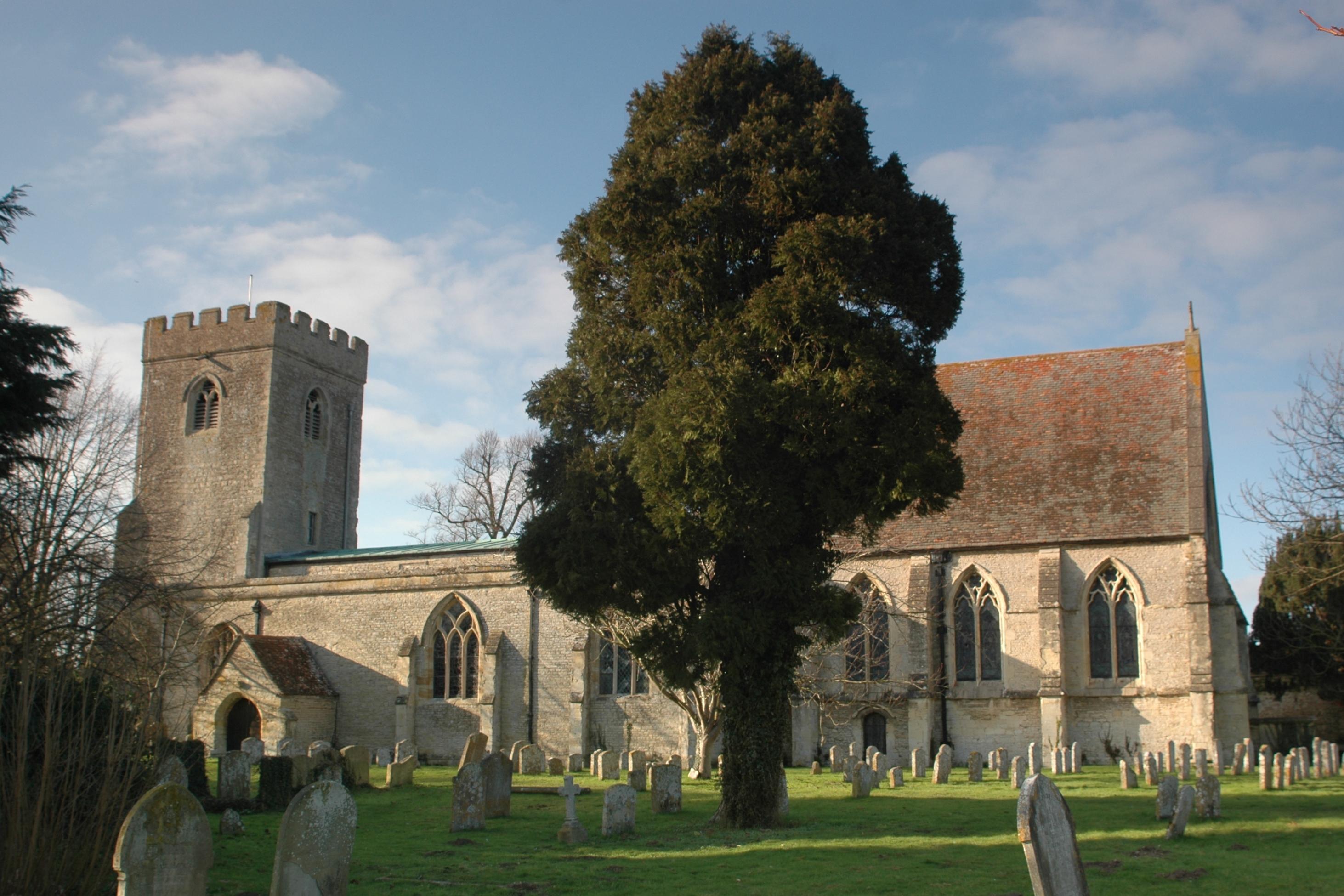
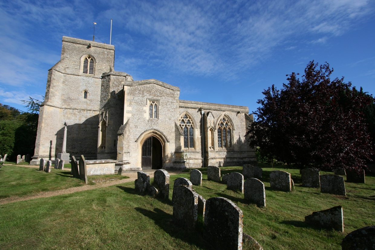
The village of Great Haseley itself is small and charming, with a population of around 400 residents. It is known for its traditional thatched cottages and historic buildings, including the 13th-century church of St Peter and St Paul. The village has a sense of community, with a local pub, The Plough, serving as a gathering place for both locals and visitors.

Agriculture plays a significant role in the local economy, with many farms in the surrounding area. The fertile soil and favorable climate make it ideal for growing crops and raising livestock.

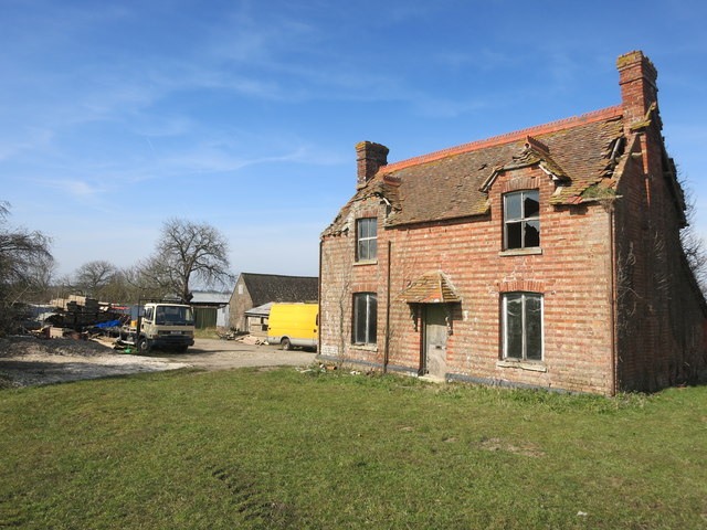
Great Haseley is also home to several notable estates, including the Grade I listed Haseley Court, a historic manor house dating back to the 16th century. The estate boasts impressive gardens and parkland, which are occasionally open to the public.

In terms of amenities, Great Haseley has a primary school, village hall, and a cricket ground. The parish offers a peaceful and tranquil setting, making it a desirable place to live for those seeking a rural lifestyle while still being within commuting distance of larger towns and cities.

If you have any feedback on the listing, please let us know in the comments section below.

Great Haseley Images

Images are sourced within 2km of 51.712638/-1.048038 or Grid Reference SP6501. Thanks to Geograph Open Source API. All images are credited.

M40 from A40 The old and new routes towards Oxford run more or less parallel for some way.
M40 from A40
The old and new routes towards Oxford run more or less parallel for some way.
Pasture, Tetsworth As in many of the pastoral fields to the west of Tetsworth, ridge and furrow is in evidence in this field crossed by a footpath near Manor Farm.
Pasture, Tetsworth
As in many of the pastoral fields to the west of Tetsworth, ridge and furrow is in evidence in this field crossed by a footpath near Manor Farm.
Lobb Farm, Great Haseley Some of the farm's large buildings viewed from the footpath that now bypasses to the south.
Lobb Farm, Great Haseley
Some of the farm's large buildings viewed from the footpath that now bypasses to the south.
Pasture, Great Milton A field of ridge and furrow to the south of Harrington Field Farm.
Pasture, Great Milton
A field of ridge and furrow to the south of Harrington Field Farm.
Farmland, Great Haseley A footpath follows the edge of this field to the north of village.
Farmland, Great Haseley
A footpath follows the edge of this field to the north of village.
Farmland, Great Haseley A redundant stile on a footpath approaching the church from Latchford Lane.
Farmland, Great Haseley
A redundant stile on a footpath approaching the church from Latchford Lane.
Farmland, Pyrton A footpath crossing arable fields and pasture to the south of Peggs Farm.
Farmland, Pyrton
A footpath crossing arable fields and pasture to the south of Peggs Farm.
Track, farmland and barns, Great Haseley A crop of beans is in this field beside the bridleway approaching Latchford from Tetsworth.
Track, farmland and barns, Great Haseley
A crop of beans is in this field beside the bridleway approaching Latchford from Tetsworth.
Pasture, Tetsworth The footpath west of Oxhouse Farm follows this former field boundary.
Pasture, Tetsworth
The footpath west of Oxhouse Farm follows this former field boundary.
Farmland, Great Haseley A cereal crop crossed by the bridleway between Peggs Farm and Latchford.
Farmland, Great Haseley
A cereal crop crossed by the bridleway between Peggs Farm and Latchford.
Farmland, Stoke Talmage Stubble alongside the north-western edge of Cornwell Copse.
Farmland, Stoke Talmage
Stubble alongside the north-western edge of Cornwell Copse.
The road to Milton Common
A stile on the footpath The footpath runs to Tetsworth.
A stile on the footpath
The footpath runs to Tetsworth.
The road to Great Haseley
Derelict House at Goldpits Farm Goldpits Farm and Manor Farm seem to be side by side on the same site. A lot of signs of things going on all around in the yard but the house itself is going to ruin.
Derelict House at Goldpits Farm
Goldpits Farm and Manor Farm seem to be side by side on the same site. A lot of signs of things going on all around in the yard but the house itself is going to ruin.
Cornwell Copse A small wood beside the footpath.
Cornwell Copse
A small wood beside the footpath.
Feeder & Footpath Farmer's food for fatter pheasants.
Remains of a gate with footpath way mark still just about standing in the hedge.
Feeder & Footpath
Farmer's food for fatter pheasants. Remains of a gate with footpath way mark still just about standing in the hedge.
End of Bridleway This is a bit curious. Exactly as shown on the map, there is a bridleway out to here in the middle of nowhere much where it just stops. 
There is a building shown in the middle of this bit of woodland. An old barn that needed horse access at one time maybe?
Anyway, there's no sign of any horses being here recently, and to be fair, why would you?
End of Bridleway
This is a bit curious. Exactly as shown on the map, there is a bridleway out to here in the middle of nowhere much where it just stops. There is a building shown in the middle of this bit of woodland. An old barn that needed horse access at one time maybe? Anyway, there's no sign of any horses being here recently, and to be fair, why would you?
Show me another place!

Great Haseley is located at Grid Ref: SP6501 (Lat: 51.712638, Lng: -1.048038)

Administrative County: Oxfordshire

District: South Oxfordshire

Police Authority: Thames Valley

What 3 Words

///losing.sampled.veered. Near Chalgrove, Oxfordshire

Related Wikis

Great Haseley

Great Haseley is a village and civil parish in South Oxfordshire, England. The village is about 4.5 miles (7 km) southwest of Thame. The parish includes...

Tetsworth

Tetsworth is a village and civil parish about 3 miles (5 km) south of Thame in Oxfordshire. Its Parish Council is made up of six elected Councillors. The...

Great Milton

Great Milton is a village and civil parish in Oxfordshire, about 7 miles (11 km) east of Oxford. The 2011 Census recorded the parish's population as 1...

Rycote House

Rycote House (also Rycote Manor) the manor of Rycote, Oxfordshire, England, was a Tudor (and later Georgian) country house. First built in the early 16th...

Nearby Amenities

Located within 500m of 51.712638,-1.048038
Latchford
Place: locality
Lat/Long: 51.7084921/-1.0493001
The data included in this document is from www.openstreetmap.org. The data is made available under ODbL.

Have you been to Great Haseley?

Leave your review of Great Haseley below (or comments, questions and feedback).