Great Glen

Civil Parish in Leicestershire Harborough

England

Great Glen

War Memorial, Great Glen
War Memorial, Great Glen Credit: Ian S

Great Glen is a civil parish located in the Harborough district of Leicestershire, England. Situated approximately 8 miles south-east of Leicester, it covers an area of around 2.2 square miles. The village is nestled within the picturesque countryside of the East Midlands and is surrounded by farmland and rolling hills.

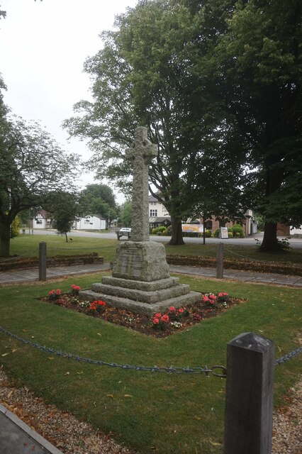
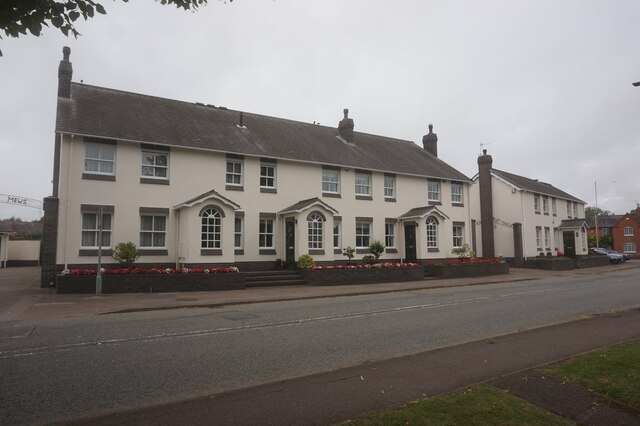
Great Glen has a population of around 3,000 residents, and its history dates back to Roman times. The village is known for its charming and quintessentially English character, with many traditional stone-built cottages and houses lining its streets. The parish also features a mix of modern and older buildings, including the historic St. Cuthbert's Parish Church, a Grade I listed building dating back to the 13th century.

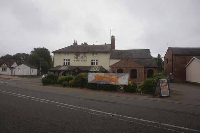
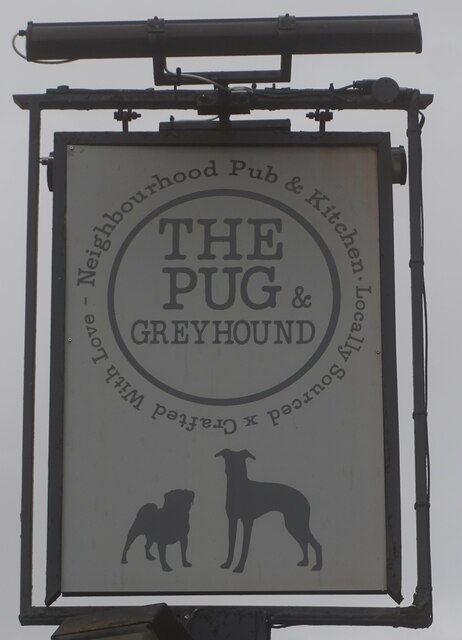
The village is well-served by various amenities, including a primary school, a village hall, several shops, and a pub. Great Glen is also home to a range of community groups and societies, fostering a strong sense of community spirit.

The surrounding countryside provides ample opportunities for outdoor activities, with numerous footpaths and bridleways for walking, running, and cycling. The nearby Leicester Forest East Country Park offers further recreational opportunities, with its woodlands and nature trails.

Great Glen benefits from its proximity to Leicester, where residents can access a wider range of amenities, including shopping centers, restaurants, and cultural attractions.

Overall, Great Glen offers a peaceful and idyllic setting for residents and visitors alike, combining rural charm with convenient access to urban amenities.

If you have any feedback on the listing, please let us know in the comments section below.
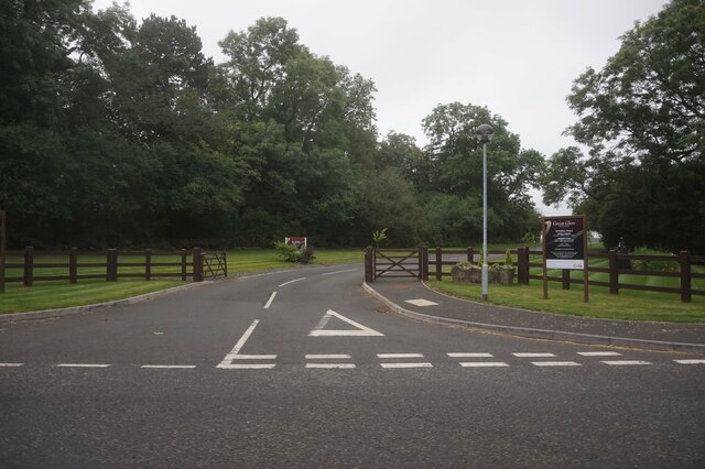
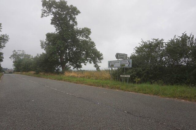
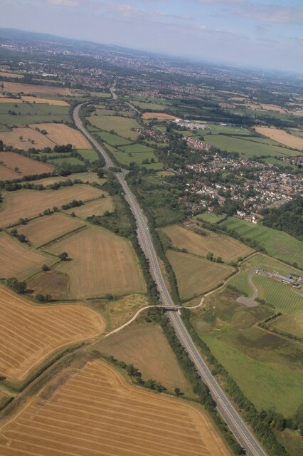
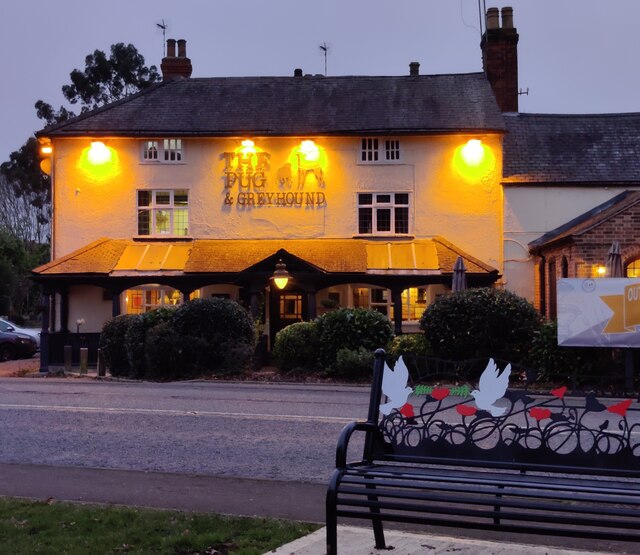
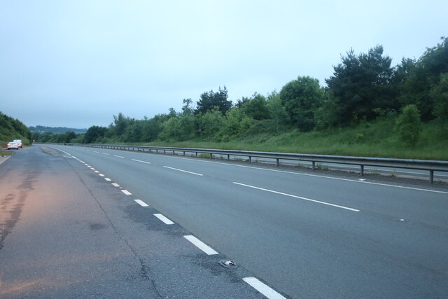
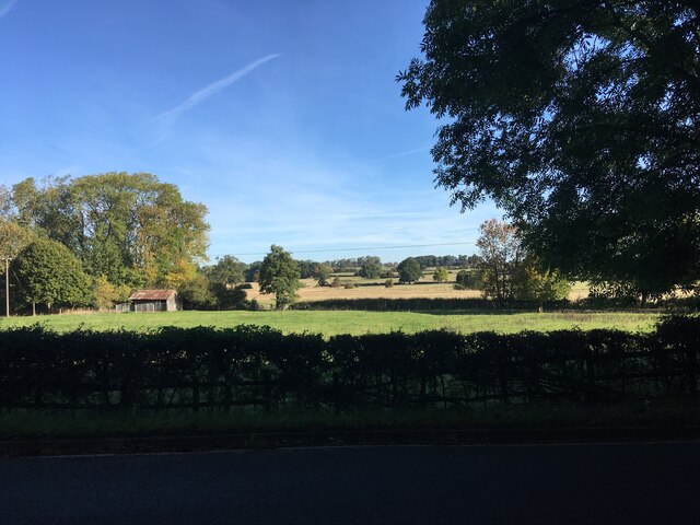
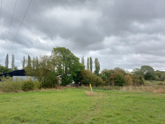
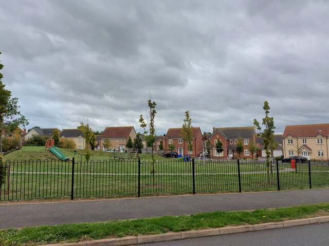
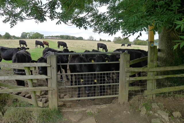
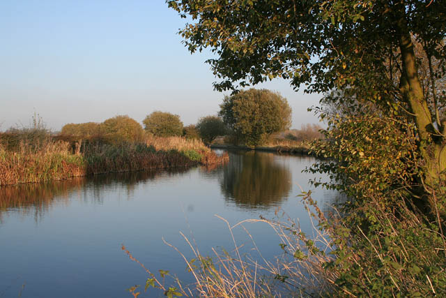
Great Glen Images

Images are sourced within 2km of 52.575113/-1.034573 or Grid Reference SP6597. Thanks to Geograph Open Source API. All images are credited.

War Memorial, Great Glen
Terrace houses on London Road, Great Glen
The Pug & Greyhound public house, Great Glen
Entrance to Great Glen Crematorium
London Road at Mayns Lane
A6 south of Great Glen: aerial 2021
The Pug & Greyhound in Great Glen A public house on London Road.
The Pug & Greyhound in Great Glen
A public house on London Road.
Layby on Leicester Road, Great Glen
Daisies by Leicester Road, Great Glen
Leicester Road, Great Glen
Wistow, Leicestershire Wistow, Leicestershire
Wistow, Leicestershire
Footpath approaching Pennbury Farm Onnce a thriving dairy farm, Pennbury Farm, on the other side of the River Sence (hedgerow), now hosts a shop, restaurant, bed and breakfast, and small businesses <span class="nowrap"><a title="https://www.pennburyfarm.co.uk/" rel="nofollow ugc noopener" href="https://www.pennburyfarm.co.uk/">Link</a><img style="margin-left:2px;" alt="External link" title="External link - shift click to open in new window" src="https://s1.geograph.org.uk/img/external.png" width="10" height="10"/></span>
Footpath approaching Pennbury Farm
Onnce a thriving dairy farm, Pennbury Farm, on the other side of the River Sence (hedgerow), now hosts a shop, restaurant, bed and breakfast, and small businesses LinkExternal link
Playground at Devana Way, Great Glen Devana Way, enclosing the playground, is a reference to the Roman road 'Via Devana', whose line is traced by modern roads and tracks a mile to the north
Playground at Devana Way, Great Glen
Devana Way, enclosing the playground, is a reference to the Roman road 'Via Devana', whose line is traced by modern roads and tracks a mile to the north
Bindley Lane crossing the River Sence, Great Glen Street sign spells 'Bindleys Lane'
Bindley Lane crossing the River Sence, Great Glen
Street sign spells 'Bindleys Lane'
The Church at the Cross, Great Glen Great Glen's Methodist church, "at the crossroads in the heart of the village ... in a Grade II listed building dating from 1827" <span class="nowrap"><a title="https://churchatthecross.info/" rel="nofollow ugc noopener" href="https://churchatthecross.info/">Link</a><img style="margin-left:2px;" alt="External link" title="External link - shift click to open in new window" src="https://s1.geograph.org.uk/img/external.png" width="10" height="10"/></span>
The Church at the Cross, Great Glen
Great Glen's Methodist church, "at the crossroads in the heart of the village ... in a Grade II listed building dating from 1827" LinkExternal link
Village sign and war memorial, London Road, Great Glen
Bovine obstruction on the bridleway round the east side of Great Glen
Show me another place!

Great Glen is located at Grid Ref: SP6597 (Lat: 52.575113, Lng: -1.034573)

Administrative County: Leicestershire

District: Harborough

Police Authority: Leicestershire

What 3 Words

///love.career.built. Near Great Glen, Leicestershire

Related Wikis

Great Glen Methodist Church

Great Glen Methodist Church, Leicestershire, was built in 1827 and a church hall was later added to the east of the church in 1879. == The church today... ==

Great Glen, Leicestershire

Great Glen (or Glenn) is a village and civil parish in the Harborough district, in Leicestershire, 2 miles south of Oadby. The population of the civil...

Leicester Grammar School

Leicester Grammar School (often abbreviated to LGS) is an independent secondary school situated in Great Glen, Leicestershire, England. It was founded...

Great Glen railway station

Great Glen railway station was built by the Midland Railway in 1857 on its extension from Leicester to Bedford and Hitchin. == History == Originally simply...

Newton Harcourt

Newton Harcourt is a village and former civil parish, now in the parish of Wistow, in the Harborough district, in the English county of Leicestershire...

Kilby - Foxton Canal

Kilby - Foxton Canal is a 32.1 hectares (79 acres) biological Site of Special Scientific Interest along the Grand Union Canal and its banks in Leicestershire...

Foston, Leicestershire

Foston is a deserted medieval village and former civil parish, now in the parish of Kilby, in the Blaby district of Leicestershire and lies approximately...

Wistow, Leicestershire

Wistow is a deserted medieval village and civil parish in the Harborough district, in the English county of Leicestershire, and lies seven miles south...

Nearby Amenities

Located within 500m of 52.575113,-1.034573
Great Glen
Place: village
Source: NPE
Lat/Long: 52.5736373/-1.0345121
Place Of Worship
Great Glen Methodist Church
Denomination: methodist
Religion: christian
Wikidata: Q5599253
Wikipedia: en:Great Glen Methodist Church
Lat/Long: 52.5750509/-1.0324566
Post Office
Great Glen Post Office
Addr City: Leicester
Addr Country: GB
Addr Housenumber: 11
Addr Postcode: LE8 9GN
Addr Street: Stretton Road
Addr Village: Great Glen
Branch: Great Glen
Brand: Post Office
Brand Wikidata: Q1783168
Check Date: 2020-02-20
Contact Website: https://www.postoffice.co.uk/branch-finder/2052172/great-glen
Fhrs Authority: Harborough
Fhrs Id: 355497
Fhrs Local Authority Id: 15060/0011/2/000
Ref Pol Id: 7208
Lat/Long: 52.575756/-1.0316767
Community Centre
The Village Hall
Lat/Long: 52.5732826/-1.0338041
Community Centre
Great Glen Youth & Sports Centre
Addr City: Leicester
Addr Country: GB
Addr Postcode: LE8 9GG
Addr Street: Main Street
Addr Village: Great Glen
Fhrs Authority: Harborough
Fhrs Id: 914566
Fhrs Local Authority Id: 09790/2011/2/000
Lat/Long: 52.5739726/-1.0332744
Fuel
Hillside Garage
Brand: Mobil
Brand Wikidata: Q3088656
Brand Wikipedia: en:Mobil
Lat/Long: 52.575005/-1.0301049
Bus Stop
Main Street Co-op
Bus: yes
Naptan AtcoCode: 260020302
Naptan Bearing: S
Naptan CommonName: Main Street Co-op
Naptan Indicator: opposite
Naptan Landmark: Co-op
Naptan NaptanCode: leijmgwg
Naptan Notes: Hourly - County
Naptan Street: Main Street
Naptan Verified: no
Public Transport: platform
Source: naptan_import
Lat/Long: 52.5738949/-1.0334293
Bus Stop
Paddock View
Bus: yes
Naptan AtcoCode: 260020303
Naptan Bearing: N
Naptan CommonName: Paddock View
Naptan Indicator: outside
Naptan Landmark: 'Paddock View'
Naptan NaptanCode: leijmgwj
Naptan Notes: Hourly - County
Naptan Street: Main Street
Naptan Verified: no
Public Transport: platform
Source: naptan_import
Lat/Long: 52.5737798/-1.0336531
Bus Stop
Bindleys Lane
Alt Name: Great Glen - Church Road
Bus: yes
Naptan AltCommonName: Great Glen - Church Road
Naptan AtcoCode: 260020304
Naptan Bearing: NE
Naptan CommonName: Bindleys Lane
Naptan Indicator: west of
Naptan Landmark: Bindleys Lane
Naptan NaptanCode: leijmgwm
Naptan Notes: Hourly - County
Naptan Street: Church Road
Naptan Verified: no
Public Transport: platform
Source: naptan_import
Lat/Long: 52.5749102/-1.0344547
Bus Stop
Bindley Lane
Alt Name: Great Glen - Church Road
Bus: yes
Naptan AltCommonName: Great Glen - Church Road
Naptan AtcoCode: 260020305
Naptan Bearing: SW
Naptan CommonName: Bindley Lane
Naptan Indicator: outside
Naptan Landmark: 24A Church Road
Naptan NaptanCode: leijmgwp
Naptan Notes: Hourly - County
Naptan Street: Church Road
Naptan Verified: no
Public Transport: platform
Source: naptan_import
Lat/Long: 52.5747674/-1.0345906
Bus Stop
The Greyhound PH
Bus: yes
Naptan AtcoCode: 260020306
Naptan Bearing: SE
Naptan CommonName: The Greyhound PH
Naptan Indicator: opposite
Naptan Landmark: The Greyhound
Naptan NaptanCode: leijmgwt
Naptan Notes: Hourly - County
Naptan Street: London Road
Naptan Verified: no
Public Transport: platform
Source: naptan_import
Lat/Long: 52.5713718/-1.0338241
Bus Stop
The Greyhound PH
Bus: yes
Naptan AtcoCode: 260020307
Naptan Bearing: NW
Naptan CommonName: The Greyhound PH
Naptan Indicator: outside
Naptan Landmark: The Greyhound
Naptan NaptanCode: leijmjad
Naptan Notes: Hourly - County
Naptan Street: London Road A6
Naptan Verified: no
Public Transport: platform
Source: naptan_import
Lat/Long: 52.5712657/-1.0340478
Bus Stop
Telephone Exchange
Bus: yes
Naptan AtcoCode: 260020308
Naptan Bearing: N
Naptan CommonName: Telephone Exchange
Naptan Indicator: 5m north
Naptan Landmark: of BT exchange
Naptan NaptanCode: leijmjag
Naptan Notes: Hourly - County
Naptan Street: Station Lane
Naptan Verified: no
Public Transport: platform
Source: naptan_import
Lat/Long: 52.5716208/-1.037906
Bus Stop
Telephone Exchange
Bus: yes
Naptan AtcoCode: 260020309
Naptan Bearing: S
Naptan CommonName: Telephone Exchange
Naptan Indicator: 20m south
Naptan Landmark: of junction with the A6(T)
Naptan NaptanCode: leijmjaj
Naptan Notes: Non-Hourly - County
Naptan Street: Station Lane
Naptan Verified: no
Public Transport: platform
Source: naptan_import
Lat/Long: 52.5718351/-1.0377242
Bus Stop
St Cuthberts Church Cemetery
Bus: yes
Naptan AtcoCode: 260020310
Naptan Bearing: SE
Naptan CommonName: St Cuthberts Church Cemetery
Naptan Indicator: 50m NW
Naptan Landmark: of junc with Station Road
Naptan NaptanCode: leijmjam
Naptan Notes: Hourly - County
Naptan Street: London Road
Naptan Verified: no
Public Transport: platform
Source: naptan_import
Lat/Long: 52.5728461/-1.0382333
Bus Stop
St Cuthberts Church Cemetery
Bus: yes
Naptan AtcoCode: 260020317
Naptan Bearing: NW
Naptan CommonName: St Cuthberts Church Cemetery
Naptan Indicator: opposite
Naptan Landmark: Cemetery St Cuthberts Church
Naptan NaptanCode: leijmjdm
Naptan Notes: Hourly - County
Naptan Street: London Road A6
Naptan Verified: no
Public Transport: platform
Source: naptan_import
Lat/Long: 52.5730588/-1.0389517
Bus Stop
Main Street War Memorial
Bus: yes
Naptan AtcoCode: 260020318
Naptan Bearing: NE
Naptan CommonName: Main Street War Memorial
Naptan Indicator: opposite
Naptan Landmark: War Memorial
Naptan NaptanCode: leijmjdp
Naptan Notes: Hourly - County
Naptan Street: Main Street
Naptan Verified: no
Public Transport: platform
Source: naptan_import
Lat/Long: 52.5717249/-1.0341262
Bus Stop
Main Street War Memorial
Bus: yes
Naptan AtcoCode: 260020319
Naptan Bearing: SW
Naptan CommonName: Main Street War Memorial
Naptan Indicator: outside
Naptan Landmark: War Memorial
Naptan NaptanCode: leijmjdt
Naptan Notes: Non-Hourly - County
Naptan Street: Main Street
Naptan Verified: no
Public Transport: platform
Source: naptan_import
Lat/Long: 52.5716959/-1.033876
Telephone
Booth: K6
Colour: red
Covered: booth
Information: local_information
Listed Status: Grade II
Man Made: telephone_box
Tourism: information
Lat/Long: 52.5711765/-1.0334069
Power: pole
Lat/Long: 52.5738654/-1.041415
Great Glen Sports and Social Club
Addr City: Leicester
Addr Country: GB
Addr Postcode: LE8 9FJ
Addr Street: High Street
Addr Village: Great Glen
Fhrs Authority: Harborough
Fhrs Id: 355089
Fhrs Local Authority Id: 07010/2002/2/000
Leisure: pitch
Sport: tennis;soccer;cricket
Lat/Long: 52.5772006/-1.0346796
Pub
The Royal Oak
Addr City: Leicester
Addr Country: GB
Addr Housenumber: 19
Addr Postcode: LE8 9FJ
Addr Street: High Street
Addr Village: Great Glen
Fhrs Authority: Harborough
Fhrs Id: 1071515
Fhrs Local Authority Id: 18/00075/FOODHS
Lat/Long: 52.5752994/-1.0358122
Generator Method: photovoltaic
Generator Output Electricity: yes
Generator Source: solar
Generator Type: solar_photovoltaic_panel
Location: roof
Power: generator
Lat/Long: 52.5762107/-1.0282762
Generator Method: photovoltaic
Generator Output Electricity: yes
Generator Source: solar
Generator Type: solar_photovoltaic_panel
Location: roof
Power: generator
Lat/Long: 52.5759042/-1.0297621
Generator Method: photovoltaic
Generator Output Electricity: yes
Generator Source: solar
Generator Type: solar_photovoltaic_panel
Location: roof
Power: generator
Lat/Long: 52.5756728/-1.0294778
Generator Method: photovoltaic
Generator Output Electricity: yes
Generator Source: solar
Generator Type: solar_photovoltaic_panel
Location: roof
Power: generator
Lat/Long: 52.5755635/-1.0376719
Generator Method: photovoltaic
Generator Output Electricity: yes
Generator Source: solar
Generator Type: solar_photovoltaic_panel
Location: roof
Power: generator
Lat/Long: 52.5756532/-1.0377068
Generator Method: photovoltaic
Generator Output Electricity: yes
Generator Source: solar
Generator Type: solar_photovoltaic_panel
Location: roof
Power: generator
Lat/Long: 52.5765399/-1.0306097
Generator Method: photovoltaic
Generator Output Electricity: yes
Generator Source: solar
Generator Type: solar_photovoltaic_panel
Location: roof
Power: generator
Lat/Long: 52.5781992/-1.029915
Generator Method: photovoltaic
Generator Output Electricity: yes
Generator Source: solar
Generator Type: solar_photovoltaic_panel
Location: roof
Power: generator
Lat/Long: 52.5792798/-1.0330129
Generator Method: photovoltaic
Generator Output Electricity: yes
Generator Source: solar
Generator Type: solar_photovoltaic_panel
Location: roof
Power: generator
Lat/Long: 52.5792179/-1.0340751
Generator Method: photovoltaic
Generator Output Electricity: yes
Generator Source: solar
Generator Type: solar_photovoltaic_panel
Location: roof
Power: generator
Lat/Long: 52.5789392/-1.0342092
Generator Method: photovoltaic
Generator Output Electricity: yes
Generator Source: solar
Generator Type: solar_photovoltaic_panel
Location: roof
Power: generator
Lat/Long: 52.5788365/-1.0346893
Generator Method: photovoltaic
Generator Output Electricity: yes
Generator Source: solar
Generator Type: solar_photovoltaic_panel
Location: roof
Power: generator
Lat/Long: 52.5746295/-1.0319132
Generator Method: photovoltaic
Generator Output Electricity: yes
Generator Source: solar
Generator Type: solar_photovoltaic_panel
Location: roof
Power: generator
Lat/Long: 52.5748496/-1.0338927
Generator Method: photovoltaic
Generator Output Electricity: yes
Generator Source: solar
Generator Type: solar_photovoltaic_panel
Location: roof
Power: generator
Lat/Long: 52.5735227/-1.0366956
Generator Method: photovoltaic
Generator Output Electricity: yes
Generator Source: solar
Generator Type: solar_photovoltaic_panel
Location: roof
Power: generator
Lat/Long: 52.5736482/-1.0333643
Generator Method: photovoltaic
Generator Output Electricity: yes
Generator Source: solar
Generator Type: solar_photovoltaic_panel
Location: roof
Power: generator
Lat/Long: 52.5732448/-1.0299005
Generator Method: photovoltaic
Generator Output Electricity: yes
Generator Source: solar
Generator Type: solar_photovoltaic_panel
Location: roof
Power: generator
Lat/Long: 52.5732415/-1.0299635
Generator Method: photovoltaic
Generator Output Electricity: yes
Generator Source: solar
Generator Type: solar_photovoltaic_panel
Location: roof
Power: generator
Lat/Long: 52.5747322/-1.0298388
Generator Method: photovoltaic
Generator Output Electricity: yes
Generator Source: solar
Generator Type: solar_photovoltaic_panel
Location: roof
Power: generator
Lat/Long: 52.5747314/-1.0299126
Generator Method: photovoltaic
Generator Output Electricity: yes
Generator Source: solar
Generator Type: solar_photovoltaic_panel
Location: roof
Power: generator
Lat/Long: 52.5762463/-1.0364511
Generator Method: photovoltaic
Generator Output Electricity: yes
Generator Source: solar
Generator Type: solar_photovoltaic_panel
Location: roof
Power: generator
Lat/Long: 52.5768282/-1.0280665
Doctors
Great Glen Surgery
Healthcare: doctor
Lat/Long: 52.5734256/-1.033482
Addr City: Leicester
Addr Country: GB
Addr Housenumber: 12A
Addr Postcode: LE8 9GF
Addr Street: London Road
Addr Village: Great Glen
Fhrs Authority: Harborough
Fhrs Id: 355251
Fhrs Local Authority Id: 09180/0022/0/000
Lat/Long: 52.5708777/-1.0333961
Historic: memorial
Memorial: war_memorial
Lat/Long: 52.5714832/-1.0337573
The data included in this document is from www.openstreetmap.org. The data is made available under ODbL.

Have you been to Great Glen?

Leave your review of Great Glen below (or comments, questions and feedback).