Broken Green
Settlement in Hertfordshire East Hertfordshire
England
Broken Green

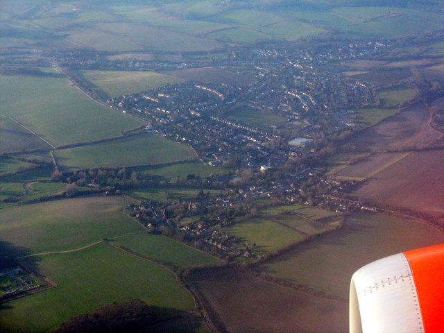
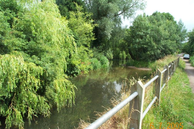
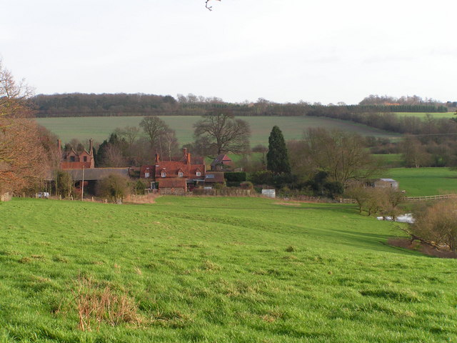
Broken Green is a small village located in the county of Hertfordshire, England. Situated approximately 35 miles north of London, it falls within the local government district of East Hertfordshire. The village is surrounded by picturesque countryside, offering residents and visitors a tranquil and scenic environment.
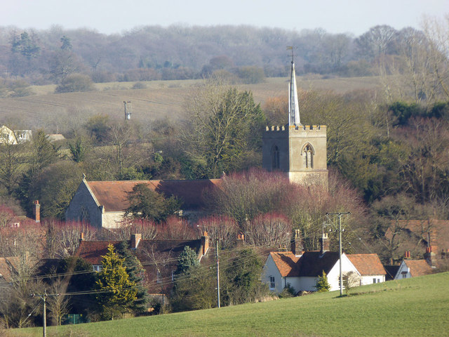
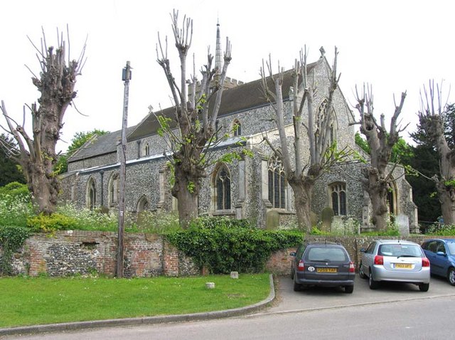
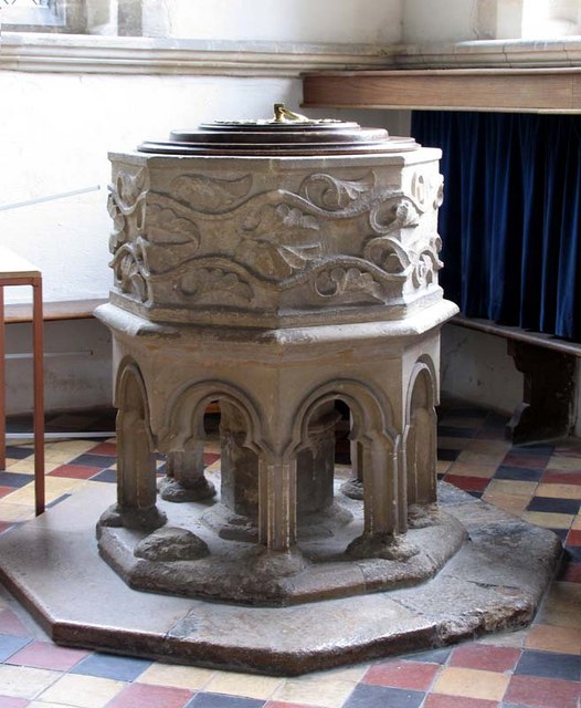
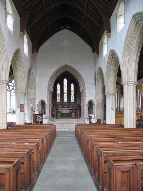
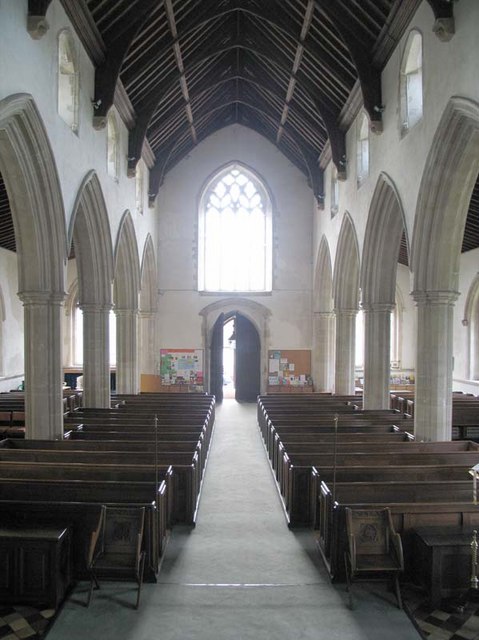
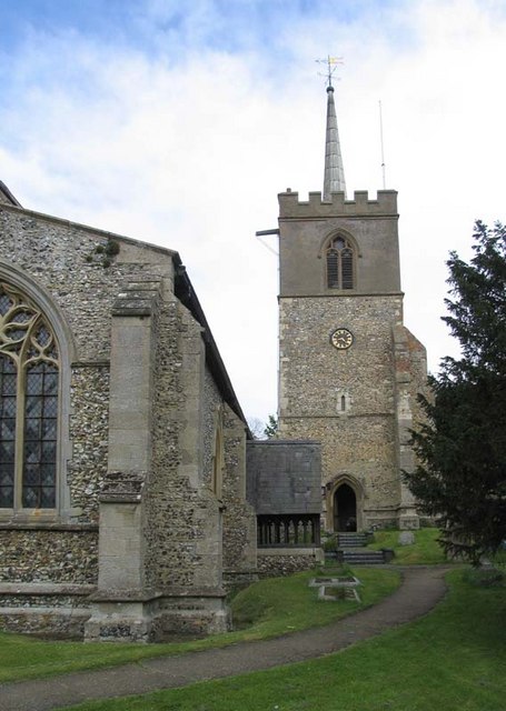
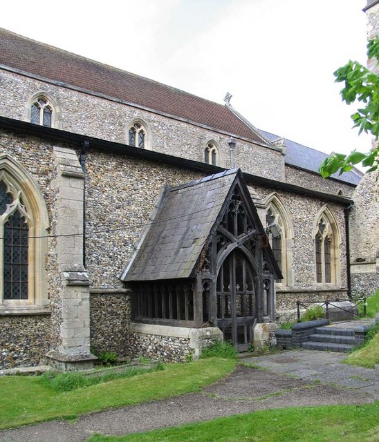
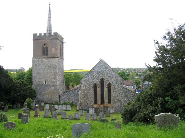
Despite its small size, Broken Green has a rich history dating back several centuries. It is home to several historical landmarks, including a charming medieval church that serves as a focal point for the community. The village also boasts a few traditional thatched cottages and historic buildings, adding to its quaint and idyllic charm.
In terms of amenities, Broken Green is relatively self-contained. It is home to a small convenience store that caters to the needs of the local population. Additionally, there are a couple of traditional pubs where residents can socialize and enjoy a drink or a meal. The village also benefits from a primary school, ensuring that education is easily accessible for families.
Broken Green's location offers easy access to nearby towns and cities, making it an attractive place to live for those seeking a peaceful rural lifestyle while still being within reach of urban amenities. The surrounding countryside provides ample opportunities for outdoor activities such as walking, hiking, and cycling.
Overall, Broken Green is a charming village with a rich history and a strong sense of community. Its scenic surroundings and convenient location make it an appealing place to reside for individuals seeking a tranquil rural lifestyle in Hertfordshire.
If you have any feedback on the listing, please let us know in the comments section below.
Broken Green Images
Images are sourced within 2km of 51.878746/0.0469876 or Grid Reference TL4122. Thanks to Geograph Open Source API. All images are credited.


Broken Green is located at Grid Ref: TL4122 (Lat: 51.878746, Lng: 0.0469876)
Administrative County: Hertfordshire
District: East Hertfordshire
Police Authority: Hertfordshire
What 3 Words
///elevated.hobbies.octagonal. Near Puckeridge, Hertfordshire
Nearby Locations
Related Wikis

Wellpond Green
Wellpond Green is a hamlet near the A120 road and the town of Bishop's Stortford, in the county of Hertfordshire, England. Wellpond Green contains 4 listed...

Standon, Hertfordshire
Standon is a village and civil parish in Hertfordshire, England. The parish includes the adjoining village of Puckeridge. The village church of St Mary...
Braughing Friars
Braughing Friars is a hamlet in Hertfordshire, England. It is in the civil parish of Braughing. == External links == Media related to Braughing Friars...
Standon Preceptory
Standon Preceptory was a Knights Hospitaller foundation in the parish of Standon, in the county of Hertfordshire, England. It was founded before 1154,...

Standon railway station
Standon railway station served the village of Standon, Hertfordshire, England, from 1863 to 1965 on the Buntingford branch line. == History == The station...

Braughing
Braughing is a village and civil parish, between the rivers Quin and Rib, in the non-metropolitan district of East Hertfordshire, part of the English...

Albury End
Albury End is a hamlet in Hertfordshire, England. It is in the civil parish of Albury. == External links == Media related to Albury End at Wikimedia Commons
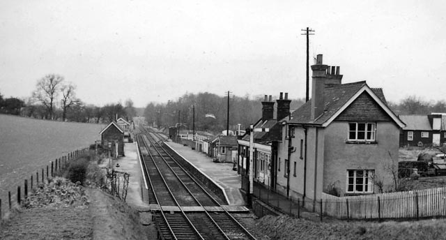
Braughing railway station
Braughing railway station served the village of Braughing, Hertfordshire, England, from 1863 to 1964 on the Buntingford branch line. == History == The...
Nearby Amenities
Located within 500m of 51.878746,0.0469876Have you been to Broken Green?
Leave your review of Broken Green below (or comments, questions and feedback).