Great Denham

Civil Parish in Bedfordshire

England

Great Denham

Thatched cottage on West End Road, Box End
Thatched cottage on West End Road, Box End Credit: David Howard

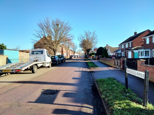
Great Denham is a civil parish located in Bedfordshire, England. It is situated approximately 3 miles northwest of Bedford town center. The area is predominantly residential and has experienced significant growth in recent years due to new housing developments.

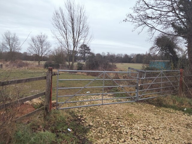
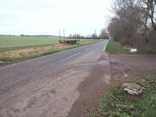
The parish is bordered by the River Great Ouse to the east, providing picturesque views and recreational opportunities for residents. The river is a popular spot for fishing and boating enthusiasts. Great Denham is also surrounded by beautiful countryside, with plenty of walking and cycling paths for outdoor enthusiasts to explore.

The heart of Great Denham features a modern village center, which includes a supermarket, a pharmacy, and various shops and services. Additionally, there is a primary school located within the parish, making it an attractive area for families.

Transportation in Great Denham is convenient, with easy access to major road networks, including the A421 and the A428. The nearby Bedford train station provides regular services to London and other major cities, making it an ideal location for commuters.

Overall, Great Denham offers a peaceful and family-friendly environment for its residents. With its proximity to the river, beautiful countryside, and excellent amenities, it has become an increasingly popular place to live in Bedfordshire.

If you have any feedback on the listing, please let us know in the comments section below.
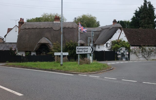
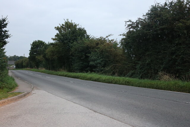
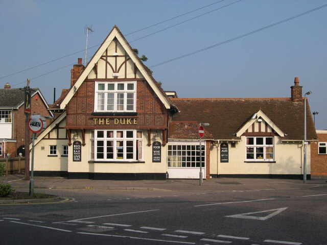
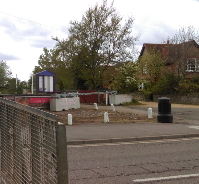
Great Denham Images

Images are sourced within 2km of 52.118609/-0.511528 or Grid Reference TL0247. Thanks to Geograph Open Source API. All images are credited.

Thatched cottage on West End Road, Box End
Box End Road
Box End Road
Woods by Box End Road, Kempston
The Smiths Arms, Margetts Road, Kempston Public House on corner of Margetts Road and Duncombe Street, Kempston, Bedford. The building was first licensed as a beer house in 1856.
The Smiths Arms, Margetts Road, Kempston
Public House on corner of Margetts Road and Duncombe Street, Kempston, Bedford. The building was first licensed as a beer house in 1856.
Police Station, Bedford Road, Kempston Police Station, Bedford Road, Kempston.
Police Station, Bedford Road, Kempston
Police Station, Bedford Road, Kempston.
Kempston Grange, Addison Howard Park, Bedford Road, Kempston Henry Littledale, director of the Sun Life Insurance Company, built Kempston Grange for £17,500 in 1842. He was living there in 1845. The property passed through various hands and was later owned by the Howard family who, in 1937, gave some of the grounds to Kempston Urban District Council as a park named after their late son.
Kempston Grange, Addison Howard Park, Bedford Road, Kempston
Henry Littledale, director of the Sun Life Insurance Company, built Kempston Grange for £17,500 in 1842. He was living there in 1845. The property passed through various hands and was later owned by the Howard family who, in 1937, gave some of the grounds to Kempston Urban District Council as a park named after their late son.
Kempston Town Council Offices, Bedford Road, Kempston The former Kempston Urban District Council offices, now Kempston Town Council offices. Kempston Urban District Council first met on 18 May 1896; the Council was abolished in 1974.
Kempston Town Council Offices, Bedford Road, Kempston
The former Kempston Urban District Council offices, now Kempston Town Council offices. Kempston Urban District Council first met on 18 May 1896; the Council was abolished in 1974.
Church of God Prophecy, Bunyan Road, Kempston Bunyan Road Church and Community Centre, now the Church of God Prophecy.
Church of God Prophecy, Bunyan Road, Kempston
Bunyan Road Church and Community Centre, now the Church of God Prophecy.
Church of the Transfiguration, Bedford Road, Kempston The church was consecrated on 14 July 1940. The architect was J Harold Gibbons; it was influenced by the Arts and Crafts Movement.
Church of the Transfiguration, Bedford Road, Kempston
The church was consecrated on 14 July 1940. The architect was J Harold Gibbons; it was influenced by the Arts and Crafts Movement.
Kempston East Methodist Church, Bedford Road, Kempston Kempston East Methodist church was built in 1904 in the shape of a cross. It is the daughter church of Kempston West Methodist.
Kempston East Methodist Church, Bedford Road, Kempston
Kempston East Methodist church was built in 1904 in the shape of a cross. It is the daughter church of Kempston West Methodist.
Church of Jesus Christ of the Latter-day Saints, Bedford Road, Kempston
The Duke Public House, Woburn Road, Kempston This public house was open by c.1885 when it first appears on local directories.
The Duke Public House, Woburn Road, Kempston
This public house was open by c.1885 when it first appears on local directories.
Kempston Rural, Corner of Box End Road and B560 View across fields looking towards All Saints Church and Vicarage (facing away from Vicarage Farm).
Kempston Rural, Corner of Box End Road and B560
View across fields looking towards All Saints Church and Vicarage (facing away from Vicarage Farm).
Kempston Rural, Corner of Box End Road and B560 View along B560, Vicarage Farm to right of photograph.
Kempston Rural, Corner of Box End Road and B560
View along B560, Vicarage Farm to right of photograph.
War Memorial, High Street, Kempston The land directly behind the memorial was waiting construction of a Lidl Store. This was built and subsequently demolished.
War Memorial, High Street, Kempston
The land directly behind the memorial was waiting construction of a Lidl Store. This was built and subsequently demolished.
Springfield Avenue, Kempston View of Springfield Avenue from junction with Stuart Road and Harris Close.
Springfield Avenue, Kempston
View of Springfield Avenue from junction with Stuart Road and Harris Close.
Farrer Street, Kempston View along Farrer Street towards Bedford Road.
Farrer Street, Kempston
View along Farrer Street towards Bedford Road.
Bedford Road, Kempston View of Bedford Road and junction of Cleveland Street. The Banana Moon Day Nursery is on the corner.
Bedford Road, Kempston
View of Bedford Road and junction of Cleveland Street. The Banana Moon Day Nursery is on the corner.
Show me another place!

Great Denham is located at Grid Ref: TL0247 (Lat: 52.118609, Lng: -0.511528)

Unitary Authority: Bedford

Police Authority: Bedfordshire

What 3 Words

///grows.snoozing.target. Near Kempston, Bedfordshire

Related Wikis

Kempston Rural

Kempston Rural is a civil parish in the Borough of Bedford in Bedfordshire, England. == History == Kempston Rural was formed in 1896 when the old parish...

Kempston gravel pit railway

Kempston gravel pit railway was a narrow-gauge tramway which connected a gravel pit in the Hill Grounds area of Kempston, Bedfordshire to Bedford Road...

Kempston West

Kempston West is an electoral ward and area within the town of Kempston, Bedfordshire, England. The boundaries of Kempston West are approximately the River...

Kempston Academy

Kempston Academy (formerly 'Hastingsbury Upper School and Community College', 'Hastingsbury Business and Enterprise College' and then 'Kempston Challenger...

Nearby Amenities

Located within 500m of 52.118609,-0.511528
Note: Limit of navigation
Source: GOBA
Lat/Long: 52.1179428/-0.5057865
Note: this is a floating boom before the weir, not part of the weir itself
Lat/Long: 52.1174189/-0.512611
Barrier: kissing_gate
Foot: yes
Lat/Long: 52.1162447/-0.5161496
Parking
Parking: surface
Lat/Long: 52.1202659/-0.5181267
Kemspton Main Weir
Waterway: weir
Lat/Long: 52.1174038/-0.5123066
Crossing
Bicycle: yes
Crossing: traffic_signals
Crossing Ref: toucan
Lat/Long: 52.116074/-0.516023
Crossing
Crossing: unmarked
Crossing Island: yes
Crossing Markings: no
Lat/Long: 52.1157724/-0.5157741
Barrier: kissing_gate
Lat/Long: 52.1179687/-0.5063543
Barrier: kissing_gate
Lat/Long: 52.1188453/-0.5075448
Barrier: kissing_gate
Lat/Long: 52.1160508/-0.5106836
Bench
Lat/Long: 52.1177993/-0.5055626
Bar
Kempston Hammers Sports & Social Club
Addr City: Kempston
Addr Country: GB
Addr Housenumber: 134
Addr Postcode: MK42 7BN
Addr Street: High Street
Fhrs Authority: Bedford
Fhrs Id: 106551
Fhrs Local Authority Id: 37068
Lat/Long: 52.1153607/-0.5092174
The data included in this document is from www.openstreetmap.org. The data is made available under ODbL.

Have you been to Great Denham?

Leave your review of Great Denham below (or comments, questions and feedback).