Greasley
Civil Parish in Nottinghamshire Broxtowe
England
Greasley
Greasley is a civil parish located in the county of Nottinghamshire, England. Situated about seven miles northwest of Nottingham city centre, it covers an area of approximately 5.5 square miles. The parish is part of the Broxtowe borough and borders the parishes of Kimberley, Newthorpe, Watnall, and Brinsley.
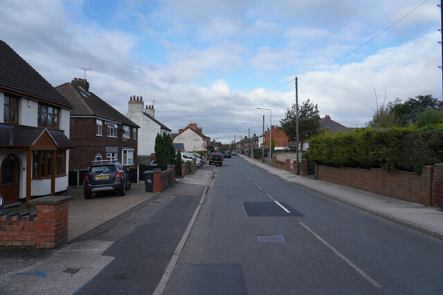
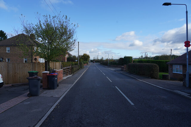
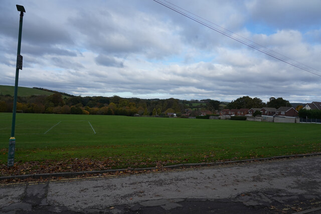
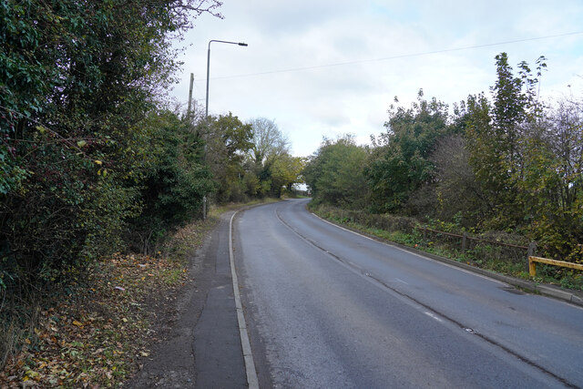
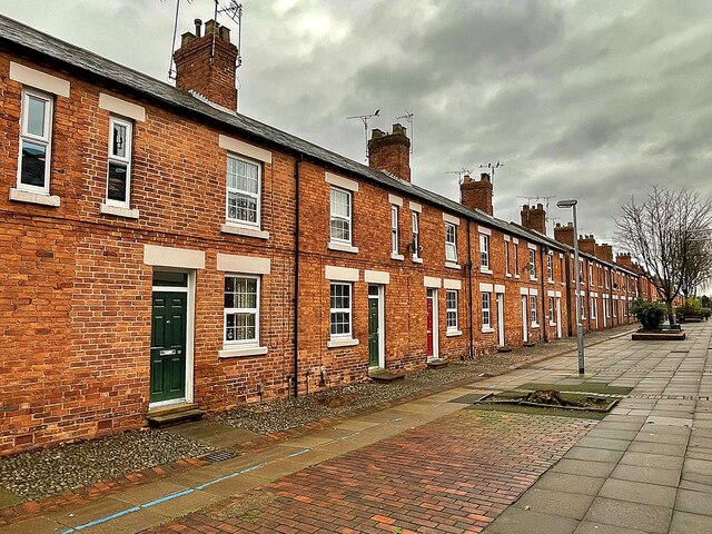
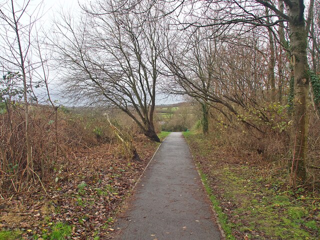
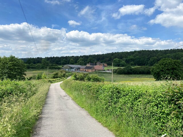
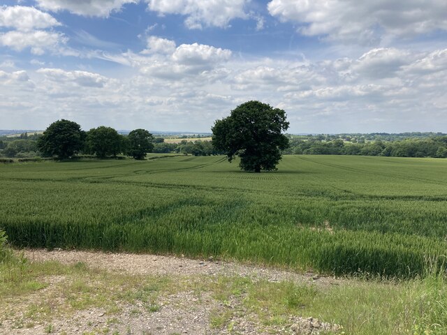
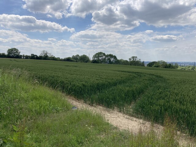
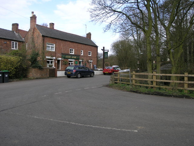
Greasley is a predominantly rural area with a population of around 2,500 people. It consists of several small villages and hamlets, including Greasley, Moorgreen, New Westwood, and various scattered farms. The landscape is characterized by rolling hills and farmland, providing a picturesque setting for residents and visitors alike.
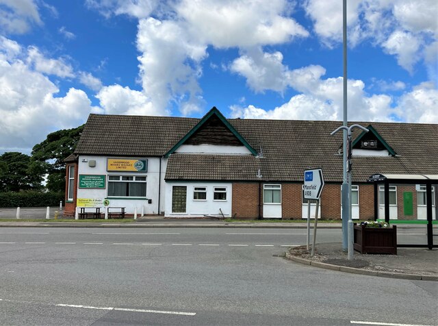
Historically, Greasley was known for its coal mining industry, which played a significant role in the local economy during the 19th and early 20th centuries. However, the mines have long been closed, and the area has since diversified its economic activities. Today, agriculture and small-scale businesses are the primary sources of employment in the parish.
Greasley is well-served by transportation links, with several major roads passing through or near the area. The A610 road connects the parish to Nottingham and the wider road network, while the M1 motorway is easily accessible to the west. Public transport options include regular bus services, providing connections to neighboring towns and cities.
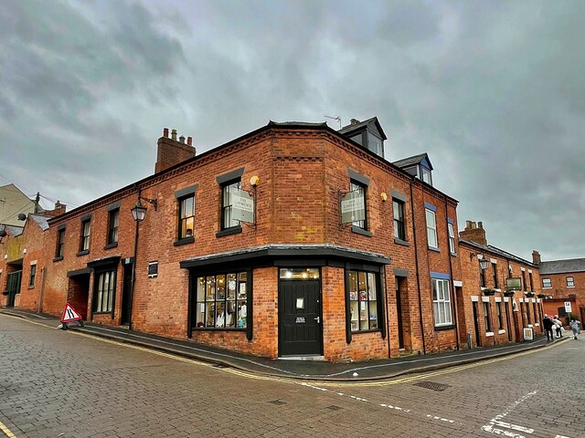
The parish boasts a range of amenities, including a primary school, village hall, and various community groups. There are also several green spaces and nature reserves, offering opportunities for outdoor activities and leisure pursuits. Overall, Greasley offers a peaceful and rural environment, making it an attractive place to live or visit for those seeking a slower pace of life.
If you have any feedback on the listing, please let us know in the comments section below.
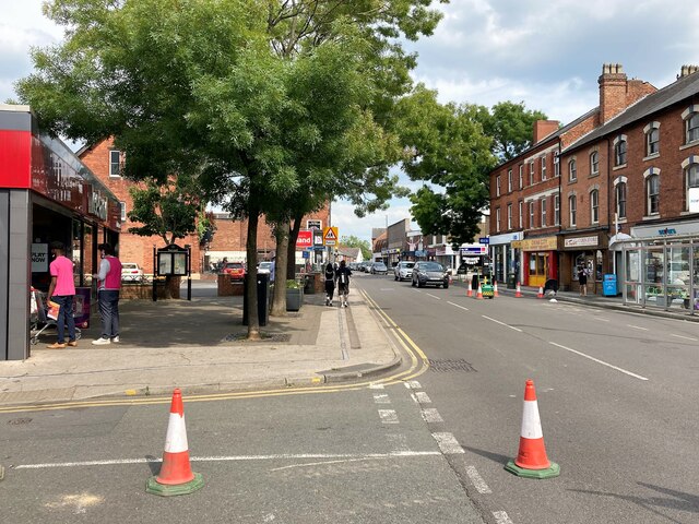
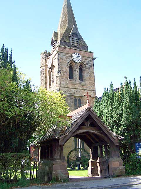
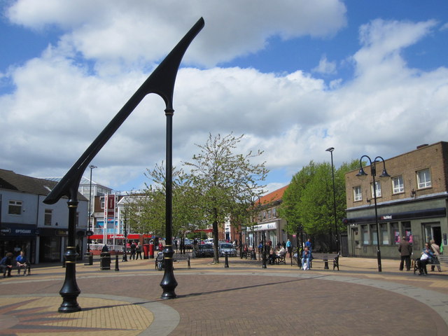
Greasley Images
Images are sourced within 2km of 53.034428/-1.294151 or Grid Reference SK4748. Thanks to Geograph Open Source API. All images are credited.


Greasley is located at Grid Ref: SK4748 (Lat: 53.034428, Lng: -1.294151)
Administrative County: Nottinghamshire
District: Broxtowe
Police Authority: Nottinghamshire
What 3 Words
///searched.install.reclaimed. Near Eastwood, Nottinghamshire
Nearby Locations
Related Wikis
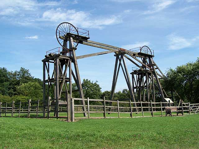
Brinsley Colliery
Brinsley Colliery was a coal mine in west Nottinghamshire, close to the boundary with Derbyshire, in what is now Broxtowe district. == History == It was...

Brinsley
Brinsley is a village and civil parish in Nottinghamshire, England. The church of St James was built in 1837–38 from Mansfield stone, the chancel being...
Underwood, Nottinghamshire
Underwood is a hilltop village within the civil parish of Selston in the English ceremonial county of Nottinghamshire. The village is a ward of Ashfield...
Ashfield District
Ashfield () is a local government district in Nottinghamshire, England. The population of Ashfield was 127,200 in 2018. The district is mostly urban...
Bagthorpe, Nottinghamshire
Bagthorpe is a village in Nottinghamshire, England. It is in the civil parish of Selston. == See also == Listed buildings in Selston == External links... ==

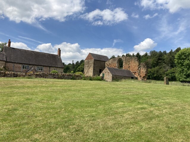
Beauvale Priory
Beauvale Priory (also known as Beauvale Charterhouse) was a Carthusian monastery in Beauvale, Nottinghamshire. It is a scheduled ancient monument. ��2...

Beauvale
Beauvale, or Beauvale Newthorpe, is a village in Nottinghamshire, England. It is located 1 mile to the east of Eastwood. It is in Greasley parish. Beauvale...

Eastwood, Nottinghamshire
Eastwood is a former coal mining town in the Broxtowe district of Nottinghamshire, England, 8 miles (13 km) northwest of Nottingham and 10 miles (16 km...
Nearby Amenities
Located within 500m of 53.034428,-1.294151Have you been to Greasley?
Leave your review of Greasley below (or comments, questions and feedback).