Gratton
Civil Parish in Derbyshire Derbyshire Dales
England
Gratton

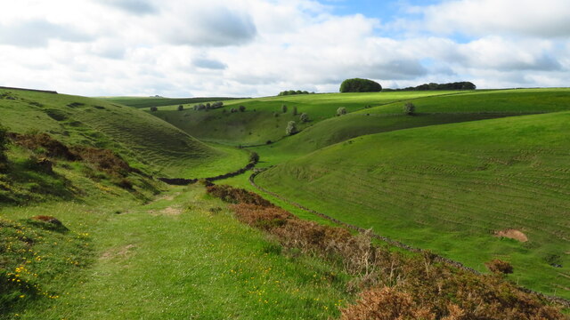
Gratton is a small civil parish located in the county of Derbyshire, England. Situated in the Peak District National Park, it is surrounded by picturesque countryside and offers breathtaking views of the rolling hills and valleys that characterize the region.
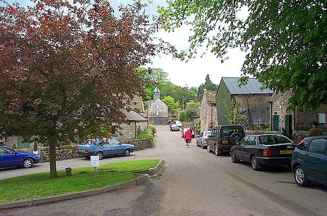
The village of Gratton itself is a charming and tranquil settlement, with a population of around 150 residents. The parish is primarily made up of scattered cottages and farmhouses, giving it a quaint and rural atmosphere. The architecture in the area is predominantly traditional, with many buildings dating back several centuries.
Gratton is known for its rich history, with evidence of human habitation in the area dating back to prehistoric times. The parish has a Grade II listed church, St. Peter's, which was built in the 12th century and stands as a testament to the village's historical significance.
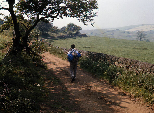
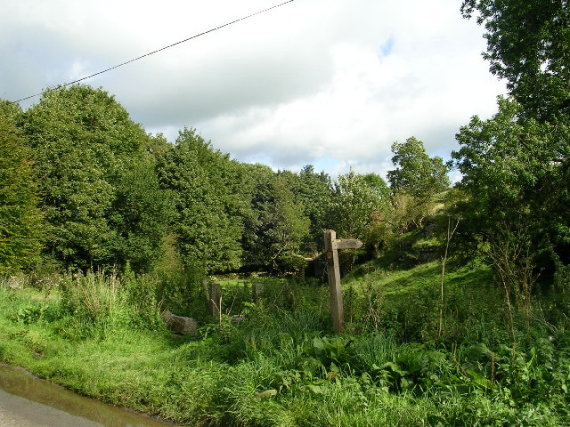
The surrounding landscape offers an array of outdoor activities for nature enthusiasts. There are numerous walking trails and hiking routes that allow visitors to explore the stunning scenery and wildlife. Additionally, the nearby River Dove provides opportunities for fishing and kayaking.
Despite its small size, Gratton benefits from its proximity to larger towns and cities. The market town of Bakewell is just a short drive away, offering a range of amenities including shops, restaurants, and schools.
In conclusion, Gratton is a peaceful and idyllic civil parish in Derbyshire, offering a glimpse into the rural beauty of the Peak District. With its historical charm and natural surroundings, it is a destination that appeals to both history buffs and nature lovers alike.
If you have any feedback on the listing, please let us know in the comments section below.
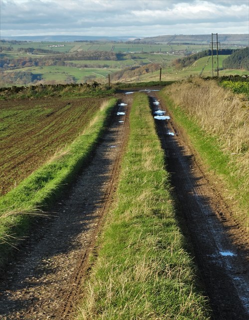
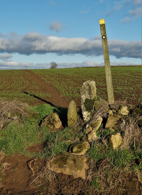
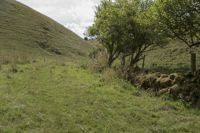
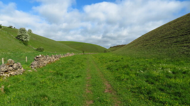
Gratton Images
Images are sourced within 2km of 53.148419/-1.696261 or Grid Reference SK2061. Thanks to Geograph Open Source API. All images are credited.


Gratton is located at Grid Ref: SK2061 (Lat: 53.148419, Lng: -1.696261)
Administrative County: Derbyshire
District: Derbyshire Dales
Police Authority: Derbyshire
What 3 Words
///diplomas.hotel.showcase. Near Youlgreave, Derbyshire
Nearby Locations
Related Wikis

Gratton, Derbyshire
Gratton is a civil parish in the Derbyshire Dales district of central Derbyshire, half a mile west of the neighbouring village, Elton. == See also... ==

Dale End, Derbyshire
Dale End is a hamlet in Derbyshire, England to the west of Elton. == References ==

Elton, Derbyshire
Elton is a village and civil parish in the Derbyshire Dales district of Derbyshire, England, and lies within the Peak District. Its nearest towns are Bakewell...

Long Dale
Long Dale is a carboniferous limestone valley near the village of Elton, Derbyshire, in the Peak District of England. The dale is cut into the plateau...

All Saints' Church, Elton
All Saints’ Church, Elton is a Grade II listed Church of England church in Elton, Derbyshire. == History == Elton was originally one of the chapelries...

Harthill Moor
Harthill Moor is a small upland area in the Derbyshire Peak District of central and northern England, lying between Matlock and Bakewell near the villages...

Duke of York Inn, Elton
The Duke of York Inn is a Grade II listed public house at Main Street, Elton, Derbyshire DE4 2BW.It is on the Campaign for Real Ale's National Inventory...

Middleton-by-Youlgreave
Middleton, often known as Middleton-by-Youlgreave or Middleton-by-Youlgrave to distinguish it from nearby Middleton-by-Wirksworth, is a village in the...
Nearby Amenities
Located within 500m of 53.148419,-1.696261Have you been to Gratton?
Leave your review of Gratton below (or comments, questions and feedback).