Gonalston
Civil Parish in Nottinghamshire Newark and Sherwood
England
Gonalston
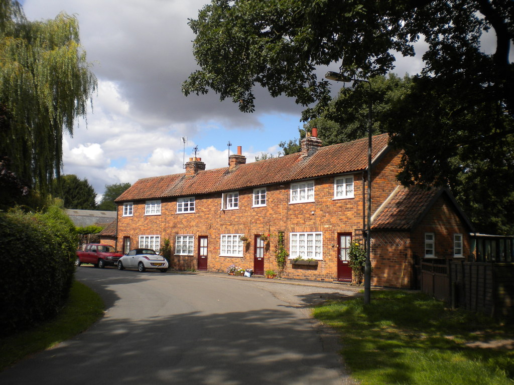
Gonalston is a civil parish located in the county of Nottinghamshire, England. Situated approximately 10 miles northeast of Nottingham city centre, Gonalston is a small, rural village with a population of around 400 residents.
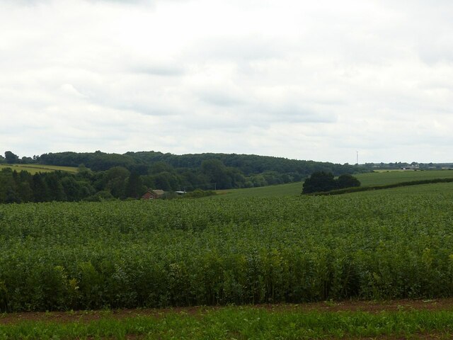
The village is known for its picturesque countryside and tranquil surroundings. It is surrounded by lush green fields and woodlands, providing a peaceful environment for its residents. Gonalston is well-connected to nearby towns and cities through road networks, with the A612 and A6097 providing easy access.
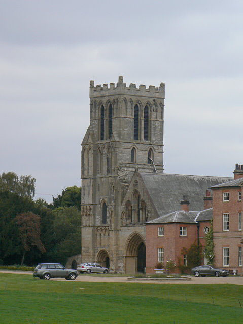
The heart of Gonalston features a charming church, St. Laurence, which dates back to the 13th century. The church is a prominent landmark in the area and holds regular services for the local community. Gonalston also boasts a village hall, which serves as a hub for various community activities and events.
The village has a close-knit community, with residents actively participating in local initiatives and events. Gonalston hosts an annual village fete, bringing together both residents and visitors for a day of fun and entertainment. The fete includes traditional stalls, games, and a range of activities for all ages.
Despite its small size, Gonalston enjoys a rich history, with evidence of Roman and Anglo-Saxon settlements in the surrounding areas. The village has retained its rural charm and offers a peaceful retreat for those seeking a slower pace of life.
If you have any feedback on the listing, please let us know in the comments section below.
Gonalston Images
Images are sourced within 2km of 53.025538/-0.993204 or Grid Reference SK6748. Thanks to Geograph Open Source API. All images are credited.


Gonalston is located at Grid Ref: SK6748 (Lat: 53.025538, Lng: -0.993204)
Administrative County: Nottinghamshire
District: Newark and Sherwood
Police Authority: Nottinghamshire
What 3 Words
///polygraph.tasty.removal. Near Lowdham, Nottinghamshire
Nearby Locations
Related Wikis
Gonalston
Gonalston is a small village in Nottinghamshire lying just to the north-east of Lowdham and almost upon the A612 trunk road that runs from Nottingham...
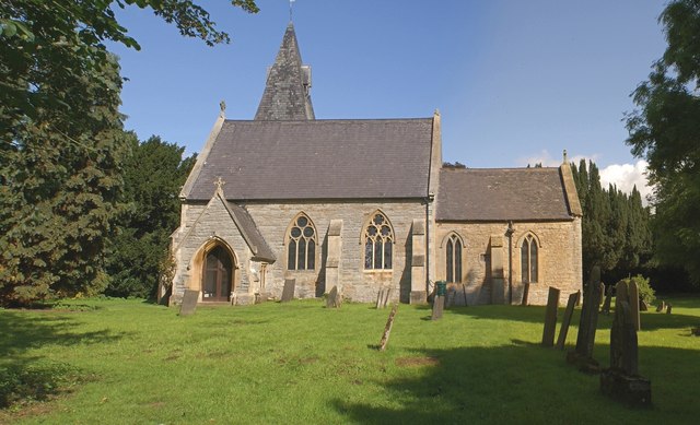
St Laurence's Church, Gonalston
St Laurence's Church, Gonalston is a Grade II listed parish church in the Church of England in Gonalston. == History == The church dates from the 14th...

A612 road
The A612 road is an A-class road in the United Kingdom running between Nottingham and Averham, on the A617 near Newark. It starts in central Nottingham...
St Mary's Church, Lowdham
St Mary's Church is a Grade I listed parish church in the Church of England in Lowdham. == History == The church dates from the 13th century but was restored...
Priory Church of St Peter, Thurgarton
The Priory Church of St Peter, Thurgarton is a former house of Canons Regular or "Black Canons" and now a Church of England church in Thurgarton, Nottinghamshire...
Lowdham
Lowdham is a village and civil parish in the Newark and Sherwood district of Nottinghamshire between Nottingham and Southwell. At the 2001 census it had...

Hoveringham
Hoveringham is a small village and civil parish in Nottinghamshire about 10 miles (16 km) northeast of Nottingham and on the west side of the River Trent...

Lowdham railway station
Lowdham railway station is a Grade II listed railway station which serves the village of Lowdham in Nottinghamshire, England. == History == It is on the...
Nearby Amenities
Located within 500m of 53.025538,-0.993204Have you been to Gonalston?
Leave your review of Gonalston below (or comments, questions and feedback).