Girton
Civil Parish in Cambridgeshire South Cambridgeshire
England
Girton

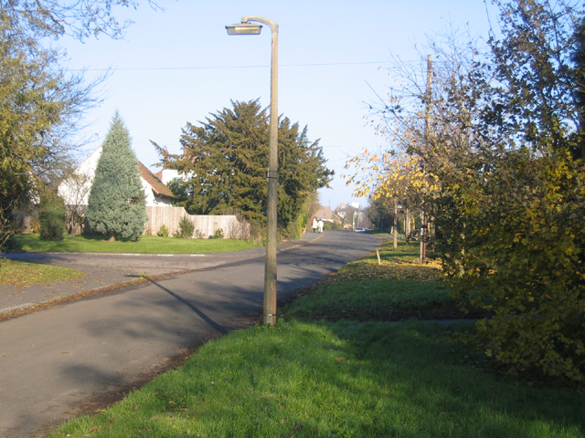
Girton is a civil parish located in the South Cambridgeshire district of Cambridgeshire, England. Situated approximately 5 miles northwest of the city of Cambridge, it covers an area of around 2.4 square miles. The parish is primarily residential, with a population of around 4,500 people.
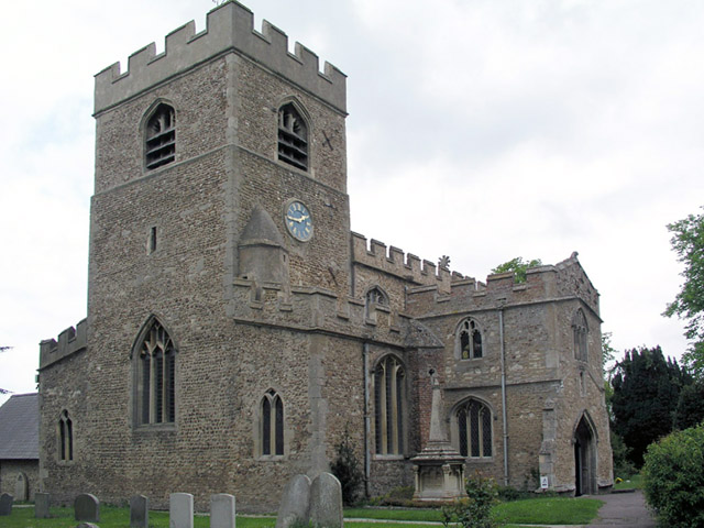
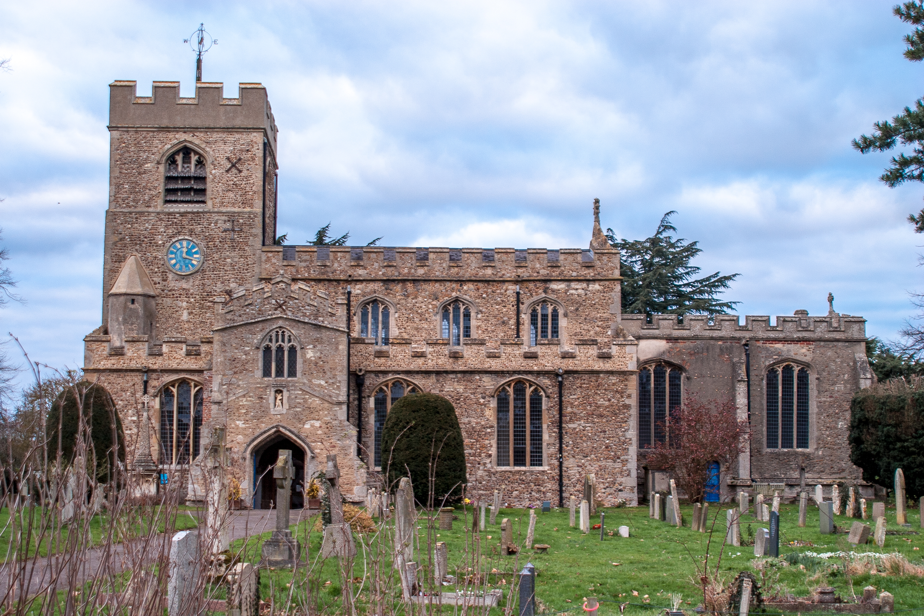
Girton is known for its picturesque countryside and historic charm. The village itself has a rich history, dating back to the Anglo-Saxon era. It boasts several notable landmarks, including St Andrew's Church, which dates back to the 13th century and features a distinctive tower.
The village has a thriving community, with a range of amenities and services to cater to the residents' needs. These include a primary school, a village hall, a convenience store, and a post office. There are also several pubs and restaurants, providing options for dining and socializing.
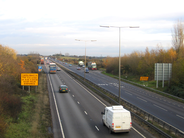
Girton benefits from its proximity to the city of Cambridge, which offers a wide range of cultural, educational, and recreational opportunities. The village is well-connected to Cambridge and other nearby towns and cities via road and public transportation.
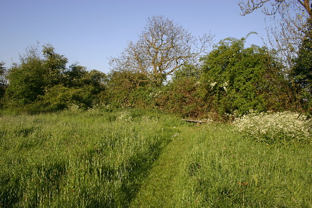
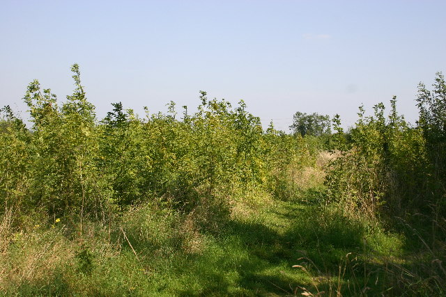
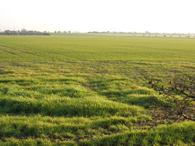
In terms of natural beauty, Girton is surrounded by picturesque countryside, with several walking and cycling routes available for outdoor enthusiasts. The village is also located near the River Cam, offering opportunities for boating and other water activities.
Overall, Girton is a charming and vibrant civil parish in Cambridgeshire, offering a peaceful residential setting with easy access to the amenities and attractions of Cambridge.
If you have any feedback on the listing, please let us know in the comments section below.
Girton Images
Images are sourced within 2km of 52.239613/0.071596 or Grid Reference TL4162. Thanks to Geograph Open Source API. All images are credited.


Girton is located at Grid Ref: TL4162 (Lat: 52.239613, Lng: 0.071596)
Administrative County: Cambridgeshire
District: South Cambridgeshire
Police Authority: Cambridgeshire
What 3 Words
///fonts.rent.maybe. Near Girton, Cambridgeshire
Nearby Locations
Related Wikis
Girton, Cambridgeshire
Girton is a village and civil parish of about 1,600 households, and 4,500 people, in Cambridgeshire, England. It lies about 2 miles (3 km) to the northwest...

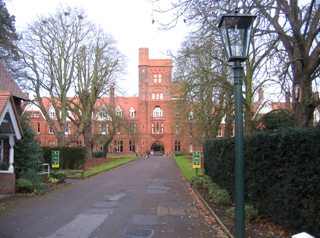
Girton College, Cambridge
Girton College is one of the 31 constituent colleges of the University of Cambridge. The college was established in 1869 by Emily Davies and Barbara Bodichon...

Huntingdon Road
Huntingdon Road is a major arterial road linking central Cambridge, England with Junction 14 of the M11 motorway and the A14 northwest from the city centre...

Howes, Cambridgeshire
Howes was a hamlet located on Huntingdon Road between Girton and Cambridge. It was known to have been in existence by 1219 and it began to decline in the...
Nearby Amenities
Located within 500m of 52.239613,0.071596Have you been to Girton?
Leave your review of Girton below (or comments, questions and feedback).