Brockton

Settlement in Staffordshire Stafford

England

Brockton

Entering the small Hamlet of Sugnall The sign is showing the Sugnall walled kitchen garden to the left, which is part of the Sugnall Hall Estate.  see<span class="nowrap"><a title="http://www.sugnall.co.uk/history.html" rel="nofollow ugc noopener" href="http://www.sugnall.co.uk/history.html">Link</a><img style="margin-left:2px;" alt="External link" title="External link - shift click to open in new window" src="https://s1.geograph.org.uk/img/external.png" width="10" height="10"/></span>
Entering the small Hamlet of Sugnall Credit: Mick Malpass

Brockton is a small village located in the county of Staffordshire, England. Situated approximately 10 miles northeast of the county town of Stafford, it is nestled amidst the picturesque countryside of the West Midlands region. With a population of around 500 residents, Brockton offers a peaceful and close-knit community atmosphere.

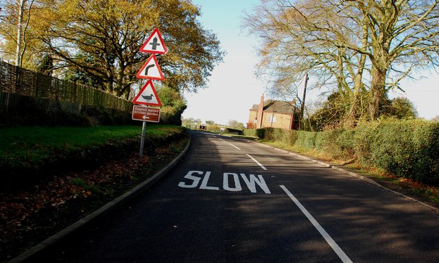
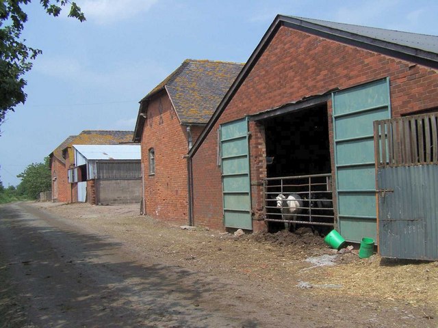
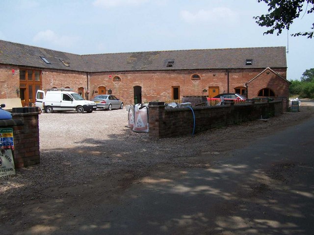
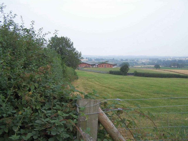
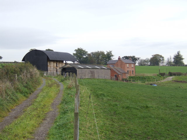
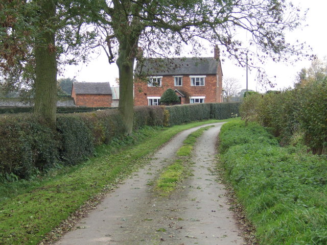
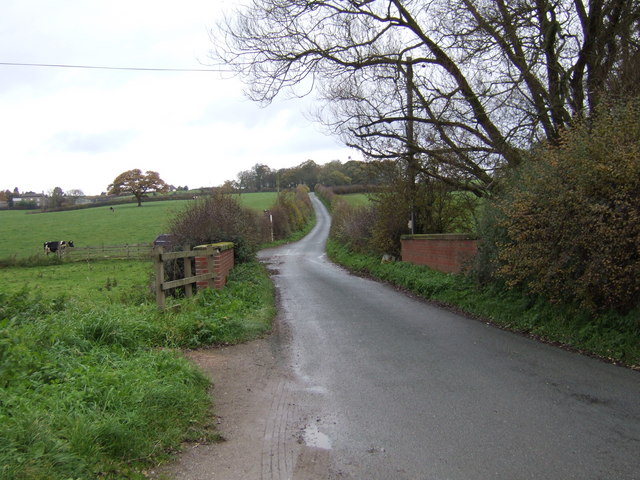
The village is characterized by its charming rural setting, surrounded by rolling hills, meadows, and farmland. It is an ideal destination for nature enthusiasts and those seeking a tranquil escape from the hustle and bustle of city life. The area is dotted with picturesque walking trails, providing ample opportunities for outdoor activities such as hiking and cycling.

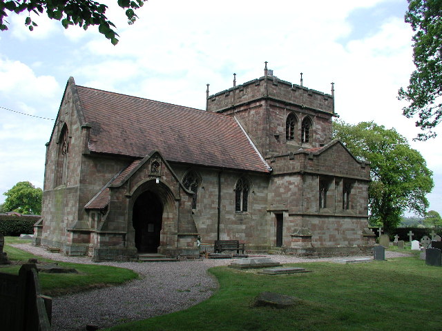
Historically, Brockton has an intriguing past, with evidence of human settlement dating back to the Roman period. The village boasts several well-preserved heritage buildings, including St. Mary's Church, a Grade II listed structure dating from the 13th century. The church's architecture features a combination of Norman and Gothic styles, making it a notable attraction for history buffs and architecture enthusiasts alike.

While small in size, Brockton benefits from its close proximity to larger towns and cities. The vibrant town of Stafford is easily accessible, offering a range of amenities including shops, restaurants, and leisure facilities. Additionally, the village enjoys good transport links, with regular bus services connecting it to neighboring areas.

Overall, Brockton provides a serene and idyllic rural living experience, with its rich history, stunning natural beauty, and strong sense of community.

If you have any feedback on the listing, please let us know in the comments section below.
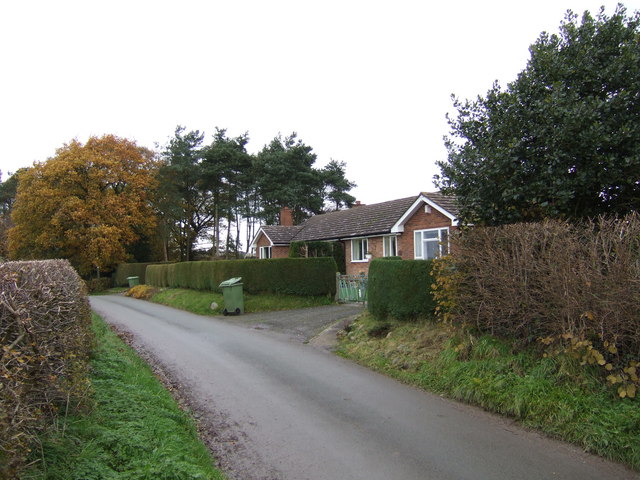
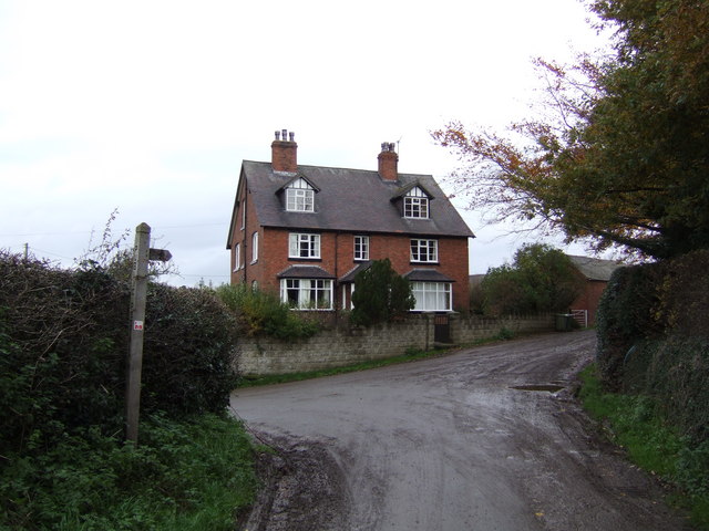
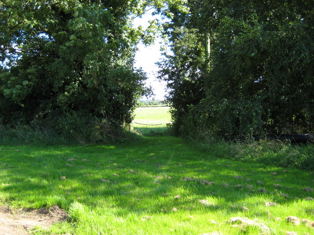
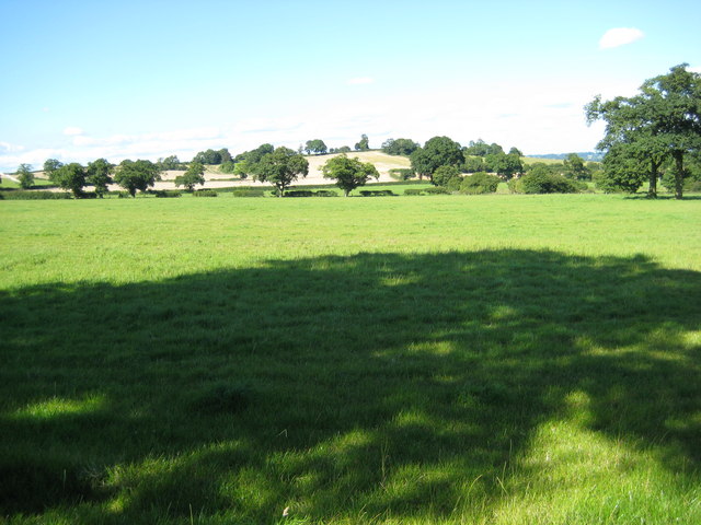
Brockton Images

Images are sourced within 2km of 52.882874/-2.274144 or Grid Reference SJ8131. Thanks to Geograph Open Source API. All images are credited.

Entering the small Hamlet of Sugnall The sign is showing the Sugnall walled kitchen garden to the left, which is part of the Sugnall Hall Estate.  see<span class="nowrap"><a title="http://www.sugnall.co.uk/history.html" rel="nofollow ugc noopener" href="http://www.sugnall.co.uk/history.html">Link</a><img style="margin-left:2px;" alt="External link" title="External link - shift click to open in new window" src="https://s1.geograph.org.uk/img/external.png" width="10" height="10"/></span>
Entering the small Hamlet of Sugnall
The sign is showing the Sugnall walled kitchen garden to the left, which is part of the Sugnall Hall Estate. seeLinkExternal link
Pasture to the left of Sugnall Hall The main Hall is on the opposite side of the B5026 to the Walled Garden.  see<span class="nowrap"><a title="http://www.sugnall.co.uk/history.html" rel="nofollow ugc noopener" href="http://www.sugnall.co.uk/history.html">Link</a><img style="margin-left:2px;" alt="External link" title="External link - shift click to open in new window" src="https://s1.geograph.org.uk/img/external.png" width="10" height="10"/></span>
Pasture to the left of Sugnall Hall
The main Hall is on the opposite side of the B5026 to the Walled Garden. seeLinkExternal link
Outbuildings for Sugnall Hall
Lily and Friend Lily a Fowler steam roller and friend at the Eccleshall show.
Lily and Friend
Lily a Fowler steam roller and friend at the Eccleshall show.
Slindon (Staffs) St Chad's Church
Farm Buildings Near Brockton Hall
Brockton Farm
Brockton Farm
Entrance to Hill Top Farm
Little Sugnall Farm
Little Sugnall Farm
Little Ankerton Cats Hill Little Ankerton on Ankerton Lane Sturbridge
Little Ankerton Cats Hill
Little Ankerton on Ankerton Lane Sturbridge
Ankerton House High Above Eccleshall (121m) Ankerton House and Farm
Ankerton House
High Above Eccleshall (121m) Ankerton House and Farm
Spring Fields Farm Looking east along the bridleway with Spring Fields on the side of the hill.
Spring Fields Farm
Looking east along the bridleway with Spring Fields on the side of the hill.
New House Farm New house Farm on the quietlane between Brockton and the B5056 near Pershall.
New House Farm
New house Farm on the quietlane between Brockton and the B5056 near Pershall.
Brown's Bridge View across the bridge north towards Walford
Brown's Bridge
View across the bridge north towards Walford
Bungalows and lane near Aspley High on the hill (120m) bungalows nestle protected by the nearby copse on the narrow lane towards Aspley.
Bungalows and lane near Aspley
High on the hill (120m) bungalows nestle protected by the nearby copse on the narrow lane towards Aspley.
Lane junction and house  in Aspley Victorian ( marked HJ 1909 above window lintel) house dominates the lane junction with the farm entrance Aspley House Farm
Lane junction and house in Aspley
Victorian ( marked HJ 1909 above window lintel) house dominates the lane junction with the farm entrance Aspley House Farm
Path opposite Highlanes Farm Opening in hedgerow opposite Highlanes Farm
Path opposite Highlanes Farm
Opening in hedgerow opposite Highlanes Farm
Fields north of B5026 Countryside between Sugnall and Little Sugnall
Fields north of B5026
Countryside between Sugnall and Little Sugnall
Show me another place!

Brockton is located at Grid Ref: SJ8131 (Lat: 52.882874, Lng: -2.274144)

Administrative County: Staffordshire

District: Stafford

Police Authority: Staffordshire

What 3 Words

///staining.version.transcribes. Near Eccleshall, Staffordshire

Nearby Locations

Brockton

Related Wikis

A519 road

The A519 is a road in the Midlands, United Kingdom. == Route == It that runs between Newcastle-under-Lyme, Staffordshire and Newport, Shropshire. At Newport...

Eccleshall F.C.

Eccleshall Football Club is a football club based in Eccleshall, Staffordshire, England. They are currently members of the North West Counties League Division...

HM Prison Drake Hall

HMP Prison Drake Hall is a women's closed prison, located near the town of Eccleshall in Staffordshire, England. The prison is operated by His Majesty...

Cop Mere

Cop Mere is one of the largest natural bodies of water in Staffordshire, England, covering 42 acres (17 ha). It has been designated a SSSI as an oligotrophic...

Eccleshall Castle

Eccleshall Castle is located in Eccleshall, Staffordshire, England (grid reference SJ827295). It was originally built in the 13th century. It is a Scheduled...

Mill Meece Pumping Station

Mill Meece Pumping Station is a pumping station, located in the village of Mill Meece in Staffordshire, England. Its function, powered by steam engines...

Holy Trinity Church, Eccleshall

Holy Trinity Church in Eccleshall, Staffordshire, England, is a Grade I listed Anglican church. The building dates mostly from the 13th century, and there...

Croxton, Staffordshire

Croxton is a village on the B5026 between Eccleshall and Loggerheads. Population details for the 2011 census can be found under Eccleshall. It is notable...

Nearby Amenities

Located within 500m of 52.882874,-2.274144
Source: www.npemap.org.uk
Uk Postcode Centroid: ST21
Lat/Long: 52.885049/-2.278164
The data included in this document is from www.openstreetmap.org. The data is made available under ODbL.

Have you been to Brockton?

Leave your review of Brockton below (or comments, questions and feedback).